2010s Maps of Carter County, Kentucky
Explore 60 historic maps of Carter County from the 2010s. These maps offer a rare glimpse into what life looked like during the 2010s — showing old roads, neighborhoods, homes, and landmarks that have changed or disappeared over time.
Whether you're researching your family's past, planning a metal detecting trip, or studying how Carter County's landscape evolved across the 2010s, these high-resolution maps are a powerful tool for exploring the history of this region.
- Focus on a specific era: All maps on this page are from the 2010s, giving you a focused view of this time period.
- See what’s changed: Compare century-old streets, trails, and buildings to today's modern landscape using overlays and satellite layers.
- Research with precision: Use these maps for genealogy, historical research, land use analysis, or educational projects.
- View, download, or print: Maps are fully viewable online in high resolution, and can be downloaded or printed for your own records.
Start exploring Carter County's history through authentic maps from the 2010s. This is your window into the past.
Carter County, KY maps
(60)- 2010 Map of Wesleyville, 2010 Print
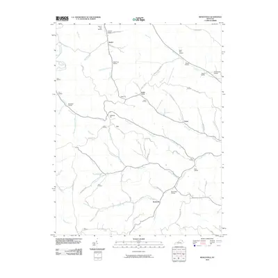 2010 Wesleyville2010 Print · USGSWesleyville and the creek-carved valleys of Carter County are shown in detail during the early twenty-first century. Genealogists can trace family footprints across several rural burial grounds like Sexton Cemetery and old settlements such as Poplar and Eby.
 - 2010 Map of Bruin, 2010 Print
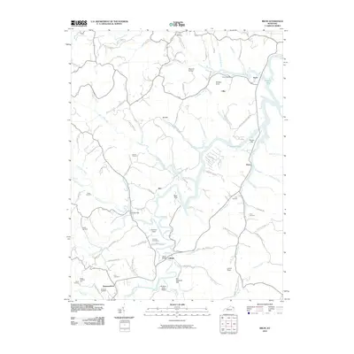 2010 Bruin2010 Print · USGSElliott County's rural character is well-preserved in this study of the hills and hollows surrounding the upper reaches of Grayson Lake. Researchers can trace old family sites and crossroads like Ibex, Newfoundland, and Bruin, or locate remote burials such as Mock Cemetery and Oney Cemetery.
 - 2010 Map of Tygarts Valley, 2010 Print
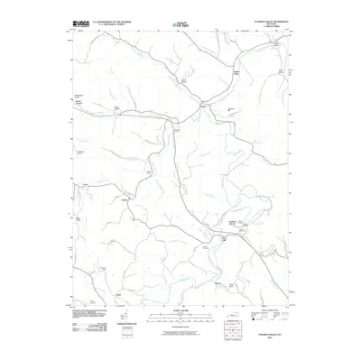 2010 Tygarts Valley2010 Print · USGSThe Tygarts Creek valley in northeastern Kentucky shows a landscape of deep hollows and early industrial sites at the start of the 21st century. Researchers can trace family history through many local landmarks, including Charlotte Furnace, the Wolf Post Office, and Everman Cemetery.
 - 2010 Map of Rush, 2010 Print
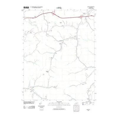 2010 Rush2010 Print · USGSEastern Kentucky's coal-country hollows are captured here at the start of the 2010s. Researchers can trace family history through numerous remote burial sites like Sexton Cemetery and O'Neal Cemetery or locate old rail and postal hubs such as Music and Coalton.
 - 2010 Map of Grayson, 2010 Print
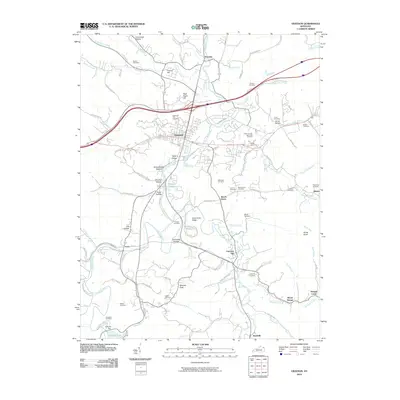 2010 Grayson2010 Print · USGSCarter County's rugged valley landscape is captured here in the early twenty-first century, centered on the community of Grayson. Genealogists and local historians can locate dozens of burial sites like Seaton Cemetery or trace the early paths through Dark Hollow and Pope Hollow.
 - 2010 Map of Olive Hill, 2010 Print
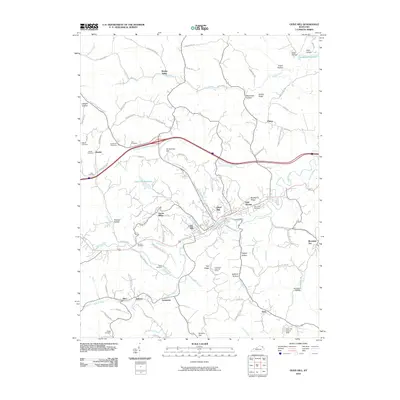 2010 Olive Hill2010 Print · USGSOlive Hill and the surrounding Carter County hollows are captured here at the start of the 2010s. Researchers can trace family roots through numerous sites like Ash Cemetery or Kilgore Cemetery, and locate landmarks such as the Tick Ridge Look Out Tower.
 - 2010 Map of Ault, 2010 Print
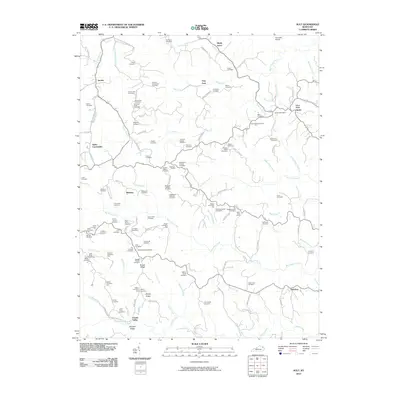 2010 Ault2010 Print · USGSEastern Kentucky's ridge country is documented here at the start of the decade, showing the deeply ingrained family settlements of Elliott County. Genealogists can locate specific ancestral sites like Fannin Crossing, the Gimlet Post Office, and the Beartown Church.
 - 2010 Map of Argillite, 2010 Print
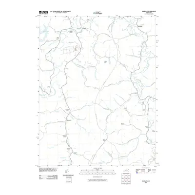 2010 Argillite2010 Print · USGSThe valleys of Greenup County are shown here in the early twenty-first century, centered on the Little Sandy River. Researchers can trace local heritage through sites like the Hunnewell Cemetery, the Argillite Lookout Tower, and the settlement at Danleyton.
 - 2010 Map of Webbville, 2010 Print
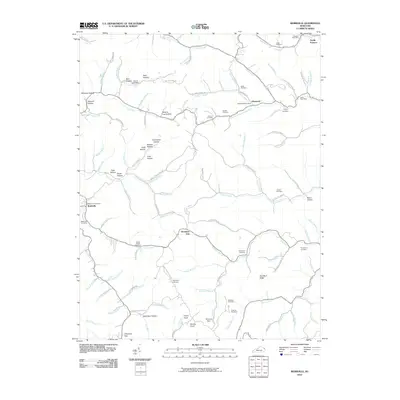 2010 Webbville2010 Print · USGSThe Lawrence County hills around Webbville and Glenwood are shown here in the early twenty-first century. Genealogists can locate family landmarks like Ratcliff Cemetery and Leslie Cemetery, while exploring the reach of the East Fork Little Sandy River.
 - 2010 Map of Grahn, 2010 Print
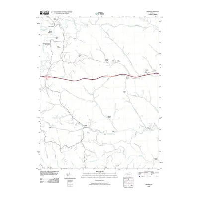 2010 Grahn2010 Print · USGSTucked into the ridges of Carter County during the early twenty-first century, this area shows a landscape defined by deep hollows and rural outposts. Researchers can trace family history at the Bailey Cemetery or explore landmarks like the Aden Tunnel and Old Hanging Prison Wall Gardens.
 - 2010 Map of Oldtown, 2010 Print
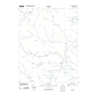 2010 Oldtown2010 Print · USGSGreenup County, Kentucky, is shown in this 2010 survey as a landscape of rural settlements and family-named hollows. Genealogists can trace numerous burial sites such as Rose Cemetery and Warnock Cemetery near the Little Sandy River.
 - 2010 Map of Willard, 2010 Print
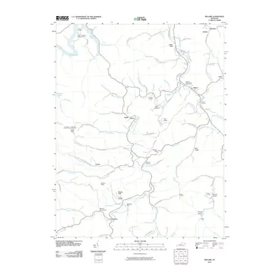 2010 Willard2010 Print · USGSThe hill country of eastern Kentucky comes into focus here during the early twenty-first century. Family history researchers can locate numerous burial sites and small settlements, such as the Kitchen Cemetery, Beetle, and the Mountain Chapel United Baptist Church.
 - 2010 Map of Garrison, 2010 Print
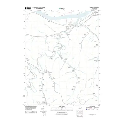 2010 Garrison2010 Print · USGSNortheastern Kentucky hill country meets the riverfront in the early twenty-first century, showing a landscape defined by its waterways and hollows. Genealogists and local historians can locate several family cemeteries like Christy Cemetery and Matty Cemetery or trace old river access points at McCormack Landing.
 - 2011 Map of Soldier, 2011 Print
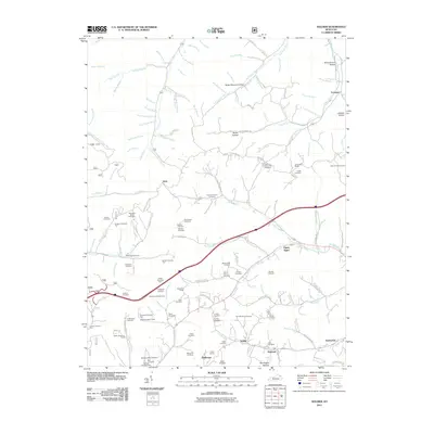 2011 Soldier2011 Print · USGSThe rural communities of Carter County are documented here in the early twenty-first century, centered on the historic rail corridor between Soldier and Haldeman. Genealogists can trace dozens of family burial sites, including Rayburn Community Cemetery, the Triplet Tunnel, and the remote settlement of Fitch.
 - 2011 Map of Haldeman, 2011 Print
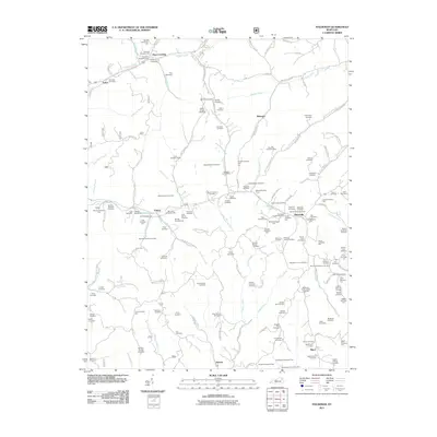 2011 Haldeman2011 Print · USGSEastern Kentucky's hollows and ridges were meticulously documented in the early twenty-first century, showing a landscape shaped by narrow valleys and family legacies. Genealogists can locate dozens of remote burial sites, such as the Abbott-Sturgill Cemetery and Goodan-Fultz Cemetery, near the hamlet of Elliottville.
 - 2013 Map of Argillite, 2013 Print
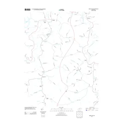 2013 Argillite2013 Print · USGSGreenup County at the turn of the millennium remains a landscape of deep hollows and family-named landmarks along the Little Sandy River. Researchers can trace ancestral roots through numerous burial sites like Hunnewell Cem or locate old community hubs at Argillite and Naples.
 - 2013 Map of Grayson, 2013 Print
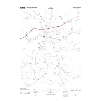 2013 Grayson2013 Print · USGSThe Grayson area in the early 2010s reveals a landscape where the Little Sandy River connects quiet hollows with historic rural settlements. Researchers can locate numerous family burial sites, including Keffer Cem and Bolding Cem, or trace landmarks like Lindsey Chapel.
 - 2013 Map of Willard, 2013 Print
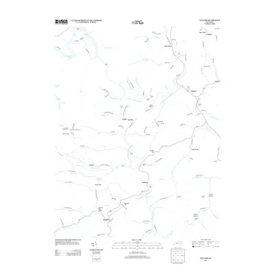 2013 Willard2013 Print · USGSThe rural valleys of northeastern Kentucky are captured here in the early twenty-first century, showing a landscape of family-run hollows and winding waterways. Researchers can trace ancestral locations near Backbone Cem, the settlement of Willard, and the high ground at Frazier Flat Lookout Tower.
 - 2013 Map of Rush, 2013 Print
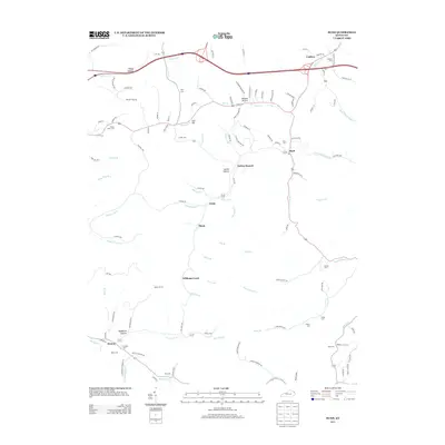 2013 Rush2013 Print · USGSNortheastern Kentucky’s hollows and rural hamlets are preserved in this 2013 survey, showing the enduring settlement patterns of Boyd and Carter counties. Genealogists can locate family burial sites like Sally Cem and Hazlet Cem or trace the path of the Means Tunnel.
 - 2013 Map of Webbville, 2013 Print
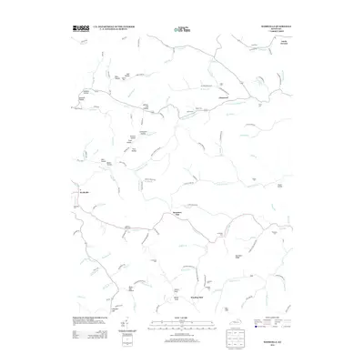 2013 Webbville2013 Print · USGSThe rural landscapes around Webbville and Glenwood are revealed in this 2013 survey of northeastern Kentucky. Genealogists and local historians can trace family roots through numerous remote burial grounds, including James C Webb Cem, Hammond Cem, and Leadman Cem.
 - 2013 Map of Oldtown, 2013 Print
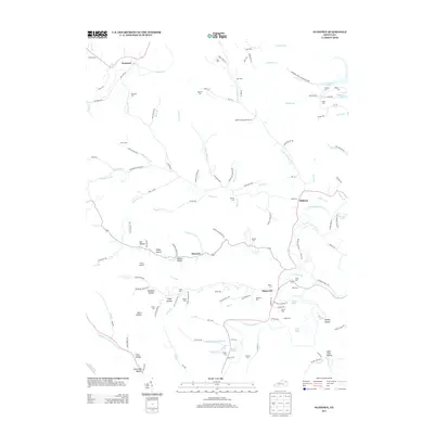 2013 Oldtown2013 Print · USGSGreenup County's intricate network of ridges and creek branches is meticulously documented in the early twenty-first century. Genealogists and local researchers can locate numerous family burial sites like Warnock Cem and explore the hollows surrounding Oldtown and Hopewell.
 - 2013 Map of Grahn, 2013 Print
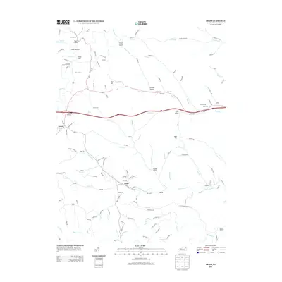 2013 Grahn2013 Print · USGSThe creek-bottom communities of Carter County are documented here in the early twenty-first century, showing the rural landscape around Grahn and Aden. Researchers can locate numerous family burial grounds like Wilson Cem and unique landmarks such as the Aden Tunnel and Fern Bridge.
 - 2013 Map of Tygarts Valley, 2013 Print
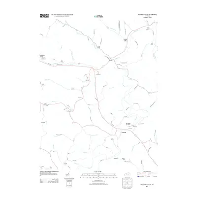 2013 Tygarts Valley2013 Print · USGSTygarts Valley and its industrial heritage are documented in this early twenty-first-century survey of Carter County. Genealogists and historians can trace family land via Everman Cem, locate the site of Boone Furnace, or follow the winding path of Tygarts Cr.
 - 2013 Map of Wesleyville, 2013 Print
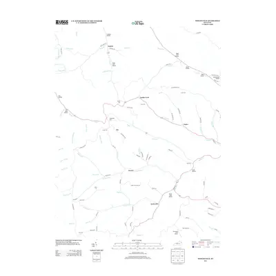 2013 Wesleyville2013 Print · USGSWesleyville and the surrounding hollows of Carter County are captured here just after the turn of the millennium. Researchers can trace family history through local landmarks like Sexton Cem, the small settlement at Rugless, and distinctive terrain such as Deep Cut.
 - 2013 Map of Haldeman, 2013 Print
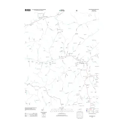 2013 Haldeman2013 Print · USGSRowan County at the start of the 2010s reveals a landscape deeply anchored by family history and rural settlements. Researchers can trace ancestral locations across dozens of sites like the Goodan-Fultz Cem and Benjamin Caudill Cem near Elliottville.
Showing maps 1-25 of 60
Top cities of Carter County
Frequently asked questions
- What are the different types of historical maps available for Carter County?
- What is the oldest map of Carter County?
- Where can I purchase historical maps of Carter County for my home or office?
- Where can I download high-res historical maps of Carter County?
- Are there historical topographic maps available for Carter County?
- Is there historical aerial imagery available for Carter County?
- Where are historical maps of Carter County sourced from?