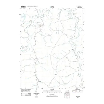
2010 Map of Argillite
USGS Topo · Published 2010About this map
The Little Sandy River and its multiple forks define the landscape of eastern Kentucky in this 2010 survey. Small settlements such as Argillite, Hunnewell, and Danleyton appear as scattered communities connected by narrow roads that wind through the narrow valleys and hollows. The presence of the Argillite Lookout Tower on a high ridge overlooking Culp Creek suggests a history of forest management and fire observation in this heavily wooded region.
Find a feature on this map
79 named features on this map. Tap any name to fly to it.
Don’t see what you’re looking for? This feature index may not catch every label — zoom into the map to look around manually.
Map Details
Editions of this 2010 Argillite Map
This is the sole edition of this map. No revisions or reprints were ever made.
Other maps of this area

1898 · Ironton
USGS Topo · 1:62,500

1900 · Ironton
USGS Topo · 1:62,500

1901 · Ceredo
USGS Topo · 1:62,500

1903 · Kenova
USGS Topo · 1:125,000

1904 · Kenova
USGS Topo · 1:125,000

1913 · Ceredo
USGS Topo · 1:62,500

1926 · Greenup
USGS Topo · 1:48,000

1930 · Greenup
USGS Topo · 1:62,500

1953 · Grayson
USGS Topo · 1:24,000

1953 · Oldtown
USGS Topo · 1:24,000