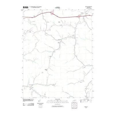
2010 Map of Rush
USGS Topo · Published 2010About this map
Williams Creek carves a central path through this section of eastern Kentucky, defining a landscape marked by narrow hollows and numerous family-named landmarks. The area around the settlements of Coalton and Music is characterized by a dense network of country roads following the terrain of Foggy Hollow and Hogshead Hollow. In this rural corridor, small communities like Star Hill and North Branch appear alongside long-standing local landmarks such as Means Tunnel and the Rush Post Office.
Find a feature on this map
74 named features on this map. Tap any name to fly to it.
Don’t see what you’re looking for? This feature index may not catch every label — zoom into the map to look around manually.
Map Details
Editions of this 2010 Rush Map
This is the sole edition of this map. No revisions or reprints were ever made.
Other maps of this area

1901 · Ceredo
USGS Topo · 1:62,500

1903 · Kenova
USGS Topo · 1:125,000

1904 · Kenova
USGS Topo · 1:125,000

1911 · Louisa
USGS Topo · 1:48,000

1913 · Ceredo
USGS Topo · 1:62,500

1913 · Louisa
USGS Topo · 1:62,500

1939 · Louisa
USGS Topo · 1:62,500

1953 · Grayson
USGS Topo · 1:24,000

1953 · Oldtown
USGS Topo · 1:24,000

1953 · Rush
USGS Topo · 1:24,000