Old Maps of Bass, Kentucky for Hiking & Exploration
Hike through history with 10 historic maps of Bass. Explore old trails, ghost towns, and forgotten backroads — perfect for outdoor adventurers and local explorers.
- Rediscover forgotten places: Map out old mining camps, roads, and footpaths that no longer exist on modern maps.
- Layer with modern tools: Combine with LiDAR or satellite views to plan hikes through historical terrain.
- Made for exploration: Popular among hikers, overlanders, and local history lovers.
Use these maps to find adventure and explore the hidden past of Bass.
Bass, KY maps
(10)- 1952 Map of Mannsville, 1954 Print
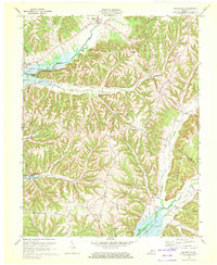
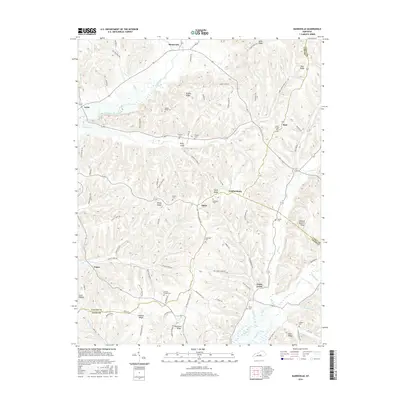
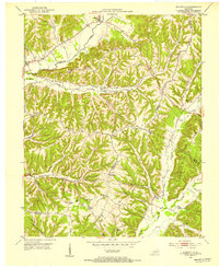 1952 Mannsville1954 Print · USGSThe Taylor and Casey County borderlands are documented here at mid-century, showing a landscape of high ridges and rural settlements. Genealogists can locate family-named landmarks and institutions like Gaddis Ridge Cem, Farmers Sch, and Mt Zion Ch.2 unique versions available
 - 1957 Map of Winchester, 1968 Print
 1957 Winchester1968 Print · USGSCentral Kentucky's landscape in the mid-twentieth century features the sprawling Fort Knox and the early parkway system. Genealogists and historians can trace rail lines like the Southern Railway and find landmarks from Bernheim Forest to Pilot Knob.3 unique versions available
 - 1960 Map of Winchester
 1960 Winchester1960 Print · USGSCentral Kentucky's diverse landscape is shown here at mid-century, from the bluegrass plains to the rugged Pottsville Escarpment. Genealogists and historians can trace the rail-and-river network connecting towns like Bardstown and Stanford alongside landmarks like Lake Cumberland.
 - 1970 Map of Mannsville, 1972 Print
 1970 Mannsville1972 Print · USGSTaylor County settlement meets the rising waters of the Green River reservoir in the 1970s. Genealogists can trace family connections at Christie Chapel, Eastridge Cem, and the small community of Feathersburg tucked between the ridges.
 - 1986 Map of Campbellsville
 1986 Campbellsville1986 Print · USGSCentral Kentucky in the mid-eighties was a landscape of deep river valleys and high ridges. Genealogists can trace family holdings near rural settlements like Phillipsburg or locate landmarks such as Mt Gilead Ch and the Magnolia Gas Storage Field.2 unique versions available
 - 2010 Map of Mannsville, 2010 Print
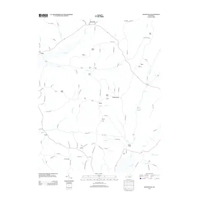
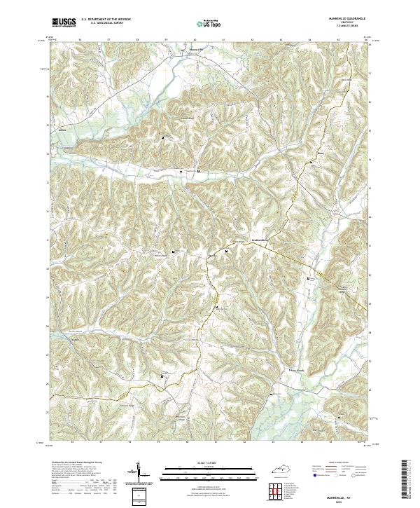
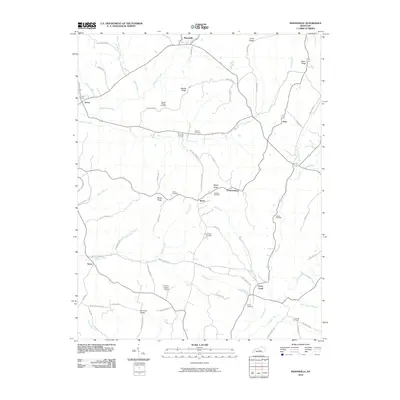 2010 Mannsville2010 Print · USGSCovers Bass, including Casey Creek, Feathersburg, and other nearby areas
 - 2013 Map of Mannsville, 2013 Print
 2013 Mannsville2013 Print · USGSCovers Bass, including Casey Creek, Feathersburg, and other nearby areas
 - 2016 Map of Mannsville, 2016 Print
 2016 Mannsville2016 Print · USGSCovers Bass, including Casey Creek, Feathersburg, and other nearby areas
 - 2019 Map of Mannsville, 2019 Print
 2019 Mannsville2019 Print · USGSCovers Bass, including Casey Creek, Feathersburg, and other nearby areas
 - 2022 Map of Mannsville, 2022 Print
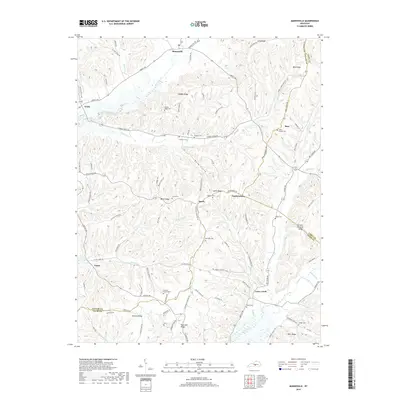
 2022 Mannsville2022 Print · USGSThe hill country of Taylor County is shown here in the 2020s, defined by its intricate ridge systems and rural crossroads. Genealogists can locate family landmarks like Jones Chapel Cem, Christie Chapel Cem, and the small settlements of Mannsville and Casey Creek.
End of results
Showing maps 1-10 of 10
Top cities near Bass
- Campbellsville historical maps
- Lebanon historical maps
- Columbia historical maps
- Liberty historical maps
- Bradfordsville historical maps
Frequently asked questions
- What are the different types of historical maps available for Bass?
- What is the oldest map of Bass?
- Where can I purchase historical maps of Bass for my home or office?
- Where can I download high-res historical maps of Bass?
- Are there historical topographic maps available for Bass?
- Is there historical aerial imagery available for Bass?
- Where are historical maps of Bass sourced from?