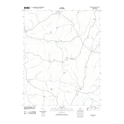
2010 Map of Mannsville
USGS Topo · Published 2010About this map
Mannsville and Casey Creek anchor this landscape where the headwaters of numerous creeks carve through the central Kentucky uplands. The terrain is defined by prominent rises such as Gaddis Ridge and Hovious Ridge, which influence the winding paths of rural routes like Gaddis Ridge Rd and Wilson Creek Rd. Small, dispersed settlements like Acton, Bass, and Speck are scattered across the quadrangle, each connected by a network of local roads that follow the natural topography of the ridges and valleys.
Find a feature on this map
70 named features on this map. Tap any name to fly to it.
Don’t see what you’re looking for? This feature index may not catch every label — zoom into the map to look around manually.
Map Details
Editions of this 2010 Mannsville Map
This is the sole edition of this map. No revisions or reprints were ever made.
Other maps of this area

1952 · Clementsville
USGS Topo · 1:24,000

1952 · Mannsville
USGS Topo · 1:24,000

1952 · Bradfordsville
USGS Topo · 1:24,000

1953 · Campbellsville
USGS Topo · 1:24,000

1953 · Bradfordsville NE
USGS Topo · 1:24,000

1953 · Spurlington
USGS Topo · 1:24,000

1953 · Dunnville
USGS Topo · 1:24,000

1953 · Cane Valley
USGS Topo · 1:24,000

1953 · Bradfordsville
USGS Topo · 1:24,000

1954 · Knifley
USGS Topo · 1:24,000