Old Maps of Lancaster, Kentucky for Metal Detecting
Plan your next treasure hunt with 18 historic maps of Lancaster. Find old homesites, ghost towns, trails, and gathering spots that may be lost to time — perfect for identifying promising metal detecting locations.
- Locate forgotten sites: Uncover places like long-lost settlements, abandoned rail lines, or gathering spots.
- Plan better hunts: Use map overlays combined with LiDAR or satellite views to narrow in on historically rich areas.
- Made for detectorists: Thousands of hobbyists use these maps to discover relics, coins, and hidden history.
Use these historic maps to boost your research and find new opportunities beneath the surface of Lancaster.
Lancaster, KY maps
(18)- 1905 Map of Harrodsburg
 1905 Harrodsburg1905 Print · USGSCentral Kentucky's Bluegrass region is captured here in the early twentieth century, showing a landscape defined by the deep gorges of the Kentucky River. Researchers can trace the era's vital rail networks and river commerce through features like Lock No 7 and the Louisville and Nashville RR.3 unique versions available
 - 1952 Map of Buckeye, 1953 Print
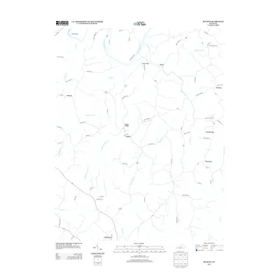
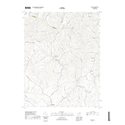
 1952 Buckeye1953 Print · USGSGarrard County's high ridges and river bends are captured here in the early fifties, showing a rural landscape of crossroads hamlets and family farmsteads. Researchers can locate community centers like Teatersville and Bourne or trace rural churches such as Mt Hebron Ch.
 - 1952 Map of Lancaster, 1953 Print
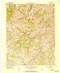
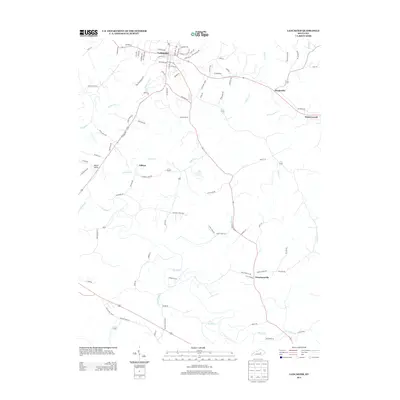
 1952 Lancaster1953 Print · USGSGarrard and Lincoln counties are captured here in the early fifties, where the winding Dix River cuts through traditional Kentucky farm country. Researchers can trace the path of the Wilderness Trail and locate family landmarks like Ashlock Cem or Lawsons Chapel.
 - 1957 Map of Winchester, 1968 Print
 1957 Winchester1968 Print · USGSCentral Kentucky's landscape in the mid-twentieth century features the sprawling Fort Knox and the early parkway system. Genealogists and historians can trace rail lines like the Southern Railway and find landmarks from Bernheim Forest to Pilot Knob.3 unique versions available
 - 1960 Map of Winchester
 1960 Winchester1960 Print · USGSCentral Kentucky's diverse landscape is shown here at mid-century, from the bluegrass plains to the rugged Pottsville Escarpment. Genealogists and historians can trace the rail-and-river network connecting towns like Bardstown and Stanford alongside landmarks like Lake Cumberland.
 - 1961 Map of Lancaster, 1962 Print
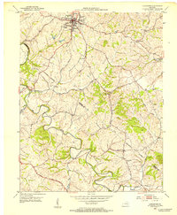
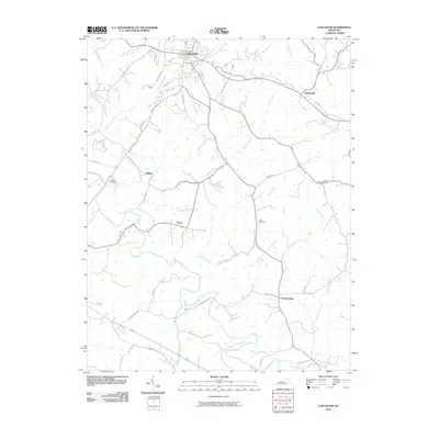
 1961 Lancaster1962 Print · USGSGarrard County during the early sixties centers on the town of Lancaster and the historic path of the Wilderness Road. Researchers can trace the Louisville and Nashville rail line to settlements like Hyattsville and Preachersville.2 unique versions available
 - 1986 Map of Harrodsburg
 1986 Harrodsburg1986 Print · USGSCentral Kentucky in the mid-eighties reveals a landscape defined by the winding Kentucky River and the bustling county seats of the Bluegrass. Genealogists and historians can trace the evolution of Harrodsburg, Danville, and Nicholasville alongside the Lexington Blue Grass Army Depot.
 - 1991 Map of Harrodsburg
 1991 Harrodsburg1991 Print · USGSThe heart of the Bluegrass region comes alive in the late twentieth century, showing the deep river gorges and limestone uplands of central Kentucky. Genealogists and local historians can locate Shakertown, the sprawling Lexington Blue Grass Army Depot, and Berea College.
 - 2010 Map of Buckeye, 2010 Print
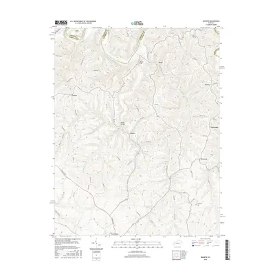
 2010 Buckeye2010 Print · USGSCovers Lancaster, including Judson, Stone, and other nearby areas
 - 2010 Map of Lancaster, 2010 Print
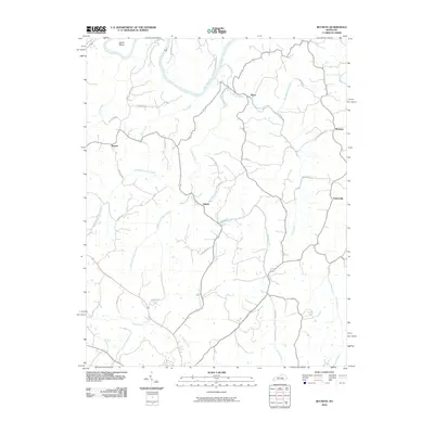
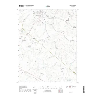
 2010 Lancaster2010 Print · USGSCovers Lancaster, including Hyattsville, Preachersville, and other nearby areas
 - 2013 Map of Lancaster, 2013 Print
 2013 Lancaster2013 Print · USGSCovers Lancaster, including Hyattsville, Preachersville, and other nearby areas
 - 2013 Map of Buckeye, 2013 Print
 2013 Buckeye2013 Print · USGSCovers Lancaster, including Judson, Stone, and other nearby areas
 - 2016 Map of Lancaster, 2016 Print
 2016 Lancaster2016 Print · USGSCovers Lancaster, including Hyattsville, Preachersville, and other nearby areas
 - 2016 Map of Buckeye, 2016 Print
 2016 Buckeye2016 Print · USGSCovers Lancaster, including Judson, Stone, and other nearby areas
 - 2019 Map of Buckeye, 2019 Print
 2019 Buckeye2019 Print · USGSCovers Lancaster, including Judson, Stone, and other nearby areas
 - 2019 Map of Lancaster, 2019 Print
 2019 Lancaster2019 Print · USGSCovers Lancaster, including Hyattsville, Preachersville, and other nearby areas
 - 2022 Map of Lancaster, 2022 Print
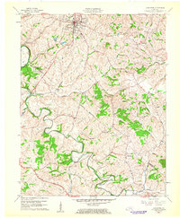
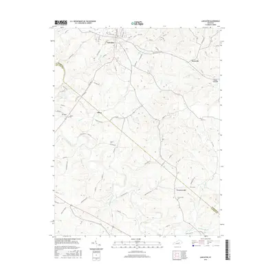
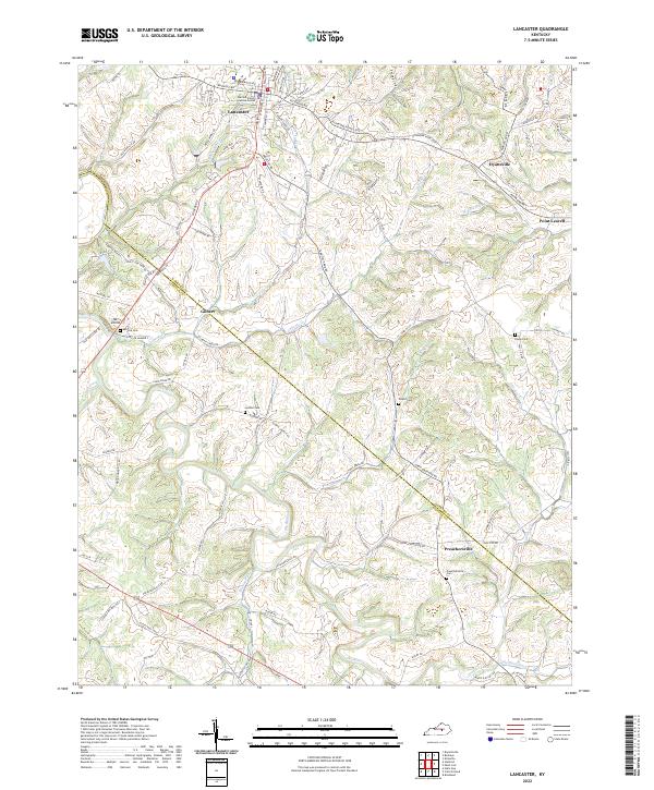 2022 Lancaster2022 Print · USGSGarrard and Lincoln counties are captured here in the early twenty-first century as rural life persists along the winding Dix River. Genealogists can trace family roots through numerous local burial grounds and landmarks including Lancaster Cemetery, Goshen Cem, and Preachersville.
 - 2022 Map of Buckeye, 2022 Print
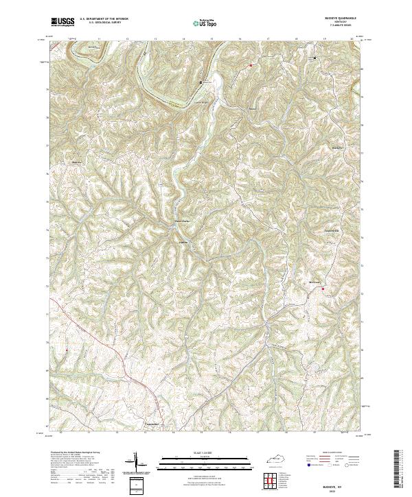 2022 Buckeye2022 Print · USGSGarrard County's dissected uplands and river bluffs are documented here during the early twenty-first century. Researchers can trace rural lineages through local landmarks like Gunns Chapel Cem and small communities such as Teatersville and Buckeye.
End of results
Showing maps 1-18 of 18
Top cities near Lancaster
- Nicholasville historical maps
- Danville historical maps
- Stanford historical maps
- Mount Vernon historical maps
- Junction City historical maps
- Brodhead historical maps
See more
Frequently asked questions
- What are the different types of historical maps available for Lancaster?
- What is the oldest map of Lancaster?
- Where can I purchase historical maps of Lancaster for my home or office?
- Where can I download high-res historical maps of Lancaster?
- Are there historical topographic maps available for Lancaster?
- Is there historical aerial imagery available for Lancaster?
- Where are historical maps of Lancaster sourced from?