2000s (21st Century) Maps of Hardin County, Kentucky
Explore 105 historic maps of Hardin County from the 2000s (21st Century). These maps offer a rare glimpse into what life looked like during the 2000s — showing old roads, neighborhoods, homes, and landmarks that have changed or disappeared over time.
Whether you're researching your family's past, planning a metal detecting trip, or studying how Hardin County's landscape evolved across the 2000s, these high-resolution maps are a powerful tool for exploring the history of this region.
- Focus on a specific era: All maps on this page are from the 2000s, giving you a focused view of this time period.
- See what’s changed: Compare century-old streets, trails, and buildings to today's modern landscape using overlays and satellite layers.
- Research with precision: Use these maps for genealogy, historical research, land use analysis, or educational projects.
- View, download, or print: Maps are fully viewable online in high resolution, and can be downloaded or printed for your own records.
Start exploring Hardin County's history through authentic maps from the 2000s. This is your window into the past.
Hardin County, KY maps
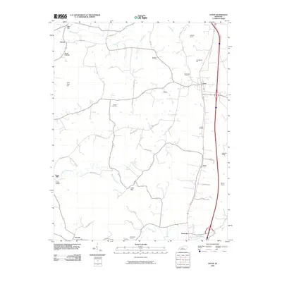
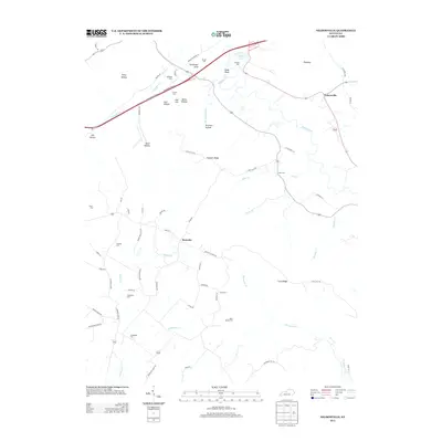
(105)- 2010 Map of Big Clifty, 2010 Print
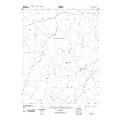 2010 Big Clifty2010 Print · USGSCovers Hardin County, including Clarkson, Limp, and other nearby areas
 - 2010 Map of Big Spring, 2010 Print
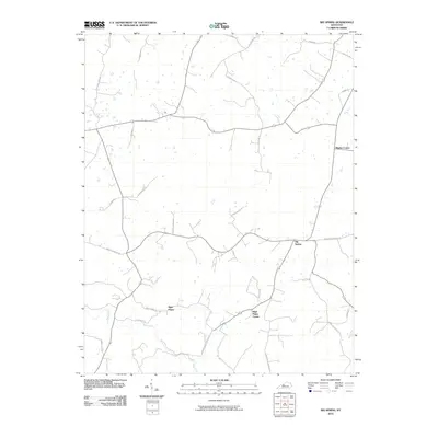 2010 Big Spring2010 Print · USGSCovers Hardin County, including Corners, Bewleyville, and other nearby areas
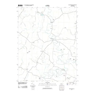
 - 2010 Map of Nelsonville, 2010 Print
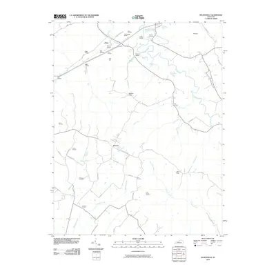 2010 Nelsonville2010 Print · USGSCovers Hardin County, including Roanoke, Nelsonville, and other nearby areas
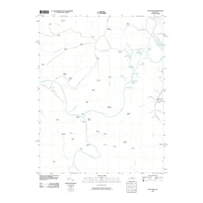
 - 2010 Map of Howe Valley, 2010 Print
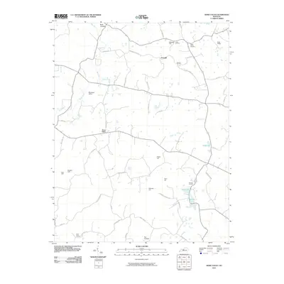 2010 Howe Valley2010 Print · USGSCovers Hardin County, including Perryville, Four Corners, and other nearby areas
 - 2010 Map of Upton, 2010 Print
 2010 Upton2010 Print · USGSCovers Hardin County, including Bonnieville, Lone Star, and other nearby areas
 - 2010 Map of Millerstown, 2010 Print
 2010 Millerstown2010 Print · USGSCovers Hardin County, including Lacon, Spurrier, and other nearby areas
 - 2010 Map of Custer, 2010 Print
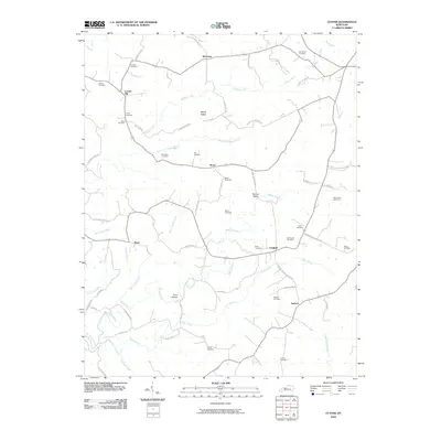 2010 Custer2010 Print · USGSCovers Hardin County, including Fairfield, Locust Hill, and other nearby areas
 - 2010 Map of Summit, 2010 Print
 2010 Summit2010 Print · USGSCovers Hardin County, including White Mills, Old Stephensburg, and other nearby areas
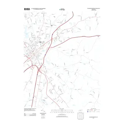
 - 2010 Map of Elizabethtown, 2010 Print
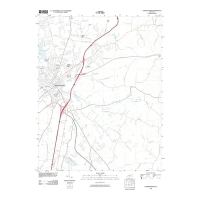 2010 Elizabethtown2010 Print · USGSCovers Hardin County, including Elizabethtown, Indian Hills, and other nearby areas
 - 2010 Map of Lebanon Junction, 2010 Print
 2010 Lebanon Junction2010 Print · USGSCovers Hardin County, including Lebanon Junction, Younger Creek, and other nearby areas
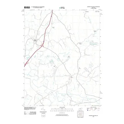
 - 2010 Map of Constantine, 2010 Print
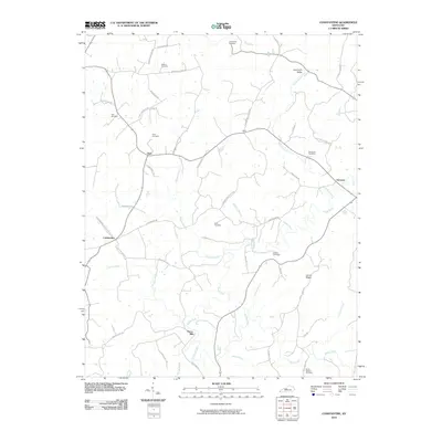 2010 Constantine2010 Print · USGSCovers Hardin County, including Constantine, Dyer, and other nearby areas
 - 2010 Map of Vine Grove, 2010 Print
 2010 Vine Grove2010 Print · USGSCovers Hardin County, including Elizabethtown, Radcliff, and other nearby areas
 - 2010 Map of Tonieville, 2010 Print
 2010 Tonieville2010 Print · USGSCovers Hardin County, including Hodgenville, Tonieville, and other nearby areas
 - 2010 Map of Sonora, 2010 Print
 2010 Sonora2010 Print · USGSCovers Hardin County, including Sonora, Star Mills, and other nearby areas
 - 2010 Map of Flaherty, 2010 Print
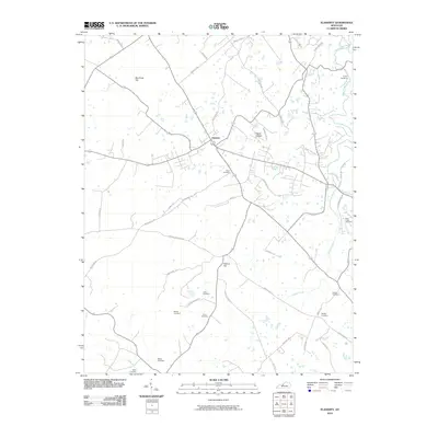 2010 Flaherty2010 Print · USGSCovers Hardin County, including Vine Grove, Meade County, and other nearby areas
 - 2010 Map of Pitts Point, 2010 Print
 2010 Pitts Point2010 Print · USGSCovers Hardin County, including Shepherdsville, Beech Grove, and other nearby areas
 - 2010 Map of Colesburg, 2010 Print
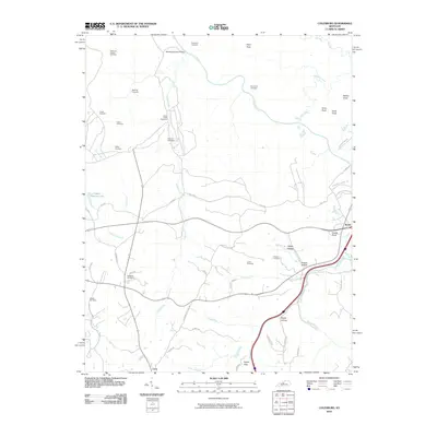 2010 Colesburg2010 Print · USGSCovers Hardin County, including Elizabethtown, Crest, and other nearby areas
 - 2010 Map of Madrid, 2010 Print
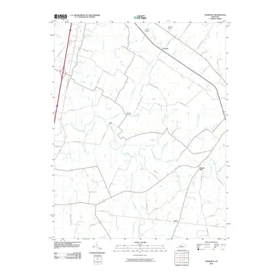
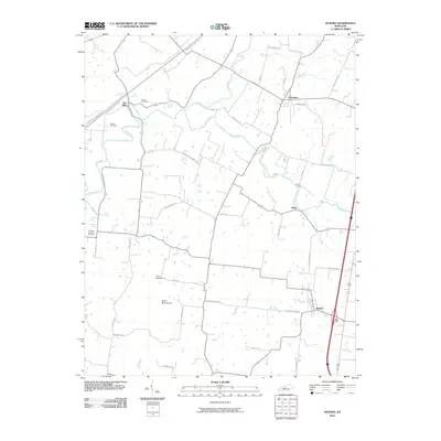
 2010 Madrid2010 Print · USGSCovers Hardin County, including Leitchfield, Hanging Rock, and other nearby areas
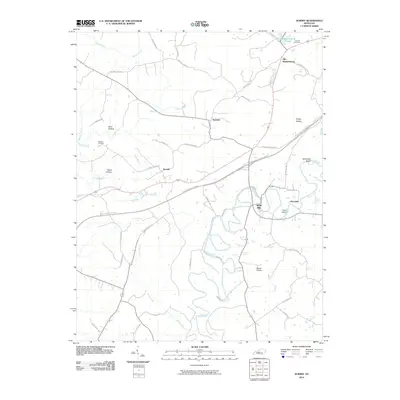
 - 2010 Map of Cecilia, 2010 Print
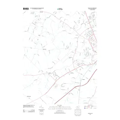
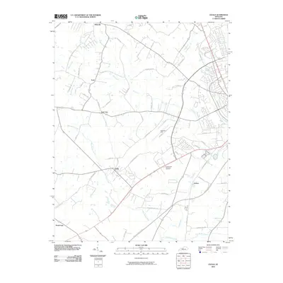 2010 Cecilia2010 Print · USGSCovers Hardin County, including Elizabethtown, Radcliff, and other nearby areas
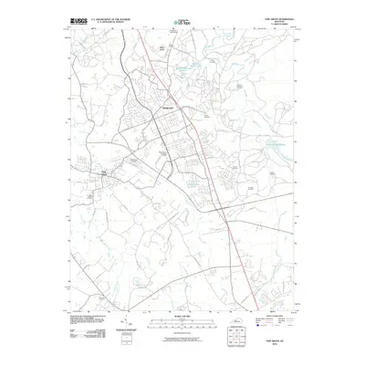
 - 2010 Map of Fort Knox, 2010 Print
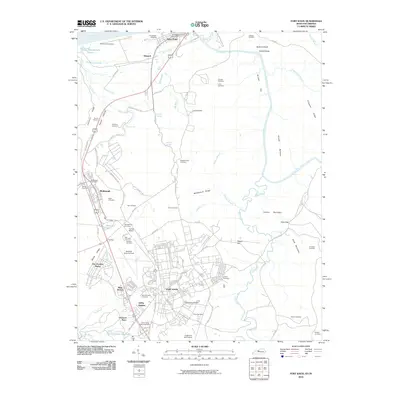 2010 Fort Knox2010 Print · USGSCovers Hardin County, including Louisville, Radcliff, and other nearby areas
 - 2011 Map of Kosmosdale, 2011 Print
 2011 Kosmosdale2011 Print · USGSCovers Hardin County, including Louisville, Elizabeth, and other nearby areas
 - 2013 Map of Vine Grove, 2013 Print
 2013 Vine Grove2013 Print · USGSCovers Hardin County, including Elizabethtown, Radcliff, and other nearby areas
 - 2013 Map of Nelsonville, 2013 Print
 2013 Nelsonville2013 Print · USGSCovers Hardin County, including Roanoke, Nelsonville, and other nearby areas
 - 2013 Map of Elizabethtown, 2013 Print
 2013 Elizabethtown2013 Print · USGSCovers Hardin County, including Elizabethtown, Indian Hills, and other nearby areas
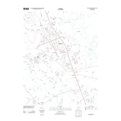
 - 2013 Map of Cecilia, 2013 Print
 2013 Cecilia2013 Print · USGSCovers Hardin County, including Elizabethtown, Radcliff, and other nearby areas
Showing maps 1-25 of 105
Top cities of Hardin County
- Elizabethtown historical maps
- Radcliff historical maps
- Vine Grove historical maps
- Rineyville historical maps
- Sonora historical maps
Frequently asked questions
- What are the different types of historical maps available for Hardin County?
- What is the oldest map of Hardin County?
- Where can I purchase historical maps of Hardin County for my home or office?
- Where can I download high-res historical maps of Hardin County?
- Are there historical topographic maps available for Hardin County?
- Is there historical aerial imagery available for Hardin County?
- Where are historical maps of Hardin County sourced from?