Old Maps of Booth, Kentucky for Metal Detecting
Plan your next treasure hunt with 14 historic maps of Booth. Find old homesites, ghost towns, trails, and gathering spots that may be lost to time — perfect for identifying promising metal detecting locations.
- Locate forgotten sites: Uncover places like long-lost settlements, abandoned rail lines, or gathering spots.
- Plan better hunts: Use map overlays combined with LiDAR or satellite views to narrow in on historically rich areas.
- Made for detectorists: Thousands of hobbyists use these maps to discover relics, coins, and hidden history.
Use these historic maps to boost your research and find new opportunities beneath the surface of Booth.
Booth, KY maps
(14)- 1936 Map of Vine Grove
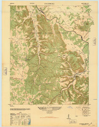
 1936 Vine Grove1936 Print · USGSHardin and Bullitt counties are shown here during a period of massive military expansion before the mid-century. Researchers can trace the development of Fort Knox alongside established communities like Vine Grove and old rural landmarks like Stovall Chapel or the Glenbeddis Sch.
 - 1943 Map of Vine Grove
 1943 Vine Grove1943 Print · USGSHardin and Meade Counties appear here during a period of massive mid-century growth at Fort Knox. Genealogists can trace family homesteads near landmarks like Stovall Chapel, Red Hill, and the many rural schools including Hays Sch and Deckard Sch.
 - 1946 Map of Colesburg
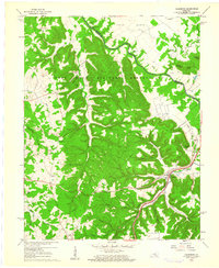
 1946 Colesburg1946 Print · USGSHardin and Bullitt Counties are shown at a transitional post-war moment when military activity and rural Kentucky life intersected. Researchers can locate the Fort Knox Military Reservation alongside older landmarks like Zion School and Mather Cem.
 - 1946 Map of Vine Grove, 1959 Print
 1946 Vine Grove1959 Print · USGSMid-century Hardin County is defined by the massive expansion of the Fort Knox Military Reservation and its surrounding rail-and-highway hubs. Researchers can trace dozens of family cemeteries and vanished landmarks like the Woolridge Ferry Bridge, Sherrard Sch, and the community of Pitts Point.
 - 1957 Map of Winchester, 1968 Print
 1957 Winchester1968 Print · USGSCentral Kentucky's landscape in the mid-twentieth century features the sprawling Fort Knox and the early parkway system. Genealogists and historians can trace rail lines like the Southern Railway and find landmarks from Bernheim Forest to Pilot Knob.3 unique versions available
 - 1960 Map of Winchester
 1960 Winchester1960 Print · USGSCentral Kentucky's diverse landscape is shown here at mid-century, from the bluegrass plains to the rugged Pottsville Escarpment. Genealogists and historians can trace the rail-and-river network connecting towns like Bardstown and Stanford alongside landmarks like Lake Cumberland.
 - 1960 Map of Colesburg, 1961 Print
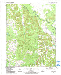
 1960 Colesburg1961 Print · USGSHardin and Bullitt counties are shown during the early 1960s as military and civilian landscapes converged along the Rolling Fork. Researchers can trace the path of the Louisville and Nashville Turnpike or locate family burial sites such as Sycamore Cem and Bowling Cem.3 unique versions available
 - 1981 Map of Elizabethtown, 1983 Print
 1981 Elizabethtown1983 Print · USGSCentral Kentucky in the early eighties shows a landscape of military installations, state parks, and historic sites. Genealogists and historians can trace rail lines like the Louisville and Nashville or locate sites like Lebanon National Cemetery and the Lincoln Memorial National Historic Site.
 - 1991 Map of Colesburg, 1992 Print
 1991 Colesburg1992 Print · USGSThe Fort Knox Military Reservation and the winding Rolling Fork define this area of Kentucky in the early nineties. Genealogists can trace numerous family burial sites including French Cem, Howlett Cem, and McMillen Cem near the settlement of Colesburg.
 - 2010 Map of Colesburg, 2010 Print
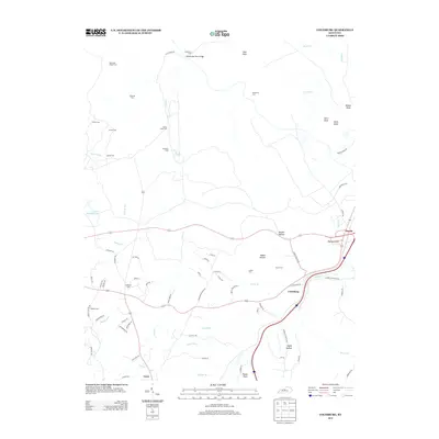
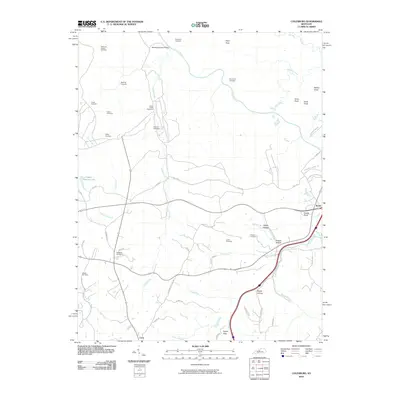 2010 Colesburg2010 Print · USGSCovers Booth, including Elizabethtown, Crest, and other nearby areas
 - 2013 Map of Colesburg, 2013 Print
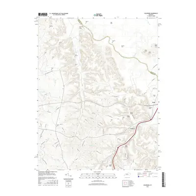
 2013 Colesburg2013 Print · USGSCovers Booth, including Elizabethtown, Crest, and other nearby areas
 - 2016 Map of Colesburg, 2016 Print
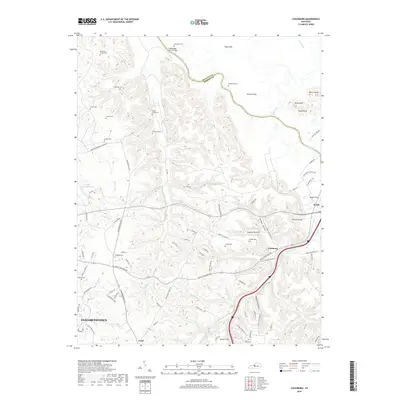
 2016 Colesburg2016 Print · USGSCovers Booth, including Elizabethtown, Crest, and other nearby areas
 - 2019 Map of Colesburg, 2019 Print
 2019 Colesburg2019 Print · USGSCovers Booth, including Elizabethtown, Crest, and other nearby areas
 - 2022 Map of Colesburg, 2022 Print
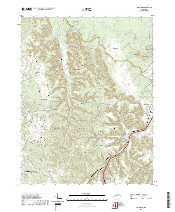 2022 Colesburg2022 Print · USGSSettled along the Bullitt and Hardin County line in the early 2020s, this area features a distinct mix of river flats and knobs. Genealogists can trace family landmarks like Cedar Creek Cem, Booth, and Stovall Cem Number 2.
End of results
Showing maps 1-14 of 14
Top cities near Booth
- Louisville historical maps
- Elizabethtown historical maps
- Radcliff historical maps
- Mount Washington historical maps
- Shepherdsville historical maps
- Hillview historical maps
See more
Frequently asked questions
- What are the different types of historical maps available for Booth?
- What is the oldest map of Booth?
- Where can I purchase historical maps of Booth for my home or office?
- Where can I download high-res historical maps of Booth?
- Are there historical topographic maps available for Booth?
- Is there historical aerial imagery available for Booth?
- Where are historical maps of Booth sourced from?