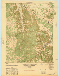
1946 Map of Colesburg
USGS Topo · Published 1946About this map
The Fort Knox Military Reservation dominates the landscape of this 1946 survey, illustrating the significant military footprint in the region following the war years. The terrain is characterized by a series of flats and knobs, such as Hays Flats and Bolten Knob, dissected by the winding Rolling Fork River. This period shows a community structure defined by rural anchors like Zion School and Cedar Creek Ch, alongside family-named sites including Mather Cem and Dougherty Cem.
Find a feature on this map
40 named features on this map. Tap any name to fly to it.
Don’t see what you’re looking for? This feature index may not catch every label — zoom into the map to look around manually.
Map Details
Editions of this 1946 Colesburg Map
This is the sole edition of this map. No revisions or reprints were ever made.
Other maps of this area
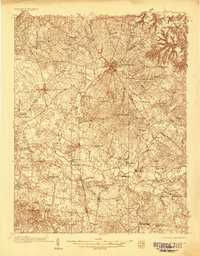
1935 · Elizabethtown
USGS Topo · 1:48,000
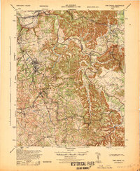
1936 · Vine Grove
USGS Topo · 1:62,500
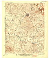
1938 · Elizabethtown
USGS Topo · 1:62,500
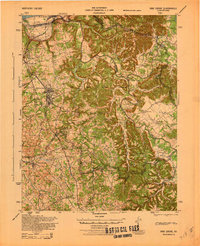
1943 · Vine Grove
USGS Topo · 1:62,500
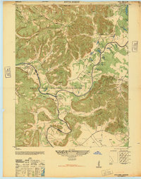
1946 · Pitts Point
USGS Topo · 1:24,000
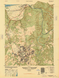
1946 · Fort Knox
USGS Topo · 1:24,000
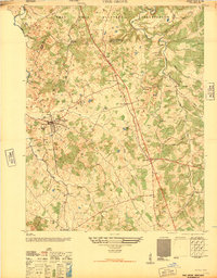
1946 · Vine Grove
USGS Topo · 1:24,000
1946 · Vine Grove
USGS Topo · 1:62,500
1948 · Cecilia
USGS Topo · 1:24,000
1949 · Elizabethtown
USGS Topo · 1:24,000