2000s (21st Century) Maps of Harlan County, Kentucky
Explore 95 historic maps of Harlan County from the 2000s (21st Century). These maps offer a rare glimpse into what life looked like during the 2000s — showing old roads, neighborhoods, homes, and landmarks that have changed or disappeared over time.
Whether you're researching your family's past, planning a metal detecting trip, or studying how Harlan County's landscape evolved across the 2000s, these high-resolution maps are a powerful tool for exploring the history of this region.
- Focus on a specific era: All maps on this page are from the 2000s, giving you a focused view of this time period.
- See what’s changed: Compare century-old streets, trails, and buildings to today's modern landscape using overlays and satellite layers.
- Research with precision: Use these maps for genealogy, historical research, land use analysis, or educational projects.
- View, download, or print: Maps are fully viewable online in high resolution, and can be downloaded or printed for your own records.
Start exploring Harlan County's history through authentic maps from the 2000s. This is your window into the past.
Harlan County, KY maps
(95)- 2010 Map of Harlan, 2010 Print
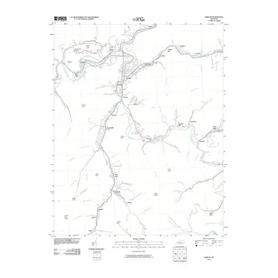 2010 Harlan2010 Print · USGSHarlan County's river valleys and coal communities are captured here in the early 2000s, showing the dense settlement patterns along the mountain forks. Researchers can trace family sites from Loyall to Mary Alice and locate landmarks like the Coalgood Post Office or Resthaven Cemetery.
 - 2010 Map of Balkan, 2010 Print
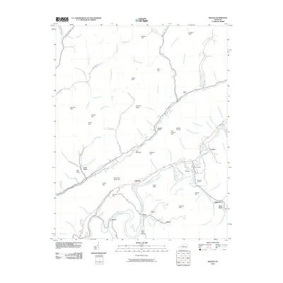 2010 Balkan2010 Print · USGSBell County’s river valleys and mountain gaps are documented here in the early twenty-first century as the landscape transitions from the riverbanks to the high ridges. Researchers can trace family sites at the Hulen Post Office, Tacket Hill Cemetery, and the community of Kettle Island.
 - 2010 Map of Wallins Creek, 2010 Print
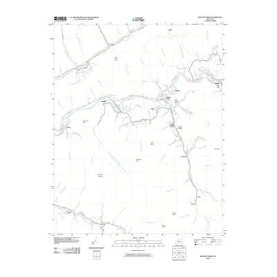 2010 Wallins Creek2010 Print · USGSHarlan County's river valleys and mountain gaps are captured here during the first decade of the 2000s. Genealogists can trace family connections through tightly packed settlements like Wallins Creek, Kentenia, and Twila, or locate the Dayhoit Post Office near the Cumberland River.
 - 2010 Map of Ewing, 2010 Print
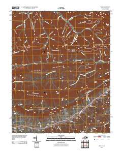 2010 Ewing2010 Print · USGSLee County, Virginia, and nearby Kentucky are shown here in the early twenty-first century as the traditional valley settlements maintain their historical footprints. Researchers can find numerous family-named sites such as Kesterson Mill, Caylor, and the Rowland Cemetery nestled between the ridges of Brush Mountain.
 - 2010 Map of Roxana, 2010 Print
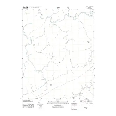 2010 Roxana2010 Print · USGSEastern Kentucky's high-country terrain is captured here in the first decade of the millennium, showing a landscape defined by deep valleys and rural outposts. Local historians can trace the paths of Line Fork and Kings Creek to locate Linefork and the storied Kingdom Come.
 - 2011 Map of Tilford, 2011 Print
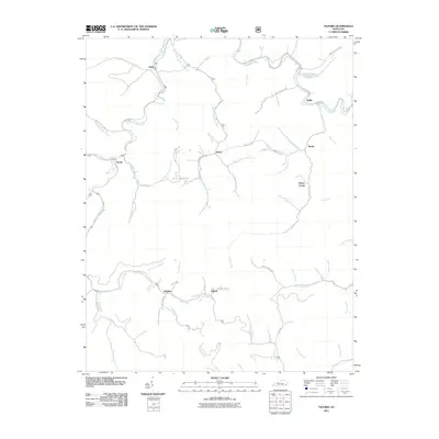 2011 Tilford2011 Print · USGSPerry County and the surrounding Kentucky hollows appear in high detail during this early 2000s survey. Genealogists and local historians can trace family locations near Slemp, the Riddle Bradley Cemetery, and the banks of Line Fork.
 - 2011 Map of Helton, 2011 Print
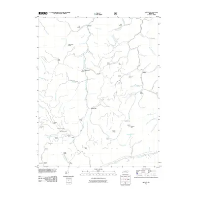 2011 Helton2011 Print · USGSLeslie County mountain life in the early 21st century centers on the narrow valleys of the Middle Fork Kentucky River. Genealogists and hikers can trace old family sites and mountain passes, including the War Branch Post Office, Honey Branch Cemetery, and Buck Gap.
 - 2011 Map of Nolansburg, 2011 Print
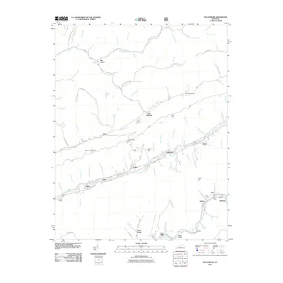 2011 Nolansburg2011 Print · USGSHarlan County's river valleys and mountain gaps are captured here during the early twenty-first century. Researchers can trace family history through sites like the Nolan Cemetery or locate old community hubs like the Lejunior Post Office and Nolansburg.
 - 2011 Map of Bledsoe, 2011 Print
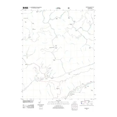 2011 Bledsoe2011 Print · USGSHarlan County's steep hollows and creek valleys are documented in the early twenty-first century, showing the enduring layout of mountain settlements. Genealogists can trace family lines across dozens of remote burial sites like Wilder Cemetery, Sergent Cemetery, and Holbrook Cemetery.
 - 2011 Map of Louellen, 2011 Print
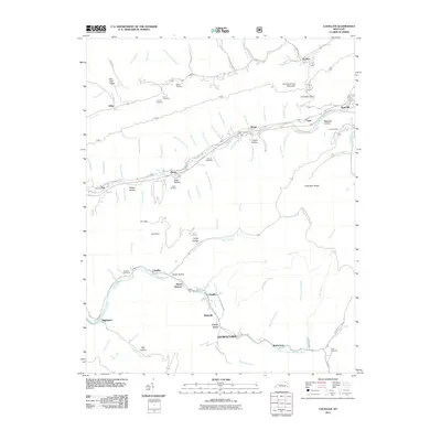 2011 Louellen2011 Print · USGSHarlan County’s rugged coal country is documented here in the early twenty-first century, showing the enduring settlements along the Poor Fork Cumberland River. Local researchers can trace family landmarks like the Robbins Cemetery and historic community sites at Highsplint and Closplint.
 - 2011 Map of Leatherwood, 2011 Print
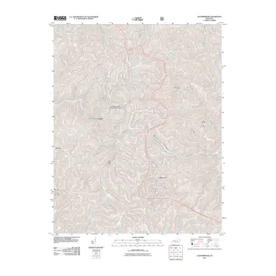 2011 Leatherwood2011 Print · USGSThe steep hollows of Perry County are shown in detail during the early twenty-first century, featuring the Daniel Boone National Forest. Researchers can trace old mountain routes like Yeaddis Rd and locate landmarks such as the Yeaddis Post Office and Leatherwood.
 - 2011 Map of Pennington Gap, 2011 Print
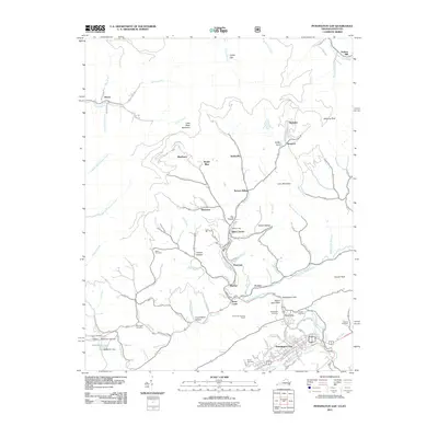 2011 Pennington Gap2011 Print · USGSPennington Gap and the North Fork Powell River valley appear in the early twenty-first century as a landscape shaped by coal and community. Researchers can trace family roots at Baker Cemetery or locate old rail points like Turners Siding and Bonny Blue.
 - 2011 Map of Keokee, 2011 Print
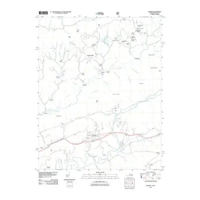 2011 Keokee2011 Print · USGSLee County and the Virginia-Kentucky borderlands are captured here in the early twenty-first century as the traditional coal and river economy persists. Researchers can trace family sites like Eden Cemetery and Ely Cemetery or locate historic river crossings at Stallard Ford.
 - 2011 Map of Appalachia, 2011 Print
 2011 Appalachia2011 Print · USGSBig Stone Gap and the surrounding coalfield hollows are captured here in the early twenty-first century. Researchers can trace the industrial rail lines serving the Exeter Mine or locate family sites at Andover Cemetery and Kilbourn Cemetery.
 - 2011 Map of Benham, 2011 Print
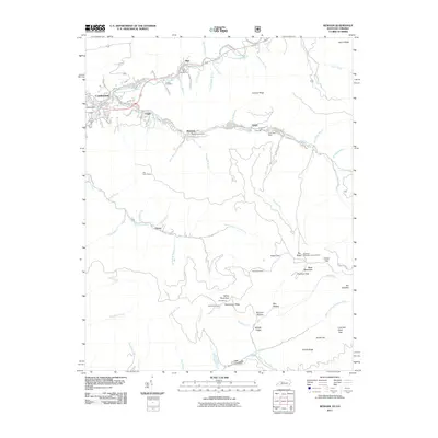 2011 Benham2011 Print · USGSHarlan County's coal heritage is on full display in this early 21st-century survey of the Black Mountain region. Researchers can trace historical mining operations at Portal 31 or locate ancestral sites like the Israel Blair Cemetery and Adams Cemetery.
 - 2011 Map of Rose Hill, 2011 Print
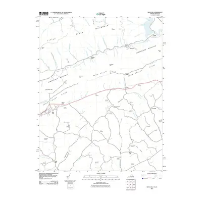 2011 Rose Hill2011 Print · USGSSpanning the Virginia and Kentucky borderlands, this survey documents the deeply carved ridges of Cumberland Mountain and the settled hollows of Lee County. Genealogists can locate family landmarks such as Crockett Cemetery, Boons Path, and the site of Edds Mill.
 - 2011 Map of Hubbard Springs, 2011 Print
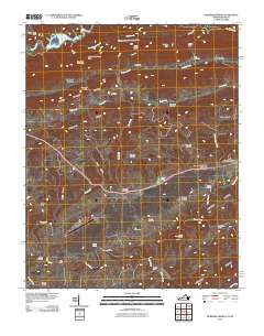 2011 Hubbard Springs2011 Print · USGSLee County, Virginia, is captured here in the early twenty-first century, showing a landscape of deep ridges and river bends. Family historians can locate dozens of burial sites like the Wynn Cemetery and landmarks such as Hubbard Springs and the Natural Bridge.
 - 2011 Map of Varilla, 2011 Print
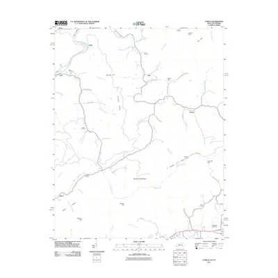 2011 Varilla2011 Print · USGSBell County, Kentucky, is shown here in the early twenty-first century as a landscape of steep ridges and tucked-away mountain settlements. Researchers can trace family sites at Buell Cemetery or follow historic routes along the Cumberland River and Hensley Settlement Rd.
 - 2011 Map of Evarts, 2011 Print
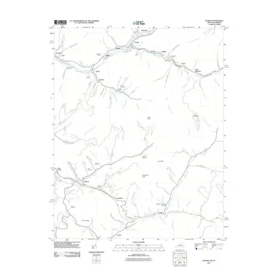 2011 Evarts2011 Print · USGSThe Clover Fork valley in the early twenty-first century shows a landscape of clustered mining and river towns. Genealogists can locate numerous burial sites such as Cawood Cemetery and Field Cemetery alongside settlements like Kildav and Ten Spot.
 - 2013 Map of Tilford, 2013 Print
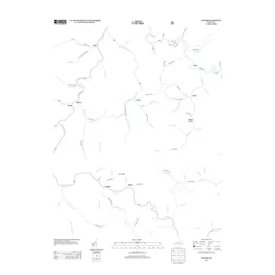 2013 Tilford2013 Print · USGSSettlements along the hollows of Perry County are documented here during the early twenty-first century. Researchers can trace family-named landmarks and mountain hamlets such as Tilford, Slemp, and Jewell Ridge along the banks of Leatherwood Cr.
 - 2013 Map of Leatherwood, 2013 Print
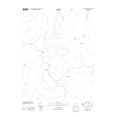 2013 Leatherwood2013 Print · USGSThe headwaters of Perry County are documented here in the early 2000s, showing the intricate network of Kentucky hollows and creek-side settlements. Genealogists and local historians can trace the paths between Yeaddiss, Big Rock, and Leatherwood along the winding Cutshin Cr.
 - 2013 Map of Harlan, 2013 Print
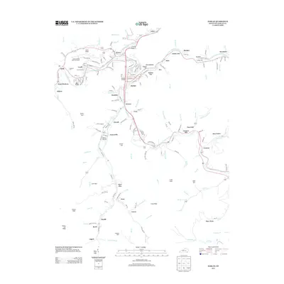 2013 Harlan2013 Print · USGSHarlan County's coal country is captured in the early 2010s at the confluence of the three forks of the Cumberland River. Genealogists and local historians can trace family-named sites from Ranson Hollow to Black Bottom and the historic Farmers Mill.
 - 2013 Map of Varilla, 2013 Print
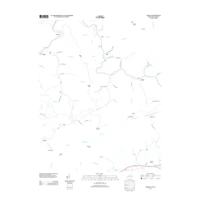 2013 Varilla2013 Print · USGSThe rugged borderlands of Kentucky and Virginia are documented here in the early twenty-first century, showing a landscape of deep hollows and high ridges. Genealogists can locate numerous family burial sites like Miracle Cem and Hensley Cem, or trace the winding paths to Hensley Flats and Wheeler Hollow.
 - 2013 Map of Balkan, 2013 Print
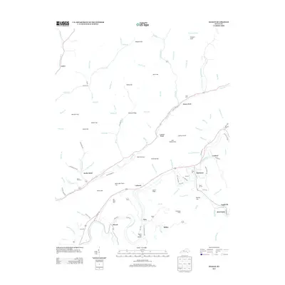 2013 Balkan2013 Print · USGSBell County’s rugged valley settlements and gap crossings are captured here in the early twenty-first century. Researchers can trace family history through numerous mountain cemeteries and named hollows like Kettle Island Cem, Board Tree Hollow, and Blackmont.
 - 2013 Map of Nolansburg, 2013 Print
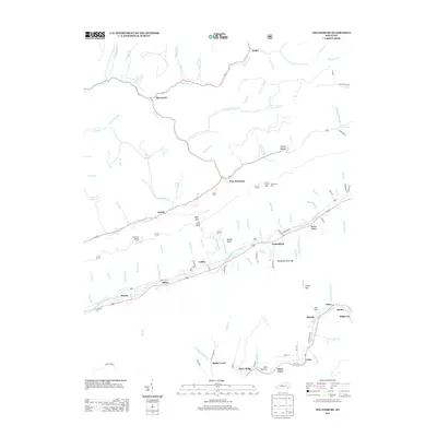 2013 Nolansburg2013 Print · USGSSoutheastern Kentucky's mountain hollows and river forks are captured here in the early twenty-first century. Researchers can trace the communities of Nolansburg and Putney or locate local landmarks like the Beschman Lookout Tower and Nolan Cem.
Showing maps 1-25 of 95
Top cities of Harlan County
- Cumberland historical maps
- Harlan historical maps
- Evarts historical maps
- Lynch historical maps
- Loyall historical maps
- Benham historical maps
See more
Frequently asked questions
- What are the different types of historical maps available for Harlan County?
- What is the oldest map of Harlan County?
- Where can I purchase historical maps of Harlan County for my home or office?
- Where can I download high-res historical maps of Harlan County?
- Are there historical topographic maps available for Harlan County?
- Is there historical aerial imagery available for Harlan County?
- Where are historical maps of Harlan County sourced from?