2020s Maps of Harlan County, Kentucky
Explore 19 historic maps of Harlan County from the 2020s. These maps offer a rare glimpse into what life looked like during the 2020s — showing old roads, neighborhoods, homes, and landmarks that have changed or disappeared over time.
Whether you're researching your family's past, planning a metal detecting trip, or studying how Harlan County's landscape evolved across the 2020s, these high-resolution maps are a powerful tool for exploring the history of this region.
- Focus on a specific era: All maps on this page are from the 2020s, giving you a focused view of this time period.
- See what’s changed: Compare century-old streets, trails, and buildings to today's modern landscape using overlays and satellite layers.
- Research with precision: Use these maps for genealogy, historical research, land use analysis, or educational projects.
- View, download, or print: Maps are fully viewable online in high resolution, and can be downloaded or printed for your own records.
Start exploring Harlan County's history through authentic maps from the 2020s. This is your window into the past.
Harlan County, KY maps
(19)- 2022 Map of Harlan, 2022 Print
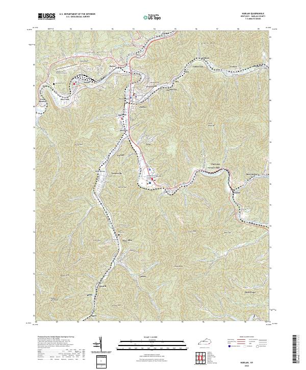 2022 Harlan2022 Print · USGSHarlan County's river-carved valleys and steep ridges are shown here in modern detail, capturing the dense settlement patterns of the Kentucky coalfields. Genealogists and local historians can trace family sites at Resthaven Cemetery or explore the community layouts of Chevrolet, Loyall, and Grays Knob.
 - 2022 Map of Benham, 2022 Print
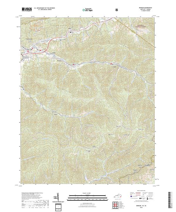 2022 Benham2022 Print · USGSSettled deep in the Appalachians, this Harlan County region shows the coal-country towns of Benham and Lynch in the early 2020s. Researchers can locate family landmarks like Blair Cem and Adams Cem or trace the Poor Fork Cumberland River.
 - 2022 Map of Evarts, 2022 Print
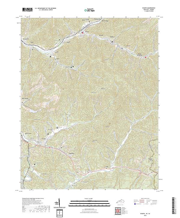 2022 Evarts2022 Print · USGSAppalachian mining settlements and family cemeteries line the deep hollows of Harlan County in the 2020s. Genealogists can trace lineage through sites like Middleton Cem or Slack Cem while exploring the rail-linked coal towns of Evarts and Kenvir.
 - 2022 Map of Roxana, 2022 Print
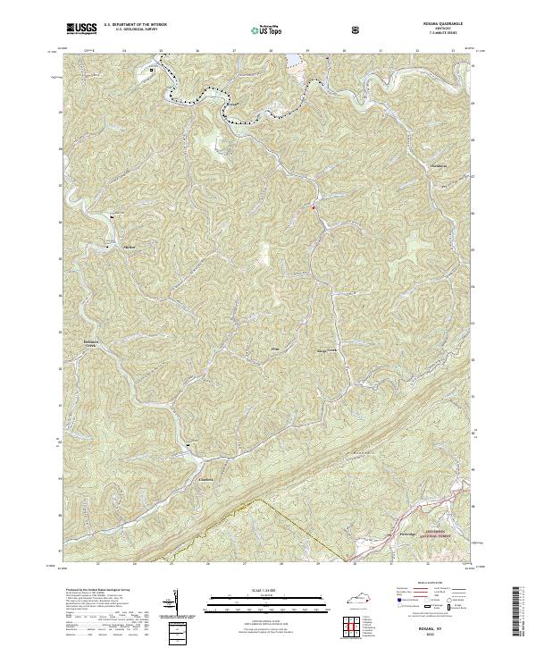 2022 Roxana2022 Print · USGSLetcher County's steep ridges and coal country are detailed here in the 2020s, showing the intersection of deep mountain hollows and local industry. Genealogists can locate several family burial grounds like the Isom Cem and Cornetts Cem near the Line Fork waters.
 - 2022 Map of Bledsoe, 2022 Print
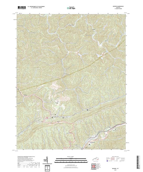 2022 Bledsoe2022 Print · USGSHarlan County's steep ridges and family hollows are captured here in the early twenty-first century. Genealogists and local historians can trace family landmarks and burial sites like Huff Cem, Sergent Cem, and the community of Bledsoe.
 - 2022 Map of Balkan, 2022 Print
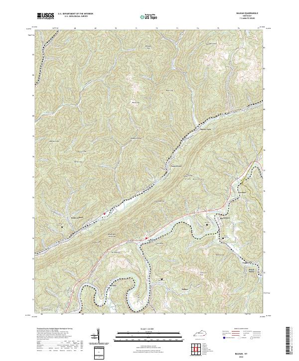 2022 Balkan2022 Print · USGSBell County communities follow the winding Cumberland River and Stoney Fork in this recent survey. Researchers can locate family landmarks like Blind John Taylor Gap and historic burial sites such as Tacket Hill Cem and Balkan Cem.
 - 2022 Map of Pennington Gap, 2022 Print
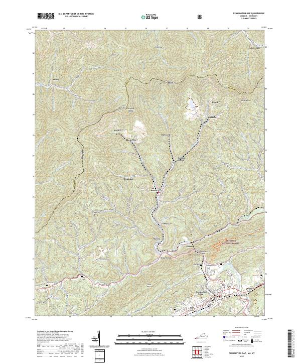 2022 Pennington Gap2022 Print · USGSPennington Gap and the surrounding Appalachian coalfields are detailed in this 2022 survey of the Virginia and Kentucky border. Genealogists and historians can locate family burial sites like Baker Cem and Napier Cem or trace settlements like St. Charles and Benedict.
 - 2022 Map of Wallins Creek, 2022 Print
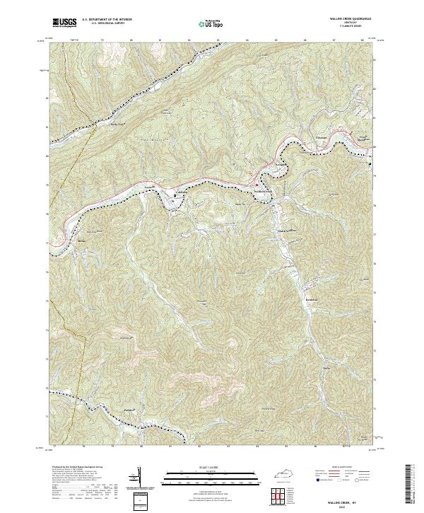 2022 Wallins Creek2022 Print · USGSThe Harlan County coalfields come into sharp focus in this recent survey of the Cumberland River valley. Genealogists and local historians can trace family locations through Coldiron Cem, explore the winding Old Pike Hwy, and locate communities from Pathfork to Wallins Creek.
 - 2022 Map of Nolansburg, 2022 Print
 2022 Nolansburg2022 Print · USGSHarlan County's coal-country river valleys are caught in high detail during the early 2020s, showing the dense settlements along the Poor Fork Cumberland River. Local historians can trace family roots at Nolan Cem and locate communities like Nolansburg and Highsplint.
 - 2022 Map of Ewing, 2022 Print
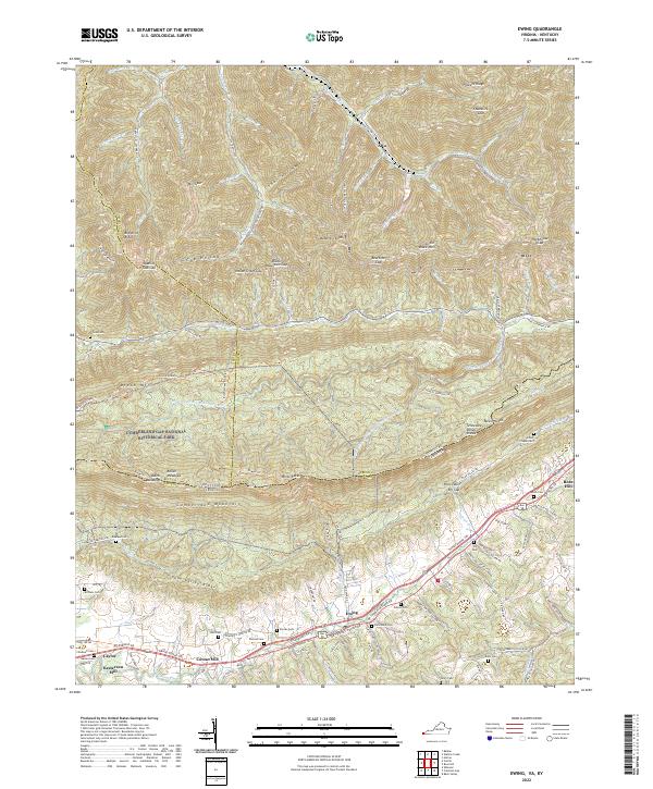 2022 Ewing2022 Print · USGSSettled along the historic Wilderness Road in southwestern Virginia, this area features the dramatic ridges of Cumberland Mountain. Genealogists can trace family landmarks like Chadwell Station Rd and sites like Kesterson Mill or Arthur Chapel Cem.
 - 2022 Map of Appalachia, 2022 Print
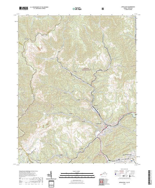 2022 Appalachia2022 Print · USGSWise County's coal towns and mountain ridges are documented here during the early twenty-first century. Genealogists and historians can trace family roots through settlements like Inman, Osaka, and Imboden, or locate burials at Andover Cemetery.
 - 2022 Map of Keokee, 2022 Print
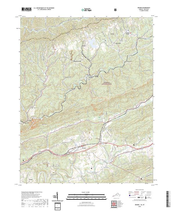 2022 Keokee2022 Print · USGSThe high ridges and deep hollows of the Kentucky-Virginia border define this corner of Lee County in the early 2020s. Researchers can trace family burial sites like Eden Cem and Baker Cem or locate valley communities such as Keokee, Rawhide, and Dryden.
 - 2022 Map of Helton, 2022 Print
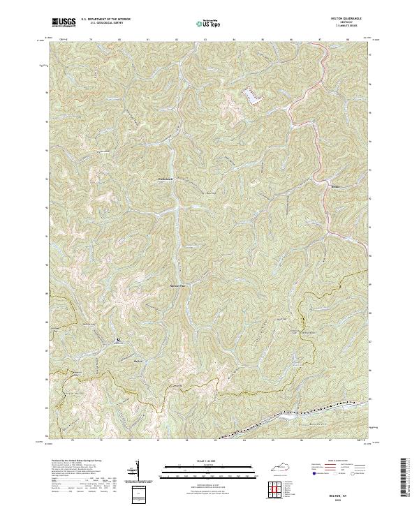 2022 Helton2022 Print · USGSLeslie County mountain life centers on the valleys of the Middle Fork Kentucky River in the early 2020s. Researchers can locate family landmarks such as Honey Branch Cem and trace the paths through Saylor, Warbranch, and Spruce Pine.
 - 2022 Map of Hubbard Springs, 2022 Print
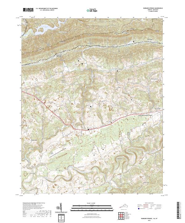 2022 Hubbard Springs2022 Print · USGSLee County, Virginia, is shown here in the 2020s, where the historic Daniel Boone Trl meets the waters of the Powell River. Genealogists and local historians can trace family sites like Noe Cem, Bethel Church, and the old settlement at Hubbard Springs.
 - 2022 Map of Varilla, 2022 Print
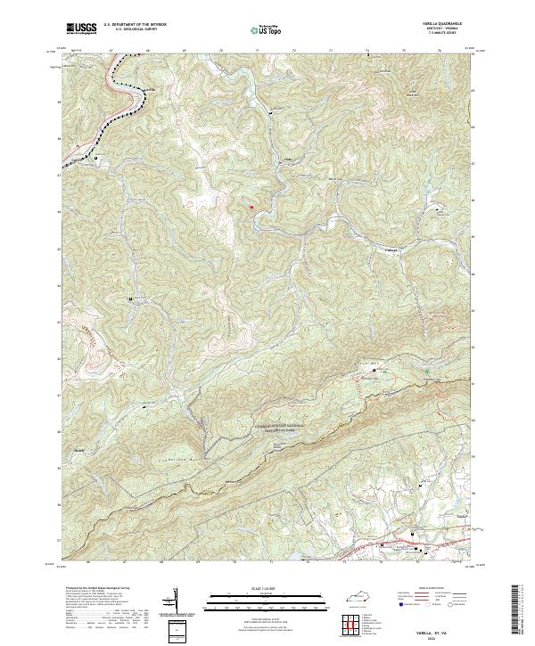 2022 Varilla2022 Print · USGSModern topography meets deep Appalachian heritage in this recent survey of the Kentucky-Virginia border. Genealogists can trace family footprints at Hensley Flats, the Wilder - Hensley Cem, and the Elydale Primitive Baptist Church Cem.
 - 2022 Map of Louellen, 2022 Print
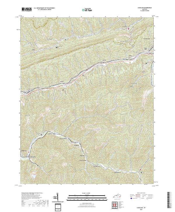 2022 Louellen2022 Print · USGSHarlan County's steep ridges and coal-valley settlements are documented here in the early twenty-first century. Researchers can trace family-named sites and mountain crossings like Robbins Cem, Hurricane Gap, and the community of Louellen.
 - 2022 Map of Rose Hill, 2022 Print
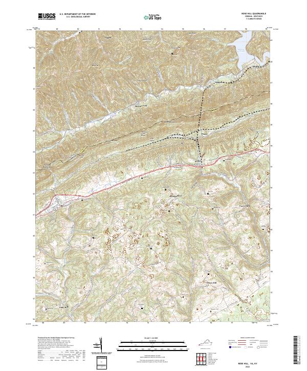 2022 Rose Hill2022 Print · USGSThe Virginia and Kentucky borderlands come alive on this 2022 survey, tracing the high ridges of Cumberland Mountain. Local historians can locate ancestral sites like Shackelford Cem or trace the historic path of the Daniel Boone Trl through Henegartown.
 - 2022 Map of Tilford, 2022 Print
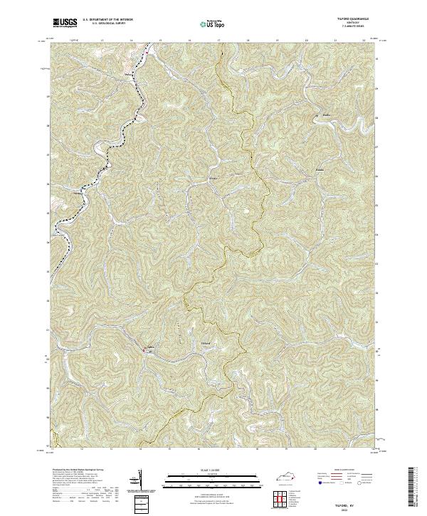 2022 Tilford2022 Print · USGSDeep in the mountains of Perry County, this map shows a region of narrow hollows and high ridges during the 2020s. Genealogists and historians can trace family locations near Slemp, find the Riddle Bradley Cemetery, or follow the winding Leatherwood Creek.
 - 2022 Map of Leatherwood, 2022 Print
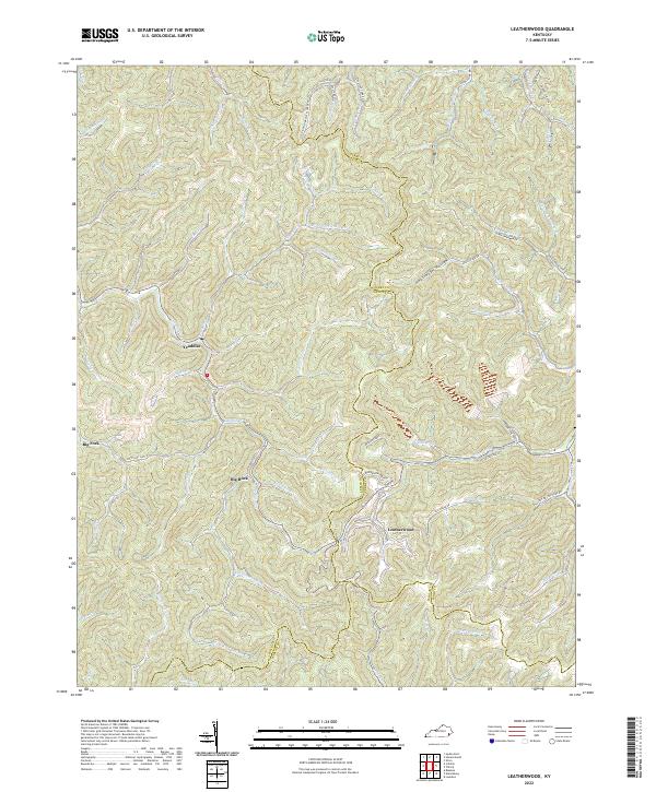 2022 Leatherwood2022 Print · USGSIn the heart of the Kentucky mountains, this 2022 survey captures the enduring settlement patterns of the Leslie and Perry county line. Researchers can trace family roots through sites like Moore Cemetery or follow the winding Cutshin Cr through Leatherwood.
End of results
Showing maps 1-19 of 19
Top cities of Harlan County
- Cumberland historical maps
- Harlan historical maps
- Evarts historical maps
- Lynch historical maps
- Loyall historical maps
- Benham historical maps
See more
Frequently asked questions
- What are the different types of historical maps available for Harlan County?
- What is the oldest map of Harlan County?
- Where can I purchase historical maps of Harlan County for my home or office?
- Where can I download high-res historical maps of Harlan County?
- Are there historical topographic maps available for Harlan County?
- Is there historical aerial imagery available for Harlan County?
- Where are historical maps of Harlan County sourced from?