2010s Maps of Henderson County, Kentucky
Explore 68 historic maps of Henderson County from the 2010s. These maps offer a rare glimpse into what life looked like during the 2010s — showing old roads, neighborhoods, homes, and landmarks that have changed or disappeared over time.
Whether you're researching your family's past, planning a metal detecting trip, or studying how Henderson County's landscape evolved across the 2010s, these high-resolution maps are a powerful tool for exploring the history of this region.
- Focus on a specific era: All maps on this page are from the 2010s, giving you a focused view of this time period.
- See what’s changed: Compare century-old streets, trails, and buildings to today's modern landscape using overlays and satellite layers.
- Research with precision: Use these maps for genealogy, historical research, land use analysis, or educational projects.
- View, download, or print: Maps are fully viewable online in high resolution, and can be downloaded or printed for your own records.
Start exploring Henderson County's history through authentic maps from the 2010s. This is your window into the past.
Henderson County, KY maps
(68)- 2010 Map of Delaware, 2010 Print
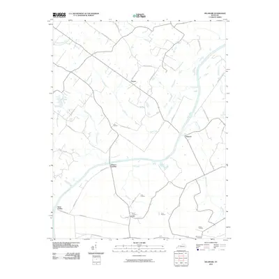 2010 Delaware2010 Print · USGSThe Green River bends through McLean County at the start of the millennium, anchoring a landscape of family farms and river landings. Genealogists can trace local history through Nunn Cemetery, Rangers Landing, and the community of Comer.
 - 2010 Map of Waverly, 2010 Print
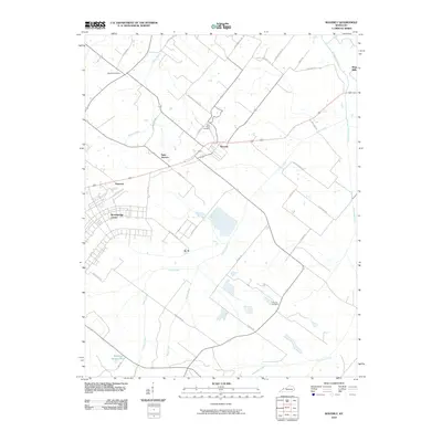 2010 Waverly2010 Print · USGSUnion County at the turn of the decade shows a landscape shaped by rural tradition and expanding institutional centers. Researchers can trace family-named roads to historic burial sites like McClure Cemetery or locate the sprawling Breckinridge Center and the community of Waverly.
 - 2010 Map of Curdsville, 2010 Print
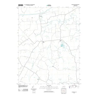 2010 Curdsville2010 Print · USGSMcLean County agricultural lands and river bottoms are documented here in the early twenty-first century. Genealogists can trace family connections at the Old Macedonia Cemetery or McCain Cemetery and locate homes near Saint Joseph and Wyman.
 - 2010 Map of Spottsville, 2010 Print
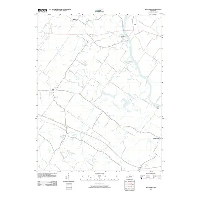 2010 Spottsville2010 Print · USGSHenderson County river life and rural road networks are documented here during the early twenty-first century. Researchers can trace the legacy of family estates and former ferry crossings through labels like Alves Ferry Rd, Spottsville, and Hatchett Mill Rd.
 - 2010 Map of Poole, 2010 Print
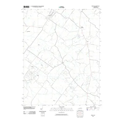 2010 Poole2010 Print · USGSHenderson County's rural landscape is captured here in the early 2000s, centered on the historic community of Corydon. Genealogists can locate family-named landmarks and burial sites like Hughes Cemetery, Tapp Cemetery, and the small settlement of Dixie.
 - 2010 Map of Robards, 2010 Print
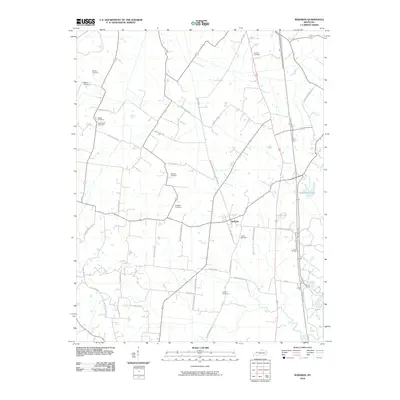 2010 Robards2010 Print · USGSHenderson County, Kentucky, is shown here as a patchwork of family homesteads and rural crossroads in the early twenty-first century. Genealogists can locate numerous local burial sites like Spencer Cemetery and McMullin Cemetery or trace old routes like Busby Station Rd.
 - 2010 Map of Henderson, 2010 Print
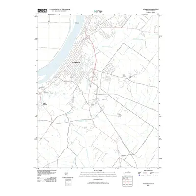 2010 Henderson2010 Print · USGSHenderson and the south bank of the Ohio River appear in great detail during the early twenty-first century. Researchers can trace genealogical sites like Fernwood Cemetery and Mount Zion Cemetery or locate outlying areas such as Anthoston and Finley Addition.
 - 2010 Map of Reed, 2010 Print
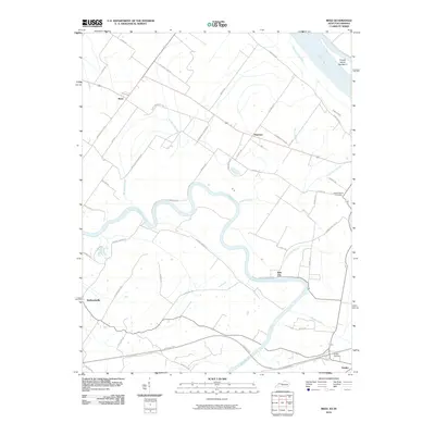 2010 Reed2010 Print · USGSThe confluence of the Ohio and Green Rivers comes into focus during the early twenty-first century. Genealogists and local historians can trace family-named roads and landmarks like Saint Peters Cemetery, Birk City, and the riverfront at French Island Number 2.
 - 2010 Map of Yankeetown, 2010 Print
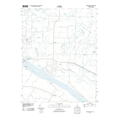 2010 Yankeetown2010 Print · USGSThe Indiana riverfront near Yankeetown appears in this 2010 survey just as the rural landscape of Warrick County maintained its traditional character. Family historians can locate Hedge Cemetery and trace the river economy at Vanada Landing or U S Dam Number Four.
 - 2010 Map of Mount Vernon, 2010 Print
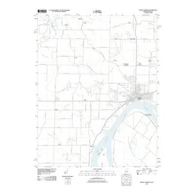 2010 Mount Vernon2010 Print · USGSThe Ohio River bank at Mount Vernon and the rural Posey County interior are captured here in the early 21st century. Researchers can locate numerous family burial sites like Alldredge Cemetery and trace the local geography from Dead Mans Crossing to Grassy Pond.
 - 2010 Map of Caborn, 2010 Print
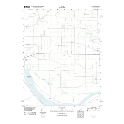 2010 Caborn2010 Print · USGSPosey County's riverfront and rural uplands are documented here in the early twenty-first century, showing the intersection of river life and agricultural industry. Researchers can locate Saint Johns Cemetery, trace the path of Cypress Slough, and explore settlements like Caborn and Marrs Center.
 - 2010 Map of Newburgh, 2010 Print
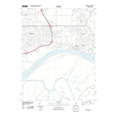 2010 Newburgh2010 Print · USGSThe Indiana-Kentucky borderlands come into sharp focus during this period of suburban growth along the Ohio River. Researchers can trace the proximity of Evansville to historic sites like Camp Brosend and numerous burial grounds including Park Lawn Cemetery.
 - 2010 Map of Smith Mills, 2010 Print
 2010 Smith Mills2010 Print · USGSHenderson County, Kentucky, is documented here in the early twenty-first century as a landscape of river-fed bottomlands and rural crossroads. Genealogists and local historians can trace family-named sites like Smith Mills Cemetery, Hitesville, and Burbanks Cemetery.
 - 2010 Map of West Franklin, 2010 Print
 2010 West Franklin2010 Print · USGSThe Indiana-Kentucky borderlands along the Ohio River appear here in the early twenty-first century as suburban expansion meets rural bottomlands. Genealogists can locate family-named sites like Tupman Cemetery, Philip Station, and the historic settlement of West Franklin.
 - 2010 Map of Wilson, 2010 Print
 2010 Wilson2010 Print · USGSNear the Ohio River in the early twenty-first century, this region shows a detailed landscape of ridges, sloughs, and rural crossroads. Genealogists can locate family landmarks like Stroud Cemetery and Clay Cemetery or trace the environs of Geneva and Wilson.
 - 2010 Map of Evansville South, 2010 Print
 2010 Evansville South2010 Print · USGSThe riverfronts of Evansville and Henderson meet at this broad bend of the Ohio River in the early 2000s. Genealogists and historians can map out urban neighborhoods, family plots at Oak Hill Cemetery, or the rural reaches of Green River Island.
 - 2011 Map of Uniontown, 2011 Print
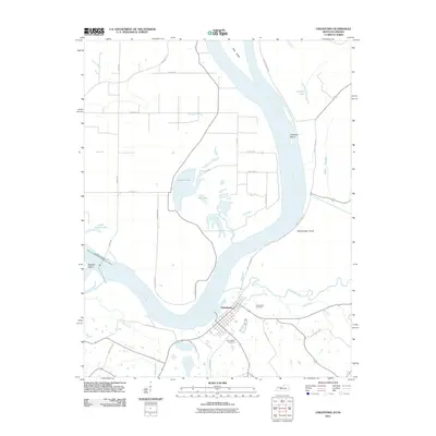 2011 Uniontown2011 Print · USGSThe Ohio River dominates this river-bottom landscape at the turn of the decade, showing the town and its surrounding wetlands. Genealogists can trace family sites near Uniontown Cemetery or follow local history along Union Ferry Rd and Hamilton Mine Rd.
 - 2013 Map of Spottsville, 2013 Print
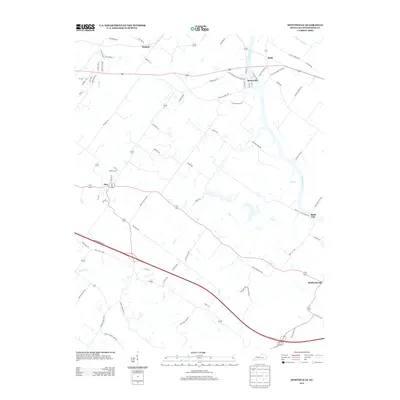 2013 Spottsville2013 Print · USGSHenderson County river life and rural crossroads are preserved here in the early twenty-first century. Genealogists and local historians can trace family-named routes and small communities from Spottsville and Baskett to the banks of the Green River.
 - 2013 Map of Henderson, 2013 Print
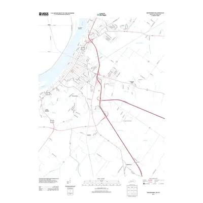 2013 Henderson2013 Print · USGSThe Kentucky-Indiana border along the Ohio River comes to life in this early twenty-first-century survey. Trace local lineage and land use through the growth of Weaverton, the layout of Flying H Farms Airport, and the drainage of Elam Ditch.
 - 2013 Map of Curdsville, 2013 Print
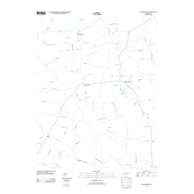 2013 Curdsville2013 Print · USGSNorthern Kentucky river life and rural creek-side settlements are captured here in the early twenty-first century. Researchers can trace land tracts along Knoblick Cr or locate properties near Curdsville and Saint Joseph.
 - 2013 Map of Robards, 2013 Print
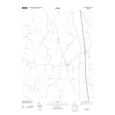 2013 Robards2013 Print · USGSRobards and the surrounding Henderson County countryside are documented here in the early twenty-first century. Genealogists and local historians can trace family land via Win Royster Rd and Dick Smith Rd, or explore landmarks like Sportsman Lake and Coal Mine Rd.
 - 2013 Map of Poole, 2013 Print
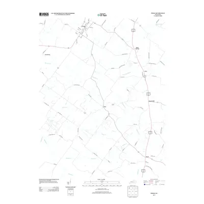 2013 Poole2013 Print · USGSHenderson County's rural heartland is documented here in the early 2010s, showing the agricultural grids and creek-side settlements of West Kentucky. Genealogists and historians can trace family-named routes like Lod Powell Rd and Jane Posey Rd through Corydon, Dixie, and Poole.
 - 2013 Map of Reed, 2013 Print
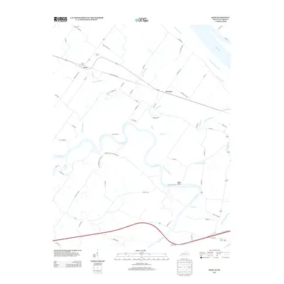 2013 Reed2013 Print · USGSIn the fertile bottomlands along the Henderson County border, this 2013 survey shows a landscape defined by river bends and agricultural drainage. Genealogists can trace family connections near Reed, Newman, and along the banks of Richland Slough and the Green River.
 - 2013 Map of Smith Mills, 2013 Print
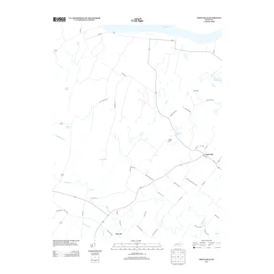 2013 Smith Mills2013 Print · USGSHenderson County's riverfront and rural interior are mapped here in the early twenty-first century as they border the Ohio River. Researchers can trace old family routes and land patterns near Smith Mills and Hitesville, or locate landmarks like Mill Pond and the Cabell Hills.
 - 2013 Map of Delaware, 2013 Print
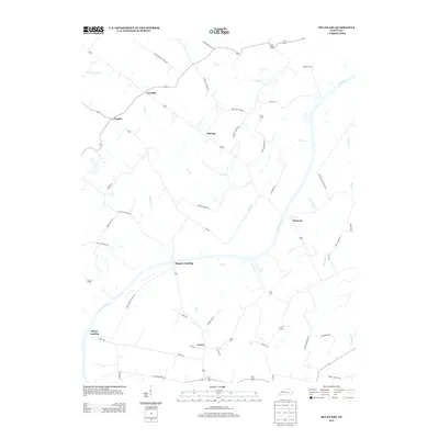 2013 Delaware2013 Print · USGSMcLean County is defined by the winding Green River and its rural landings in this 2010s survey. Genealogists and local historians can trace family-named landmarks and old river access points like Quinn Landing, Delaware, and Rangers Landing.
Showing maps 1-25 of 68
Top cities of Henderson County
Frequently asked questions
- What are the different types of historical maps available for Henderson County?
- What is the oldest map of Henderson County?
- Where can I purchase historical maps of Henderson County for my home or office?
- Where can I download high-res historical maps of Henderson County?
- Are there historical topographic maps available for Henderson County?
- Is there historical aerial imagery available for Henderson County?
- Where are historical maps of Henderson County sourced from?