Old Maps of Robards, Kentucky for Genealogy
Trace your family roots with 14 historic maps of Robards. These high-res maps reveal old neighborhoods, homesites, landmarks, and streets — helping you uncover where your ancestors lived and how the area evolved over time.
- Explore historic neighborhoods: Identify where your relatives may have lived in the 1800s or 1900s.
- Compare maps over time: Trace the changes in streets, buildings, and landmarks for multi-generational research.
- Perfect for genealogy & ancestry research: Used by family historians and researchers to map out lineage and migration.
These maps are an incredible resource for exploring your personal connection to Robards's past.
Robards, KY maps
(14)- 1906 Map of Sebree
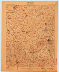 1906 Sebree1906 Print · USGSWestern Kentucky at the dawn of the twentieth century was a landscape of rail-connected towns and crossroads hamlets. Genealogists can trace family footprints near Sebree and Dixon, or locate vanished schoolhouses and churches like Oakland Schoolhouse and Mt Pleasant Church.3 unique versions available
 - 1949 Map of Robards, 1967 Print
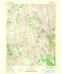
 1949 Robards1967 Print · USGSRobards was a busy railroad and petroleum hub in the late 1940s, marking the border of Henderson and Webster Counties. Genealogists can trace family burial sites like Denton Cem and rural landmarks such as McMullin Chapel near the sprawling Oil Field.
 - 1951 Map of Robards
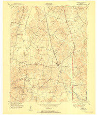 1951 Robards1951 Print · USGSRobards sits at a critical rail and river junction south of the Ohio River during the early postwar years. Genealogists and local researchers can trace a dense network of family burial sites like Denton Cem and Smith Cem, or locate the mid-century Oil Fields.
 - 1954 Map of Evansville
 1954 Evansville1954 Print · USGSThe Ohio River borderlands between Indiana and Kentucky appear here during a period of robust industrial and military growth. Genealogists and researchers can trace the rail corridors of the Illinois Central and find landmarks like US Lock and Dam No 48 or Camp Breckinridge.
 - 1957 Map of Evansville, 1969 Print
 1957 Evansville1969 Print · USGSIndiana and Kentucky meet along the Ohio River in this mid-century survey of a vital industrial and transport corridor. Genealogists and historians can trace the development of river towns like Owensboro and Newburgh or locate old rail lines like the Southern Ry.3 unique versions available
 - 1961 Map of Evansville
 1961 Evansville1961 Print · USGSThe Ohio River valley and its surrounding coalfields are captured here during the late fifties and early sixties. Trace the industrial rail networks of the Illinois Central RR and explore regional landmarks like Mammoth Cave National Park and Angel Mounds State Memorial.2 unique versions available
 - 1969 Map of Robards, 1971 Print
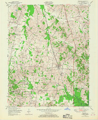
 1969 Robards1971 Print · USGSHenderson County is shown in transition during the late sixties as traditional family farmsteads meet an expanding oil and coal economy. Genealogists can trace family names through landmarks like Mount Zion Cem, Niagara Sch, and Cherry Hill Ch.2 unique versions available
 - 1986 Map of Evansville
 1986 Evansville1986 Print · USGSThe Ohio River valley thrives in the mid-1980s as a hub of river commerce, industry, and natural preservation spanning the Indiana-Kentucky border. Genealogists and historians can locate remote landmarks like Dead Mans Cem, Lippe Church, and the riverside community of Scuffletown.
 - 1991 Map of Evansville
 1991 Evansville1991 Print · USGSThe tri-state region of Indiana and Kentucky was a hub of river commerce and rail transport in the early nineties. Researchers can trace the industrial corridor between Evansville and Owensboro, locating landmarks like Angel Mounds State Memorial and the Seaboard System railroad.
 - 2010 Map of Robards, 2010 Print
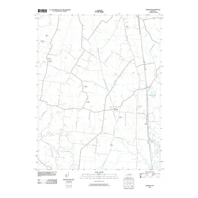 2010 Robards2010 Print · USGSCovers Robards, including Webster County, Henderson County, and other nearby areas
 - 2013 Map of Robards, 2013 Print
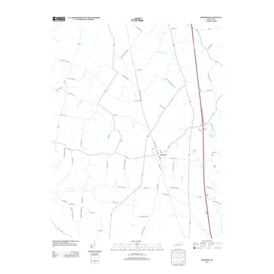 2013 Robards2013 Print · USGSCovers Robards, including Webster County, Henderson County, and other nearby areas
 - 2016 Map of Robards, 2016 Print
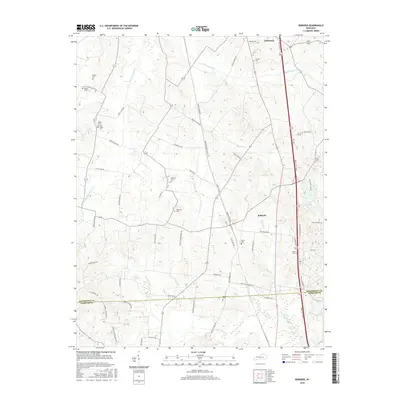 2016 Robards2016 Print · USGSCovers Robards, including Webster County, Henderson County, and other nearby areas
 - 2019 Map of Robards, 2019 Print
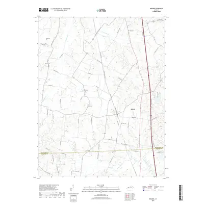 2019 Robards2019 Print · USGSCovers Robards, including Webster County, Henderson County, and other nearby areas
 - 2022 Map of Robards, 2022 Print
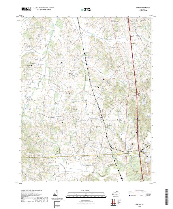 2022 Robards2022 Print · USGSThe Henderson and Webster County border comes alive in this modern survey of Kentucky farmland. Genealogists can trace family footprints through the Gish Family Cem Number 2, Old Salem Cem, and Hunter Cem near the town of Robards.
End of results
Showing maps 1-14 of 14
Top cities near Robards
- Henderson historical maps
- Sebree historical maps
- Corydon historical maps
- Dixon historical maps
- Slaughters historical maps
Frequently asked questions
- What are the different types of historical maps available for Robards?
- What is the oldest map of Robards?
- Where can I purchase historical maps of Robards for my home or office?
- Where can I download high-res historical maps of Robards?
- Are there historical topographic maps available for Robards?
- Is there historical aerial imagery available for Robards?
- Where are historical maps of Robards sourced from?