2010s Maps of Knott County, Kentucky
Explore 60 historic maps of Knott County from the 2010s. These maps offer a rare glimpse into what life looked like during the 2010s — showing old roads, neighborhoods, homes, and landmarks that have changed or disappeared over time.
Whether you're researching your family's past, planning a metal detecting trip, or studying how Knott County's landscape evolved across the 2010s, these high-resolution maps are a powerful tool for exploring the history of this region.
- Focus on a specific era: All maps on this page are from the 2010s, giving you a focused view of this time period.
- See what’s changed: Compare century-old streets, trails, and buildings to today's modern landscape using overlays and satellite layers.
- Research with precision: Use these maps for genealogy, historical research, land use analysis, or educational projects.
- View, download, or print: Maps are fully viewable online in high resolution, and can be downloaded or printed for your own records.
Start exploring Knott County's history through authentic maps from the 2010s. This is your window into the past.
Knott County, KY maps
(60)- 2010 Map of Tiptop, 2010 Print
 2010 Tiptop2010 Print · USGSThe Magoffin County highlands in the early twenty-first century are defined by isolated settlements and a dense network of mountain branches. Researchers can locate family burial sites like John Bailey Cemetery and trace terrain landmarks including Big Lovely Mountain and Indian Grave.
 - 2010 Map of Wayland, 2010 Print
 2010 Wayland2010 Print · USGSWayland and the surrounding hollows of Floyd County appear here in the early 2000s, showing a landscape shaped by the winding Right Fork Beaver Creek. Genealogists can locate family burial grounds like Conley Cemetery or trace the development of local hubs such as Hueysville and Estill.
 - 2010 Map of Wheelwright, 2010 Print
 2010 Wheelwright2010 Print · USGSThe coal country of eastern Kentucky is documented here in the early twenty-first century, showing the tight-knit settlements of Wheelwright and Weeksbury. Local history researchers can trace family names through landmarks like Abner Mountain and cemeteries such as Tackett Cemetery and Fleming Memorial Gardens.
 - 2010 Map of Vicco, 2010 Print
 2010 Vicco2010 Print · USGSVicco and the hollows of Perry County are shown in the 2010s, capturing the dense mountain settlements and river valleys of eastern Kentucky. Researchers can trace family sites and local history through Cornett Hill Cemetery, Fusonia, and the waters of Carr Fork Lake.
 - 2010 Map of David, 2010 Print
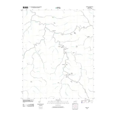 2010 David2010 Print · USGSMagoffin County settlements and family hollows along the Licking River are documented here in the early twenty-first century. Genealogists can trace family lineage across dozens of named sites, including the John B Shepard Cemetery, Arthurmabel, and Lovely Hollow.
 - 2010 Map of Handshoe, 2010 Print
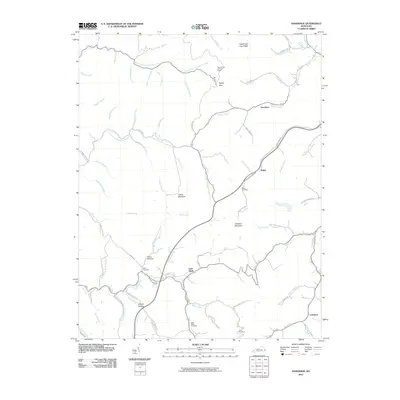 2010 Handshoe2010 Print · USGSKnott County, Kentucky, is shown here in the early twenty-first century, featuring a landscape of steep ridges and creek-bottom communities. Researchers can trace family roots at the Bolen Cemetery or locate landmarks like the Signal Knob Lookout Tower and Soft Shell.
 - 2010 Map of Blackey, 2010 Print
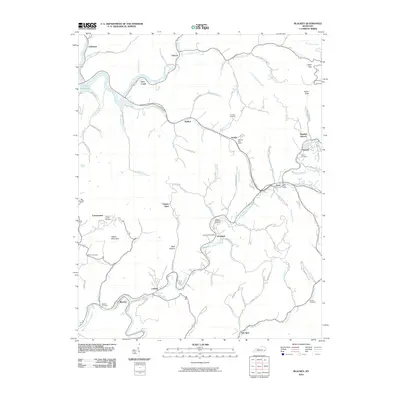 2010 Blackey2010 Print · USGSLetcher County's coal and river valleys are captured here in the early twenty-first century, showing a landscape defined by mountain hollows and winding creeks. Genealogists can locate family landmarks such as James D Caudill Cemetery and trace local communities like Carbon Glow, Hot Spot, and Isom.
 - 2010 Map of Noble, 2010 Print
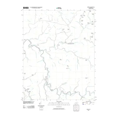 2010 Noble2010 Print · USGSBreathitt County's hollows and creek beds are mapped in detail here during the early twenty-first century. Genealogists and local historians can locate dozens of family burial sites like Napier Cemeteries and early community hubs such as Noble and the Rowdy Post Office.
 - 2010 Map of Kite, 2010 Print
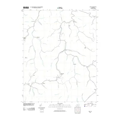 2010 Kite2010 Print · USGSKnott County's narrow valleys and ridge-top terrain are documented in detail during the early twenty-first century. Family history researchers can locate the Topmost Post Office, Bald Hill Cemetery, and settlements like Pippa Passes and Martinsville.
 - 2010 Map of Hindman, 2010 Print
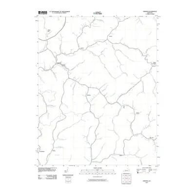 2010 Hindman2010 Print · USGSKnott County, Kentucky, is shown in the early twenty-first century, a landscape defined by the intricate valleys of the Cumberland Plateau. Family historians can locate family-named sites like Madden Cemetery and old hubs including the Mallet Post Office and Hindman.
 - 2010 Map of Carrie, 2010 Print
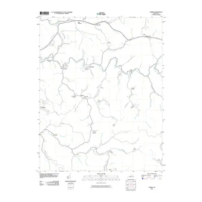 2010 Carrie2010 Print · USGSKnott County, Kentucky, is shown here in the early 2000s, where small communities are tucked into the hollows of the Cumberland Plateau. Researchers can trace family history through numerous burial sites like Franklin Cemetery or locate the Carrie Post Office and Camp Nathanial.
 - 2010 Map of Vest, 2010 Print
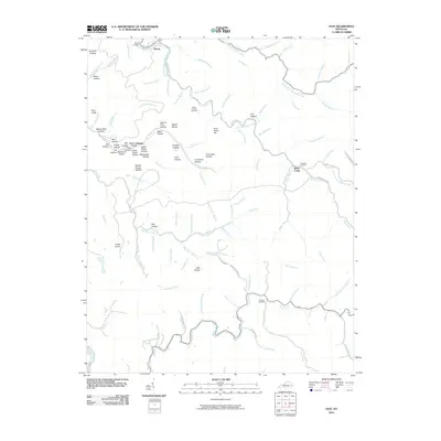 2010 Vest2010 Print · USGSKnott County, Kentucky, is shown here as it appeared in 2010, centered on the complex ridges and valley floors surrounding Decoy. Genealogists and local historians can trace family land near Whitt Howard Cemetery, Baker Camp, and along the banks of Balls Fork.
 - 2010 Map of Hazard North, 2010 Print
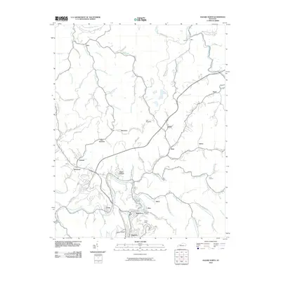 2010 Hazard North2010 Print · USGSThe North Fork Kentucky River valley and its surrounding ridges are documented here during a period of modern development. Researchers can trace ancestral locations through several burial grounds like Ary Cemetery or explore settlements such as Bonnyman and Blue Diamond.
 - 2010 Map of Mayking, 2010 Print
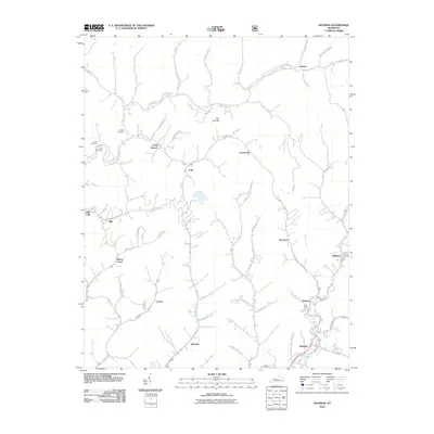 2010 Mayking2010 Print · USGSLetcher County's steep mountain hollows and coal-country hamlets are captured here at the start of the 2010s. Genealogists can locate family burial sites at Collins or Cook Cemetery and trace old routes through Loggy Hollow and Sergent.
 - 2011 Map of Hazard South, 2011 Print
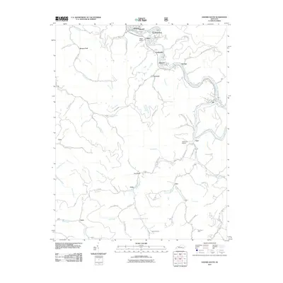 2011 Hazard South2011 Print · USGSPerry County's coal-country hollows and river bends are captured here during the early 2000s. Researchers can trace family roots through landmarks like Caudill Cemetery or locate specific settlements such as Viper, Glomawr, and Twin Rocks Camp.
 - 2013 Map of Noble, 2013 Print
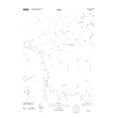 2013 Noble2013 Print · USGSThis part of Breathitt County is shown in the early 2010s as a landscape of isolated hollows and riverside communities. Genealogists can locate family landmarks like the Noble Cemeteries, Haddix Cem, and the specialized Camp Robinson University of Kentucky Engineering Camp.
 - 2013 Map of Vest, 2013 Print
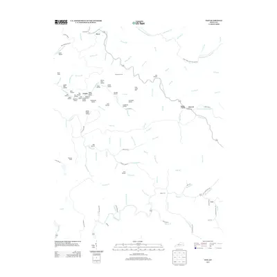 2013 Vest2013 Print · USGSKnott County’s winding hollows and steep ridges are documented here during the early twenty-first century. Researchers can locate family homesteads and burial sites at Whitt Howard Cem and Dobson Cem or trace settlements like Decoy and Vest.
 - 2013 Map of Hazard North, 2013 Print
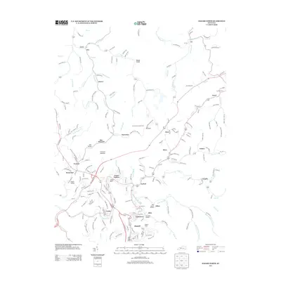 2013 Hazard North2013 Print · USGSEastern Kentucky's coal-country landscape is documented here in the early 2010s as settlements like Hazard and Blue Diamond follow the winding river forks. Researchers can trace family history at Riverside Cem or locate the Lost Mountain Lookout Tower and the community of Dwarf.
 - 2013 Map of Carrie, 2013 Print
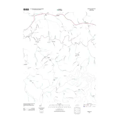 2013 Carrie2013 Print · USGSEastern Kentucky's narrow valleys and hollows are documented here during a period of modern development and enduring rural heritage. Researchers can locate family landmarks like the Adam Terry Cem or trace the winding course of Troublesome Cr past Bearville and Emmalena.
 - 2013 Map of Vicco, 2013 Print
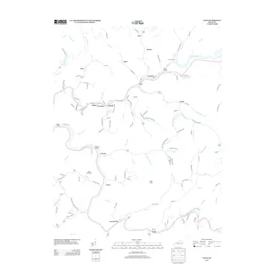 2013 Vicco2013 Print · USGSThe mountain valleys of Perry County are seen here in the early 2010s, showcasing the clustered settlements along the North Fork Kentucky River. Family researchers can locate Cornett Hill Cemetery and trace historical communities like Happy, Vicco, and Sassafras.
 - 2013 Map of Tiptop, 2013 Print
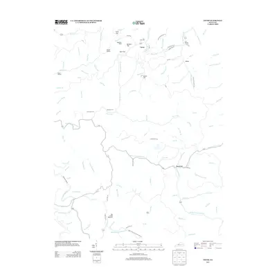 2013 Tiptop2013 Print · USGSMagoffin County's upland hollows are documented here during the early twenty-first century as they follow the winding creeks. Researchers can trace family history at the John Bailey Cem or locate old crossings at Mullins Gap and Evanston.
 - 2013 Map of Hazard South, 2013 Print
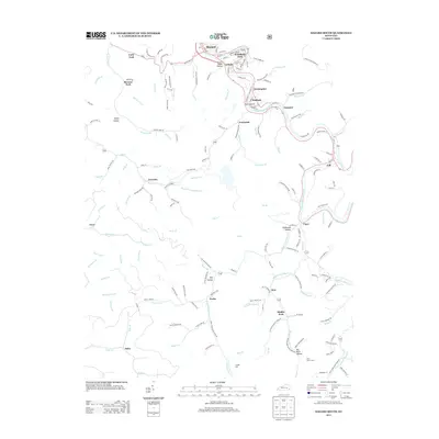 2013 Hazard South2013 Print · USGSSoutheastern Kentucky's river valleys and mountain hollows are meticulously mapped in this early twenty-first-century survey of the Hazard area. Researchers can trace local history through named settlements like Viper, Glomawr, and Diablock, alongside quiet landmarks like Englewood Cem.
 - 2013 Map of Hindman, 2013 Print
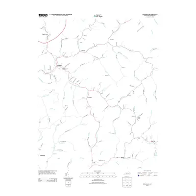 2013 Hindman2013 Print · USGSKnott County's narrow hollows and winding creeks are documented here during the early twenty-first century. Genealogists and local historians can trace family roots through markers like Madden Cem or settlements such as Hindman, Brinkley, and Pine Top.
 - 2013 Map of Wheelwright, 2013 Print
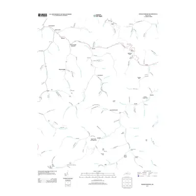 2013 Wheelwright2013 Print · USGSIn the heart of the Kentucky coalfields during the early twenty-first century, this map traces the deep hollows and creek-side settlements of Floyd County. Genealogists and historians can locate numerous family burial sites like Burke Cem and trace the residential layouts of Wheelwright and Weeksbury.
 - 2013 Map of David, 2013 Print
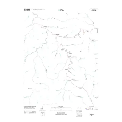 2013 David2013 Print · USGSThis part of eastern Kentucky during the early twenty-first century is defined by its deep hollows and the winding Licking River. Researchers can locate numerous family burial sites like the Wireman Cem and Dona Howard Cem or trace the early paths of Arthurmabel and Gunlock.
Showing maps 1-25 of 60
Top cities of Knott County
Frequently asked questions
- What are the different types of historical maps available for Knott County?
- What is the oldest map of Knott County?
- Where can I purchase historical maps of Knott County for my home or office?
- Where can I download high-res historical maps of Knott County?
- Are there historical topographic maps available for Knott County?
- Is there historical aerial imagery available for Knott County?
- Where are historical maps of Knott County sourced from?