1960s Maps of Lawrence County, Kentucky
Explore 8 historic maps of Lawrence County from the 1960s. These maps offer a rare glimpse into what life looked like during the 1960s — showing old roads, neighborhoods, homes, and landmarks that have changed or disappeared over time.
Whether you're researching your family's past, planning a metal detecting trip, or studying how Lawrence County's landscape evolved across the 1960s, these high-resolution maps are a powerful tool for exploring the history of this region.
- Focus on a specific era: All maps on this page are from the 1960s, giving you a focused view of this time period.
- See what’s changed: Compare century-old streets, trails, and buildings to today's modern landscape using overlays and satellite layers.
- Research with precision: Use these maps for genealogy, historical research, land use analysis, or educational projects.
- View, download, or print: Maps are fully viewable online in high resolution, and can be downloaded or printed for your own records.
Start exploring Lawrence County's history through authentic maps from the 1960s. This is your window into the past.
Lawrence County, KY maps
(8)- 1960 Map of Jenkins
 1960 Jenkins1960 Print · USGSEastern Kentucky and the West Virginia borderlands are captured at a mid-century peak of the coal and rail era. Trace the industrial corridors of the Chesapeake and Ohio RR through mountain hubs like Hazard and Jenkins.
 - 1960 Map of Huntington
 1960 Huntington1960 Print · USGSThe tri-state river valley thrived in the late fifties as a hub of heavy industry and Appalachian rail transit. Genealogists and historians can trace the connection between river towns like Ashland and Portsmouth or locate family homesteads near Coleman Ridge.
 - 1962 Map of Prichard, 1963 Print
 1962 Prichard1963 Print · USGSThe Big Sandy River valley and its busy rail lines define this borderland in the early 1960s. Genealogists can trace family names through Shannon Cem or find local landmarks like Brick Church and Catalpa.5 unique versions available
 - 1962 Map of Louisa, 1963 Print
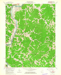
 1962 Louisa1963 Print · USGSThe confluence of the Tug and Levisa Forks at the West Virginia border defined the rail and river life of the early sixties. Genealogists can locate dozens of family burial grounds and rural landmarks such as Smith Chapel, Greenlawn Cem, and Torchlight Sch.
 - 1962 Map of Redbush, 1964 Print
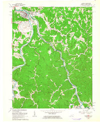
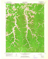
 1962 Redbush1964 Print · USGSJohnson and Lawrence counties are shown during a period of active energy extraction in the early sixties. Researchers can trace rural lineages through local landmarks like Win Po, the Martha Pool gas fields, and Point Pleasant Ch.3 unique versions available
 - 1962 Map of Dingus, 1964 Print
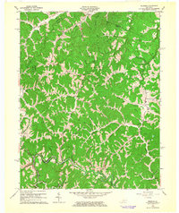
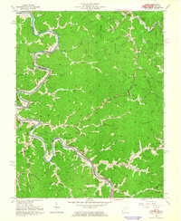
 1962 Dingus1964 Print · USGSMorgan County in the early sixties remains a landscape of deep hollows and ridge-top cemeteries connected by the waters of Paint Creek. Researchers can trace family history through local landmarks like White Oak Sch and the Strip Mine or Oil Well sites.4 unique versions available
 - 1962 Map of Isonville, 1964 Print
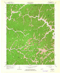
 1962 Isonville1964 Print · USGSThe hill country of Elliott County appears here in the early sixties, showing a landscape defined by deep hollows and creek-bed settlements. Genealogists and researchers can trace family landmarks like Fraley Chapel, Peters Hill, and the old Roscoe Sch.3 unique versions available
 - 1963 Map of Webb, 1964 Print
 1963 Webb1964 Print · USGSThe Tug Fork valley comes to life in the early sixties, showing the vital link between the Norfolk and Western rail line and river towns. Genealogists can locate family landmarks like Salmons Cem, Thomas Copley Ch, and the Baker Gap Sch.4 unique versions available
End of results
Showing maps 1-8 of 8
Top cities of Lawrence County
Frequently asked questions
- What are the different types of historical maps available for Lawrence County?
- What is the oldest map of Lawrence County?
- Where can I purchase historical maps of Lawrence County for my home or office?
- Where can I download high-res historical maps of Lawrence County?
- Are there historical topographic maps available for Lawrence County?
- Is there historical aerial imagery available for Lawrence County?
- Where are historical maps of Lawrence County sourced from?