Old Maps of Halls Gap, Kentucky for Academic Research
Study the evolution of Halls Gap with 10 high-resolution historic maps. Whether you're teaching, researching, or modeling changes in land use, these maps provide essential visual documentation of urban, environmental, and geographic change.
- Analyze long-term change: Track patterns in development, transportation, and natural features.
- Ideal for environmental or urban studies: Support academic projects with primary historical map data.
- Use in the classroom or lab: Educators and researchers rely on these maps to bring historical context to life.
These maps are a powerful tool for teaching, research, and visualizing how Halls Gap has changed over the decades.
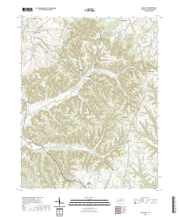
Halls Gap, KY maps
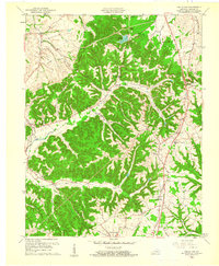
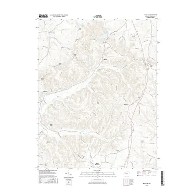
(10)- 1952 Map of Halls Gap, 1953 Print
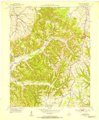 1952 Halls Gap1953 Print · USGSLincoln County in the early fifties is mapped here as a network of ridge-top settlements and creek-side farms. Genealogists and local historians can trace family locations through Campbell Cem, the South Fork Arabia Post Office, and Kings Mountain.
 - 1957 Map of Winchester, 1968 Print
 1957 Winchester1968 Print · USGSCentral Kentucky's landscape in the mid-twentieth century features the sprawling Fort Knox and the early parkway system. Genealogists and historians can trace rail lines like the Southern Railway and find landmarks from Bernheim Forest to Pilot Knob.3 unique versions available
 - 1960 Map of Winchester
 1960 Winchester1960 Print · USGSCentral Kentucky's diverse landscape is shown here at mid-century, from the bluegrass plains to the rugged Pottsville Escarpment. Genealogists and historians can trace the rail-and-river network connecting towns like Bardstown and Stanford alongside landmarks like Lake Cumberland.
 - 1961 Map of Halls Gap
 1961 Halls Gap1961 Print · USGSLincoln County in the early sixties was defined by its railroad hamlets and the winding headwaters of the Green River. Researchers can locate ancestral sites like Turnersville, Jumbo, and the Memorial High Sch among the ridgelines.2 unique versions available
 - 1982 Map of Somerset, 1983 Print
 1982 Somerset1983 Print · USGSThe Lake Cumberland region and the Daniel Boone National Forest appear here in the early eighties. Researchers can trace rural lineages through Broughtontown, Science Hill, and Sinking Valley Church while exploring the rail lines of the Southern Railway.
 - 2010 Map of Halls Gap, 2010 Print
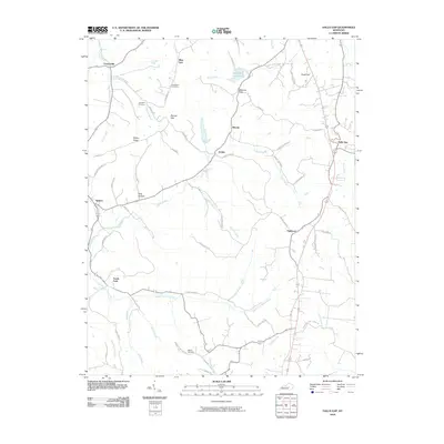 2010 Halls Gap2010 Print · USGSCovers Halls Gap, including Blue Lick, Jumbo, and other nearby areas
 - 2013 Map of Halls Gap, 2013 Print
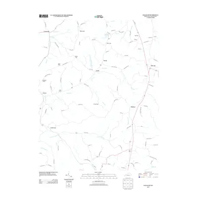 2013 Halls Gap2013 Print · USGSCovers Halls Gap, including Blue Lick, Jumbo, and other nearby areas
 - 2016 Map of Halls Gap, 2016 Print
 2016 Halls Gap2016 Print · USGSCovers Halls Gap, including Blue Lick, Jumbo, and other nearby areas
 - 2019 Map of Halls Gap, 2019 Print
 2019 Halls Gap2019 Print · USGSCovers Halls Gap, including Blue Lick, Jumbo, and other nearby areas
 - 2022 Map of Halls Gap, 2022 Print
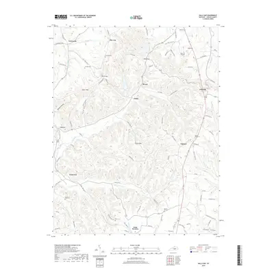
 2022 Halls Gap2022 Print · USGSLincoln County at the start of the 2020s shows a landscape of deep ridges and historic family burial grounds. Genealogists can trace rural roots through South Fork Church/Cem, the Gruenheim Cem, and the community at Kings Mountain.
End of results
Showing maps 1-10 of 10
Top cities near Halls Gap
- Danville historical maps
- Lancaster historical maps
- Stanford historical maps
- Junction City historical maps
- Brodhead historical maps
- Crab Orchard historical maps
See more
Frequently asked questions
- What are the different types of historical maps available for Halls Gap?
- What is the oldest map of Halls Gap?
- Where can I purchase historical maps of Halls Gap for my home or office?
- Where can I download high-res historical maps of Halls Gap?
- Are there historical topographic maps available for Halls Gap?
- Is there historical aerial imagery available for Halls Gap?
- Where are historical maps of Halls Gap sourced from?