2000s (21st Century) Maps of Logan County, Kentucky
Explore 85 historic maps of Logan County from the 2000s (21st Century). These maps offer a rare glimpse into what life looked like during the 2000s — showing old roads, neighborhoods, homes, and landmarks that have changed or disappeared over time.
Whether you're researching your family's past, planning a metal detecting trip, or studying how Logan County's landscape evolved across the 2000s, these high-resolution maps are a powerful tool for exploring the history of this region.
- Focus on a specific era: All maps on this page are from the 2000s, giving you a focused view of this time period.
- See what’s changed: Compare century-old streets, trails, and buildings to today's modern landscape using overlays and satellite layers.
- Research with precision: Use these maps for genealogy, historical research, land use analysis, or educational projects.
- View, download, or print: Maps are fully viewable online in high resolution, and can be downloaded or printed for your own records.
Start exploring Logan County's history through authentic maps from the 2000s. This is your window into the past.
Logan County, KY maps
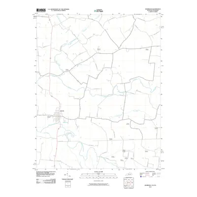
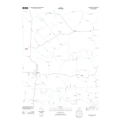
(85)- 2010 Map of Sharon Grove, 2010 Print
 2010 Sharon Grove2010 Print · USGSCovers Logan County, including Sharon Grove, Claymour, and other nearby areas
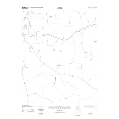
 - 2010 Map of Quality, 2010 Print
 2010 Quality2010 Print · USGSCovers Logan County, including Turnertown, Quality, and other nearby areas
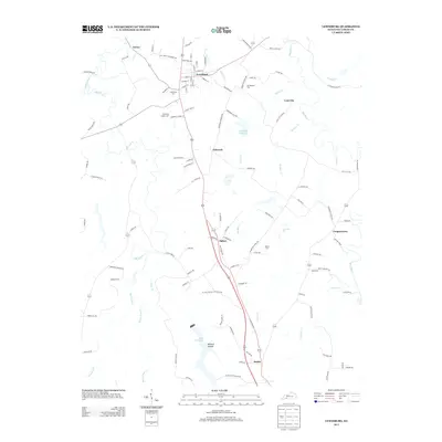
 - 2010 Map of Rockfield, 2010 Print
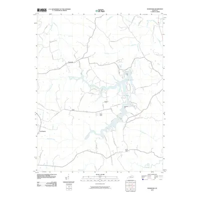
 2010 Rockfield2010 Print · USGSCovers Logan County, including Bowling Green, Rich Pond, and other nearby areas
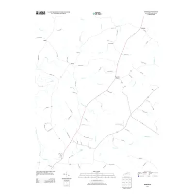
 - 2010 Map of Sugar Grove, 2010 Print
 2010 Sugar Grove2010 Print · USGSCovers Logan County, including Davis Crossroads, Sugar Grove, and other nearby areas
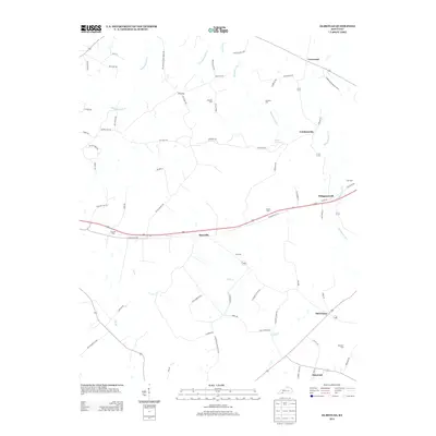
 - 2010 Map of Olmstead, 2010 Print
 2010 Olmstead2010 Print · USGSCovers Logan County, including Whippoorwill, Olmstead, and other nearby areas
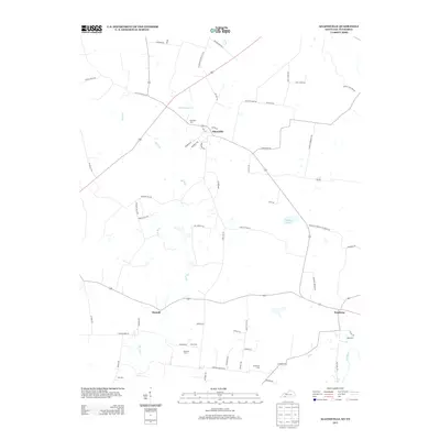
 - 2010 Map of Lewisburg, 2010 Print
 2010 Lewisburg2010 Print · USGSCovers Logan County, including Lewisburg, Cooperstown, and other nearby areas
 - 2010 Map of Dennis, 2010 Print
 2010 Dennis2010 Print · USGSCovers Logan County, including Russellville, Dennis, and other nearby areas
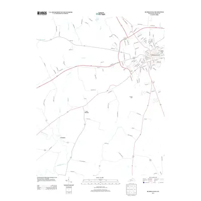
 - 2010 Map of Russellville, 2010 Print
 2010 Russellville2010 Print · USGSCovers Logan County, including Russellville, Cave Springs, and other nearby areas
 - 2010 Map of Homer, 2010 Print
 2010 Homer2010 Print · USGSCovers Logan County, including Costelow, Homer, and other nearby areas
 - 2010 Map of Dunmor, 2010 Print
 2010 Dunmor2010 Print · USGSCovers Logan County, including Hollow Bill, Wolf Lick, and other nearby areas
 - 2010 Map of South Union, 2010 Print
 2010 South Union2010 Print · USGSCovers Logan County, including Gasper, South Union, and other nearby areas
 - 2010 Map of Auburn, 2010 Print
 2010 Auburn2010 Print · USGSCovers Logan County, including Auburn, Middleton, and other nearby areas
 - 2010 Map of Rosewood, 2010 Print
 2010 Rosewood2010 Print · USGSCovers Logan County, including Tyewhoppety, Rosewood, and other nearby areas
 - 2010 Map of Allensville, 2010 Print
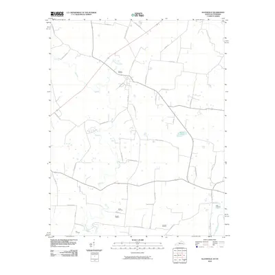 2010 Allensville2010 Print · USGSCovers Logan County, including Allensville, Keysburg, and other nearby areas
 - 2010 Map of Dot, 2010 Print
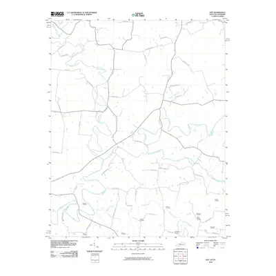 2010 Dot2010 Print · USGSCovers Logan County, including Lickskillet, Oakville, and other nearby areas
 - 2010 Map of Prices Mill, 2010 Print
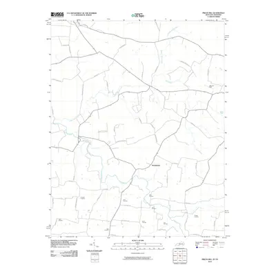 2010 Prices Mill2010 Print · USGSCovers Logan County, including Prices Mill, Schweizer, and other nearby areas
 - 2010 Map of Adairville, 2010 Print
 2010 Adairville2010 Print · USGSCovers Logan County, including Adairville, Hilltop, and other nearby areas
 - 2013 Map of Dennis, 2013 Print
 2013 Dennis2013 Print · USGSCovers Logan County, including Russellville, Dennis, and other nearby areas
 - 2013 Map of Lewisburg, 2013 Print
 2013 Lewisburg2013 Print · USGSCovers Logan County, including Lewisburg, Cooperstown, and other nearby areas
 - 2013 Map of Homer, 2013 Print
 2013 Homer2013 Print · USGSCovers Logan County, including Costelow, Homer, and other nearby areas
 - 2013 Map of Adairville, 2013 Print
 2013 Adairville2013 Print · USGSCovers Logan County, including Adairville, Hilltop, and other nearby areas
 - 2013 Map of Russellville, 2013 Print
 2013 Russellville2013 Print · USGSCovers Logan County, including Russellville, Cave Springs, and other nearby areas
 - 2013 Map of Olmstead, 2013 Print
 2013 Olmstead2013 Print · USGSCovers Logan County, including Whippoorwill, Olmstead, and other nearby areas
 - 2013 Map of Allensville, 2013 Print
 2013 Allensville2013 Print · USGSCovers Logan County, including Allensville, Keysburg, and other nearby areas
 - 2013 Map of Quality, 2013 Print
 2013 Quality2013 Print · USGSCovers Logan County, including Turnertown, Quality, and other nearby areas
Showing maps 1-25 of 85
Top cities of Logan County
- Russellville historical maps
- Auburn historical maps
- Adairville historical maps
- Lewisburg historical maps
Frequently asked questions
- What are the different types of historical maps available for Logan County?
- What is the oldest map of Logan County?
- Where can I purchase historical maps of Logan County for my home or office?
- Where can I download high-res historical maps of Logan County?
- Are there historical topographic maps available for Logan County?
- Is there historical aerial imagery available for Logan County?
- Where are historical maps of Logan County sourced from?