2010s Maps of Logan County, Kentucky
Explore 68 historic maps of Logan County from the 2010s. These maps offer a rare glimpse into what life looked like during the 2010s — showing old roads, neighborhoods, homes, and landmarks that have changed or disappeared over time.
Whether you're researching your family's past, planning a metal detecting trip, or studying how Logan County's landscape evolved across the 2010s, these high-resolution maps are a powerful tool for exploring the history of this region.
- Focus on a specific era: All maps on this page are from the 2010s, giving you a focused view of this time period.
- See what’s changed: Compare century-old streets, trails, and buildings to today's modern landscape using overlays and satellite layers.
- Research with precision: Use these maps for genealogy, historical research, land use analysis, or educational projects.
- View, download, or print: Maps are fully viewable online in high resolution, and can be downloaded or printed for your own records.
Start exploring Logan County's history through authentic maps from the 2010s. This is your window into the past.
Logan County, KY maps
(68)- 2010 Map of Sharon Grove, 2010 Print
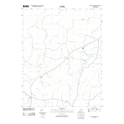 2010 Sharon Grove2010 Print · USGSNorthern Todd County is shown here in the early 2000s, where small farming communities and family landmarks define the rural landscape. Researchers can locate established sites like Sharon Grove, Claymour, and Gant Cemetery alongside the winding course of Wolf Lick Creek.
 - 2010 Map of Quality, 2010 Print
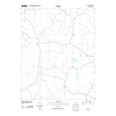 2010 Quality2010 Print · USGSThis rural Butler County landscape in the early twenty-first century reveals a network of tight-knit settlements and family-named landmarks. Genealogists can locate Duncan Cemetery or Smith Cemetery and trace historical property access along Old Quality Rd and Old Greenville Rd.
 - 2010 Map of Rockfield, 2010 Print
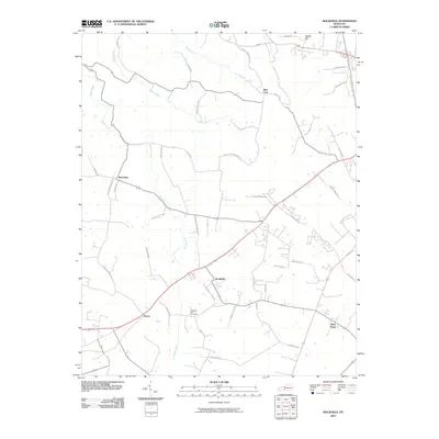 2010 Rockfield2010 Print · USGSWarren County communities southwest of Bowling Green are captured here during a period of transition in the early twenty-first century. Genealogists and local researchers can trace the roads around Rockfield, find Pleasant Hill Cemetery, and locate Rich Pond.
 - 2010 Map of Sugar Grove, 2010 Print
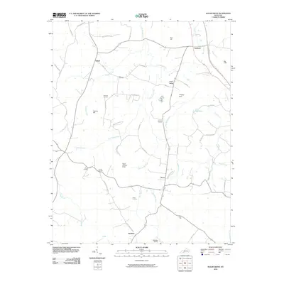 2010 Sugar Grove2010 Print · USGSButler County's rural communities and family landholdings are documented here in the early twenty-first century. Genealogists and local researchers can trace legacy sites like Lee Cemetery, Githens Cemetery, and the community of Sugar Grove.
 - 2010 Map of Olmstead, 2010 Print
 2010 Olmstead2010 Print · USGSLogan County’s rural landscape is captured here in the early twenty-first century, showcasing a community built around small crossroads and family farms. Genealogists can trace local roots through numerous family burial sites, including Russell Cemetery, Lee Cemetery, and Lyne Cemetery.
 - 2010 Map of Lewisburg, 2010 Print
 2010 Lewisburg2010 Print · USGSLogan County, Kentucky, is shown here as it appeared in the early 21st century, centered on the historic community of Lewisburg. Local researchers can locate family burial grounds like Head Cemetery and trace the paths of rural settlements such as Lost City and Epleys.
 - 2010 Map of Dennis, 2010 Print
 2010 Dennis2010 Print · USGSLogan County, Kentucky, remained a patchwork of small communities and family landholdings in the early twenty-first century. Researchers can locate burial sites like Bibbs Chapel Cemetery or trace the rural drainage of the Mud River and Poindexter Branch.
 - 2010 Map of Russellville, 2010 Print
 2010 Russellville2010 Print · USGSLogan County at the dawn of the twenty-first century shows a landscape where historic rural settlements like Ferguson and Cave Springs orbit the growing county seat. Genealogists and local historians can trace family-named routes and locate the Doyle Cemetery or the distinctive height of Luckett Knob.
 - 2010 Map of Homer, 2010 Print
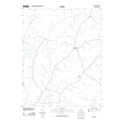 2010 Homer2010 Print · USGSLogan County, Kentucky, at the start of the 21st century reveals a landscape defined by deep-rooted family names and winding waterways. Researchers can trace local history through small hubs like Chandlers Chapel and Homer, or follow family landmarks like R Bailey Rd and J Will Stewart Rd near the banks of the Mud River.
 - 2010 Map of Dunmor, 2010 Print
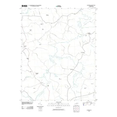 2010 Dunmor2010 Print · USGSThe rural Kentucky landscape near the Logan and Muhlenberg border is shown here as it appeared in the early twenty-first century. Researchers can trace ancestral roots through sites like Fitzhugh Cemetery, the milling history of Forgys Mill, and old settlements like Hollow Bill and Diamond Springs.
 - 2010 Map of South Union, 2010 Print
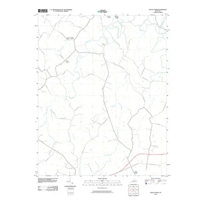 2010 South Union2010 Print · USGSSouth Union and the surrounding Kentucky countryside are captured here during the first decade of the millennium. Researchers can trace ancestral connections at the Felts Cemetery or follow the historic paths through Shaker Hollow and Richelieu Hollow.
 - 2010 Map of Auburn, 2010 Print
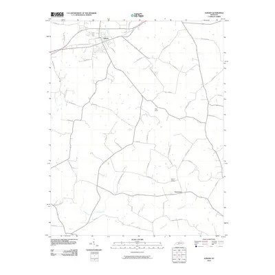 2010 Auburn2010 Print · USGSLogan County during the early twenty-first century reveals a deeply rooted agrarian landscape centered on the town of Auburn. Researchers can trace old family roadbeds and community sites like Turnertown, the Pleasant View Cemetery, and the prominent landmark of Pilot Knob.
 - 2010 Map of Rosewood, 2010 Print
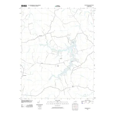 2010 Rosewood2010 Print · USGSTodd County's rural landscape at the start of the 2010s reveals a network of creeks and small settlements branching out from the shores of Lake Malone. Researchers can trace the layout of local roads and find landmarks such as Tyewhoppety, the McPherson Cemetery, and Whiterock Cliff.
 - 2010 Map of Allensville, 2010 Print
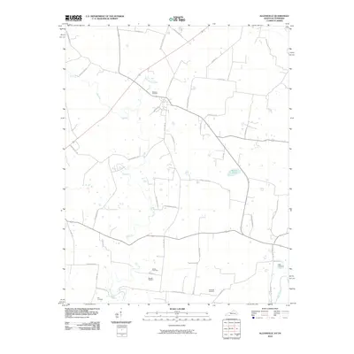 2010 Allensville2010 Print · USGSThe Kentucky-Tennessee borderlands appear here in the early twenty-first century, centered on the fertile drainage of the Elk Fork. Genealogists can locate numerous local burial sites such as Mitchell Cemetery and Wall Cemetery among the rural roads.
 - 2010 Map of Dot, 2010 Print
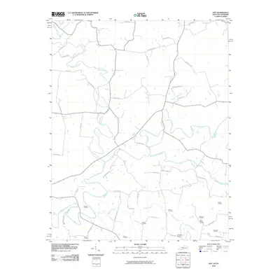 2010 Dot2010 Print · USGSSouthern Logan County at the dawn of the 2010s reveals a landscape deeply rooted in family history and river geography. Genealogists can trace numerous ancestral sites including the Robertson Cemetery and Holman Cemetery tucked along the Red River and Valley Branch.
 - 2010 Map of Prices Mill, 2010 Print
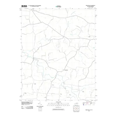 2010 Prices Mill2010 Print · USGSAgricultural life along the Kentucky-Tennessee border is documented here in the first decade of the new millennium. Genealogists can trace family heritage through numerous burial sites like Rose and Stringer or follow the waters of the Red River.
 - 2010 Map of Adairville, 2010 Print
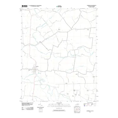 2010 Adairville2010 Print · USGSAdairville and the Kentucky-Tennessee borderlands are shown here in the early twenty-first century, revealing a landscape shaped by family farms and winding river forks. Genealogists can trace family names through numerous burial sites like Red River Cemetery, Trimble Cemetery, and Traughber Cemetery.
 - 2013 Map of Dennis, 2013 Print
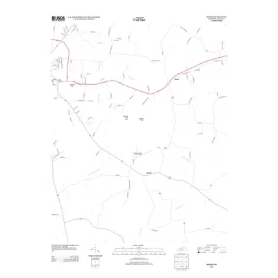 2013 Dennis2013 Print · USGSLogan County during the early twenty-first century reflects a blend of rural tradition and modern infrastructure. Genealogists and local historians can trace family sites like Bibbs Chapel Cem and Pillow Cem near landmarks like Sugarloaf Knob.
 - 2013 Map of Lewisburg, 2013 Print
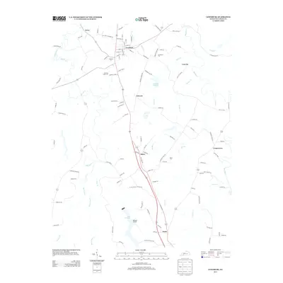 2013 Lewisburg2013 Print · USGSLogan County, Kentucky, is shown in detail during the early 21st century, centered on the community of Lewisburg. Genealogists and historians can trace several local burial sites like Kennerlys Chapel Cem and Head Cem, or locate landmarks such as Lost City and Lake Herndon.
 - 2013 Map of Homer, 2013 Print
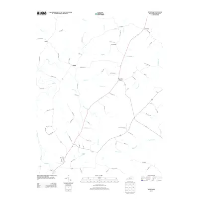 2013 Homer2013 Print · USGSLogan County’s agricultural heartland is documented here in the early twenty-first century, showing the enduring rural character of southwestern Kentucky. Genealogists and local historians can trace family land via Homer Cemetery Rd and locate landmarks like Chandlers Chapel and the Lone Pine Aerodrome.
 - 2013 Map of Adairville, 2013 Print
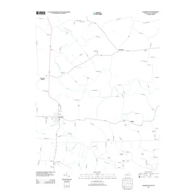 2013 Adairville2013 Print · USGSSouthern Logan County and the Tennessee borderlands are detailed here in the early twenty-first century. Genealogists can trace family heritage through over a dozen rural burial sites, including Ballance Cem, Hummer Cem, and Pearson Cem.
 - 2013 Map of Russellville, 2013 Print
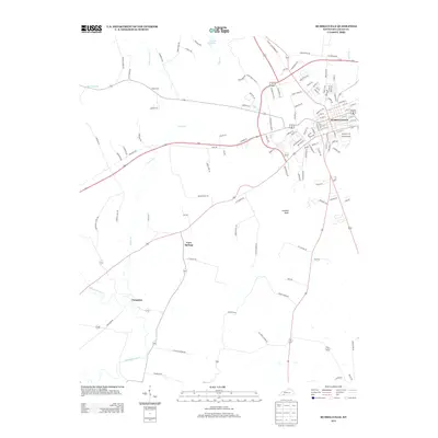 2013 Russellville2013 Print · USGSLogan County, Kentucky, is captured here in the early twenty-first century as the city of Russellville continues to expand into its rural surroundings. Researchers can trace local lineage and land use at the Doyle Cemetery or near Cave Springs and Luckett Knob.
 - 2013 Map of Olmstead, 2013 Print
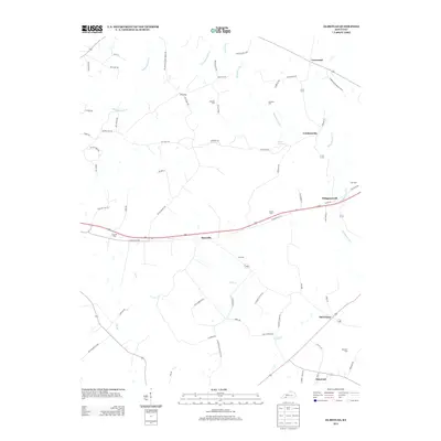 2013 Olmstead2013 Print · USGSSettled farmland and quiet crossroads define this corner of Logan County in the early twenty-first century. Genealogists can trace family lines through numerous rural burial sites like Bennett Cem and Lyne Cem or visit old communities such as Whippoorwill and Old Volney.
 - 2013 Map of Allensville, 2013 Print
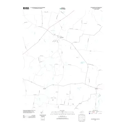 2013 Allensville2013 Print · USGSThis rural portion of the Kentucky-Tennessee border comes into focus in the early 2010s, centered on the historic crossroads of Allensville. Genealogists and local historians can trace family locations through numerous rural burial sites like Belmont Cem and Cross Cem.
 - 2013 Map of Quality, 2013 Print
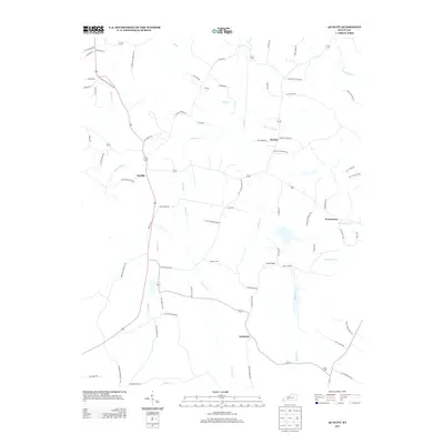 2013 Quality2013 Print · USGSButler County's rural communities are captured here in the early twenty-first century as agricultural patterns and creek-side settlements remain largely intact. Genealogists can trace family footprints near Duncan Cem or along Old Mount Zion School Rd and Quality.
Showing maps 1-25 of 68
Top cities of Logan County
- Russellville historical maps
- Auburn historical maps
- Adairville historical maps
- Lewisburg historical maps
Frequently asked questions
- What are the different types of historical maps available for Logan County?
- What is the oldest map of Logan County?
- Where can I purchase historical maps of Logan County for my home or office?
- Where can I download high-res historical maps of Logan County?
- Are there historical topographic maps available for Logan County?
- Is there historical aerial imagery available for Logan County?
- Where are historical maps of Logan County sourced from?