2000s (21st Century) Maps of Madison County, Kentucky
Explore 85 historic maps of Madison County from the 2000s (21st Century). These maps offer a rare glimpse into what life looked like during the 2000s — showing old roads, neighborhoods, homes, and landmarks that have changed or disappeared over time.
Whether you're researching your family's past, planning a metal detecting trip, or studying how Madison County's landscape evolved across the 2000s, these high-resolution maps are a powerful tool for exploring the history of this region.
- Focus on a specific era: All maps on this page are from the 2000s, giving you a focused view of this time period.
- See what’s changed: Compare century-old streets, trails, and buildings to today's modern landscape using overlays and satellite layers.
- Research with precision: Use these maps for genealogy, historical research, land use analysis, or educational projects.
- View, download, or print: Maps are fully viewable online in high resolution, and can be downloaded or printed for your own records.
Start exploring Madison County's history through authentic maps from the 2000s. This is your window into the past.
Madison County, KY maps
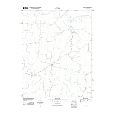
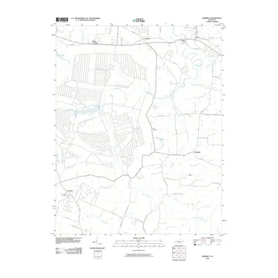
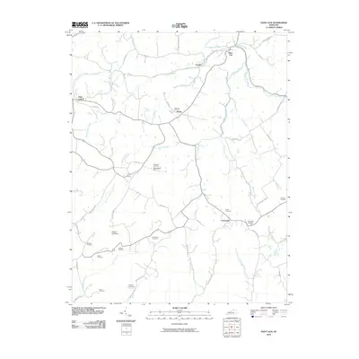
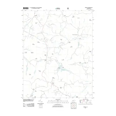
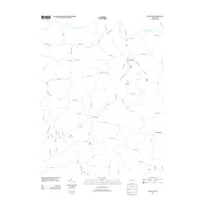
(85)- 2010 Map of Berea, 2010 Print
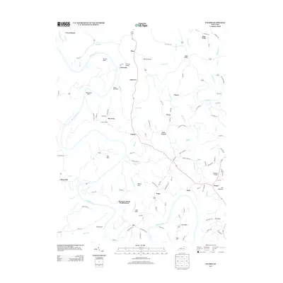
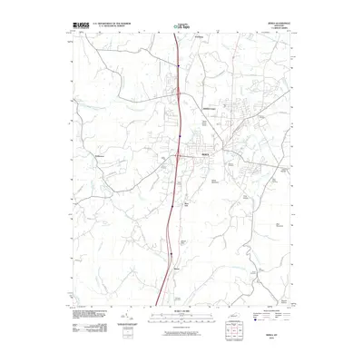 2010 Berea2010 Print · USGSCovers Madison County, including Richmond, Berea, and other nearby areas
 - 2010 Map of Buckeye, 2010 Print
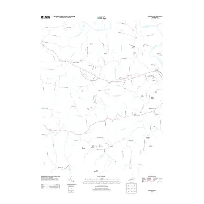
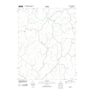 2010 Buckeye2010 Print · USGSCovers Madison County, including Lancaster, Judson, and other nearby areas
 - 2010 Map of Panola, 2010 Print
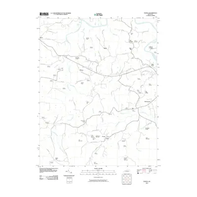 2010 Panola2010 Print · USGSCovers Madison County, including Winston, Witt, and other nearby areas
 - 2010 Map of Richmond South, 2010 Print
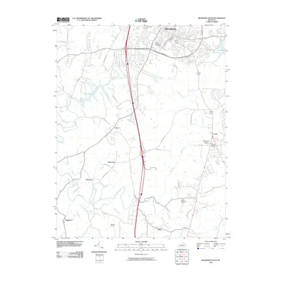 2010 Richmond South2010 Print · USGSCovers Madison County, including Richmond, Berea, and other nearby areas
 - 2010 Map of Union City, 2010 Print
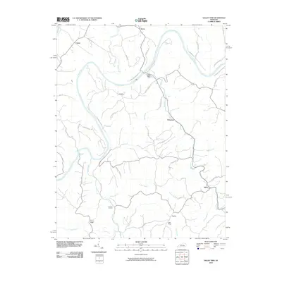
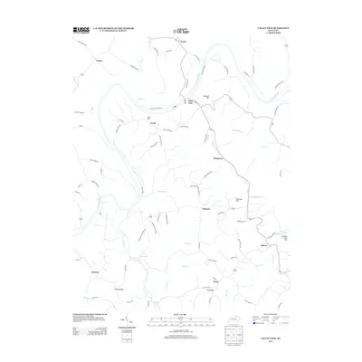
 2010 Union City2010 Print · USGSCovers Madison County, including Doylesville, Union City, and other nearby areas
 - 2010 Map of Ford, 2010 Print
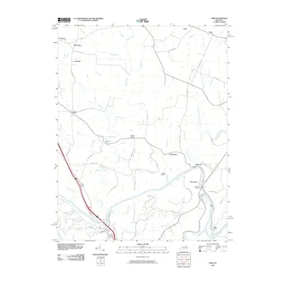 2010 Ford2010 Print · USGSCovers Madison County, including Lexington, Lisletown, and other nearby areas
 - 2010 Map of Valley View, 2010 Print
 2010 Valley View2010 Print · USGSCovers Madison County, including Lexington, Cuzick, and other nearby areas
 - 2010 Map of Kirksville, 2010 Print
 2010 Kirksville2010 Print · USGSCovers Madison County, including Cottonburg, Round Hill, and other nearby areas
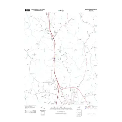
 - 2010 Map of Moberly, 2010 Print
 2010 Moberly2010 Print · USGSCovers Madison County, including Richmond, Reeds Crossing, and other nearby areas
 - 2010 Map of Richmond North, 2010 Print
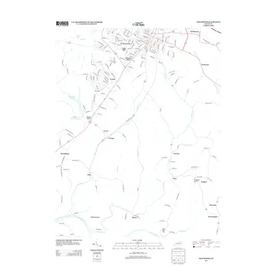
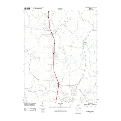 2010 Richmond North2010 Print · USGSCovers Madison County, including Lexington, Richmond, and other nearby areas
 - 2010 Map of Winchester, 2010 Print
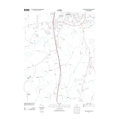
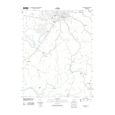 2010 Winchester2010 Print · USGSCovers Madison County, including Winchester, Hunt, and other nearby areas
 - 2010 Map of Palmer, 2010 Print
 2010 Palmer2010 Print · USGSCovers Madison County, including Vianna, Log Lick, and other nearby areas
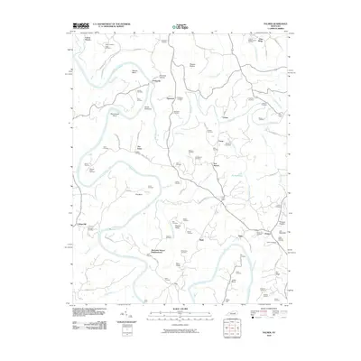
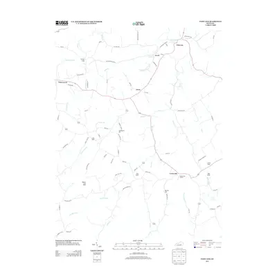
 - 2010 Map of Paint Lick, 2010 Print
 2010 Paint Lick2010 Print · USGSCovers Madison County, including Paint Lick, Lowell, and other nearby areas
 - 2010 Map of Coletown, 2010 Print
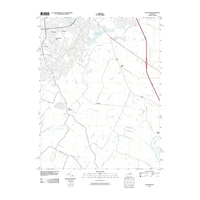 2010 Coletown2010 Print · USGSCovers Madison County, including Lexington, Coletown, and other nearby areas
 - 2010 Map of Little Hickman, 2010 Print
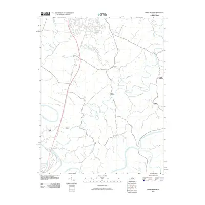 2010 Little Hickman2010 Print · USGSCovers Madison County, including Nicholasville, Little Hickman, and other nearby areas
 - 2011 Map of Bighill, 2011 Print
 2011 Bighill2011 Print · USGSCovers Madison County, including Berea, Morrill, and other nearby areas
 - 2011 Map of Alcorn, 2011 Print
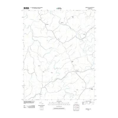
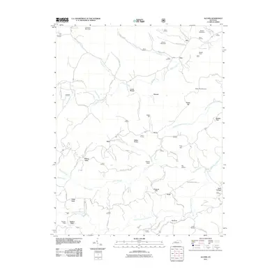 2011 Alcorn2011 Print · USGSCovers Madison County, including Alcorn, Blanton Flats, and other nearby areas
 - 2013 Map of Panola, 2013 Print
 2013 Panola2013 Print · USGSCovers Madison County, including Winston, Witt, and other nearby areas
 - 2013 Map of Paint Lick, 2013 Print
 2013 Paint Lick2013 Print · USGSCovers Madison County, including Paint Lick, Lowell, and other nearby areas
 - 2013 Map of Richmond North, 2013 Print
 2013 Richmond North2013 Print · USGSCovers Madison County, including Lexington, Richmond, and other nearby areas
 - 2013 Map of Union City, 2013 Print
 2013 Union City2013 Print · USGSCovers Madison County, including Doylesville, Union City, and other nearby areas
 - 2013 Map of Winchester, 2013 Print
 2013 Winchester2013 Print · USGSCovers Madison County, including Winchester, Hunt, and other nearby areas
 - 2013 Map of Richmond South, 2013 Print
 2013 Richmond South2013 Print · USGSCovers Madison County, including Richmond, Berea, and other nearby areas
 - 2013 Map of Valley View, 2013 Print
 2013 Valley View2013 Print · USGSCovers Madison County, including Lexington, Cuzick, and other nearby areas
 - 2013 Map of Palmer, 2013 Print
 2013 Palmer2013 Print · USGSCovers Madison County, including Vianna, Log Lick, and other nearby areas
Showing maps 1-25 of 85
Top cities of Madison County
Frequently asked questions
- What are the different types of historical maps available for Madison County?
- What is the oldest map of Madison County?
- Where can I purchase historical maps of Madison County for my home or office?
- Where can I download high-res historical maps of Madison County?
- Are there historical topographic maps available for Madison County?
- Is there historical aerial imagery available for Madison County?
- Where are historical maps of Madison County sourced from?