2020s Maps of Madison County, Kentucky
Explore 17 historic maps of Madison County from the 2020s. These maps offer a rare glimpse into what life looked like during the 2020s — showing old roads, neighborhoods, homes, and landmarks that have changed or disappeared over time.
Whether you're researching your family's past, planning a metal detecting trip, or studying how Madison County's landscape evolved across the 2020s, these high-resolution maps are a powerful tool for exploring the history of this region.
- Focus on a specific era: All maps on this page are from the 2020s, giving you a focused view of this time period.
- See what’s changed: Compare century-old streets, trails, and buildings to today's modern landscape using overlays and satellite layers.
- Research with precision: Use these maps for genealogy, historical research, land use analysis, or educational projects.
- View, download, or print: Maps are fully viewable online in high resolution, and can be downloaded or printed for your own records.
Start exploring Madison County's history through authentic maps from the 2020s. This is your window into the past.
Madison County, KY maps
(17)- 2022 Map of Panola, 2022 Print
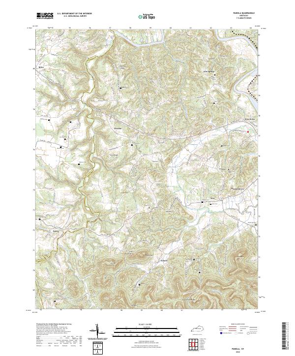 2022 Panola2022 Print · USGSThe rugged knobs and ridges of Estill and Madison counties are captured here in the early twenty-first century. Genealogists can locate family burial grounds like Newman Cem and Hubbard Cem near settlements like Panola and Winston.
 - 2022 Map of Kirksville, 2022 Print
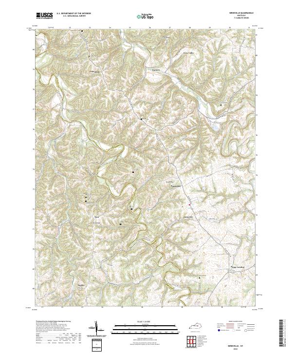 2022 Kirksville2022 Print · USGSMadison and Garrard counties meet along these ridgelines south of Richmond in the early twenty-first century. Genealogists can trace family heritage through numerous rural burial sites like Poosey Cem, Coy Cem, and Wheeler Cem.
 - 2022 Map of Valley View, 2022 Print
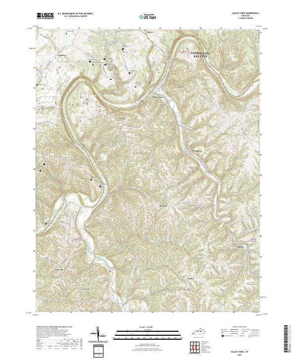 2022 Valley View2022 Print · USGSThe Kentucky River corridor south of Lexington-Fayette comes to life on this map, showing the rural communities of Madison and Jessamine Counties in the 2020s. Genealogists can trace family heritage through numerous pioneer burial sites like Walker-Hale Cem, Fain-Blakeman Cem, and Antioch Church.
 - 2022 Map of Palmer, 2022 Print
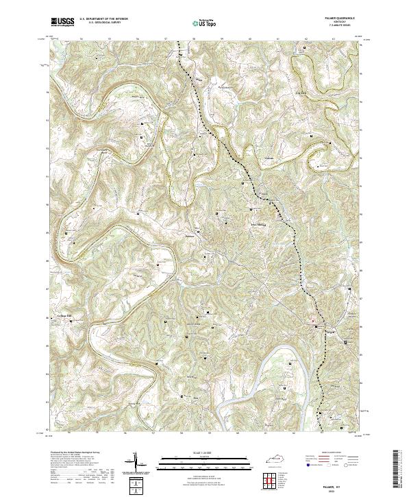 2022 Palmer2022 Print · USGSThe Kentucky River valley and its sharp ridges are documented here in the early twenty-first century. Genealogists can trace family burial sites like Richardson Cemetery and Brock Cem or visit the College Hill Church-Cem and Log Lick settlements.
 - 2022 Map of Union City, 2022 Print
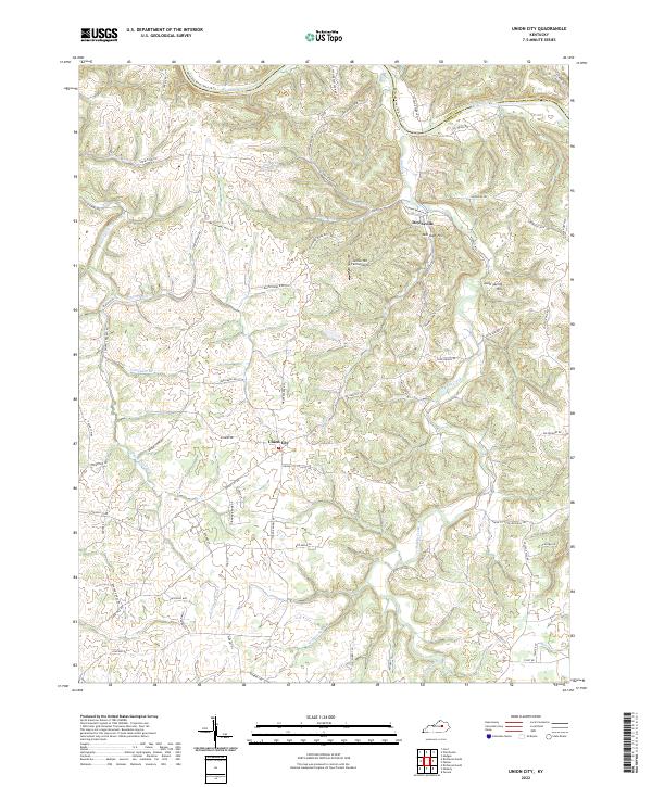 2022 Union City2022 Print · USGSMadison County transitions from the Kentucky River bluffs to a network of upland farms and creek valleys in the early 2020s. Genealogists and local researchers can trace family-named routes and landmarks like Doylesville, Mill Dam Hill, and the Jordan Hill Farm Airport.
 - 2022 Map of Buckeye, 2022 Print
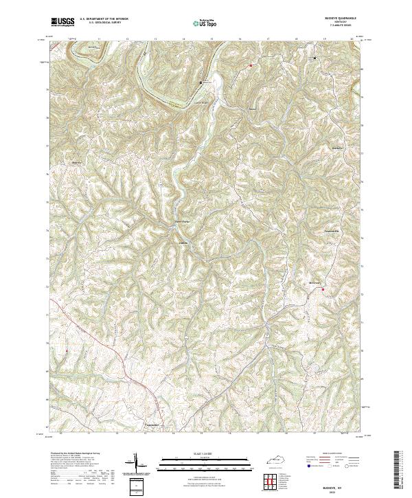 2022 Buckeye2022 Print · USGSGarrard County's dissected uplands and river bluffs are documented here during the early twenty-first century. Researchers can trace rural lineages through local landmarks like Gunns Chapel Cem and small communities such as Teatersville and Buckeye.
 - 2022 Map of Moberly, 2022 Print
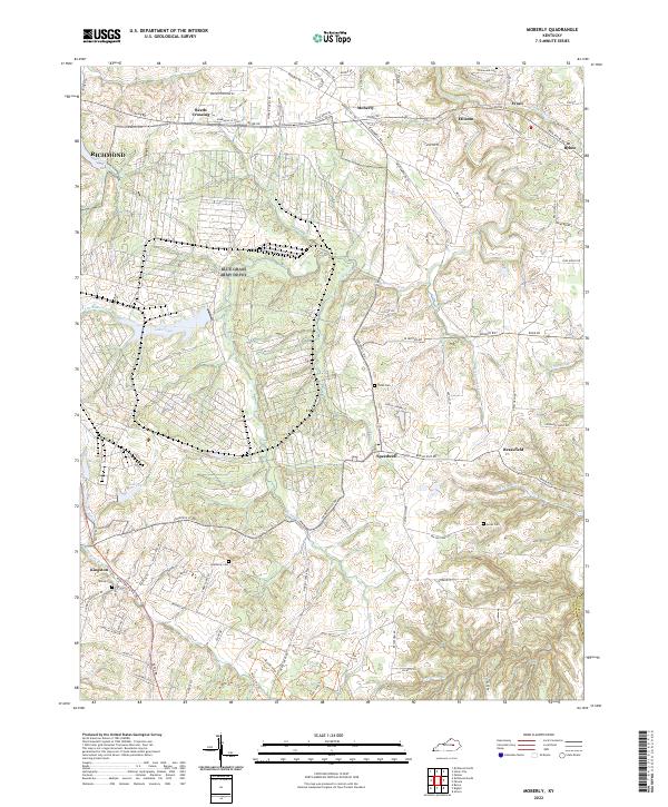 2022 Moberly2022 Print · USGSMadison County's rural landscape is captured here in the early 2020s, showing a network of small settlements and family farms. Genealogists can locate several local burial grounds, including Jones Cem and Moody Cem, alongside historic hubs like Bybee and Brassfield.
 - 2022 Map of Ford, 2022 Print
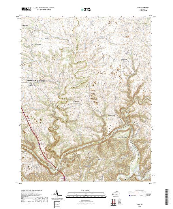 2022 Ford2022 Print · USGSThe Kentucky River corridor comes into focus in this contemporary survey of the Clark and Madison county borderlands. Genealogists can trace family footprints through historic hamlets like Boonesborough, Ford, and Locust Grove.
 - 2022 Map of Berea, 2022 Print
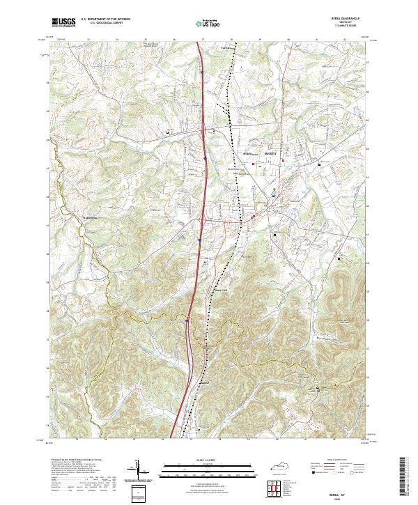 2022 Berea2022 Print · USGSMadison County transitions from the historic campus of Berea College into the rugged knobs and hollows of the Cumberland Plateau. Genealogists can trace family landmarks and burial sites like Todd Cem, Davis-Witt Cem, and the old settlement of Wallaceton.
 - 2022 Map of Paint Lick, 2022 Print
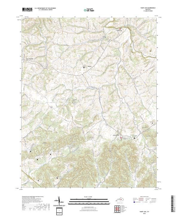 2022 Paint Lick2022 Print · USGSGarrard and Madison counties meet along the banks of Paint Lick Creek in this contemporary record of Kentucky's knob country. Genealogists can locate numerous rural burial sites like Carpenter Cem and Vanhock Cem tucked among landmarks such as Pine Knob.
 - 2022 Map of Richmond North, 2022 Print
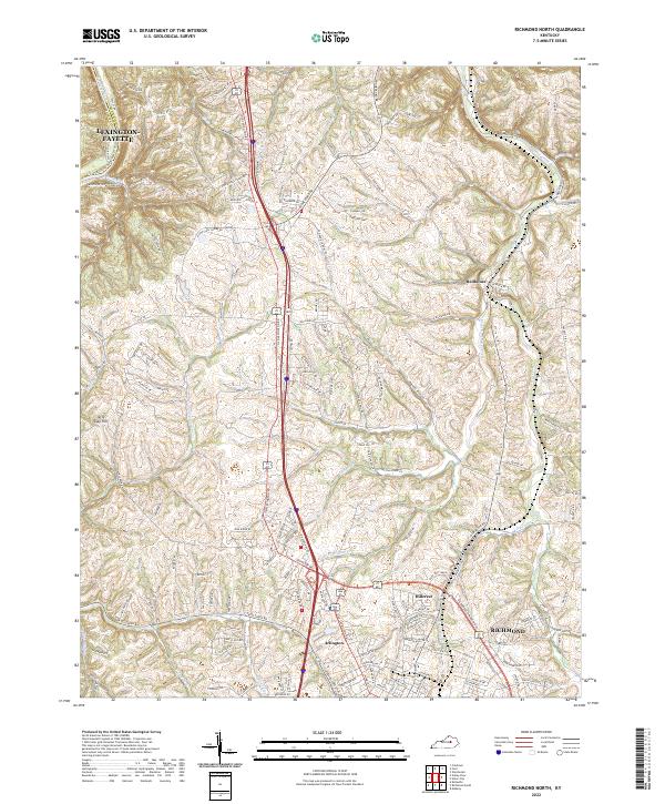 2022 Richmond North2022 Print · USGSMadison County's northern landscape transitions from the growing city of Richmond to the river bluffs during the early 2020s. Researchers can trace the modern development around Hillerest or explore the rural valley networks near Redhouse and the Kentucky River.
 - 2022 Map of Little Hickman, 2022 Print
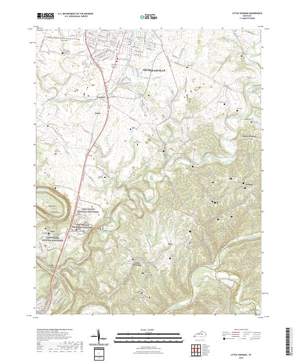 2022 Little Hickman2022 Print · USGSThe outskirts of Nicholasville and the Kentucky River palisades are captured here in the early twenty-first century. Genealogists can trace decades of local history through family-named sites like Hogan Family Cemetery and the Land-Willis Cemetery near Little Hickman.
 - 2022 Map of Bighill, 2022 Print
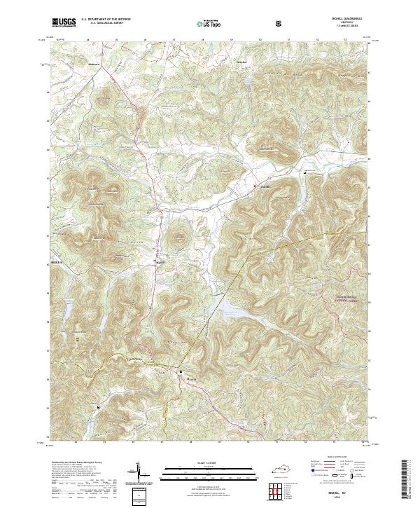 2022 Bighill2022 Print · USGSThe foothills of the Cumberland Plateau meet the Kentucky Bluegrass in the early 2020s, revealing a landscape of high pinnacles and deep-cut hollows. Researchers can trace rural lineages through sites like Red Lick Cem, Burnt Bridge, and the historic crossroads of Bighill and Dreyfus.
 - 2022 Map of Alcorn, 2022 Print
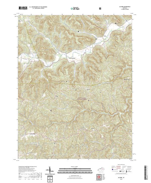 2022 Alcorn2022 Print · USGSThe Kentucky hills where Madison, Estill, and Jackson Counties converge appear in high detail during this contemporary era. Genealogists and local historians can trace family locations through numerous named burial sites like Skinner Cem, Gum Cem, and Isaacs Cem.
 - 2022 Map of Winchester, 2022 Print
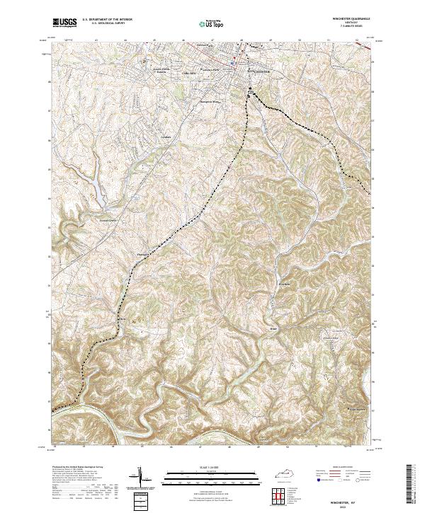 2022 Winchester2022 Print · USGSWinchester and the surrounding Clark County countryside are captured here in the early 2020s as the city expands toward the Kentucky River. Trace local lineage and landmarks through Daniel Grove Cem, Winchester Reservoir, and the old settlement at Flanagan.
 - 2022 Map of Coletown, 2022 Print
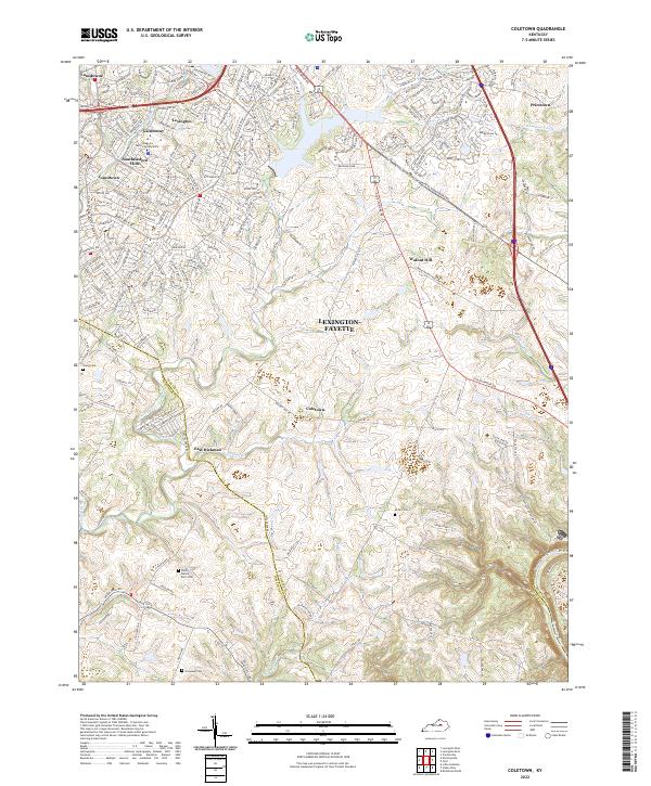 2022 Coletown2022 Print · USGSThe Lexington-Fayette outskirts meet the Kentucky River bluffs in the early 2020s as suburban growth reaches historical rural crossroads. Genealogists can trace family landmarks like Bronaugh Cem and McNeil Cem near Coletown and Walnut Hill.
 - 2022 Map of Richmond South, 2022 Print
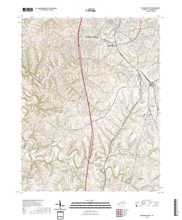 2022 Richmond South2022 Print · USGSMadison County, Kentucky, thrives in the modern era as a hub of education and transport between the population centers. Researchers can trace family sites at Haines Cemetery or explore the rural outskirts of Peytontown, Caleast, and Buggytown.
End of results
Showing maps 1-17 of 17
Top cities of Madison County
Frequently asked questions
- What are the different types of historical maps available for Madison County?
- What is the oldest map of Madison County?
- Where can I purchase historical maps of Madison County for my home or office?
- Where can I download high-res historical maps of Madison County?
- Are there historical topographic maps available for Madison County?
- Is there historical aerial imagery available for Madison County?
- Where are historical maps of Madison County sourced from?