2000s (21st Century) Maps of Richmond, Kentucky
Explore 20 historic maps of Richmond from the 2000s (21st Century). These maps offer a rare glimpse into what life looked like during the 2000s — showing old roads, neighborhoods, homes, and landmarks that have changed or disappeared over time.
Whether you're researching your family's past, planning a metal detecting trip, or studying how Richmond's landscape evolved across the 2000s, these high-resolution maps are a powerful tool for exploring the history of this region.
- Focus on a specific era: All maps on this page are from the 2000s, giving you a focused view of this time period.
- See what’s changed: Compare century-old streets, trails, and buildings to today's modern landscape using overlays and satellite layers.
- Research with precision: Use these maps for genealogy, historical research, land use analysis, or educational projects.
- View, download, or print: Maps are fully viewable online in high resolution, and can be downloaded or printed for your own records.
Start exploring Richmond's history through authentic maps from the 2000s. This is your window into the past.
Richmond, KY maps
(20)- 2010 Map of Berea, 2010 Print
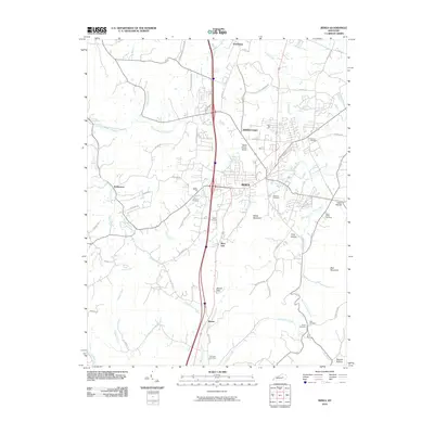 2010 Berea2010 Print · USGSBerea and its surrounding Madison County highlands are captured here in the early twenty-first century. Researchers can locate numerous family burial sites like Todd Cemetery and Witt Cemetery or trace landmarks like Boone Gap.
 - 2010 Map of Richmond South, 2010 Print
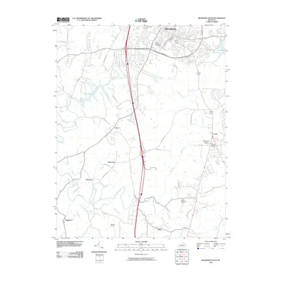 2010 Richmond South2010 Print · USGSMadison County in the early twenty-first century reveals the meeting point of campus life and rural heritage south of the county seat. Researchers can trace historic family-named settlements like Peytontown and Buggytown alongside the sprawling grounds of Eastern Kentucky University.
 - 2010 Map of Moberly, 2010 Print
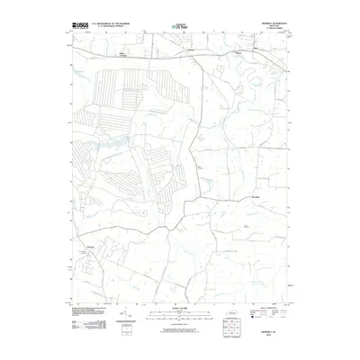 2010 Moberly2010 Print · USGSMadison County at the turn of the decade is defined by rural crossroads and winding creek systems. Genealogists and local historians can trace burial sites like Moody Cemetery and Jones Cemetery or the community centers of Waco and Elliston.
 - 2010 Map of Richmond North, 2010 Print
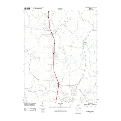 2010 Richmond North2010 Print · USGSMadison and Fayette counties north of Richmond show a landscape where historic pioneer paths meet modern growth. Genealogists and historians can trace routes like the Old Daniel Boone Rd and Old Wilderness Trl near settlements at White Hall and Redhouse.
 - 2013 Map of Richmond North, 2013 Print
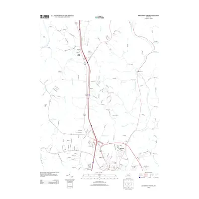 2013 Richmond North2013 Print · USGSMadison County at the start of the 2010s shows a landscape of modern residential growth alongside historic landmarks like the White Hall State Shrine. Researchers can trace old watercourses like Irvine Lick and locate settlements such as Redhouse and Blue Grass.
 - 2013 Map of Richmond South, 2013 Print
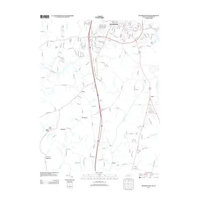 2013 Richmond South2013 Print · USGSMadison County south of Richmond shows a landscape in transition during the early twenty-first century. Researchers can trace the development of local hubs like Caleast, Peytontown, and Duncanon along with landmarks such as Madison Airport and Lake Reba.
 - 2013 Map of Berea, 2013 Print
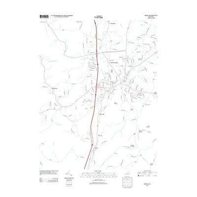 2013 Berea2013 Print · USGSMadison County at the start of the 2010s shows a landscape where historic Kentucky settlements meet modern regional growth. Researchers can trace the development of Middletown and Farristown, or locate family-named landmarks like Dead Horse Knob and Welch Mountain.
 - 2013 Map of Moberly, 2013 Print
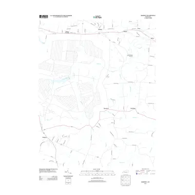 2013 Moberly2013 Print · USGSMadison County agriculture and rural communities are preserved here in the early twenty-first century. Trace local family history and land use through Moberly, Waco, and the Eastern Kentucky University Meadow Brook Farm.
 - 2016 Map of Moberly, 2016 Print
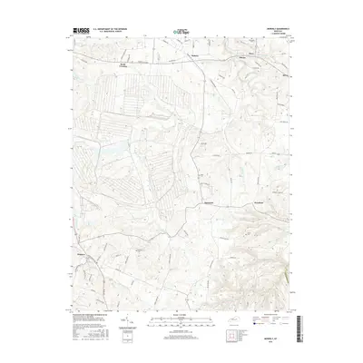 2016 Moberly2016 Print · USGSMadison County, Kentucky, is shown in the mid-2010s as a landscape of rural crossroads and winding creek valleys. Genealogists can locate family burial grounds like Moody Cem and Heatherly Cem while tracing early routes through Speedwell and Brassfield.
 - 2016 Map of Richmond North, 2016 Print
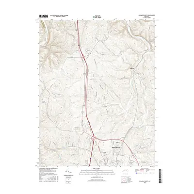 2016 Richmond North2016 Print · USGSMadison and Fayette counties meet along the Kentucky River in this mid-2010s survey of the Bluegrass region. Local historians can trace the northern expansion of RICHMOND into Arlington or find family landmarks like Jerry Clay Hill and Redhouse.
 - 2016 Map of Berea, 2016 Print
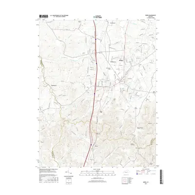 2016 Berea2016 Print · USGSBerea and its namesake college are central to this mid-2010s survey of the Madison County foothills. Researchers can trace family history through several local burial sites like Ogg Cem and Williams Cem or locate the rural settlement at Wallaceton.
 - 2016 Map of Richmond South, 2016 Print
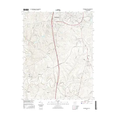 2016 Richmond South2016 Print · USGSMadison County at the turn of the millennium shows the expansion of Richmond alongside established rural communities. Genealogists and historians can trace family locations near Peytontown, Buggytown, and the Blue Grass Memorial Cemetery.
 - 2019 Map of Moberly, 2019 Print
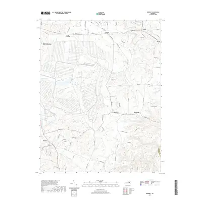 2019 Moberly2019 Print · USGSMadison County farmland and the rural communities east of Richmond are documented in this recent survey. Genealogists and local historians can trace family-named sites like Jones Cem, Moody Cem, and the settlements of Speedwell and Moberly.
 - 2019 Map of Berea, 2019 Print
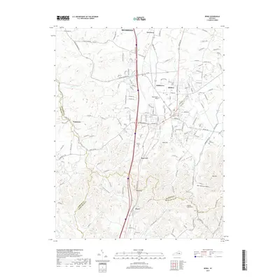 2019 Berea2019 Print · USGSBerea and the Madison County Knobs are captured in the late twenty-teens, showing the complex topography where three counties meet. Genealogists and local historians can trace family locations near Ogg Cem, the settlement of Slate Lick, and landmarks like Boone Gap.
 - 2019 Map of Richmond North, 2019 Print
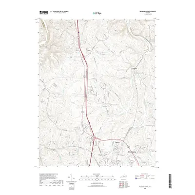 2019 Richmond North2019 Print · USGSMadison County and the northern edges of Richmond are captured here in the late 2010s as suburban development meets the historic Bluegrass farmland. Genealogists and local researchers can trace the neighborhoods of Hillcrest and Arlington or locate family landmarks like Jerry Clay Hill and Redhouse.
 - 2019 Map of Richmond South, 2019 Print
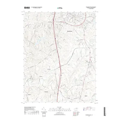 2019 Richmond South2019 Print · USGSMadison County at the end of the 2010s shows the growing connection between Richmond and Berea. Researchers can trace the rural evolution of settlements like Caleast and Peytontown or locate family sites like Haines Cem and Cochran Cem.
 - 2022 Map of Moberly, 2022 Print
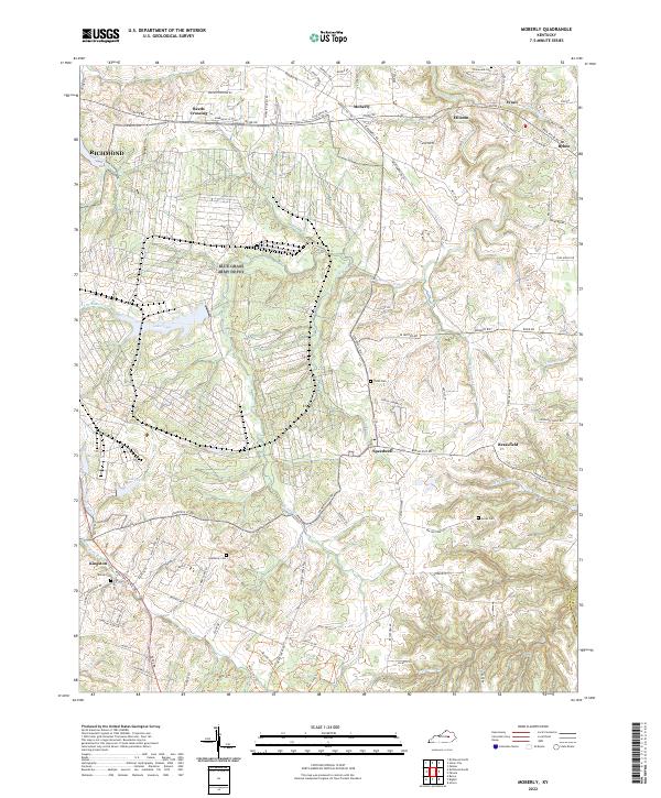 2022 Moberly2022 Print · USGSMadison County's rural landscape is captured here in the early 2020s, showing a network of small settlements and family farms. Genealogists can locate several local burial grounds, including Jones Cem and Moody Cem, alongside historic hubs like Bybee and Brassfield.
 - 2022 Map of Berea, 2022 Print
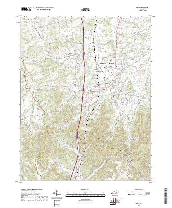 2022 Berea2022 Print · USGSMadison County transitions from the historic campus of Berea College into the rugged knobs and hollows of the Cumberland Plateau. Genealogists can trace family landmarks and burial sites like Todd Cem, Davis-Witt Cem, and the old settlement of Wallaceton.
 - 2022 Map of Richmond North, 2022 Print
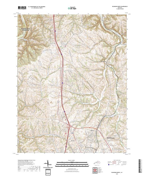 2022 Richmond North2022 Print · USGSMadison County's northern landscape transitions from the growing city of Richmond to the river bluffs during the early 2020s. Researchers can trace the modern development around Hillerest or explore the rural valley networks near Redhouse and the Kentucky River.
 - 2022 Map of Richmond South, 2022 Print
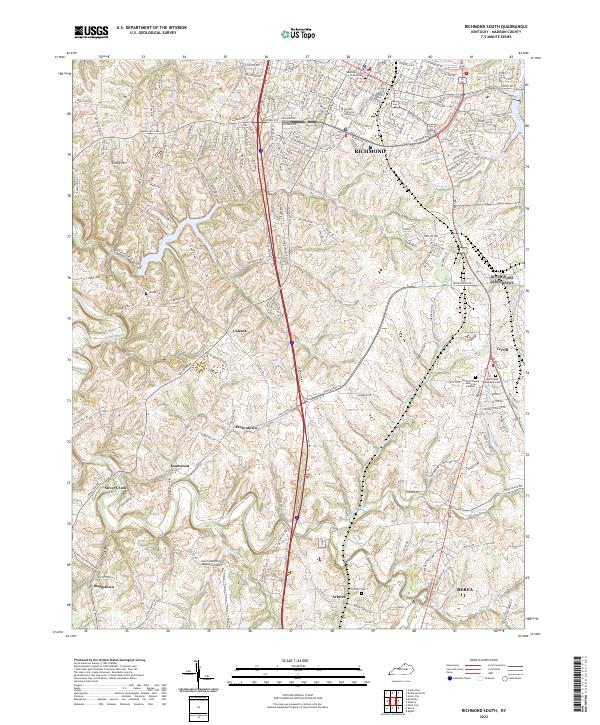 2022 Richmond South2022 Print · USGSMadison County, Kentucky, thrives in the modern era as a hub of education and transport between the population centers. Researchers can trace family sites at Haines Cemetery or explore the rural outskirts of Peytontown, Caleast, and Buggytown.
End of results
Showing maps 1-20 of 20
Top cities near Richmond
Top neighborhoods of Richmond
Frequently asked questions
- What are the different types of historical maps available for Richmond?
- What is the oldest map of Richmond?
- Where can I purchase historical maps of Richmond for my home or office?
- Where can I download high-res historical maps of Richmond?
- Are there historical topographic maps available for Richmond?
- Is there historical aerial imagery available for Richmond?
- Where are historical maps of Richmond sourced from?