Old Maps of Briensburg, Kentucky for Academic Research
Study the evolution of Briensburg with 13 high-resolution historic maps. Whether you're teaching, researching, or modeling changes in land use, these maps provide essential visual documentation of urban, environmental, and geographic change.
- Analyze long-term change: Track patterns in development, transportation, and natural features.
- Ideal for environmental or urban studies: Support academic projects with primary historical map data.
- Use in the classroom or lab: Educators and researchers rely on these maps to bring historical context to life.
These maps are a powerful tool for teaching, research, and visualizing how Briensburg has changed over the decades.
Briensburg, KY maps
(13)- 1936 Map of Benton
 1936 Benton1936 Print · USGSWestern Kentucky's rural Marshall County is captured here in the mid-1930s, showing a landscape defined by river fords and small family settlements. Genealogists can trace hundreds of specific locations, from C C C Camp No 519 to Oak Level and Tatumsville.
 - 1936 Map of Briensburg
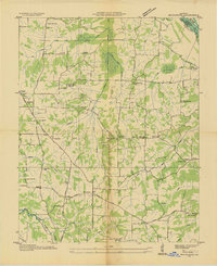 1936 Briensburg1936 Print · USGSWestern Kentucky’s rural landscape comes alive in this mid-1930s survey of Marshall County. Genealogists can trace family roots through numerous country schools and cemeteries like Lone Valley Sch, Stice Sch, and the Dees Cem.
 - 1938 Map of Briensburg
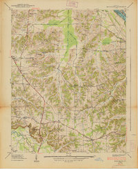 1938 Briensburg1938 Print · USGSBefore the major dams changed the river valley, this 1930s survey captures Marshall County at the height of its rural settlement. Genealogists can trace family names at Wilson Cem or Dees Cem and find local landmarks like Stahl Sch and Provine Chapel.
 - 1955 Map of Briensburg, 1956 Print
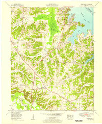 1955 Briensburg1956 Print · USGSMid-century Marshall County was a landscape of emerging lakeside recreation and managed wetlands following the creation of Kentucky Lake. Genealogists can locate family landmarks like Ruggles Cem and Zion Cause Ch or trace the early path of the Jefferson Davis Highway.2 unique versions available
 - 1955 Map of Benton, 1957 Print
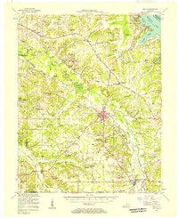 1955 Benton1957 Print · USGSWestern Kentucky in the mid-fifties shows a landscape redefined by the rising waters of Kentucky Lake and the legacy of the Kentucky Dam. Genealogists can trace family names through dozens of rural landmarks like Church Grove Ch, Oak Level Sch, and Steam Mill Bend.
 - 1956 Map of Dyersburg, 1960 Print
 1956 Dyersburg1960 Print · USGSThe Four Rivers region comes alive in the mid-fifties, capturing the intricate borderlands of Tennessee, Kentucky, and Missouri. Genealogists and historians can trace the rail-and-river networks connecting Dyersburg, Caruthersville, and the shoreline of Reelfoot Lake.4 unique versions available
 - 1969 Map of Briensburg, 1970 Print
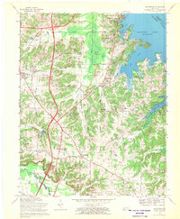 1969 Briensburg1970 Print · USGSThe Tennessee River shoreline of Marshall County is captured here during the late sixties as modern highways reshaped the local economy. Researchers can trace ancestral sites at Birmingham Cem and McNatt Cem or locate landmarks like the Drive-in Theater.
 - 1986 Map of Murray
 1986 Murray1986 Print · USGSWestern Kentucky in the mid-1980s reveals a landscape defined by the Tennessee and Cumberland rivers. Genealogists and historians can trace rail-town development along the Illinois Central Gulf RR and find family-named locations like Dukedom and Water Valley.2 unique versions available
 - 2010 Map of Briensburg, 2010 Print
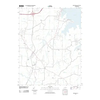 2010 Briensburg2010 Print · USGSKentucky Lake and its surrounding cabin communities come into focus in this Marshall County survey from 2010. Researchers can trace numerous local lineages through family burial sites like Wilson Cemetery and Hartsfield Cemetery or explore the settlement at Scale.
 - 2013 Map of Briensburg, 2013 Print
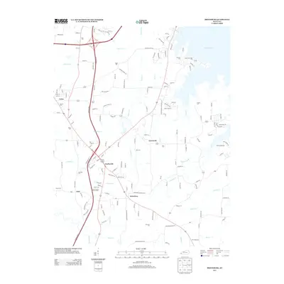 2013 Briensburg2013 Print · USGSMarshall County settlement and recreation meet in this study of Briensburg and Draffenville during the early 2010s. Researchers can locate numerous local burial grounds like McNatt Cem and trace the winding course of Cypress Creek to the lake.
 - 2016 Map of Briensburg, 2016 Print
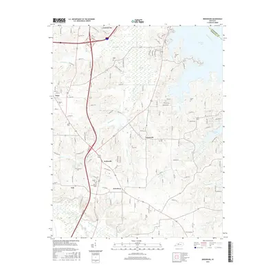 2016 Briensburg2016 Print · USGSMarshall County is captured here in the mid-2010s, showing the intersection of major highway transit and the quiet waters of Kentucky Lake. Researchers can trace local lineage through several burial sites including Old Union Cem and the Mcnatt Cem near Briensburg.
 - 2019 Map of Briensburg, 2019 Print
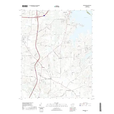 2019 Briensburg2019 Print · USGSMarshall County in the late twenty-teens is a landscape where established towns like Briensburg and Draffenville meet the waters of Kentucky Lake. Genealogists and local historians can locate numerous family burial sites, including Old Union Cem, Dees Cem, and the Marshall County Memory Garden.
 - 2022 Map of Briensburg, 2022 Print
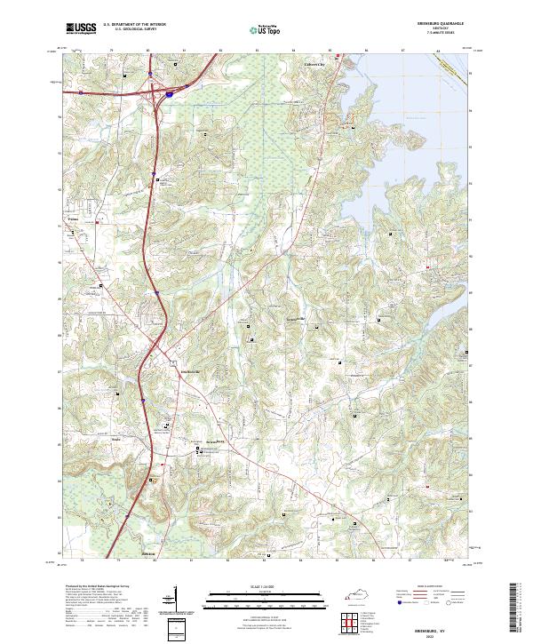 2022 Briensburg2022 Print · USGSMarshall County's lakefront and rural interior are captured here in the early twenty-first century, showing the intersection of major interstates and historic settlements. Genealogists can locate numerous community landmarks like Birmingham Cem, Bethel Cem, and the village of Tatumsville.
End of results
Showing maps 1-13 of 13
Top cities near Briensburg
- Reidland historical maps
- Benton historical maps
- Calvert City historical maps
- Eddyville historical maps
- Kuttawa historical maps
- Hardin historical maps
See more
Frequently asked questions
- What are the different types of historical maps available for Briensburg?
- What is the oldest map of Briensburg?
- Where can I purchase historical maps of Briensburg for my home or office?
- Where can I download high-res historical maps of Briensburg?
- Are there historical topographic maps available for Briensburg?
- Is there historical aerial imagery available for Briensburg?
- Where are historical maps of Briensburg sourced from?