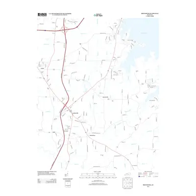
2013 Map of Briensburg
USGS Topo · Published 2013About this map
Briensburg and Draffenville anchor this Marshall County landscape along the Purchase Pkwy, where the terrain transitions from the lowlands of the Clarks River to the indented shoreline of Kentucky Lake. The map reveals a high density of small family and community burial sites, including Ruggle Cem, Dees Cem, and the Marshall County Memory Garden. These sites are linked by a network of rural routes like Old Briensburg-Gilbertsville Rd and Donohoo Powell RD, tracing the settlement patterns of the Jackson Purchase region. Near the water, the Sledd Creek Cabin Area and Marshall Cabin Area highlight the early 21st-century recreational character of the lakefront, while inland, numerous creeks such as Bloodyshin Cr and Little Bear Cr drain the wooded uplands toward the major river systems.
Find a feature on this map
154 named features on this map. Tap any name to fly to it.
Don’t see what you’re looking for? This feature index may not catch every label — zoom into the map to look around manually.
Map Details
Editions of this 2013 Briensburg Map
This is the sole edition of this map. No revisions or reprints were ever made.
Other maps of this area

1928 · Eddyville
USGS Topo · 1:48,000

1929 · Smithland
USGS Topo · 1:62,500

1931 · Eddyville
USGS Topo · 1:62,500

1936 · Oak Level
USGS Topo · 1:24,000

1936 · Elva
USGS Topo · 1:24,000

1936 · Eddyville
USGS Topo · 1:48,000

1936 · Grand Rivers
USGS Topo · 1:24,000

1936 · Hardin
USGS Topo · 1:24,000

1936 · Smithland
USGS Topo · 1:48,000

1936 · Hiatt
USGS Topo · 1:24,000