Old Maps of Calvert City, Kentucky for Metal Detecting
Plan your next treasure hunt with 50 historic maps of Calvert City. Find old homesites, ghost towns, trails, and gathering spots that may be lost to time — perfect for identifying promising metal detecting locations.
- Locate forgotten sites: Uncover places like long-lost settlements, abandoned rail lines, or gathering spots.
- Plan better hunts: Use map overlays combined with LiDAR or satellite views to narrow in on historically rich areas.
- Made for detectorists: Thousands of hobbyists use these maps to discover relics, coins, and hidden history.
Use these historic maps to boost your research and find new opportunities beneath the surface of Calvert City.
Calvert City, KY maps
(50)- 1929 Map of Smithland
 1929 Smithland1929 Print · USGSThe convergence of the Ohio, Tennessee, and Cumberland Rivers defines this late 1920s survey of the Kentucky-Illinois border. Genealogists and researchers can trace riverside life through Haddox Ferry, Smithland, and vanished schoolhouses like Yellowbird Sch.3 unique versions available
 - 1936 Map of Elva
 1936 Elva1936 Print · USGSMarshall and McCracken Counties were deeply agricultural and river-dependent in the mid-1930s. Researchers can trace family homesteads near Mt Moriah Ch, navigate the rail stops at Elva, or locate vanished crossings like Harris Hill Ford.
 - 1936 Map of Smithland
 1936 Smithland1936 Print · USGSThe confluence of the Ohio and Tennessee Rivers is captured here in the mid-1930s, documenting a landscape of river-dependent towns and rural school districts. Genealogists can locate family sites like Sleeper Cemetery or Thompson Chapel and trace the original path of the Illinois Central Railroad.
 - 1936 Map of Benton
 1936 Benton1936 Print · USGSWestern Kentucky's rural Marshall County is captured here in the mid-1930s, showing a landscape defined by river fords and small family settlements. Genealogists can trace hundreds of specific locations, from C C C Camp No 519 to Oak Level and Tatumsville.
 - 1936 Map of Calvert City
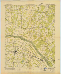 1936 Calvert City1936 Print · USGSMarshall and Livingston counties are captured in the mid-1930s before dam construction permanently altered the Tennessee River valley. Genealogists can locate family landmarks like Cothran Cem, Driskill Sch, and river crossings at Haddox Ferry.
 - 1936 Map of Little Cypress
 1936 Little Cypress1936 Print · USGSThe Ohio and Tennessee Rivers meet amidst a network of rural settlements in the mid-1930s. Researchers can trace family sites like Little Cypress or locate Kincaid Mounds and early churches like Chestnut Hill Ch.
 - 1936 Map of Briensburg
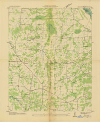 1936 Briensburg1936 Print · USGSWestern Kentucky’s rural landscape comes alive in this mid-1930s survey of Marshall County. Genealogists can trace family roots through numerous country schools and cemeteries like Lone Valley Sch, Stice Sch, and the Dees Cem.
 - 1938 Map of Briensburg
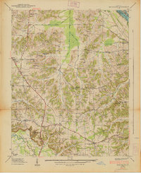 1938 Briensburg1938 Print · USGSBefore the major dams changed the river valley, this 1930s survey captures Marshall County at the height of its rural settlement. Genealogists can trace family names at Wilson Cem or Dees Cem and find local landmarks like Stahl Sch and Provine Chapel.
 - 1942 Map of Smithland, 1957 Print
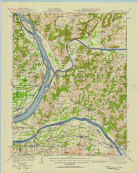 1942 Smithland1957 Print · USGSWestern Kentucky's river-driven economy is on full display during the early 1940s as the Ohio, Cumberland, and Tennessee rivers converge. Researchers can trace historic river crossings like Haddox Ferry and find family landmarks at Kincaid Mounds or the Klondike Mine.
 - 1949 Map of Paducah
 1949 Paducah1949 Print · USGSThe confluence of the Ohio, Mississippi, Tennessee, and Cumberland rivers at the close of the 1940s reveals a region bound by water and rail. Researchers can trace historic river landings, timberlands in the Shawnee National Forest, and the coal-mining infrastructure around West Frankfort and Herrin.2 unique versions available
 - 1950 Map of Paducah
 1950 Paducah1950 Print · USGSThe confluence of the great midwestern rivers defines this mid-century landscape at the intersection of Illinois, Kentucky, and Missouri. Genealogists and historians can trace the rail-and-river economy through the hubs of Paducah, Cairo, and Metropolis or locate family roots near the Wildcat Hills.
 - 1951 Map of Elva, 1956 Print
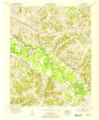 1951 Elva1956 Print · USGSWestern Kentucky's rural river bottoms and early highway corridors are captured here in the early fifties. Genealogists can trace family landmarks and community centers such as Bethlehem Ch, Belton Cem, and the crossing at McCoy Ford Bridge.2 unique versions available
 - 1954 Map of Paducah
 1954 Paducah1954 Print · USGSSouthern Illinois and Western Kentucky intersect at the great river confluences during this mid-century era of rail and river industry. Genealogists and historians can trace family roots and commerce through river towns like Cairo, Metropolis, and Golconda, or along the tracks of the Illinois Central Railroad.2 unique versions available
 - 1954 Map of Little Cypress, 1956 Print
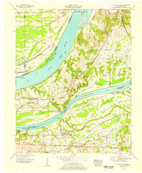 1954 Little Cypress1956 Print · USGSThe confluence of the great rivers in Western Kentucky and Southern Illinois is captured here in the mid-1950s. Trace family roots and local industry at Kincaid Mounds, the community of Possum Trot, and along the tracks of the ILLINOIS CENTRAL.
 - 1955 Map of Briensburg, 1956 Print
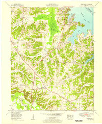 1955 Briensburg1956 Print · USGSMid-century Marshall County was a landscape of emerging lakeside recreation and managed wetlands following the creation of Kentucky Lake. Genealogists can locate family landmarks like Ruggles Cem and Zion Cause Ch or trace the early path of the Jefferson Davis Highway.2 unique versions available
 - 1955 Map of Calvert City, 1956 Print
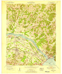 1955 Calvert City1956 Print · USGSMid-century Marshall County is caught between its rural roots and a burgeoning industrial future along the Tennessee River. Researchers can trace the legacy of local families at Wells Cem and Landrum Cem or locate former landmarks like Lutus Store.
 - 1955 Map of Benton, 1957 Print
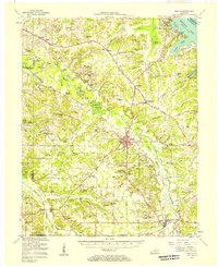 1955 Benton1957 Print · USGSWestern Kentucky in the mid-fifties shows a landscape redefined by the rising waters of Kentucky Lake and the legacy of the Kentucky Dam. Genealogists can trace family names through dozens of rural landmarks like Church Grove Ch, Oak Level Sch, and Steam Mill Bend.
 - 1956 Map of Dyersburg, 1960 Print
 1956 Dyersburg1960 Print · USGSThe Four Rivers region comes alive in the mid-fifties, capturing the intricate borderlands of Tennessee, Kentucky, and Missouri. Genealogists and historians can trace the rail-and-river networks connecting Dyersburg, Caruthersville, and the shoreline of Reelfoot Lake.4 unique versions available
 - 1958 Map of Calvert City, 1959 Print
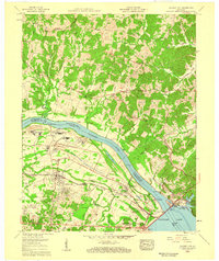 1958 Calvert City1959 Print · USGSMarshall County's riverfront was undergoing a massive transformation in the late fifties as industrial growth took hold near the new reservoirs. Genealogists and historians can trace family burial grounds like Wells Cem and Duke Cem alongside the heavy engineering of Kentucky Dam and the Illinois Central railroad.3 unique versions available
 - 1958 Map of Little Cypress, 1959 Print
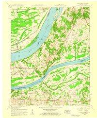 1958 Little Cypress1959 Print · USGSLivingston and Marshall Counties meet at the river forks in the late fifties, showing a landscape shaped by the Ohio River and Tennessee River. You can trace family roots at Vaughn Chapel or Oak Grove Cem and locate the rail lines through Little Cypress.2 unique versions available
 - 1961 Map of Paducah
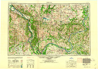 1961 Paducah1961 Print · USGSThe Lower Ohio Valley at mid-century is a landscape defined by its great rivers and newly formed reservoirs. Researchers can trace the riverfronts of Paducah and Metropolis, or locate smaller settlements like Old Shawneetown and Cave in Rock along the banks.2 unique versions available
 - 1964 Map of Paducah
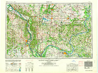 1964 Paducah1964 Print · USGSThe river-and-rail corridor of Southern Illinois and Western Kentucky is captured here during the height of the mid-century industrial era. Genealogists and researchers can trace local landmarks across several counties, from the rail yards of Paducah to the waters of Crab Orchard Lake and Kentucky Reservoir.2 unique versions available
 - 1969 Map of Briensburg, 1970 Print
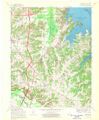 1969 Briensburg1970 Print · USGSThe Tennessee River shoreline of Marshall County is captured here during the late sixties as modern highways reshaped the local economy. Researchers can trace ancestral sites at Birmingham Cem and McNatt Cem or locate landmarks like the Drive-in Theater.
 - 1982 Map of Elva
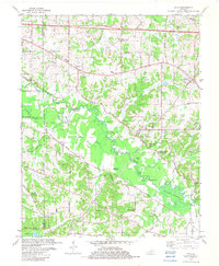 1982 Elva1982 Print · USGSWestern Kentucky in the early eighties reveals a river-linked landscape of family homesteads and small country parishes. Genealogists can trace local roots through Wallace Cem, Feezor Cem, and old church sites like Oakland Ch.
 - 1982 Map of Little Cypress, 1983 Print
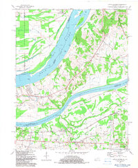 1982 Little Cypress1983 Print · USGSThe confluence of the Ohio and Tennessee Rivers in the early 1980s reveals a landscape shaped by river commerce and rail. Researchers can trace the Illinois Central Gulf Railroad past Kincaid Mounds and old community landmarks like Vaughn Chapel and Possum Trot.
Showing maps 1-25 of 50
Top cities near Calvert City
- Paducah historical maps
- Reidland historical maps
- Benton historical maps
- Kuttawa historical maps
- Smithland historical maps
- Grand Rivers historical maps
Top neighborhoods of Calvert City
Frequently asked questions
- What are the different types of historical maps available for Calvert City?
- What is the oldest map of Calvert City?
- Where can I purchase historical maps of Calvert City for my home or office?
- Where can I download high-res historical maps of Calvert City?
- Are there historical topographic maps available for Calvert City?
- Is there historical aerial imagery available for Calvert City?
- Where are historical maps of Calvert City sourced from?