Old Maps of Harvey, Kentucky for Academic Research
Study the evolution of Harvey with 12 high-resolution historic maps. Whether you're teaching, researching, or modeling changes in land use, these maps provide essential visual documentation of urban, environmental, and geographic change.
- Analyze long-term change: Track patterns in development, transportation, and natural features.
- Ideal for environmental or urban studies: Support academic projects with primary historical map data.
- Use in the classroom or lab: Educators and researchers rely on these maps to bring historical context to life.
These maps are a powerful tool for teaching, research, and visualizing how Harvey has changed over the decades.
Harvey, KY maps
(12)- 1936 Map of Oak Level
 1936 Oak Level1936 Print · USGSIn the mid-thirties, this corner of Kentucky was a patchwork of family farms and rural schools. Genealogists can trace family names through landmarks like Riley Cem, Hale Spring, and many country schools such as Oak Level Sch.
 - 1936 Map of Benton
 1936 Benton1936 Print · USGSWestern Kentucky's rural Marshall County is captured here in the mid-1930s, showing a landscape defined by river fords and small family settlements. Genealogists can trace hundreds of specific locations, from C C C Camp No 519 to Oak Level and Tatumsville.
 - 1951 Map of Oak Level, 1955 Print
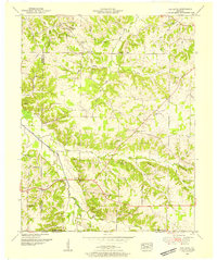 1951 Oak Level1955 Print · USGSIn the early fifties, the rural communities of Marshall and Graves County remained centered on family-named hilltops and country parishes. Genealogists can trace family roots through numerous sites like Bondurant Cem, Oak Level Church, and Harvey.
 - 1955 Map of Benton, 1957 Print
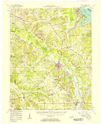 1955 Benton1957 Print · USGSWestern Kentucky in the mid-fifties shows a landscape redefined by the rising waters of Kentucky Lake and the legacy of the Kentucky Dam. Genealogists can trace family names through dozens of rural landmarks like Church Grove Ch, Oak Level Sch, and Steam Mill Bend.
 - 1956 Map of Dyersburg, 1960 Print
 1956 Dyersburg1960 Print · USGSThe Four Rivers region comes alive in the mid-fifties, capturing the intricate borderlands of Tennessee, Kentucky, and Missouri. Genealogists and historians can trace the rail-and-river networks connecting Dyersburg, Caruthersville, and the shoreline of Reelfoot Lake.4 unique versions available
 - 1969 Map of Oak Level, 1971 Print
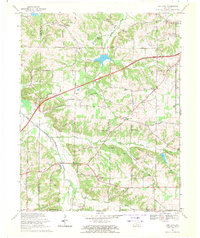 1969 Oak Level1971 Print · USGSSouthwestern Marshall County in the late sixties shows a traditional farming landscape being reshaped by modern infrastructure. Genealogists and local historians can trace family-named sites like Dowdy Cemetery and communities such as Oak Level, Brewers, and Vanzora.2 unique versions available
 - 1986 Map of Murray
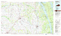 1986 Murray1986 Print · USGSWestern Kentucky in the mid-1980s reveals a landscape defined by the Tennessee and Cumberland rivers. Genealogists and historians can trace rail-town development along the Illinois Central Gulf RR and find family-named locations like Dukedom and Water Valley.2 unique versions available
 - 2010 Map of Oak Level, 2010 Print
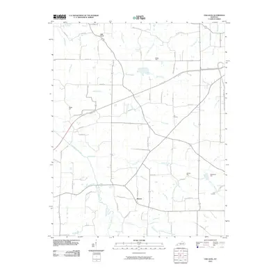 2010 Oak Level2010 Print · USGSWestern Kentucky's rural landscape is captured here in the early twenty-first century as modern highways intersect old community hubs. Researchers can locate family landmarks like Styers Cemetery and Gore Cemetery, or trace the winding course of the West Fork Clarks River past Oak Level.
 - 2013 Map of Oak Level, 2013 Print
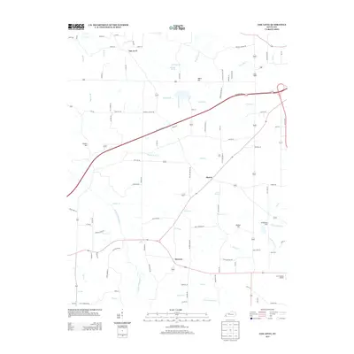 2013 Oak Level2013 Print · USGSMarshall County’s rural character is on display in this early 21st-century study of the land near the West Fork Clarks River. Researchers can locate family landmarks and community centers such as Oak Level, Brewers, and the J & C Antique Airfield.
 - 2016 Map of Oak Level, 2016 Print
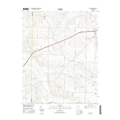 2016 Oak Level2016 Print · USGSMarshall County's rural landscape comes into focus during the mid-2010s, centered on the West Fork Clarks River and its surrounding wetlands. Genealogists and local historians can locate several family cemeteries like Cole Cem and Gore Cem or trace the early paths near Oak Level and Brewers.
 - 2019 Map of Oak Level, 2019 Print
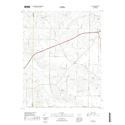 2019 Oak Level2019 Print · USGSMarshall County's rural landscape is captured here in the late twenty-teens, centering on the small communities of Oak Level and Harvey. Genealogists can trace family connections through numerous landmarks like Brewers Cem, Cole Cem, and the historic Stillhouse Spring.
 - 2022 Map of Oak Level, 2022 Print
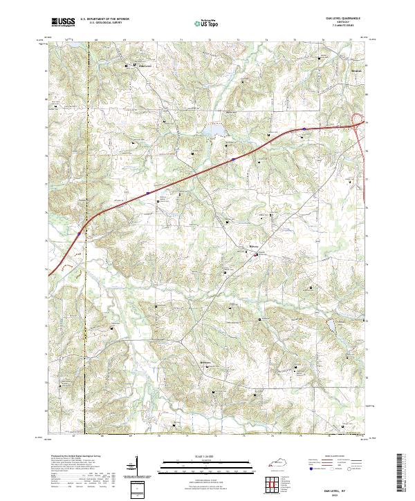 2022 Oak Level2022 Print · USGSWestern Kentucky's rural landscape comes alive in this survey of the communities near the West Fork Clarks River. Researchers can trace family sites across a dense network of country cemeteries and churches, including Oak Level Cem and Vanzora Baptist Church Cem.
End of results
Showing maps 1-12 of 12
Top cities near Harvey
- Murray historical maps
- Mayfield historical maps
- Reidland historical maps
- Benton historical maps
- Calvert City historical maps
- Hardin historical maps
See more
Frequently asked questions
- What are the different types of historical maps available for Harvey?
- What is the oldest map of Harvey?
- Where can I purchase historical maps of Harvey for my home or office?
- Where can I download high-res historical maps of Harvey?
- Are there historical topographic maps available for Harvey?
- Is there historical aerial imagery available for Harvey?
- Where are historical maps of Harvey sourced from?