Old Maps of Minerva, Kentucky for Genealogy
Trace your family roots with 12 historic maps of Minerva. These high-res maps reveal old neighborhoods, homesites, landmarks, and streets — helping you uncover where your ancestors lived and how the area evolved over time.
- Explore historic neighborhoods: Identify where your relatives may have lived in the 1800s or 1900s.
- Compare maps over time: Trace the changes in streets, buildings, and landmarks for multi-generational research.
- Perfect for genealogy & ancestry research: Used by family historians and researchers to map out lineage and migration.
These maps are an incredible resource for exploring your personal connection to Minerva's past.
Minerva, KY maps
(12)- 1915 Map of Maysville, 1962 Print
 1915 Maysville1962 Print · USGSThe Ohio River valley near the Kentucky border comes to life in this survey from the years before the Great War. Genealogists and local historians can trace rural family-named landmarks like Porter Ridge and remote schoolhouses including Stephenson School and Flaugher School.
 - 1919 Map of Maysville, 1936 Print
 1919 Maysville1936 Print · USGSThe Ohio River bluffs above Ripley were a patchwork of ridge-top farms and rural school districts during the early twentieth century. Researchers can trace the paths of old township roads to find Hawk School, the landing at Aberdeen, and family-named landmarks like Flaugher Ridge.
 - 1952 Map of Germantown, 1953 Print
 1952 Germantown1953 Print · USGSBracken and Mason Counties are shown here in the early fifties, where the hill-and-hollow topography dictates the local road network. Genealogists and historians can trace family locations near Germantown, the old Fairgrounds, and rural landmarks like Sharon Ch.2 unique versions available
 - 1957 Map of Huntington, 1966 Print
 1957 Huntington1966 Print · USGSThe industrial heart of the Ohio River valley is captured here in the mid-sixties, showing the growth of Huntington and Ashland. Researchers can trace the extensive rail networks of the Chesapeake and Ohio RR and locate sites like the Chief Cornstalk Hunting Ground.3 unique versions available
 - 1960 Map of Huntington
 1960 Huntington1960 Print · USGSThe tri-state river valley thrived in the late fifties as a hub of heavy industry and Appalachian rail transit. Genealogists and historians can trace the connection between river towns like Ashland and Portsmouth or locate family homesteads near Coleman Ridge.
 - 1986 Map of Maysville
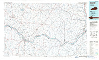 1986 Maysville1986 Print · USGSThe Ohio River valley in the mid-eighties reveals a landscape of industrial river towns and sprawling public lands spanning the Kentucky and Ohio border. Researchers can trace the rail corridors of the Chesapeake and Ohio Railway or locate landmarks like Confidence Cemetery and the Fleming-Mason Airport.
 - 1991 Map of Maysville
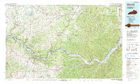 1991 Maysville1991 Print · USGSThe Ohio River valley at the turn of the nineties reveals a landscape of river-bend towns and dense forest preserves. Trace local history through landmark sites like Confidence Cemetery, the small-town streets of Ripley, and the river reaches of Manchester Island No 1.
 - 2010 Map of Germantown, 2010 Print
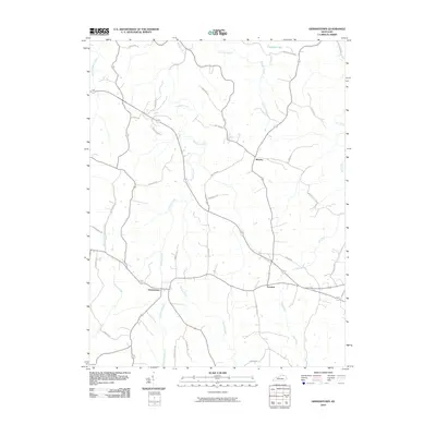 2010 Germantown2010 Print · USGSMason County’s rural crossroads and winding creek valleys are documented here at the start of the twenty-first century. Genealogists and local historians can trace family land near Germantown, Minerva, and Fernleaf, or follow the banks of Bracken Creek.
 - 2013 Map of Germantown, 2013 Print
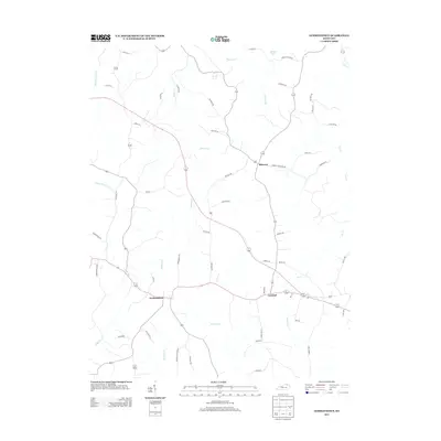 2013 Germantown2013 Print · USGSSettlements in northern Kentucky like Germantown and Minerva are shown here amidst a dense network of namesake rural roads and creek valleys during the early twenty-first century. Researchers can trace family-named landmarks and local drainages like Clarks Run, Jackpot Lake, and Pea Rdg.
 - 2016 Map of Germantown, 2016 Print
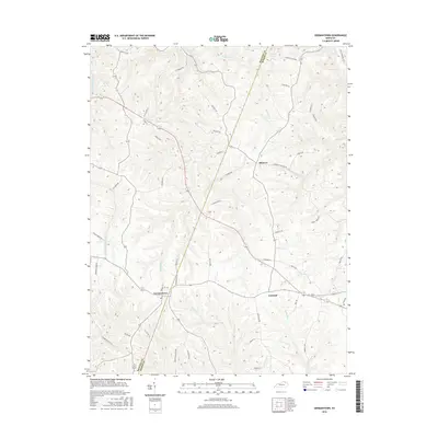 2016 Germantown2016 Print · USGSBracken and Mason counties are shown here as a patchwork of ridgeline farms and deep creek valleys during the mid-2010s. Researchers can trace rural property lines along Minerva Tuckahoe Rd or locate homesteads near Minerva and Germantown.
 - 2019 Map of Germantown, 2019 Print
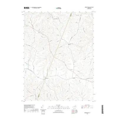 2019 Germantown2019 Print · USGSThe borderlands of Bracken and Mason counties are shown in high detail at the end of the 2010s. Genealogists and local historians can trace family-named routes and landforms from Germantown to Minerva, including Jackpot Lake and Two Lick Creek.
 - 2022 Map of Germantown, 2022 Print
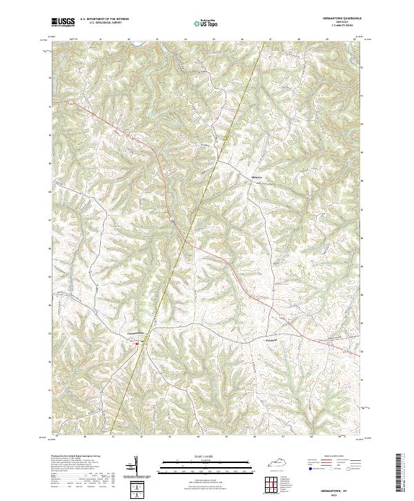 2022 Germantown2022 Print · USGSNorthern Kentucky's agricultural heartland is documented here during the early 2020s, showing the enduring rural layout of the region. Researchers can trace family road names like W Gillespie Ln and T Beckett Rd near Germantown and Minerva.
End of results
Showing maps 1-12 of 12
Top cities near Minerva
- Maysville historical maps
- Georgetown historical maps
- Ripley historical maps
- Aberdeen historical maps
- Augusta historical maps
- Felicity historical maps
See more
Frequently asked questions
- What are the different types of historical maps available for Minerva?
- What is the oldest map of Minerva?
- Where can I purchase historical maps of Minerva for my home or office?
- Where can I download high-res historical maps of Minerva?
- Are there historical topographic maps available for Minerva?
- Is there historical aerial imagery available for Minerva?
- Where are historical maps of Minerva sourced from?