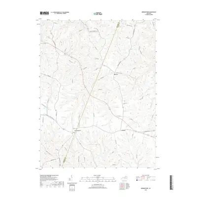
2019 Map of Germantown
USGS Topo · Published 2019About this map
Germantown and Minerva anchor a rolling rural landscape defined by the winding boundary between Bracken and Mason counties. This agricultural pocket is dissected by a dense network of watercourses, including Bracken Creek and Lee Creek, which have shaped the local topography into a series of ridges and hollows. The settlement pattern follows these elevated landforms, with legacy roads like Augusta Minerva Road and Walton Pike connecting dispersed farmsteads and small communities like Fernleaf.
Find a feature on this map
62 named features on this map. Tap any name to fly to it.
Don’t see what you’re looking for? This feature index may not catch every label — zoom into the map to look around manually.
Map Details
Editions of this 2019 Germantown Map
This is the sole edition of this map. No revisions or reprints were ever made.
Other maps of this area

1915 · Maysville
USGS Topo · 1:62,500

1919 · Maysville
USGS Topo · 1:62,500

1928 · Higginsport
USGS Topo · 1:48,000

1931 · Felicity
USGS Topo · 1:62,500

1931 · Higginsport
USGS Topo · 1:62,500

1952 · Germantown
USGS Topo · 1:24,000

1952 · Higginsport
USGS Topo · 1:24,000

1952 · Maysville West
USGS Topo · 1:24,000

1952 · Sardis
USGS Topo · 1:24,000

1952 · Mount Olivet
USGS Topo · 1:24,000