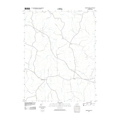
2010 Map of Germantown
USGS Topo · Published 2010About this map
Germantown and Minerva anchor this rural landscape in Mason County, where the topography is defined by a dense network of watercourses and winding ridge roads. During the early twenty-first century, the area maintained its traditional agricultural character, evidenced by the numerous farm lanes and pikes such as Walton Pike and Valley Pike that connect small settlements. The drainage pattern is complex, with Bracken Creek and its namesake Little Bracken Creek carving through the northern section, while Pommel Creek and Two Lick Creek flow south of the main village centers. To the east, Fernleaf sits near the headwaters of Clarks Run, illustrating how early Kentucky settlement was often dictated by the proximity to reliable water sources and the natural contours of the land. This survey provides a clear view of the intersection of historically significant roadways and the intricate creek systems that have shaped the county's boundaries and property lines for generations.
Find a feature on this map
39 named features on this map. Tap any name to fly to it.
Don’t see what you’re looking for? This feature index may not catch every label — zoom into the map to look around manually.
Map Details
Editions of this 2010 Germantown Map
This is the sole edition of this map. No revisions or reprints were ever made.
Other maps of this area

1915 · Maysville
USGS Topo · 1:62,500

1919 · Maysville
USGS Topo · 1:62,500

1928 · Higginsport
USGS Topo · 1:48,000

1931 · Felicity
USGS Topo · 1:62,500

1931 · Higginsport
USGS Topo · 1:62,500

1952 · Germantown
USGS Topo · 1:24,000

1952 · Higginsport
USGS Topo · 1:24,000

1952 · Maysville West
USGS Topo · 1:24,000

1952 · Sardis
USGS Topo · 1:24,000

1952 · Mount Olivet
USGS Topo · 1:24,000