Old Maps of Beulah Heights, Kentucky
Explore 12 old maps of Beulah Heights, spanning from 1890 to today. These high-resolution historic maps reveal how streets, neighborhoods, landmarks, and natural features evolved over time — perfect for genealogy, metal detecting, research, and local history exploration.
What you can do with these maps:
- See how Beulah Heights changed over time: Compare historical maps to modern-day views to trace roads, homesites, rail lines & more.
- View detailed metadata: Each map includes creators, publishers, year, scale, and archive source.
- Overlay maps with satellite & LiDAR: Visualize the past alongside modern tools to explore terrain & human change.
- Trusted historical sources: Maps sourced from the USGS, Library of Congress, and other archives.
- Access maps your way: View online, download high-res files, or order prints for personal or research use.
Start exploring old maps of Beulah Heights to uncover forgotten places, hidden landmarks, and the deep history beneath your feet.
Beulah Heights, KY maps
(12)- 1890 Map of Williamsburg
 1890 Williamsburg1890 Print · USGSThe Kentucky and Tennessee borderlands come alive in the late nineteenth century as the coal industry and railroads expand. Genealogists can trace family roots in Williamsburgh or locate early industrial sites like Beaver Mines and Steels Mill.2 unique versions available
 - 1894 Map of Williamsburg
 1894 Williamsburg1894 Print · USGSThe Cumberland River valley and the Kentucky-Tennessee borderlands are captured here during the late nineteenth-century coal and rail expansion. Researchers can trace early industrial sites like Beaver Mines and Kensee Coal Mine or locate family roots in Whitley and Chitwood.5 unique versions available
 - 1952 Map of Wiborg, 1954 Print
 1952 Wiborg1954 Print · USGSMcCreary County's rugged plateau is captured in the early fifties, showing the interplay of the Southern railroad and rural communities. Genealogists can locate family landmarks such as Beulah Heights, Noah Chapel, and Pleasant Knob Ch.
 - 1956 Map of Corbin, 1966 Print
 1956 Corbin1966 Print · USGSThe Kentucky and Tennessee borderlands are captured here in the mid-fifties, showing the region's shift toward modern interstate travel and reservoir development. Genealogists and historians can trace old community lines near Albany and Monticello or locate early rail junctions along the Southern and Tennessee Central lines.3 unique versions available
 - 1958 Map of Corbin
 1958 Corbin1958 Print · USGSThe Upper Cumberland borderlands appear in the late 1950s as massive reservoirs and early atomic-era growth reshape the region. Trace family roots and vanished landmarks near Lake Cumberland, Oak Ridge, and the Cumberland National Forest.
 - 1963 Map of Wiborg, 1966 Print
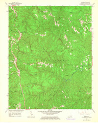 1963 Wiborg1966 Print · USGSMcCreary County communities line the Southern Railway in the early sixties, surrounded by the protected woods of the Cumberland National Forest. Genealogists and hikers can trace the paths to Roberts Chapel, Beulah Heights, and the remote cemetery at Hickenbottom.3 unique versions available
 - 1981 Map of Corbin, 1984 Print
 1981 Corbin1984 Print · USGSThe Kentucky and Tennessee borderlands in the early eighties were characterized by coal towns and deep mountain ridges. Trace family history or rail routes through Stearns, Williamsburg, and the mining settlements near Jellico Mountain along the L & N RR.
 - 2010 Map of Wiborg, 2010 Print
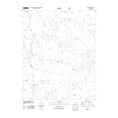 2010 Wiborg2010 Print · USGSMcCreary County's upland landscape is revealed in this modern survey of the communities near Beulah Heights and Wiborg. Researchers can locate several family burial sites including Hughes Cemetery and Barren Fork Cemetery alongside landmarks like the Stearns District Ranger Office.
 - 2013 Map of Wiborg, 2013 Print
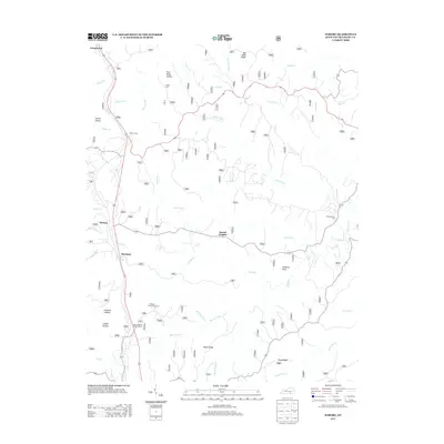 2013 Wiborg2013 Print · USGSMcCreary County's ridge-top communities are mapped here in the early twenty-first century, showcasing the persistent layout of these upland settlements. Trace family sites at Hughes Cem or Barren Fork Cem, and follow the winding routes through Beulah Heights and Wiborg.
 - 2016 Map of Wiborg, 2016 Print
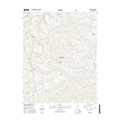 2016 Wiborg2016 Print · USGSMcCreary County and the Daniel Boone National Forest appear here in the mid-2010s, showing a landscape defined by deep hollows and high ridges. Genealogists and local historians can locate Beulah Heights, Wiborg, and family sites like Hughes Cem or Hickenbottom Cem.
 - 2019 Map of Wiborg, 2019 Print
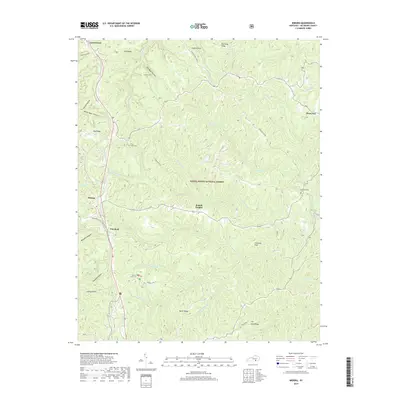 2019 Wiborg2019 Print · USGSMcCreary County and the Daniel Boone National Forest are shown here in the late 2010s, where small plateau communities meet deep forest hollows. Researchers can locate family landmarks like Hughes Cem, Hickenbottom Cem, and the high-elevation settlement of Beulah Heights.
 - 2022 Map of Wiborg, 2022 Print
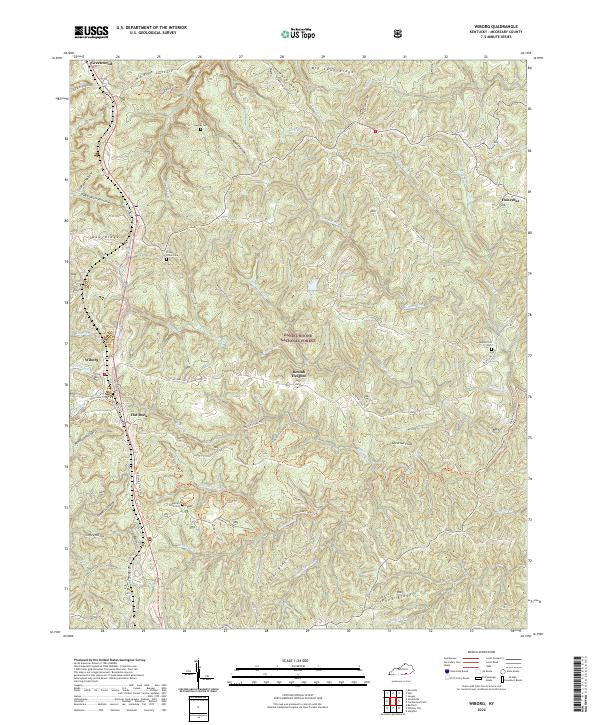 2022 Wiborg2022 Print · USGSMcCreary County and the timbered ridges of the southern Cumberland Plateau are documented here in the early twenty-first century. Genealogists and local historians can locate family burial sites like Piney Grove Cem and trace the paths of the Sheltowee Trace Trl through Beulah Heights.
End of results
Showing maps 1-12 of 12
Top cities near Beulah Heights
Frequently asked questions
- What are the different types of historical maps available for Beulah Heights?
- What is the oldest map of Beulah Heights?
- Where can I purchase historical maps of Beulah Heights for my home or office?
- Where can I download high-res historical maps of Beulah Heights?
- Are there historical topographic maps available for Beulah Heights?
- Is there historical aerial imagery available for Beulah Heights?
- Where are historical maps of Beulah Heights sourced from?