2010s Maps of Pike County, Kentucky
Explore 96 historic maps of Pike County from the 2010s. These maps offer a rare glimpse into what life looked like during the 2010s — showing old roads, neighborhoods, homes, and landmarks that have changed or disappeared over time.
Whether you're researching your family's past, planning a metal detecting trip, or studying how Pike County's landscape evolved across the 2010s, these high-resolution maps are a powerful tool for exploring the history of this region.
- Focus on a specific era: All maps on this page are from the 2010s, giving you a focused view of this time period.
- See what’s changed: Compare century-old streets, trails, and buildings to today's modern landscape using overlays and satellite layers.
- Research with precision: Use these maps for genealogy, historical research, land use analysis, or educational projects.
- View, download, or print: Maps are fully viewable online in high resolution, and can be downloaded or printed for your own records.
Start exploring Pike County's history through authentic maps from the 2010s. This is your window into the past.
Pike County, KY maps
(96)- 2010 Map of Wheelwright, 2010 Print
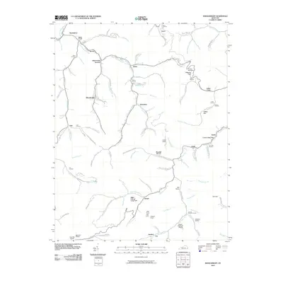 2010 Wheelwright2010 Print · USGSThe coal country of eastern Kentucky is documented here in the early twenty-first century, showing the tight-knit settlements of Wheelwright and Weeksbury. Local history researchers can trace family names through landmarks like Abner Mountain and cemeteries such as Tackett Cemetery and Fleming Memorial Gardens.
 - 2010 Map of Meta, 2010 Print
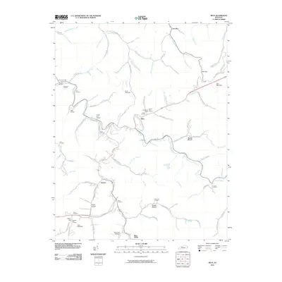 2010 Meta2010 Print · USGSPike County at the turn of the decade reveals a landscape of deep hollows and ancestral burial grounds tied to the waters of Johns Creek. Genealogists can trace family names at the Pinson Cemetery, Salem Cemetery, and the community of Zebulon.
 - 2010 Map of Dorton, 2010 Print
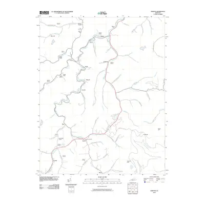 2010 Dorton2010 Print · USGSPike County's winding creek valleys and family settlements are documented in detail at the start of the 2010s. Genealogists can locate numerous small burial sites like Stiltner Cemetery and Newsome Cemetery near Virgie and Dorton.
 - 2010 Map of Pikeville, 2010 Print
 2010 Pikeville2010 Print · USGSPikeville and the surrounding Appalachian hollows are captured here during a period of modern growth along the Levisa Fork. Researchers can trace family history through numerous local sites like the John Mimms Sword Cemetery, Dill Cemetery, and the historic Cider Poor Farm Ridge.
 - 2010 Map of McDowell, 2010 Print
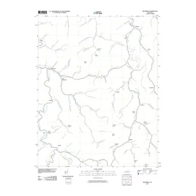 2010 McDowell2010 Print · USGSThe valleys of eastern Kentucky are meticulously detailed in this early twenty-first-century survey of the Beaver Creek watershed. Trace local family history through Lee Alley Cemetery or find rural landmarks like the Mud Creek Lookout Tower and Grethel Post Office.
 - 2010 Map of Belfry, 2010 Print
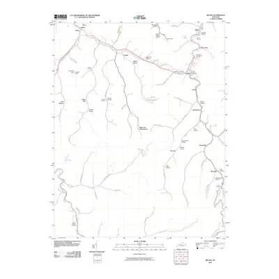 2010 Belfry2010 Print · USGSEastern Kentucky's coal-country hollows are mapped here during the early twenty-first century, showing the intricate landscape of the Tug Fork region. Researchers can trace family history through several remote sites like Stanley Cemetery or explore the network of small towns including Stone and Pinsonfork.
 - 2010 Map of Varney, 2010 Print
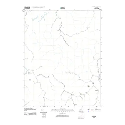 2010 Varney2010 Print · USGSEastern Kentucky's rugged hollows and creek-side settlements are captured here during the first decade of the 2000s. Genealogists can locate family burial grounds like Caney Cemetery and Varney Cemetery near the communities of Heenon and Piso.
 - 2010 Map of Millard, 2010 Print
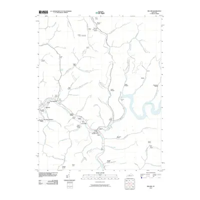 2010 Millard2010 Print · USGSThe Levisa Fork valley in eastern Kentucky was a hub of river and rail activity when this survey was updated. Researchers can trace family history at Annie E Young Cemetery, examine the Shelby Yards rail layout, or locate homes in Garden Village.
 - 2010 Map of Lick Creek, 2010 Print
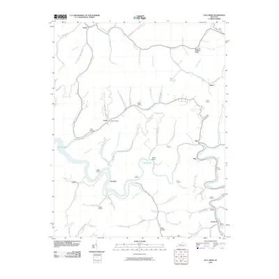 2010 Lick Creek2010 Print · USGSPike County settlements and river valleys are captured here in the early twenty-first century as Fishtrap Lake dominates the central landscape. Local researchers can trace family sites like Hunt Cemetery, identify the location of the Phyllis Post Office, or map the reach of Levisa Fork.
 - 2010 Map of Broad Bottom, 2010 Print
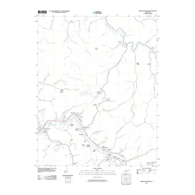 2010 Broad Bottom2010 Print · USGSThe Levisa Fork valley in eastern Kentucky was a hub of riverfront activity and transportation early in the twenty-first century. Genealogists and local historians can trace family burial sites like Marrs Cemetery and Weddington Cemetery alongside settlements at Coal Run Village and Mossy Bottom.
 - 2010 Map of Thomas, 2010 Print
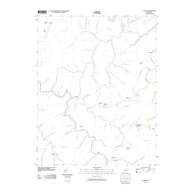 2010 Thomas2010 Print · USGSEastern Kentucky's ridge-and-hollow landscape is captured here in the early twenty-first century. Genealogists can trace family names at CC Maynards Settlement or locate remote burial sites like Kirk Cemetery and Jackson Cemetery tucked away in the hills.
 - 2010 Map of Delbarton, 2010 Print
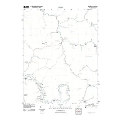 2010 Delbarton2010 Print · USGSMingo County’s steep valleys and coal-mining heritage are on full display in this early twenty-first-century survey of the Tug Fork region. Researchers can trace family history through numerous hillside burial sites like Phillips Cemetery and locate historic community hubs including Puritan Mines and the Red Jacket Post Office.
 - 2011 Map of Wharncliffe, 2011 Print
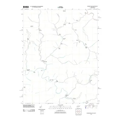 2011 Wharncliffe2011 Print · USGSMingo and Wyoming counties are mapped here in the early twenty-first century as the winding Tug Fork flows past mountain hamlets. Genealogists can trace family names at the Toler Cemetery or locate old community hubs like War Eagle and Wyoming City.
 - 2011 Map of Majestic, 2011 Print
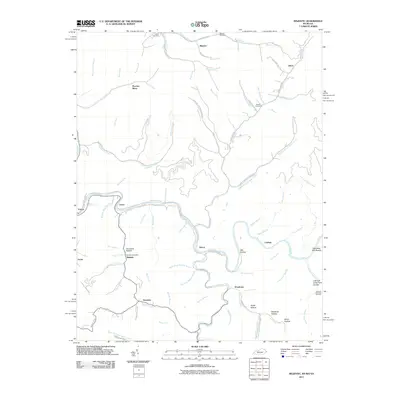 2011 Majestic2011 Print · USGSMingo County is defined by the winding Tug Fork and its coal-rich hollows during the early twenty-first century. Genealogists can locate family landmarks like Chafin Cemetery or trace settlement patterns in Majestic and Thacker Mines.
 - 2011 Map of Williamson, 2011 Print
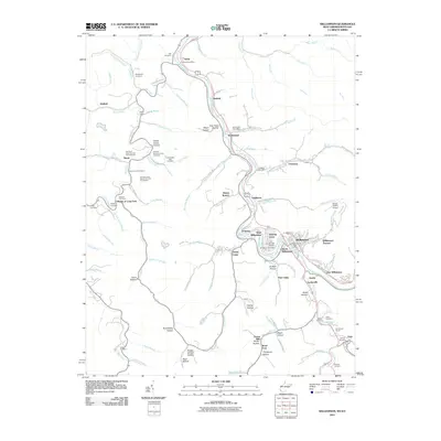 2011 Williamson2011 Print · USGSThe Tug Fork valley along the West Virginia and Kentucky border shows its established settlement patterns in the early 2000s. Genealogists can locate numerous family burial sites such as Goff Cemetery and Hayes Lowe Cemetery, alongside historic hubs like Chattaroy and Nolan.
 - 2011 Map of Matewan, 2011 Print
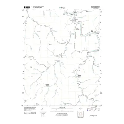 2011 Matewan2011 Print · USGSThe coal fields of West Virginia and Kentucky meet along the Tug Fork river in this 2011 snapshot of the region. Researchers can trace family history through numerous landmarks like the McCoy Cemetery, New Alma Coal Camp, and the Edgarton Post Office.
 - 2011 Map of Hellier, 2011 Print
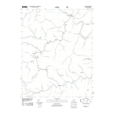 2011 Hellier2011 Print · USGSCoal mining communities and family homesteads fill these Appalachian valleys in the early 2010s. Trace the industrial landscape from the Allegheny Mine to the mountain settlements of Hellier and Ashcamp.
 - 2011 Map of Elkhorn City, 2011 Print
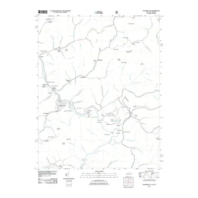 2011 Elkhorn City2011 Print · USGSElkhorn City and the rugged borderlands of Pike County are shown here in the early twenty-first century as the Russell Fork cuts through the mountains. Genealogists can locate family sites like Honey Fork Cemetery and the settlements of Belcher and Dunleary.
 - 2011 Map of Jenkins West, 2011 Print
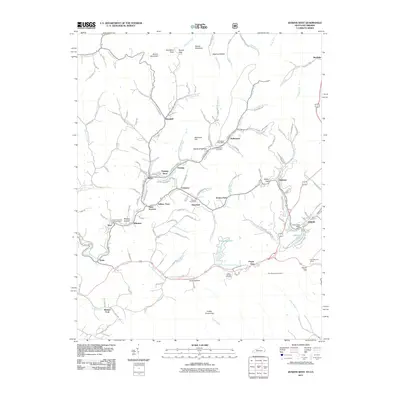 2011 Jenkins West2011 Print · USGSLetcher County's coal country and the headwaters of the Kentucky River are captured in detail during the early 2000s. Researchers can trace the heritage of industrial hamlets like Seco and McRoberts or locate the Sam Bentley Cemetery and Pine Mountain Tunnel.
 - 2011 Map of Clintwood, 2011 Print
 2011 Clintwood2011 Print · USGSClintwood and the surrounding Dickenson County ridges are shown here just after the first decade of the millennium. Researchers can trace deep family roots through numerous mountain burial sites like Dutton Cemetery or explore the massive reach of the John W. Flannagan Reservoir.
 - 2011 Map of Jenkins East, 2011 Print
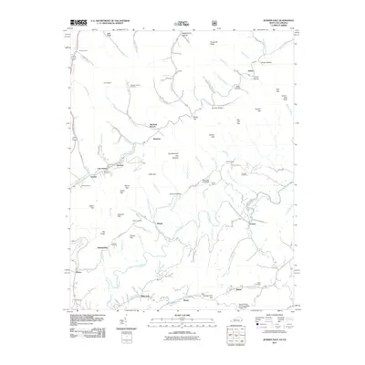 2011 Jenkins East2011 Print · USGSThe coal country of eastern Kentucky and western Virginia is captured here in the early twenty-first century, showing the tight-knit hollows near East Jenkins. Genealogists and local historians can trace family sites like Potter Cemetery or the historic Hamilton Chapel along Mill Creek.
 - 2011 Map of Hurley, 2011 Print
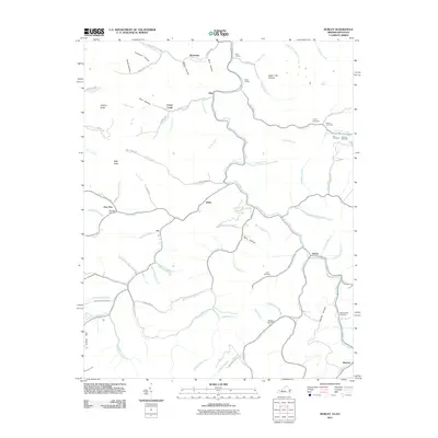 2011 Hurley2011 Print · USGSThe rugged mountains of the Virginia and Kentucky border are mapped here in the early twenty-first century, showing the enduring settlement patterns of Buchanan County. Genealogists can trace family names through the Coleman, Belcher, and Blankenship cemeteries, or locate rural siding like Bill Siding.
 - 2011 Map of Harman, 2011 Print
 2011 Harman2011 Print · USGSBuchanan County's river valleys and steep hollows are captured here at the start of the 2010s. Genealogists can locate family burial sites like Looney Creek Cemetery and Cantrell Cemetery or trace the settlements of Toonerville and Maxie.
 - 2011 Map of Jamboree, 2011 Print
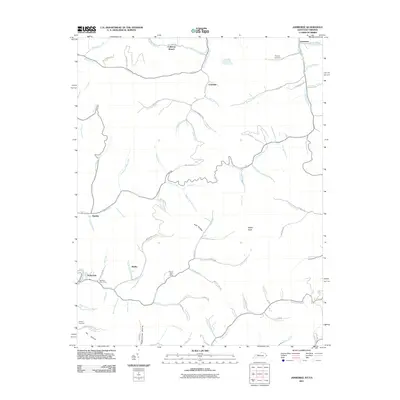 2011 Jamboree2011 Print · USGSThe Pike County coal country is captured here during the early twenty-first century, showing the enduring mountain settlements and hollows. Family researchers can locate Phillips Cemetery, the Steele Post Office, and the site of Rowland Row Camp.
 - 2013 Map of Varney, 2013 Print
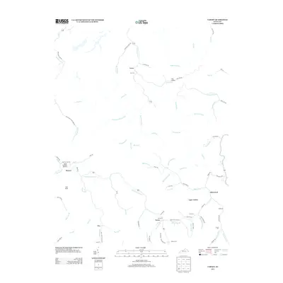 2013 Varney2013 Print · USGSPike County’s hollows and ridgelines are documented here in the early twenty-first century, showing the enduring settlement patterns of the Appalachian highlands. Genealogists can trace family names and sites like Smith Cem, Apple Orchard Cem, and the community of Upper Turkey.
Showing maps 1-25 of 96
Top cities of Pike County
Frequently asked questions
- What are the different types of historical maps available for Pike County?
- What is the oldest map of Pike County?
- Where can I purchase historical maps of Pike County for my home or office?
- Where can I download high-res historical maps of Pike County?
- Are there historical topographic maps available for Pike County?
- Is there historical aerial imagery available for Pike County?
- Where are historical maps of Pike County sourced from?