2020s Maps of Pike County, Kentucky
Explore 24 historic maps of Pike County from the 2020s. These maps offer a rare glimpse into what life looked like during the 2020s — showing old roads, neighborhoods, homes, and landmarks that have changed or disappeared over time.
Whether you're researching your family's past, planning a metal detecting trip, or studying how Pike County's landscape evolved across the 2020s, these high-resolution maps are a powerful tool for exploring the history of this region.
- Focus on a specific era: All maps on this page are from the 2020s, giving you a focused view of this time period.
- See what’s changed: Compare century-old streets, trails, and buildings to today's modern landscape using overlays and satellite layers.
- Research with precision: Use these maps for genealogy, historical research, land use analysis, or educational projects.
- View, download, or print: Maps are fully viewable online in high resolution, and can be downloaded or printed for your own records.
Start exploring Pike County's history through authentic maps from the 2020s. This is your window into the past.
Pike County, KY maps
(24)- 2022 Map of Majestic, 2022 Print
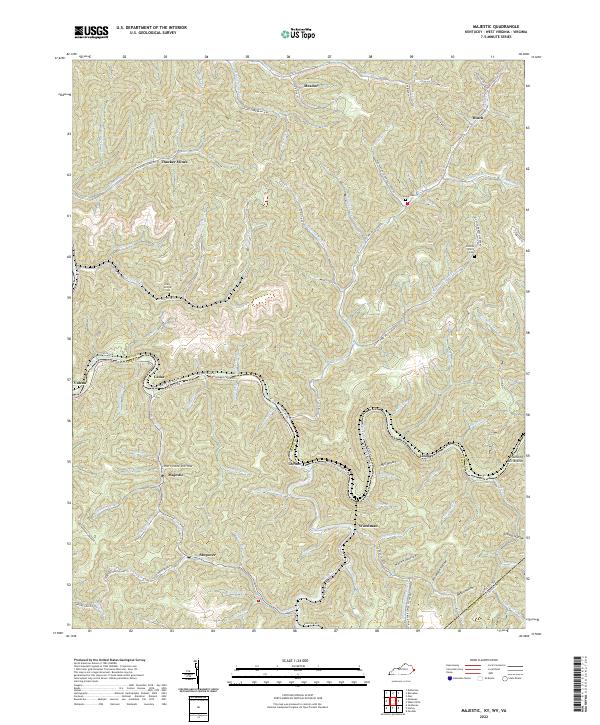 2022 Majestic2022 Print · USGSThe borderlands of Kentucky and West Virginia come into sharp focus in this detailed survey of the Pike and Mingo County line. Researchers can trace ancestral locations from Thacker Mines to Majestic, finding local landmarks like Steele Cem and Stopover.
 - 2022 Map of Varney, 2022 Print
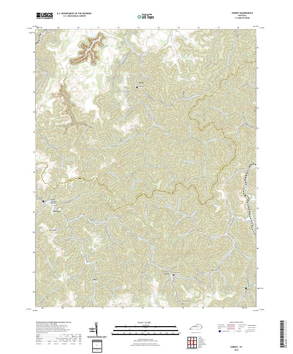 2022 Varney2022 Print · USGSPike County's intricate network of hollows and ridges is captured here in the early twenty-first century. Researchers can trace ancestral locations through several family burial grounds like Francis Cem and settlements such as Piso and Heenon.
 - 2022 Map of McDowell, 2022 Print
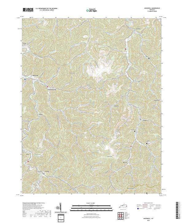 2022 McDowell2022 Print · USGSEastern Kentucky's creek-side communities are captured in this 2022 survey of the rugged Appalachian terrain. Researchers can locate family landmarks and rail history at Upper Lane Siding Station, Thomas Hamilton Cem, and the village of Teaberry.
 - 2022 Map of Harman, 2022 Print
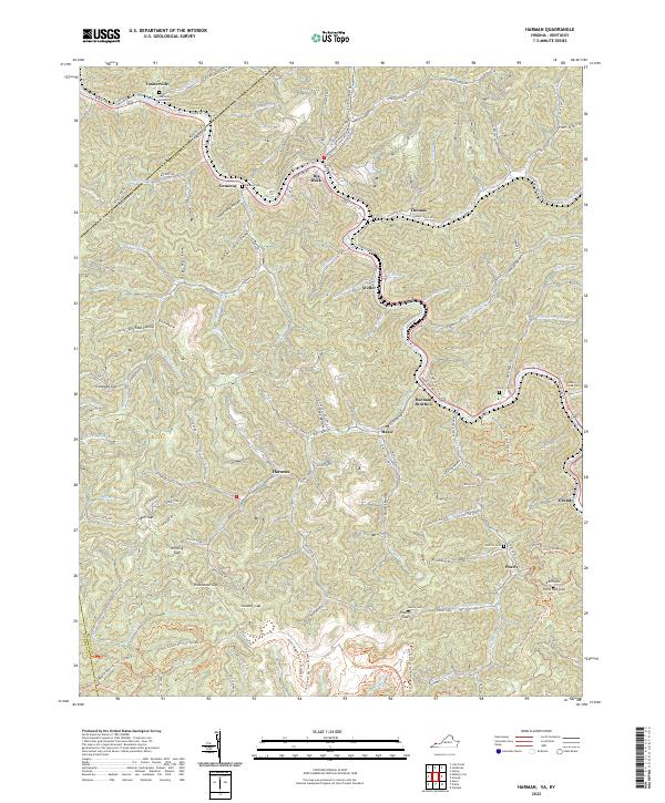 2022 Harman2022 Print · USGSThe rugged coalfields of Buchanan County are captured here in the early 2020s, showing a landscape defined by deep hollows and narrow river valleys. Researchers can locate numerous family burial sites like Ratliff Cem and Cantrell Cem or trace the Coal Canyon Atv Trail System Trl through Winding Gap.
 - 2022 Map of Wheelwright, 2022 Print
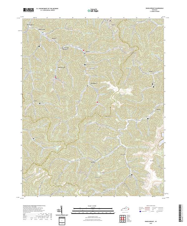 2022 Wheelwright2022 Print · USGSThe coal country of the Cumberland Plateau is mapped here in detail during the early 2020s. Researchers can trace family homesteads and burial sites like Tackett Cem near Melvin or locate the historic street plans of Wheelwright and Weeksbury.
 - 2022 Map of Meta, 2022 Print
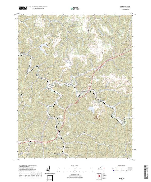 2022 Meta2022 Print · USGSPike County, Kentucky, is shown in the early 21st century, detailing the coal-country landscape and its many dispersed settlements. Researchers can find numerous family burial sites like Pinson Cem. and Chesnut Point Cem. or trace the CSX Rd near Zebulon.
 - 2022 Map of Hurley, 2022 Print
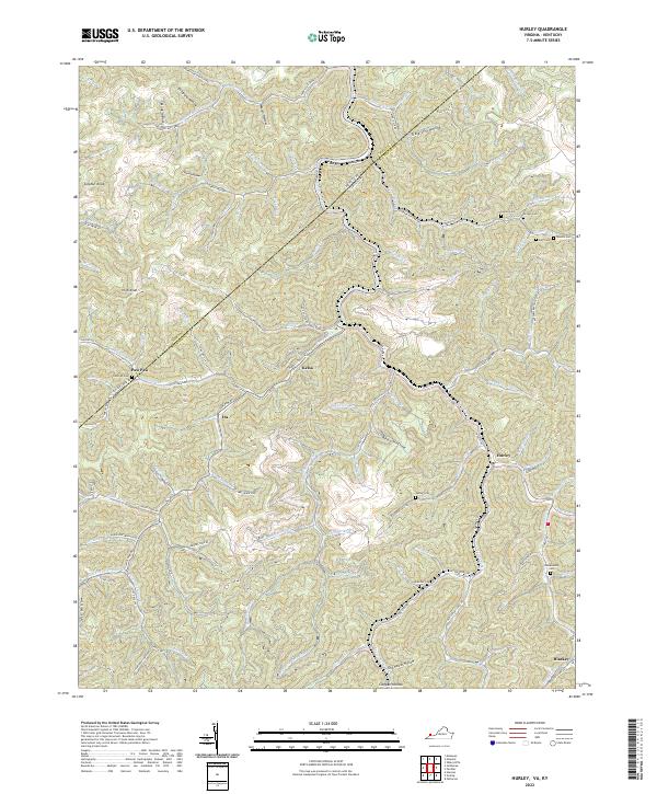 2022 Hurley2022 Print · USGSBuchanan County in the early twenty-first century reveals a landscape shaped by narrow hollows and deep family roots. Researchers can locate remote burial grounds like Coleman Cem and Blankenship Cem or trace the early paths of settlements at Hurley and Kelsa.
 - 2022 Map of Millard, 2022 Print
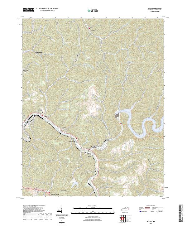 2022 Millard2022 Print · USGSThe confluence of the Levisa Fork and Russell Fork anchors this recent look at Pike County. Genealogists can locate family sites at Annie E Young Cem or trace homesites in Shelbiana and Justiceville.
 - 2022 Map of Jamboree, 2022 Print
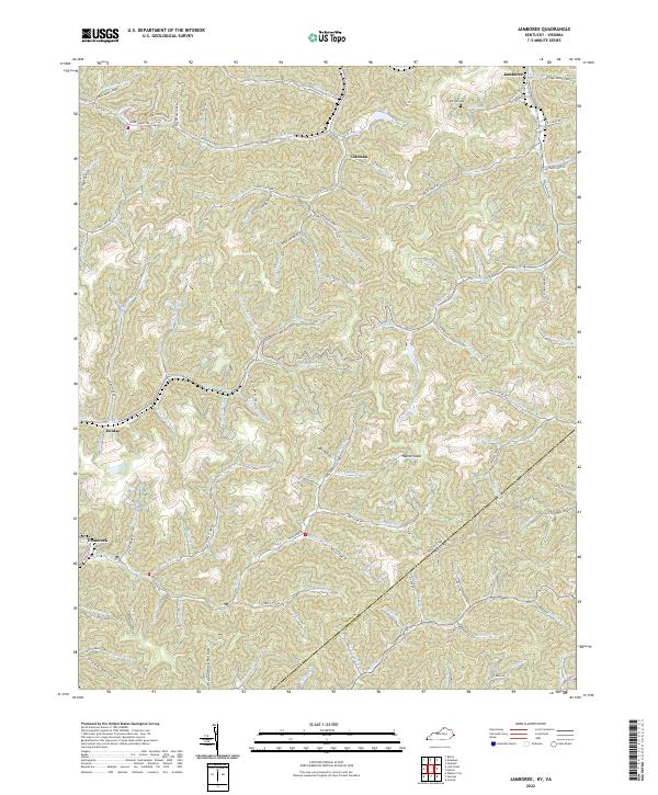 2022 Jamboree2022 Print · USGSThe mountains of eastern Kentucky and western Virginia come alive in this 2022 survey of the coal country. Genealogists and historians can trace family-named sites like Phillips Cem and the settlement at Jamboree, alongside landmarks such as Hylton Knob and Fox Hollow.
 - 2022 Map of Thomas, 2022 Print
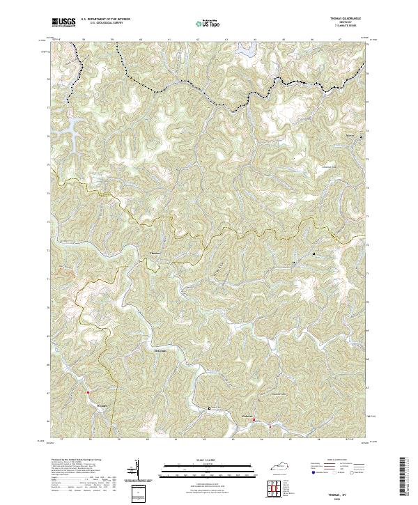 2022 Thomas2022 Print · USGSEastern Kentucky's high ridgelines and deep hollows are captured here at the triple-county junction of Martin, Floyd, and Pike. Trace family history through local landmarks like Thomas, Gulnare, and family burial sites including Maynard Cem and Lowe Cem.
 - 2022 Map of Clintwood, 2022 Print
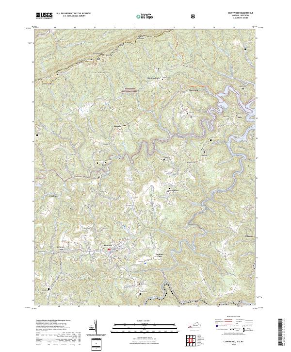 2022 Clintwood2022 Print · USGSThe town of Clintwood and the surrounding Dickenson County highlands appear in high detail during the early 2020s. Researchers can trace family history through many local sites like Fleming Cem, Moore Cem, and the settlement at Clinchco.
 - 2022 Map of Jenkins East, 2022 Print
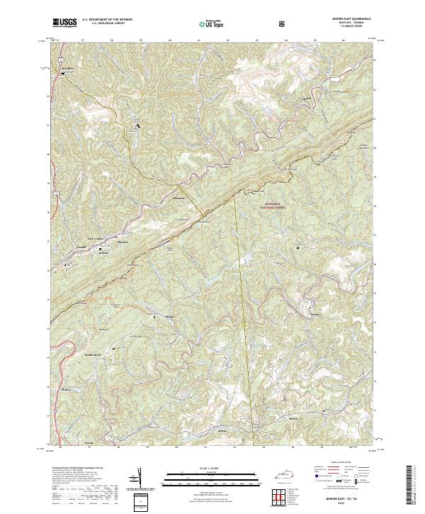 2022 Jenkins East2022 Print · USGSThe Kentucky and Virginia borderlands meet along the high ridges of Pine Mountain in this recent survey. Genealogists can trace family heritage through local burial grounds like Cook Cem and Potter Cem or locate old settlements at Beefhide and Shelby Gap.
 - 2022 Map of Elkhorn City, 2022 Print
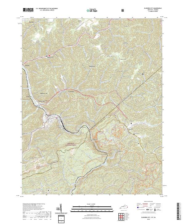 2022 Elkhorn City2022 Print · USGSThe Kentucky and Virginia borderlands come into focus in the 2020s, centered on the river-cut geography of Elkhorn City. Genealogists and historians can trace family plots at Mullins Cem, locate the Ohio & Kentucky RR corridor, and explore the deep terrain of The Breaks.
 - 2022 Map of Dorton, 2022 Print
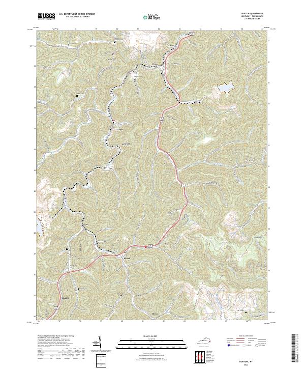 2022 Dorton2022 Print · USGSThe Shelby Creek valley in eastern Kentucky comes to life in this contemporary survey of its coal-country settlements and family hollows. Researchers can trace numerous ancestral burial sites like Newsome Cem and vanished local stops along Caney Hwy or the banks of Robinson Cr.
 - 2022 Map of Hellier, 2022 Print
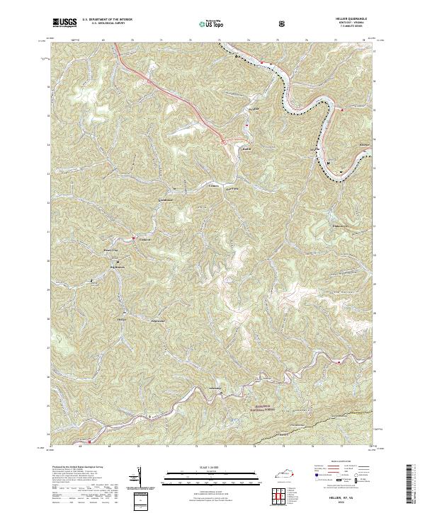 2022 Hellier2022 Print · USGSEastern Kentucky's coal country and the Virginia borderlands are revealed in this recent topographical study. Genealogists and historians can trace family sites at Martha Johnson Cemetery, Ratliff Cemetery, and the old settlements of Wolfpit and Hellier.
 - 2022 Map of Belfry, 2022 Print
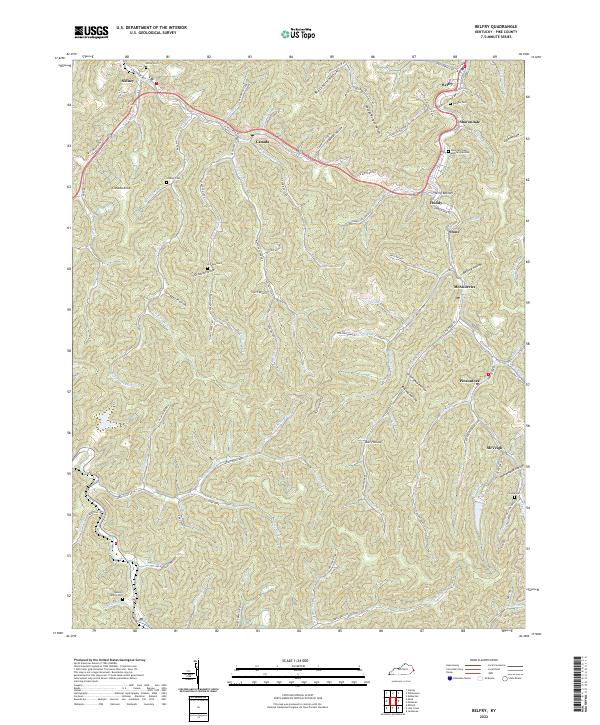 2022 Belfry2022 Print · USGSEastern Kentucky's narrow valleys and steep ridges are documented here in the early twenty-first century. Genealogists can trace family locations through named sites like Deskins Family Cem, Jerry Bottom, and settlements such as Sharondale or Pinsonfork.
 - 2022 Map of Lick Creek, 2022 Print
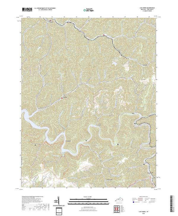 2022 Lick Creek2022 Print · USGSPike County's narrow valleys and ridge-top heights are documented here in recent detail, showing the persistent settlement patterns along the Levisa Fork. Genealogists can trace family landmarks like the Childress Cem, Rose Cem, and the community of Lick Creek.
 - 2022 Map of Broad Bottom, 2022 Print
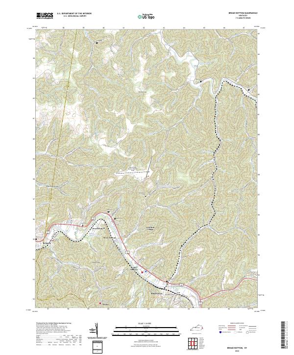 2022 Broad Bottom2022 Print · USGSPike County settlements and river valleys are shown in detail during the early 2020s as modern development follows the water. Genealogists can locate family landmarks like Mairs Cem or Blankenship Cem and trace the residential layout of Stanley Addition.
 - 2022 Map of Jenkins West, 2022 Print
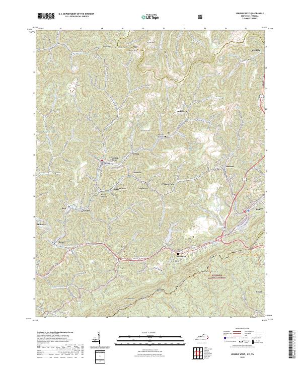 2022 Jenkins West2022 Print · USGSThe coal communities of Letcher County sit beneath the ridge of Pine Mountain in the early 2020s. Trace local family history and transit routes through Fleming-Neon, the old C And O Railroad Rd corridor, and historic Pound Gap.
 - 2022 Map of Pikeville, 2022 Print
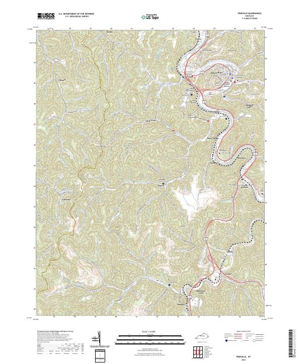 2022 Pikeville2022 Print · USGSPikeville and its surrounding river valley communities are shown in this 2022 survey during a period of modern growth and educational expansion. Genealogists and local historians can trace family plots at Johnson Memorial Cem and Potter Cem or explore the ridges of Cider Poor Farm Ridge and Duty Knob.
 - 2023 Map of Williamson, 2023 Print
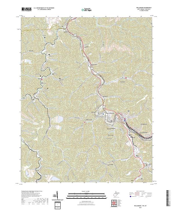 2023 Williamson2023 Print · USGSThe Tug Fork borderlands near the West Virginia and Kentucky line are shown here in recent detail. Genealogists can trace family landmarks across the hollows, including the Stepp Vance Cem, Tandy Sester Alley Cem, and the old settlement at Borderland.
 - 2023 Map of Delbarton, 2023 Print
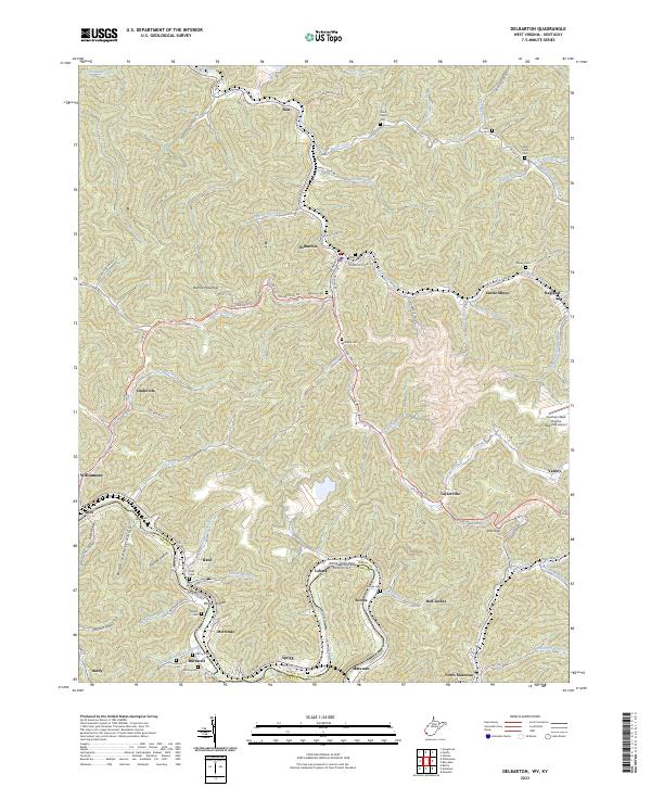 2023 Delbarton2023 Print · USGSThe rugged coal country of Mingo County is mapped in detail during the early 2020s, tracing the winding Tug Fork and Pigeon Creek. Genealogists and local historians can locate family cemeteries like McCoy Cem and industrial landmarks like Lando Mines.
 - 2023 Map of Matewan, 2023 Print
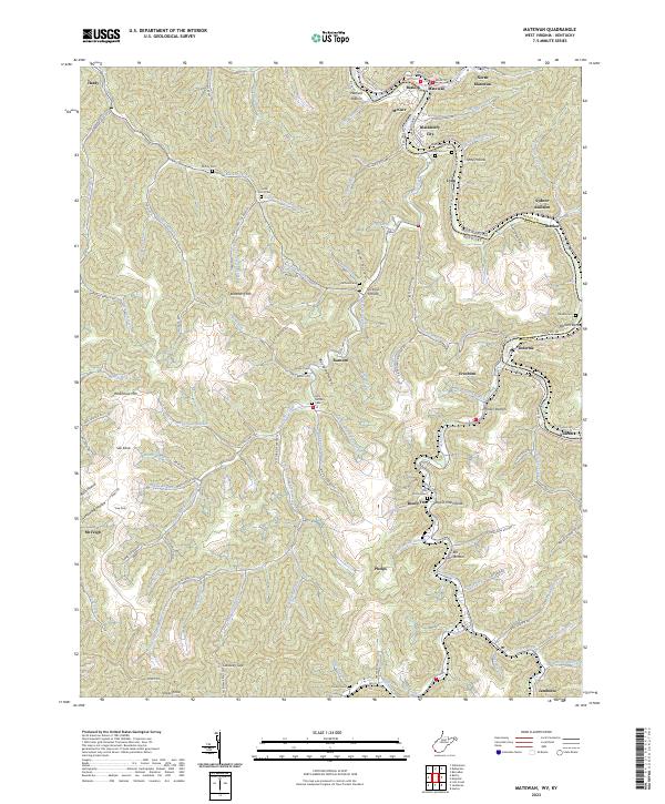 2023 Matewan2023 Print · USGSThe Tug Valley at the Kentucky and West Virginia border is a landscape shaped by the coal industry and family history. Genealogists can locate several family sites including Jerry Hatfield Cem, Julius Scott Cem, and the riverfront at Hatfield Bottom.
 - 2023 Map of Wharncliffe, 2023 Print
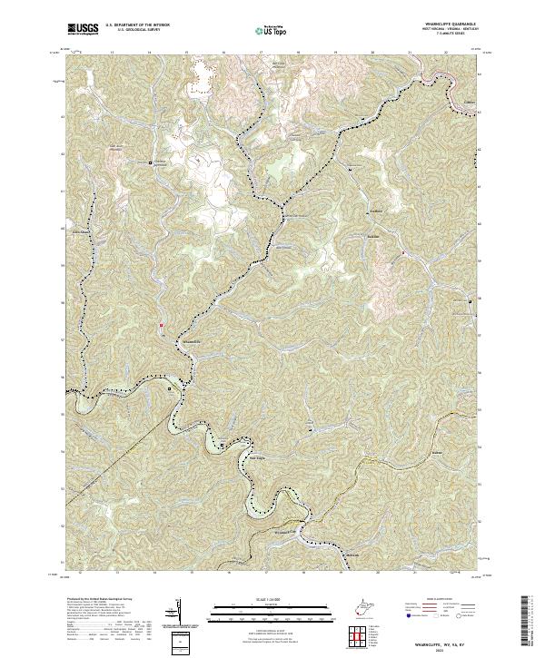 2023 Wharncliffe2023 Print · USGSMingo County, West Virginia, and the surrounding borders of Virginia and Kentucky are captured in this modern survey of the Tug Fork valley. Researchers can trace family history through numerous remote burial sites like Toler Cem, Snow Cem, and Mounts Cem.
End of results
Showing maps 1-24 of 24
Top cities of Pike County
Frequently asked questions
- What are the different types of historical maps available for Pike County?
- What is the oldest map of Pike County?
- Where can I purchase historical maps of Pike County for my home or office?
- Where can I download high-res historical maps of Pike County?
- Are there historical topographic maps available for Pike County?
- Is there historical aerial imagery available for Pike County?
- Where are historical maps of Pike County sourced from?