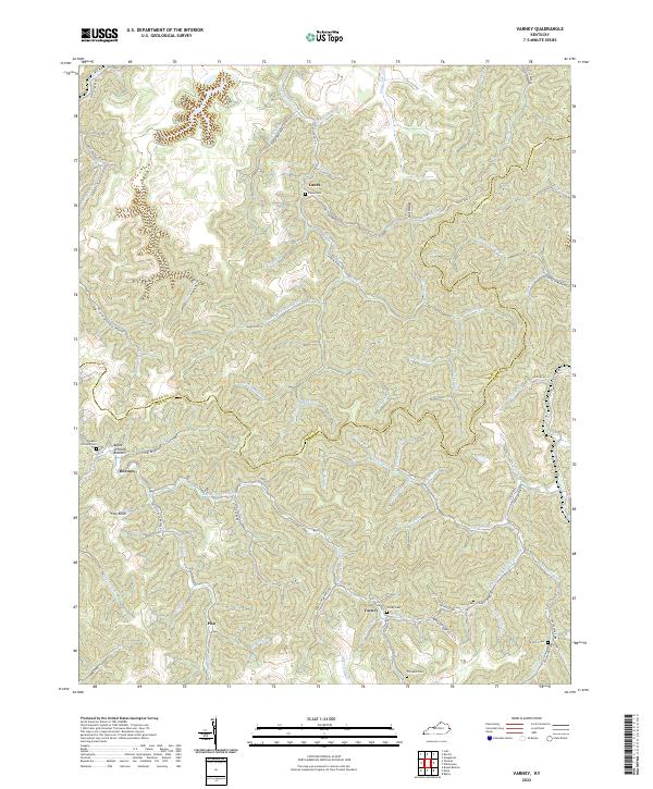
2022 Map of Varney
USGS Topo · Published 2022About this map
Varney and Piso anchor this study of eastern Kentucky's intricate topography along the Martin-Pike County line. The map illustrates a landscape defined by an incredibly dense network of hollows and forks, where settlements like Heenon and Apple Orchard Bottom follow the narrow valley floors. Transportation is inextricably tied to the water, with roads like S Wolf Creek Rd and Elkins Fork Rd tracing the winding paths of Wolf Creek and Elkins Fork. Genealogists will find significant value in the numerous family and community burial sites, including Varney Cem, Williams Cem, and Caney Cem, often tucked away near the headwaters of small branches. High points such as Flag Knob rise above the confluence of Brushy Fork and Left Fork Bushy Fork, highlighting the steep elevation changes characteristic of this coal-country terrain.
Find a feature on this map
80 named features on this map. Tap any name to fly to it.
Don’t see what you’re looking for? This feature index may not catch every label — zoom into the map to look around manually.
Map Details
Editions of this 2022 Varney Map
This is the sole edition of this map. No revisions or reprints were ever made.
Other maps of this area

1886 · Prestonsburg
USGS Topo · 1:125,000

1887 · Warfield
USGS Topo · 1:125,000

1891 · Warfield
USGS Topo · 1:125,000

1892 · Prestonsburg
USGS Topo · 1:125,000

1910 · Naugatuck
USGS Topo · 1:48,000

1912 · Naugatuck
USGS Topo · 1:62,500

1914 · Laynesville
USGS Topo · 1:48,000

1914 · Inez
USGS Topo · 1:48,000

1915 · Williamson
USGS Topo · 1:48,000

1915 · Naugatuck
USGS Topo · 1:48,000