
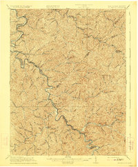
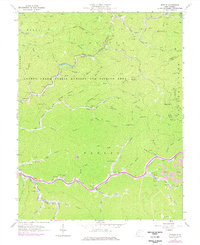
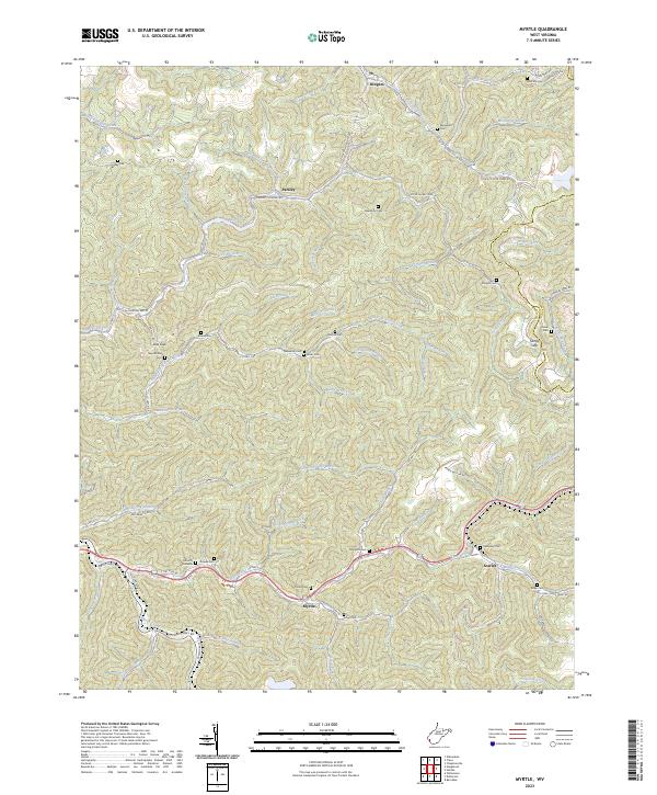
1915 Map of Naugatuck
USGS Topo · Published 1915About this map
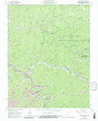
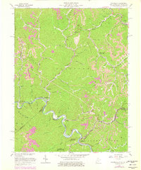
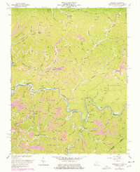
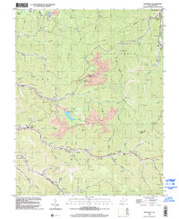
Tug Fork serves as the winding centerpiece of this 1915 survey, defining the border between West Virginia and Kentucky. The intricate topography of the Central Appalachian coalfields is captured during an era of significant local development, showing a landscape carved by a dense network of drainages like Rockcastle Cr, Wolf Cr, and Greasy Cr. Settlement patterns follow these narrow valley floors, with the village of Warfield appearing as a primary hub. Evidence of early 20th-century rural infrastructure is visible in the placement of the Priest School and small community clusters such as Naugatuck, Miller, and Cassie. The map provides a detailed view of the regional administrative divisions, including Warfield District and Hardee District, illustrating the early organizational structure of these river-side counties before mid-century modernizations.
Find a feature on this map
28 named features on this map. Tap any name to fly to it.
Don’t see what you’re looking for? This feature index may not catch every label — zoom into the map to look around manually.
Map Details
Editions of this 1915 Naugatuck Map
This is the sole edition of this map. No revisions or reprints were ever made.
Historical Maps of Warfield Through Time
24 maps found

1910 Naugatuck
Mingo County, WV

1912 Naugatuck
Mingo County, WV
1915 Naugatuck
Mingo County, WV
1917 Naugatuck
Mingo County, WV

1926 Naugatuck
Mingo County, WV

1928 Naugatuck
Mingo County, WV
1954 Naugatuck
Mingo County, WV
1954 Wharncliffe
Mingo County, WV
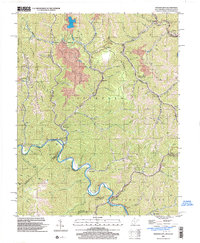
1963 Barnabus
Mingo County, WV
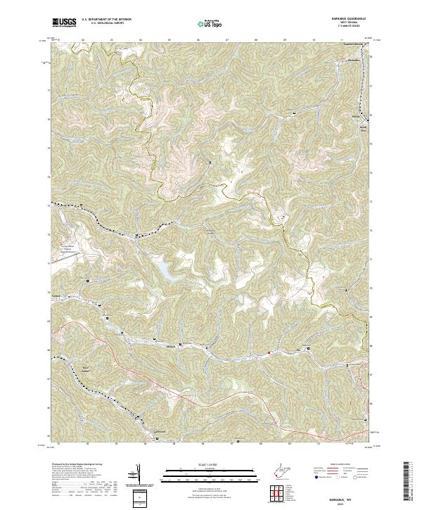
1963 Myrtle
Mingo County, WV
1963 Naugatuck
Mingo County, WV

1963 Trace
Mingo County, WV
1963 Wharncliffe
Mingo County, WV
1964 Majestic
Mingo County, WV
1996 Barnabus
Mingo County, WV
1996 Myrtle
Mingo County, WV
1997 Naugatuck
Mingo County, WV
1997 Trace
Mingo County, WV
2001 Wharncliffe
Mingo County, WV
2023 Barnabus
Mingo County, WV
2023 Myrtle
Mingo County, WV
2023 Naugatuck
Mingo County, WV
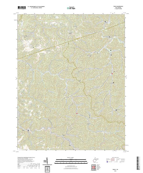
2023 Trace
Mingo County, WV
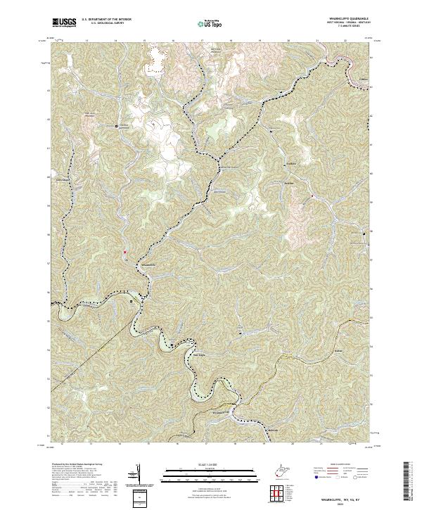
2023 Wharncliffe
Mingo County, WV