
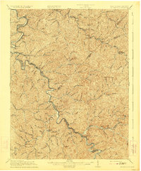
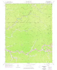
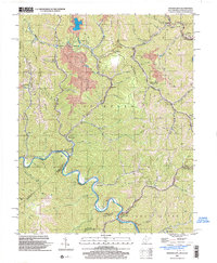
1912 Map of Naugatuck
USGS Topo · Published 1912About this map
The Tug Fork river defines the western boundary of this 1912 survey, winding through the coal-rich borderlands of West Virginia and Kentucky. This area, largely split between the Warfield and Hardee districts, showcases a landscape dominated by narrow creek valleys and steep ridges, such as Swelled Hickory Gap. The Norfolk and Western Ry follows the riverbank, serving as the primary corridor for commerce and connecting river towns like Naugatuck, Kermit, and Crum. Further inland, isolated settlements like Breeden and Wilsondale highlight the era's reliance on small post offices and mountain gaps. The map reveals a high density of named water features, from Marrowbone Creek to Pigeon Creek, which dictated the placement of early homesteads and logging operations before modern road networks reached these hollows.
Find a feature on this map
87 named features on this map. Tap any name to fly to it.
Don’t see what you’re looking for? This feature index may not catch every label — zoom into the map to look around manually.
Map Details
Editions of this 1912 Naugatuck Map
This is the sole edition of this map. No revisions or reprints were ever made.
Historical Maps of Warfield Through Time
24 maps found

1910 Naugatuck
Mingo County, WV
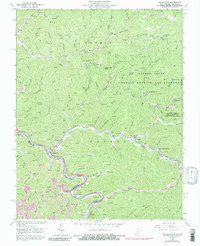
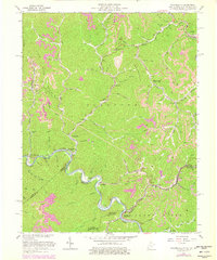
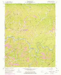
1912 Naugatuck
Mingo County, WV

1915 Naugatuck
Mingo County, WV
1917 Naugatuck
Mingo County, WV

1926 Naugatuck
Mingo County, WV

1928 Naugatuck
Mingo County, WV
1954 Naugatuck
Mingo County, WV
1954 Wharncliffe
Mingo County, WV
1963 Barnabus
Mingo County, WV
1963 Myrtle
Mingo County, WV
1963 Naugatuck
Mingo County, WV

1963 Trace
Mingo County, WV
1963 Wharncliffe
Mingo County, WV
1964 Majestic
Mingo County, WV
1996 Barnabus
Mingo County, WV
1996 Myrtle
Mingo County, WV
1997 Naugatuck
Mingo County, WV
1997 Trace
Mingo County, WV
2001 Wharncliffe
Mingo County, WV
2023 Barnabus
Mingo County, WV
2023 Myrtle
Mingo County, WV
2023 Naugatuck
Mingo County, WV
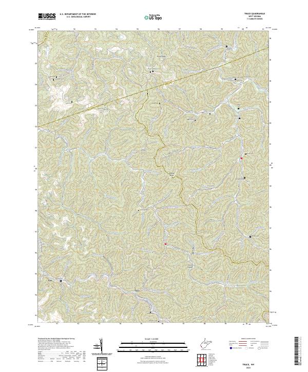
2023 Trace
Mingo County, WV
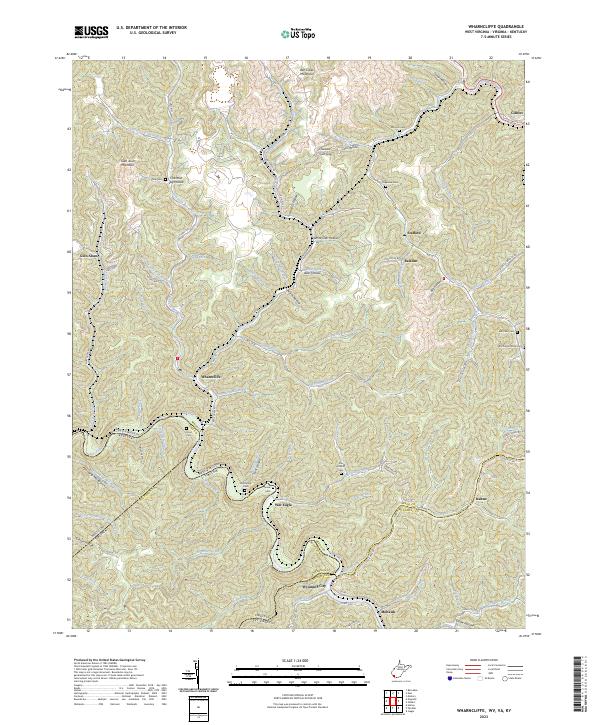
2023 Wharncliffe
Mingo County, WV