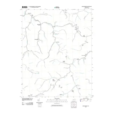
2010 Map of Wheelwright
USGS Topo · Published 2010About this map
Wheelwright and Weeksbury anchor this topographic study of the Appalachian coal country in eastern Kentucky, where the landscape is defined by an intricate network of narrow hollows and high ridges. The map details the residential pockets and mountain roads that follow the winding paths of Left Fork Beaver Creek and the Right Fork of Long Fork. Genealogists will find a wealth of specific local landmarks, including family-named sites like Abner Mountain and numerous scattered burial grounds such as Tackett Cemetery, Slone Cemetery, and the Amil Little Cemetery. The physical geography is marked by distinctive points like Potatoe Knob and Collier Rocks, illustrating the deeply dissected plateau characteristic of the region. The map also records industrial and recreational footprints, from the Mine Rd corridor near Bucklick to the Golf Course Rd north of the main settlement at Wheelwright.
Find a feature on this map
120 named features on this map. Tap any name to fly to it.
Don’t see what you’re looking for? This feature index may not catch every label — zoom into the map to look around manually.
Map Details
Editions of this 2010 Wheelwright Map
This is the sole edition of this map. No revisions or reprints were ever made.
Other maps of this area

1890 · Whitesburg
USGS Topo · 1:125,000

1892 · Whitesburg
USGS Topo · 1:125,000

1912 · Pound
USGS Topo · 1:48,000

1912 · Hindman
USGS Topo · 1:48,000

1913 · Oven Fork
USGS Topo · 1:48,000

1914 · Pound
USGS Topo · 1:62,500

1914 · Vergie
USGS Topo · 1:48,000

1915 · Hindman
USGS Topo · 1:62,500

1915 · Whitesburg
USGS Topo · 1:62,500

1916 · Pikeville
USGS Topo · 1:62,500