Old Maps of Waddy, Kentucky for Metal Detecting
Plan your next treasure hunt with 13 historic maps of Waddy. Find old homesites, ghost towns, trails, and gathering spots that may be lost to time — perfect for identifying promising metal detecting locations.
- Locate forgotten sites: Uncover places like long-lost settlements, abandoned rail lines, or gathering spots.
- Plan better hunts: Use map overlays combined with LiDAR or satellite views to narrow in on historically rich areas.
- Made for detectorists: Thousands of hobbyists use these maps to discover relics, coins, and hidden history.
Use these historic maps to boost your research and find new opportunities beneath the surface of Waddy.
Waddy, KY maps
(13)- 1923 Map of Waddy
 1923 Waddy1923 Print · USGSShelby County and Anderson County are captured here in the early 1920s, showing a rural landscape organized around the Midland Trail and regional rail lines. Genealogists can trace family connections to numerous landmarks like Buffalo Lick Church, Jeptha Knob, and small settlements including Waddy and Glensboro.
 - 1925 Map of Mount Eden
 1925 Mount Eden1925 Print · USGSThe rolling hills between Shelbyville and the Salt River are captured here in the mid-twenties, showing a landscape tied to the rails and old turnpikes. Researchers can find dozens of rural landmarks, from Jeptha Knob to family-named sites like Martin School and Browns Store.
 - 1927 Map of Mount Eden
 1927 Mount Eden1927 Print · USGSShelby County and its neighbors at the height of the 1920s reveal a landscape of ridge-top schools and bustling rail towns. Genealogists and local historians can trace family locations near landmarks like Jeptha Knob, the Buffalo Lick Church, or the community of Mount Eden.
 - 1954 Map of Waddy, 1955 Print
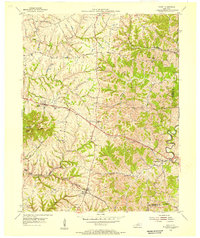 1954 Waddy1955 Print · USGSShelby and Franklin counties are shown here in the mid-fifties, dominated by the high ground of Jeptha Knob. Genealogists and historians can trace the rural communities of Clay Village, Peytona, and Waddy, as well as the Buffalo Lick Ch.
 - 1956 Map of Louisville, 1971 Print
 1956 Louisville1971 Print · USGSThe Ohio River valley and the Kentucky Bluegrass are captured here during a period of rapid mid-century growth and industrial activity. Genealogists and historians can trace rail-centered towns and military land use at Fort Knox and the Jefferson Proving Ground.2 unique versions available
 - 1964 Map of Louisville
 1964 Louisville1964 Print · USGSThe Ohio River valley and Kentucky Bluegrass are captured in the mid-1960s, showing a region balanced between industrial growth and its agrarian roots. Genealogists and historians can trace the development of county seats like Shelbyville and Paris, or locate established institutions such as Georgetown College and Bernheim Forest.
 - 1965 Map of Waddy, 1967 Print
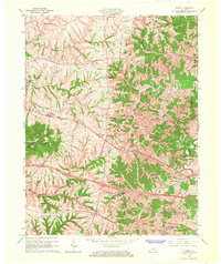 1965 Waddy1967 Print · USGSShelby County in the mid-1960s is captured here during a period of rural transition along the Southern railroad. Researchers can trace the layout of historic settlements like Waddy and Clay Village or locate family landmarks near Jeptha Knob.4 unique versions available
 - 1986 Map of Louisville
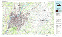 1986 Louisville1986 Print · USGSMid-1980s Louisville and southern Indiana are shown here during a decade of significant suburban growth and infrastructure development. Researchers can trace the layout of Cave Hill Cemetery, the expansion of Standiford Field, and industrial sites like the Indiana Army Ammunition Plant.2 unique versions available
 - 2010 Map of Waddy, 2010 Print
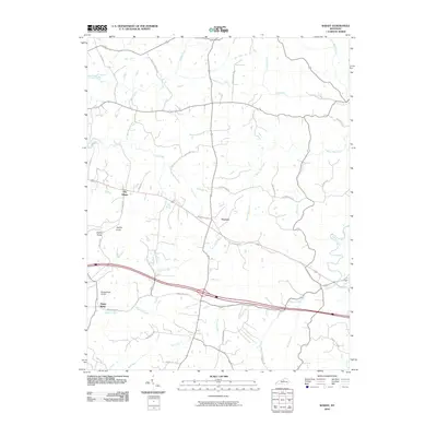 2010 Waddy2010 Print · USGSShelby County, Kentucky, is captured here in the early twenty-first century, showcasing a rural landscape defined by its rolling knobs and intricate creek systems. Genealogists and researchers can trace local landmarks like Jeptha Knob, the settlement at Peytona, and the Hemp Ridge Airport.
 - 2013 Map of Waddy, 2013 Print
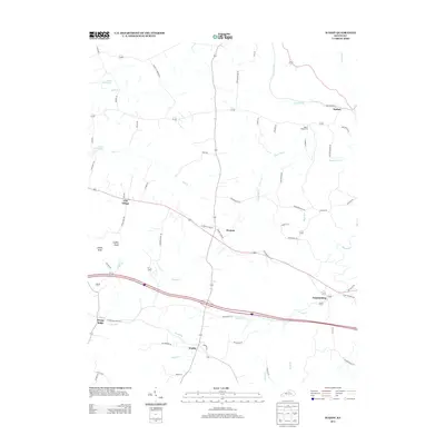 2013 Waddy2013 Print · USGSShelby County in the early twenty-first century reveals a landscape of enduring rural crossroads and family-named landmarks. Researchers can trace historic locations like Clay Village, Hemp Ridge, and the Beech Ridge Cem among the headwaters of Dutch Fork.
 - 2016 Map of Waddy, 2016 Print
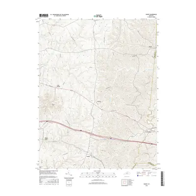 2016 Waddy2016 Print · USGSShelby County farmland and historic crossroads communities are mapped here in the mid-2010s. Researchers can locate family landmarks like the Beech Ridge Cem and trace the paths of Jeptha Cr around the prominent Jeptha Knob.
 - 2019 Map of Waddy, 2019 Print
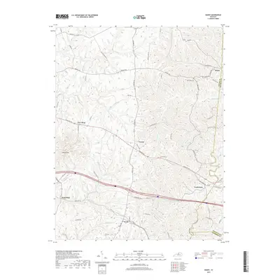 2019 Waddy2019 Print · USGSShelby County near the Franklin County line is shown here in the late 2010s, revealing a landscape of ridge-top settlements and winding creek valleys. Local historians can trace the rural layout of Clay Village, Peytona, and Waddy, or locate the Beech Ridge Cem.
 - 2022 Map of Waddy, 2022 Print
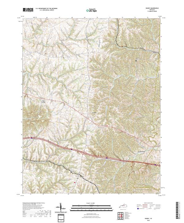 2022 Waddy2022 Print · USGSShelby County's rural landscape is captured here in the early 2020s, showing a network of historic crossroads and farm-to-market routes. Researchers can trace family-named roads and locate community centers like Waddy, Clay Village, and the Beech Ridge Cem.
End of results
Showing maps 1-13 of 13
Top cities near Waddy
- Frankfort historical maps
- Lawrenceburg historical maps
- Shelbyville historical maps
- Eminence historical maps
- Bloomfield historical maps
Frequently asked questions
- What are the different types of historical maps available for Waddy?
- What is the oldest map of Waddy?
- Where can I purchase historical maps of Waddy for my home or office?
- Where can I download high-res historical maps of Waddy?
- Are there historical topographic maps available for Waddy?
- Is there historical aerial imagery available for Waddy?
- Where are historical maps of Waddy sourced from?