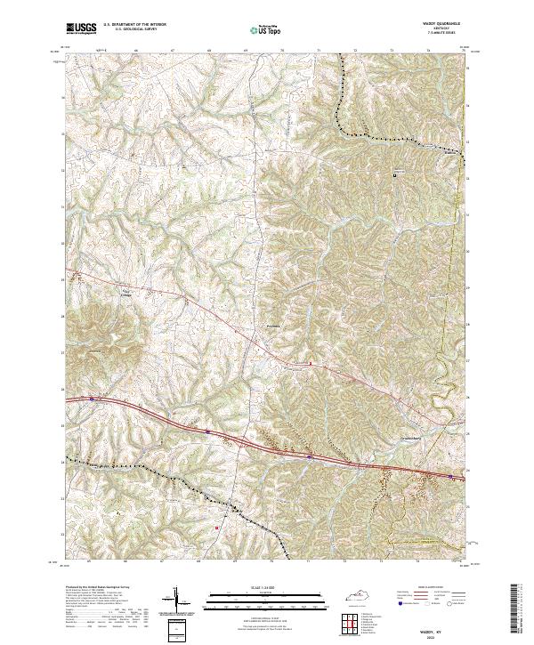
2022 Map of Waddy
USGS Topo · Published 2022About this map
The prominent Jeptha Knob rises above the rolling bluegrass landscape of eastern Shelby County, marking one of the most distinctive geological points in the region. This 2022 survey documents a series of established rural settlements and crossroads that have long anchored the local community, including Clay Village, Peytona, and Graefenburg. The landscape is intricately carved by several waterways, most notably Guist Cr, Dutch Fork, and White Oak Cr, which defined early property lines and travel routes.
Find a feature on this map
66 named features on this map. Tap any name to fly to it.
Don’t see what you’re looking for? This feature index may not catch every label — zoom into the map to look around manually.
Map Details
Editions of this 2022 Waddy Map
This is the sole edition of this map. No revisions or reprints were ever made.
Other maps of this area

1906 · Lockport
USGS Topo · 1:48,000

1908 · Lockport
USGS Topo · 1:62,500

1922 · Frankfort
USGS Topo · 1:48,000

1923 · Waddy
USGS Topo · 1:48,000

1924 · Frankfort
USGS Topo · 1:62,500

1925 · Mount Eden
USGS Topo · 1:48,000

1927 · Mount Eden
USGS Topo · 1:62,500

1928 · New Castle
USGS Topo · 1:48,000

1932 · New Castle
USGS Topo · 1:62,500

1951 · Lawrenceburg
USGS Topo · 1:24,000