Old Maps of Campbellsville, Kentucky for Academic Research
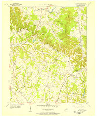
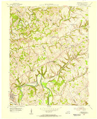
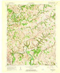
Study the evolution of Campbellsville with 23 high-resolution historic maps. Whether you're teaching, researching, or modeling changes in land use, these maps provide essential visual documentation of urban, environmental, and geographic change.
- Analyze long-term change: Track patterns in development, transportation, and natural features.
- Ideal for environmental or urban studies: Support academic projects with primary historical map data.
- Use in the classroom or lab: Educators and researchers rely on these maps to bring historical context to life.
These maps are a powerful tool for teaching, research, and visualizing how Campbellsville has changed over the decades.
Campbellsville, KY maps
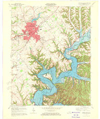
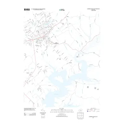
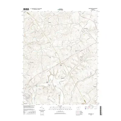
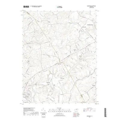
(23)- 1953 Map of Campbellsville, 1954 Print
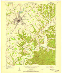 1953 Campbellsville1954 Print · USGSTaylor County at the dawn of the 1950s shows the growth of Campbellsville alongside its deep rural roots. Researchers can trace numerous local landmarks including the Wee Yan Sch, Old Pitman Ch, and the winding Robinson Creek.2 unique versions available
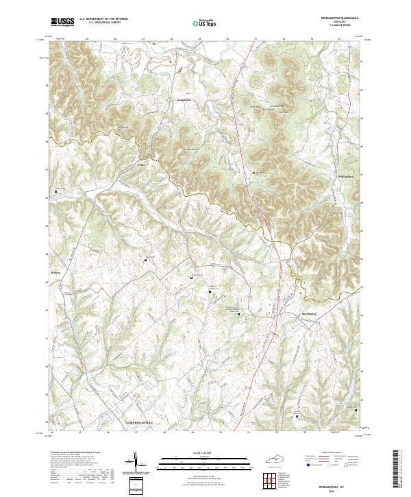
 - 1953 Map of Spurlington, 1955 Print
 1953 Spurlington1955 Print · USGSThe Muldraugh Hill country of Taylor and Marion counties is captured in the early fifties, showing a landscape defined by the Louisville and Nashville rail line. Trace family roots at Spurlington or explore old school sites like Palestine Sch and Union Ridge Sch.3 unique versions available
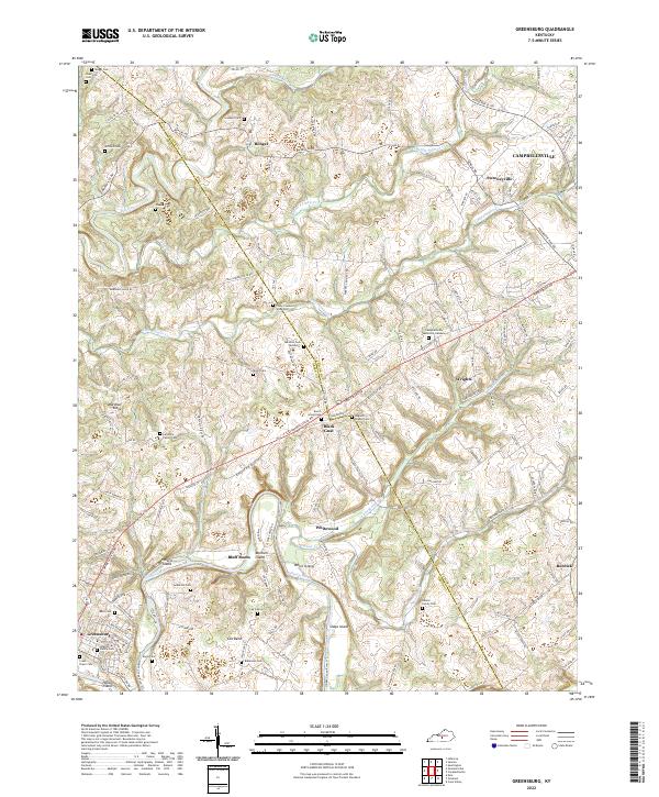
 - 1954 Map of Greensburg, 1955 Print
 1954 Greensburg1955 Print · USGSMid-century Green County and Taylor County are captured here as the Green River winds past Greensburg. Genealogists can trace family roots through numerous local landmarks like Black Gnat, Hogards Chapel, and rural schoolhouses including Fairview Sch.
 - 1957 Map of Winchester, 1968 Print
 1957 Winchester1968 Print · USGSCentral Kentucky's landscape in the mid-twentieth century features the sprawling Fort Knox and the early parkway system. Genealogists and historians can trace rail lines like the Southern Railway and find landmarks from Bernheim Forest to Pilot Knob.3 unique versions available
 - 1960 Map of Winchester
 1960 Winchester1960 Print · USGSCentral Kentucky's diverse landscape is shown here at mid-century, from the bluegrass plains to the rugged Pottsville Escarpment. Genealogists and historians can trace the rail-and-river network connecting towns like Bardstown and Stanford alongside landmarks like Lake Cumberland.
 - 1961 Map of Greensburg, 1962 Print
 1961 Greensburg1962 Print · USGSCentral Kentucky's river valleys and oil fields come into focus in the early sixties, centered on the historic seat of Greensburg. Genealogists and historians can trace deep family roots through many rural landmarks, including Earlys Chapel, Beech Grove Ch, and the curiously named Black Gnat.2 unique versions available
 - 1970 Map of Campbellsville, 1972 Print
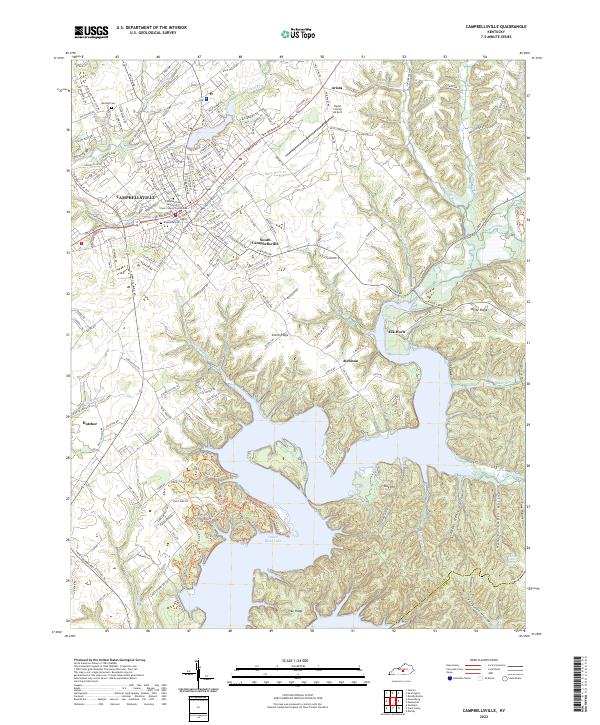
 1970 Campbellsville1972 Print · USGSCampbellsville and the newly formed Green River Lake are captured in the early seventies during a period of significant regional growth. Local researchers can trace the development of Campbellsville College and locate rural landmarks like Shady Grove Ch and Durham Sch.3 unique versions available
 - 1986 Map of Campbellsville
 1986 Campbellsville1986 Print · USGSCentral Kentucky in the mid-eighties was a landscape of deep river valleys and high ridges. Genealogists can trace family holdings near rural settlements like Phillipsburg or locate landmarks such as Mt Gilead Ch and the Magnolia Gas Storage Field.2 unique versions available
 - 2010 Map of Campbellsville, 2010 Print
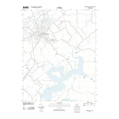 2010 Campbellsville2010 Print · USGSCovers Campbellsville, including Hatcher, Arista, and other nearby areas
 - 2010 Map of Spurlington, 2010 Print
 2010 Spurlington2010 Print · USGSCovers Campbellsville, including Finley, Jessietown, and other nearby areas
 - 2010 Map of Greensburg, 2010 Print
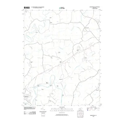 2010 Greensburg2010 Print · USGSCovers Campbellsville, including Greensburg, Burdick, and other nearby areas
 - 2013 Map of Campbellsville, 2013 Print
 2013 Campbellsville2013 Print · USGSCovers Campbellsville, including Hatcher, Arista, and other nearby areas
 - 2013 Map of Spurlington, 2013 Print
 2013 Spurlington2013 Print · USGSCovers Campbellsville, including Finley, Jessietown, and other nearby areas
 - 2013 Map of Greensburg, 2013 Print
 2013 Greensburg2013 Print · USGSCovers Campbellsville, including Greensburg, Burdick, and other nearby areas
 - 2016 Map of Campbellsville, 2016 Print
 2016 Campbellsville2016 Print · USGSCovers Campbellsville, including Hatcher, Arista, and other nearby areas
 - 2016 Map of Greensburg, 2016 Print
 2016 Greensburg2016 Print · USGSCovers Campbellsville, including Greensburg, Burdick, and other nearby areas
 - 2016 Map of Spurlington, 2016 Print
 2016 Spurlington2016 Print · USGSCovers Campbellsville, including Finley, Jessietown, and other nearby areas
 - 2019 Map of Spurlington, 2019 Print
 2019 Spurlington2019 Print · USGSCovers Campbellsville, including Finley, Jessietown, and other nearby areas
 - 2019 Map of Campbellsville, 2019 Print
 2019 Campbellsville2019 Print · USGSCovers Campbellsville, including Hatcher, Arista, and other nearby areas
 - 2019 Map of Greensburg, 2019 Print
 2019 Greensburg2019 Print · USGSCovers Campbellsville, including Greensburg, Burdick, and other nearby areas
 - 2022 Map of Greensburg, 2022 Print
 2022 Greensburg2022 Print · USGSGreen County in the modern era maintains its rural character along the winding Green River and Big Pitman Creek. Genealogists can trace deep local roots at the Colby Cowherd Slave Cem, Larimore Family Cem, and the interestingly named Black Gnat.
 - 2022 Map of Spurlington, 2022 Print
 2022 Spurlington2022 Print · USGSThe borderlands of Taylor and Marion counties come into focus in the early 2020s, showing a landscape of high ridges and winding creek valleys. Genealogists can trace family burial sites at Old Saint Francis de Sales Catholic Church Cem and Feather Cem near the Finley community.
 - 2022 Map of Campbellsville, 2022 Print
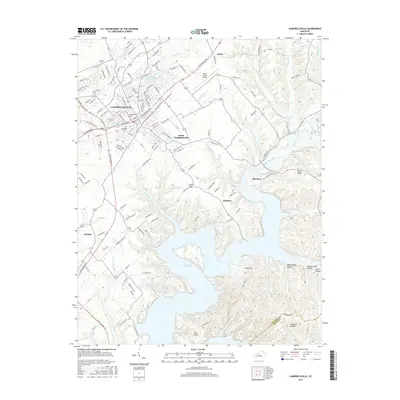
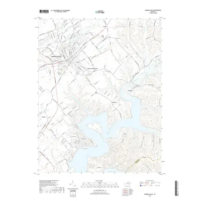
 2022 Campbellsville2022 Print · USGSThe Taylor County seat at its modern peak, this map shows a landscape defined by the growth of Campbellsville and the expansive waters of Green River Lake. Trace local roots at Brookside Cem or locate rural landmarks like Arista and the Taylor County Airport.
End of results
Showing maps 1-23 of 23
Top cities near Campbellsville
- Lebanon historical maps
- Columbia historical maps
- Greensburg historical maps
- Bradfordsville historical maps
- Raywick historical maps
Frequently asked questions
- What are the different types of historical maps available for Campbellsville?
- What is the oldest map of Campbellsville?
- Where can I purchase historical maps of Campbellsville for my home or office?
- Where can I download high-res historical maps of Campbellsville?
- Are there historical topographic maps available for Campbellsville?
- Is there historical aerial imagery available for Campbellsville?
- Where are historical maps of Campbellsville sourced from?