Old Maps of Daysville, Kentucky for Academic Research
Study the evolution of Daysville with 10 high-resolution historic maps. Whether you're teaching, researching, or modeling changes in land use, these maps provide essential visual documentation of urban, environmental, and geographic change.
- Analyze long-term change: Track patterns in development, transportation, and natural features.
- Ideal for environmental or urban studies: Support academic projects with primary historical map data.
- Use in the classroom or lab: Educators and researchers rely on these maps to bring historical context to life.
These maps are a powerful tool for teaching, research, and visualizing how Daysville has changed over the decades.
Daysville, KY maps
(10)- 1950 Map of Olmstead, 1985 Print
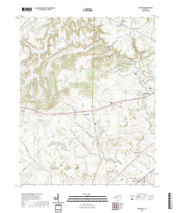
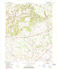 1950 Olmstead1985 Print · USGSThe rural borderlands of Logan and Todd Counties are captured here at mid-century, showing a landscape of family farms and small hamlets. Genealogists can trace family names through landmarks like Bennett Cem, Johnson Chapel, and the community of Gordonsville.
 - 1951 Map of Olmstead
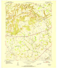 1951 Olmstead1951 Print · USGSSouthern Logan County and the Todd County line are captured here in the early fifties, centered on the railroad hub of Olmstead. Researchers can trace rural school locations like Mt Gilead Sch and family burial grounds including the Browder Cem and Bennett Cem.3 unique versions available
 - 1956 Map of Nashville, 1971 Print
 1956 Nashville1971 Print · USGSThe Tennessee-Kentucky borderlands come into focus in the mid-1960s as major reservoir projects transformed the Cumberland and Tennessee river valleys. Researchers can trace the rail networks of the Louisville and Nashville and visit sites like Fort Campbell and Fort Donelson National Military Park.2 unique versions available
 - 1959 Map of Nashville
 1959 Nashville1959 Print · USGSMiddle Tennessee and Southern Kentucky come into focus during the late fifties, showing the region's transition into a modern transportation and military hub. Researchers can trace the sprawling Fort Campbell Military Reservation or locate historic rail stops along the Tennessee Central Ry and Illinois Central RR.
 - 1980 Map of Hopkinsville, 1983 Print
 1980 Hopkinsville1983 Print · USGSThe Kentucky and Tennessee borderlands appear here at the start of the 1980s, centered on the massive Fort Campbell Military Reservation. Trace the impact of the Cumberland River impoundment at Lake Barkley or locate rail hubs like Guthrie and Elkton.
 - 2010 Map of Olmstead, 2010 Print
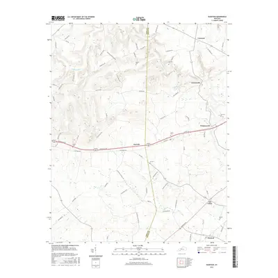
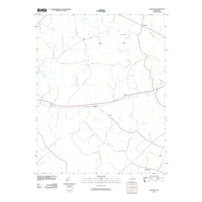 2010 Olmstead2010 Print · USGSCovers Daysville, including Whippoorwill, Olmstead, and other nearby areas
 - 2013 Map of Olmstead, 2013 Print
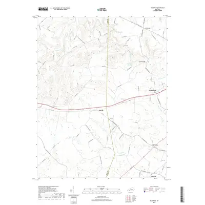
 2013 Olmstead2013 Print · USGSCovers Daysville, including Whippoorwill, Olmstead, and other nearby areas
 - 2016 Map of Olmstead, 2016 Print
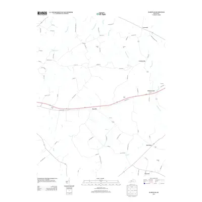
 2016 Olmstead2016 Print · USGSCovers Daysville, including Whippoorwill, Olmstead, and other nearby areas
 - 2019 Map of Olmstead, 2019 Print
 2019 Olmstead2019 Print · USGSCovers Daysville, including Whippoorwill, Olmstead, and other nearby areas
 - 2022 Map of Olmstead, 2022 Print
 2022 Olmstead2022 Print · USGSLogan County at the start of the 2020s remains a landscape of quiet crossroads and historic family burial grounds. Researchers can trace ancestral locations through numerous sites like Gordonsville, Old Volney, and the Duncan Waters Browder Cem.
End of results
Showing maps 1-10 of 10
Top cities near Daysville
- Clarksville historical maps
- Russellville historical maps
- Elkton historical maps
- Guthrie historical maps
- Adairville historical maps
- Lewisburg historical maps
See more
Frequently asked questions
- What are the different types of historical maps available for Daysville?
- What is the oldest map of Daysville?
- Where can I purchase historical maps of Daysville for my home or office?
- Where can I download high-res historical maps of Daysville?
- Are there historical topographic maps available for Daysville?
- Is there historical aerial imagery available for Daysville?
- Where are historical maps of Daysville sourced from?