1900s (20th Century) Maps of Warren County, Kentucky
Explore 52 historic maps of Warren County from the 1900s (20th Century). These maps offer a rare glimpse into what life looked like during the 1900s — showing old roads, neighborhoods, homes, and landmarks that have changed or disappeared over time.
Whether you're researching your family's past, planning a metal detecting trip, or studying how Warren County's landscape evolved across the 1900s, these high-resolution maps are a powerful tool for exploring the history of this region.
- Focus on a specific era: All maps on this page are from the 1900s, giving you a focused view of this time period.
- See what’s changed: Compare century-old streets, trails, and buildings to today's modern landscape using overlays and satellite layers.
- Research with precision: Use these maps for genealogy, historical research, land use analysis, or educational projects.
- View, download, or print: Maps are fully viewable online in high resolution, and can be downloaded or printed for your own records.
Start exploring Warren County's history through authentic maps from the 1900s. This is your window into the past.
Warren County, KY maps
(52)- 1914 Map of Little Muddy
 1914 Little Muddy1914 Print · USGSThe river-driven economy of Butler and Warren Counties is captured here in the years before widespread bridge construction. Genealogists can locate family-named landmarks and rural hubs like Morgantown, Stevenson Chapel, and crossings at Doctors Ford.4 unique versions available
 - 1921 Map of Bowling Green, 1955 Print
 1921 Bowling Green1955 Print · USGSBowling Green and its surrounding counties are shown here just after the Great War, when the Louisville and Nashville railroad fueled regional growth. Genealogists can trace hundreds of family landmarks, from Mussey Mill to schools like Cave Mill School and the remote Antioch Chapel.
 - 1922 Map of Brownsville
 1922 Brownsville1922 Print · USGSEdmonson and Warren Counties are mapped here in the early 1920s, showing a river-centered economy still reliant on ferries and landings. Genealogists can trace family footprints across dozens of country school sites like Poplar Spring School and historic crossings like Sadler Ford.
 - 1922 Map of Mammoth Cave, 1957 Print
 1922 Mammoth Cave1957 Print · USGSThe Green River valley and the Kentucky karst country are captured here in the early 1920s, before the full development of the national park. Researchers can trace family-named landmarks and long-established crossings like Fishtrap Ferry, Good Spring Church, and the world-renowned Mammoth Cave.7 unique versions available
 - 1923 Map of Bowling Green
 1923 Bowling Green1923 Print · USGSThe Bowling Green area in the early 1920s was a landscape defined by the winding Barren River and the busy Louisville and Nashville Railroad. Researchers can trace ancestral roots through dozens of rural sites like Cassadays Store, Massey Mill, and the Lost River.4 unique versions available
 - 1923 Map of Mammoth Cave
 1923 Mammoth Cave1923 Print · USGSThe subterranean wonders of Edmonson County are mapped in the early 1920s alongside the river ferries and rail towns of the Kentucky karst. Family historians can trace ancestral roots through dozens of local landmarks like Good Spring Church, Ollie School, and Houchins Ferry.6 unique versions available
 - 1923 Map of Brownsville
 1923 Brownsville1923 Print · USGSThe river-driven economies of Edmonson and Warren counties are preserved here in the early twentieth century. Researchers can trace ancestral locations through dozens of named sites like Bethlehem Church, Dalton Ferry, and rural schoolhouses including Poplar Spring School.3 unique versions available
 - 1926 Map of Scottsville
 1926 Scottsville1926 Print · USGSThe Barren River valley in the mid-twenties was a landscape of ferries and fords connecting isolated rural schools and churches. Researchers can trace ancestral locations like Scottsville, find the Rocky Hill Game PO, or locate the Rough and Ready School.
 - 1951 Map of Woodburn, 1952 Print
 1951 Woodburn1952 Print · USGSSouthern Kentucky at the dawn of the fifties shows a landscape of rail-side towns and winding waterways. Genealogists and local historians can trace the foundations of Woodburn, locate family-named sites like Stevenson Ch, and follow the old Louisville and Nashville line.2 unique versions available
 - 1951 Map of South Union, 1953 Print
 1951 South Union1953 Print · USGSSouth Union and the Gasper River valley appear here in the early fifties, showing a rural Logan County landscape defined by family farms and rail transport. Genealogists can locate several country churches and burial sites including Felts Cem, Liberty Ch, and the Gasper River Cem.2 unique versions available
 - 1952 Map of Rockfield, 1953 Print
 1952 Rockfield1953 Print · USGSWarren County in the early fifties is shown here at a peak of rail and resource activity. Genealogists can locate family landmarks like Millikens Chapel and Sumpter Cem, or trace the development of Rockfield and Rich Pond.2 unique versions available
 - 1954 Map of Evansville
 1954 Evansville1954 Print · USGSThe Ohio River borderlands between Indiana and Kentucky appear here during a period of robust industrial and military growth. Genealogists and researchers can trace the rail corridors of the Illinois Central and find landmarks like US Lock and Dam No 48 or Camp Breckinridge.
 - 1954 Map of Bowling Green North, 1955 Print
 1954 Bowling Green North1955 Print · USGSBowling Green and northern Warren County are shown in the mid-fifties as the Barren River shaped both industry and recreation. Local researchers can trace family landmarks like Mt Zion Ch, explore the early layout of Beech Bend Park, and locate the old Anna P O.
 - 1954 Map of Drake, 1955 Print
 1954 Drake1955 Print · USGSSouthern Kentucky farmland and the winding Drakes Creek are captured here in the mid-fifties. Genealogists and local historians can trace small communities like Gold City and Drake P.O. or locate family landmarks such as Barnes Sch and Salem Ch.
 - 1954 Map of Bristow, 1955 Print
 1954 Bristow1955 Print · USGSWarren and Edmonson Counties come alive in this mid-fifties study of the Kentucky karst and rail corridors. Genealogists can trace family roots through landmarks like Penns Chapel, Chalybeate Sch, and the rail-stop communities of Oakland and Bristow.2 unique versions available
 - 1954 Map of Brownsville, 1955 Print
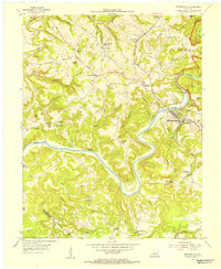 1954 Brownsville1955 Print · USGSCentral Kentucky in the mid-1950s is defined by the winding Green River and the rural communities of Edmonson County. Genealogists and historians can trace family locations near Asphalt Sch, New Home Ch, and the rugged slopes of Shipley Knob.
 - 1954 Map of Polkville, 1955 Print
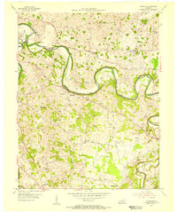 1954 Polkville1955 Print · USGSWarren and Allen Counties in the mid-fifties reveal a landscape of winding river bends and active petroleum exploration. Genealogists and historians can locate numerous family-named landmarks and rural centers like Hardcastle, Petty Cem, and the Rocky Springs Sch.2 unique versions available
 - 1954 Map of Park City, 1955 Print
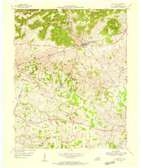 1954 Park City1955 Print · USGSThe limestone country of Barren and Edmonson counties is captured here in the mid-1950s. Researchers can trace the legacy of travel and tourism through Diamond Caverns, the Dixie Highway, and rural stops like Bon Ayr.2 unique versions available
 - 1954 Map of Meador, 1955 Print
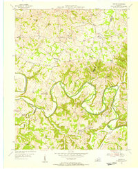 1954 Meador1955 Print · USGSThe Barren River winds through this rural Kentucky landscape during the mid-1950s, marking the convergence of Warren, Allen, and Barren counties. Local historians can trace family roots through numerous country landmarks like Mt Union Ch, Berry Store, and river crossings at Martinsville Ford.
 - 1954 Map of Reedyville, 1955 Print
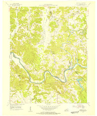 1954 Reedyville1955 Print · USGSButler and Edmonson Counties come alive in the mid-1950s as a landscape of river navigation and ridge-top farming. Genealogists and historians can trace family sites like Threlkel Cem, the busy Honakers Ferry, and Lock No 5 on the Green River.3 unique versions available
 - 1954 Map of Hadley, 1956 Print
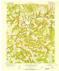 1954 Hadley1956 Print · USGSThe rivers and ridgelines of Warren County come alive in the mid-1950s as a network of rural settlements and emerging oil fields. Genealogists and historians can trace the foundations of Hadley PO, locate family burial grounds like Horton Cem, and find industrial traces at Caden Quarry.
 - 1954 Map of Smiths Grove, 1956 Print
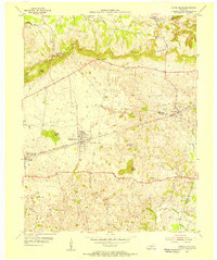 1954 Smiths Grove1956 Print · USGSThe Warren County countryside south of the Green River corridor thrived as a mid-century transit hub during the 1950s. Genealogists and historians can trace the legacy of families near Smiths Grove through landmarks like Kinser Cem, Cole Sch, and the Louisville and Nashville rail line.
 - 1954 Map of Morgantown, 1956 Print
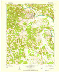 1954 Morgantown1956 Print · USGSButler County's river-driven economy and ridge-top settlements are captured here in the mid-1950s. Genealogists and researchers can locate family-named landmarks like Wade Cemetery, rural school sites such as Carved Rock School, and the river works at Lock No 4.2 unique versions available
 - 1954 Map of Bowling Green South, 1956 Print
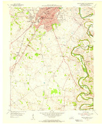 1954 Bowling Green South1956 Print · USGSMid-century Bowling Green is shown during a period of post-war expansion near the Western State College campus. Genealogists and local historians can trace family locations through Memphis Junction, Rich Pond, and numerous local burial sites like Fairview Cem.
 - 1954 Map of Sugar Grove, 1956 Print
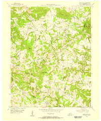 1954 Sugar Grove1956 Print · USGSButler and Warren counties are captured here in the mid-fifties, showing a rural landscape of small crossroads settlements and family farms. Researchers can locate many old burial grounds and country sanctuaries like Richland Ch, New Tuck Cem, and Shiloh Ch.2 unique versions available
Showing maps 1-25 of 52
Top cities of Warren County
- Bowling Green historical maps
- Smiths Grove historical maps
- Plum Springs historical maps
- Woodburn historical maps
- Oakland historical maps
Frequently asked questions
- What are the different types of historical maps available for Warren County?
- What is the oldest map of Warren County?
- Where can I purchase historical maps of Warren County for my home or office?
- Where can I download high-res historical maps of Warren County?
- Are there historical topographic maps available for Warren County?
- Is there historical aerial imagery available for Warren County?
- Where are historical maps of Warren County sourced from?