2000s (21st Century) Maps of Warren County, Kentucky
Explore 90 historic maps of Warren County from the 2000s (21st Century). These maps offer a rare glimpse into what life looked like during the 2000s — showing old roads, neighborhoods, homes, and landmarks that have changed or disappeared over time.
Whether you're researching your family's past, planning a metal detecting trip, or studying how Warren County's landscape evolved across the 2000s, these high-resolution maps are a powerful tool for exploring the history of this region.
- Focus on a specific era: All maps on this page are from the 2000s, giving you a focused view of this time period.
- See what’s changed: Compare century-old streets, trails, and buildings to today's modern landscape using overlays and satellite layers.
- Research with precision: Use these maps for genealogy, historical research, land use analysis, or educational projects.
- View, download, or print: Maps are fully viewable online in high resolution, and can be downloaded or printed for your own records.
Start exploring Warren County's history through authentic maps from the 2000s. This is your window into the past.
Warren County, KY maps
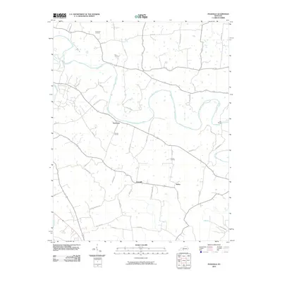
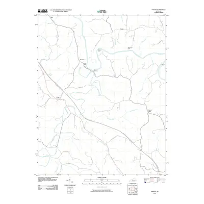
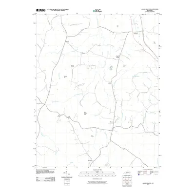
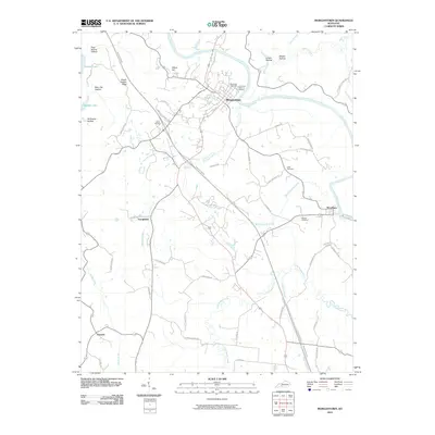
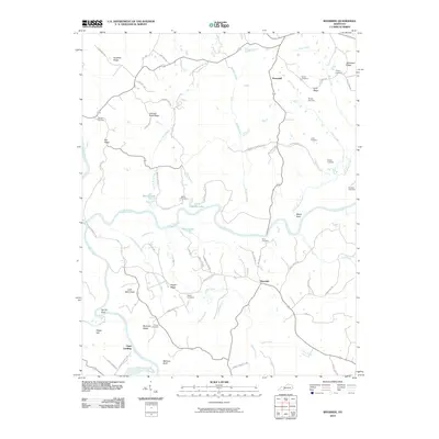
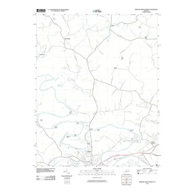
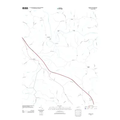
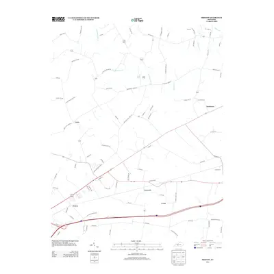
(90)- 2010 Map of Meador, 2010 Print
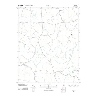 2010 Meador2010 Print · USGSCovers Warren County, including Pondsville, Port Oliver Ford, and other nearby areas
 - 2010 Map of Smiths Grove, 2010 Print
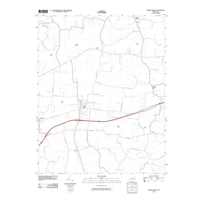 2010 Smiths Grove2010 Print · USGSCovers Warren County, including Smiths Grove, Oakland, and other nearby areas
 - 2010 Map of Drake, 2010 Print
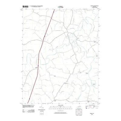 2010 Drake2010 Print · USGSCovers Warren County, including Mount Aerial, Drake, and other nearby areas
 - 2010 Map of Reedyville, 2010 Print
 2010 Reedyville2010 Print · USGSCovers Warren County, including Reedyville, Vineyard, and other nearby areas
 - 2010 Map of Bristow, 2010 Print
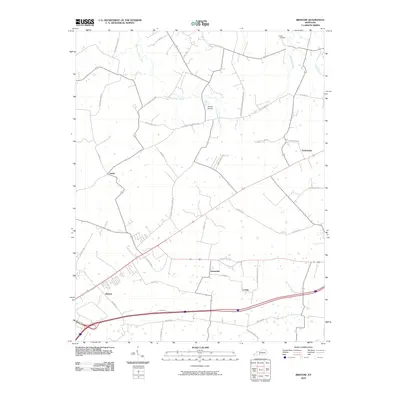 2010 Bristow2010 Print · USGSCovers Warren County, including Bowling Green, Oakland, and other nearby areas
 - 2010 Map of Polkville, 2010 Print
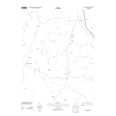
 2010 Polkville2010 Print · USGSCovers Warren County, including Bowling Green, Polkville, and other nearby areas
 - 2010 Map of Rockfield, 2010 Print
 2010 Rockfield2010 Print · USGSCovers Warren County, including Bowling Green, Rich Pond, and other nearby areas
 - 2010 Map of Woodburn, 2010 Print
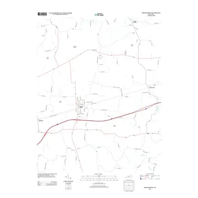
 2010 Woodburn2010 Print · USGSCovers Warren County, including Franklin, Woodburn, and other nearby areas
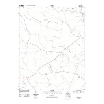
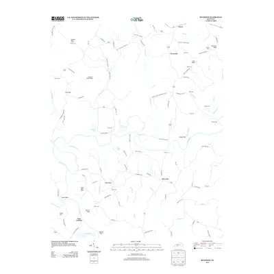
 - 2010 Map of Hadley, 2010 Print
 2010 Hadley2010 Print · USGSCovers Warren County, including Rockland, Barren River, and other nearby areas
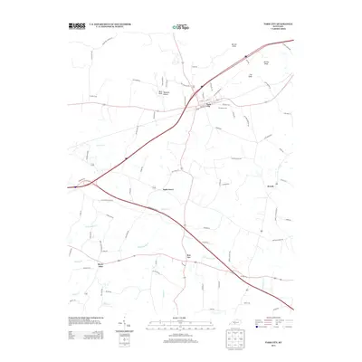
 - 2010 Map of Park City, 2010 Print
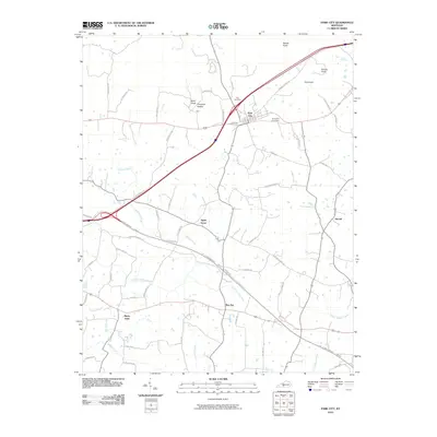 2010 Park City2010 Print · USGSCovers Warren County, including Park City, Stovall, and other nearby areas
 - 2010 Map of Sugar Grove, 2010 Print
 2010 Sugar Grove2010 Print · USGSCovers Warren County, including Davis Crossroads, Sugar Grove, and other nearby areas
 - 2010 Map of Bowling Green South, 2010 Print
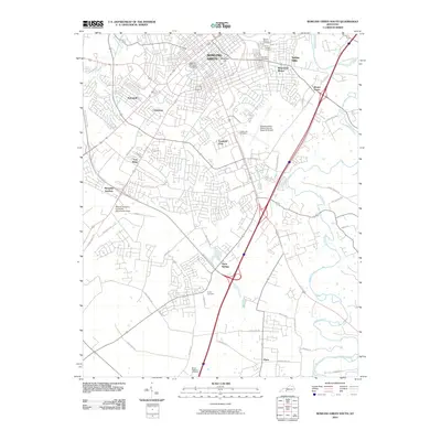 2010 Bowling Green South2010 Print · USGSCovers Warren County, including Bowling Green, Plano, and other nearby areas
 - 2010 Map of Brownsville, 2010 Print
 2010 Brownsville2010 Print · USGSCovers Warren County, including Brownsville, Asphalt, and other nearby areas
 - 2010 Map of South Union, 2010 Print
 2010 South Union2010 Print · USGSCovers Warren County, including Gasper, South Union, and other nearby areas
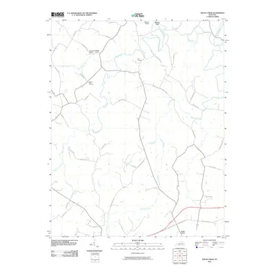
 - 2010 Map of Allen Springs, 2010 Print
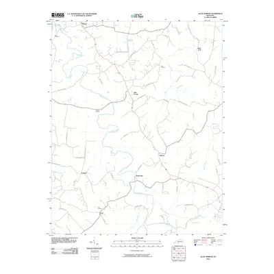 2010 Allen Springs2010 Print · USGSCovers Warren County, including Scottsville, Halfway, and other nearby areas
 - 2010 Map of Morgantown, 2010 Print
 2010 Morgantown2010 Print · USGSCovers Warren County, including Morgantown, Woodbury, and other nearby areas
 - 2010 Map of Riverside, 2010 Print
 2010 Riverside2010 Print · USGSCovers Warren County, including Riverside, Horsemill, and other nearby areas
 - 2010 Map of Bowling Green North, 2010 Print
 2010 Bowling Green North2010 Print · USGSCovers Warren County, including Bowling Green, Plum Springs, and other nearby areas
 - 2013 Map of Sugar Grove, 2013 Print
 2013 Sugar Grove2013 Print · USGSCovers Warren County, including Davis Crossroads, Sugar Grove, and other nearby areas
 - 2013 Map of Smiths Grove, 2013 Print
 2013 Smiths Grove2013 Print · USGSCovers Warren County, including Smiths Grove, Oakland, and other nearby areas
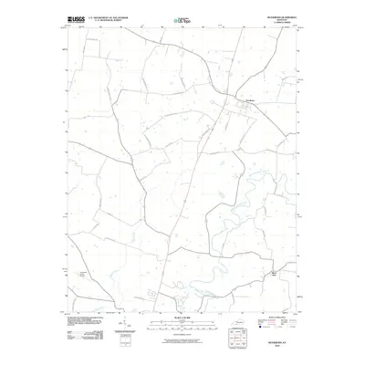
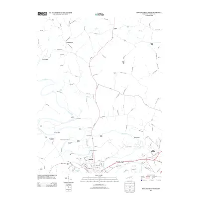
 - 2013 Map of Hadley, 2013 Print
 2013 Hadley2013 Print · USGSCovers Warren County, including Rockland, Barren River, and other nearby areas
 - 2013 Map of Bristow, 2013 Print
 2013 Bristow2013 Print · USGSCovers Warren County, including Bowling Green, Oakland, and other nearby areas
 - 2013 Map of Riverside, 2013 Print
 2013 Riverside2013 Print · USGSCovers Warren County, including Riverside, Horsemill, and other nearby areas
 - 2013 Map of Bowling Green North, 2013 Print
 2013 Bowling Green North2013 Print · USGSCovers Warren County, including Bowling Green, Plum Springs, and other nearby areas
 - 2013 Map of Park City, 2013 Print
 2013 Park City2013 Print · USGSCovers Warren County, including Park City, Stovall, and other nearby areas
Showing maps 1-25 of 90
Top cities of Warren County
- Bowling Green historical maps
- Smiths Grove historical maps
- Plum Springs historical maps
- Woodburn historical maps
- Oakland historical maps
Frequently asked questions
- What are the different types of historical maps available for Warren County?
- What is the oldest map of Warren County?
- Where can I purchase historical maps of Warren County for my home or office?
- Where can I download high-res historical maps of Warren County?
- Are there historical topographic maps available for Warren County?
- Is there historical aerial imagery available for Warren County?
- Where are historical maps of Warren County sourced from?