2010s Maps of Warren County, Kentucky
Explore 72 historic maps of Warren County from the 2010s. These maps offer a rare glimpse into what life looked like during the 2010s — showing old roads, neighborhoods, homes, and landmarks that have changed or disappeared over time.
Whether you're researching your family's past, planning a metal detecting trip, or studying how Warren County's landscape evolved across the 2010s, these high-resolution maps are a powerful tool for exploring the history of this region.
- Focus on a specific era: All maps on this page are from the 2010s, giving you a focused view of this time period.
- See what’s changed: Compare century-old streets, trails, and buildings to today's modern landscape using overlays and satellite layers.
- Research with precision: Use these maps for genealogy, historical research, land use analysis, or educational projects.
- View, download, or print: Maps are fully viewable online in high resolution, and can be downloaded or printed for your own records.
Start exploring Warren County's history through authentic maps from the 2010s. This is your window into the past.
Warren County, KY maps
(72)- 2010 Map of Meador, 2010 Print
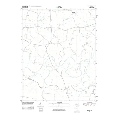 2010 Meador2010 Print · USGSWarren County’s river valleys and agricultural crossroads are captured here during a period of modern stability. Researchers can trace historic river crossings and small-town centers like Martinsville Ford, Berry Store, and Meador.
 - 2010 Map of Smiths Grove, 2010 Print
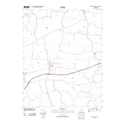 2010 Smiths Grove2010 Print · USGSWarren County at the dawn of the 2010s reveals a structured rural landscape defined by historic settlements and longstanding family farm roads. Researchers can trace ancestral roots through local sites like Kinser Cemetery, Cedar Spring, and the outlying hamlet of Hays.
 - 2010 Map of Drake, 2010 Print
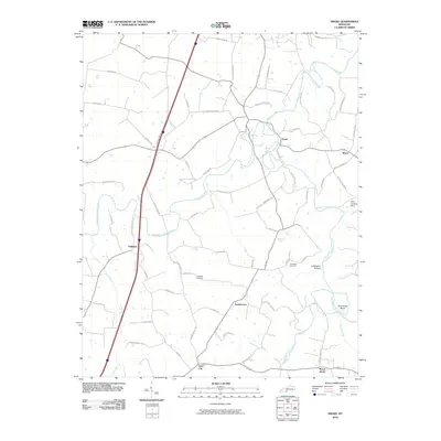 2010 Drake2010 Print · USGSIn the early twenty-first century, this corner of Kentucky remains defined by the forks of Drakes Creek and small rural hamlets. Researchers can trace family history through sites like Hopewell Cemetery, the remote Coldwater Hollow, and the crossroads at Gold City.
 - 2010 Map of Reedyville, 2010 Print
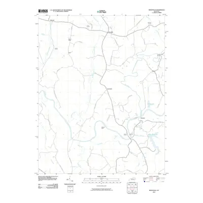 2010 Reedyville2010 Print · USGSButler County's river-fed landscape is captured here in the early 2000s, showing a network of rural settlements along the Green River. Researchers can locate several family burial grounds like Cardwell Cemetery and trace historical river crossings at Honakers Ferry.
 - 2010 Map of Bristow, 2010 Print
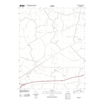 2010 Bristow2010 Print · USGSThe Warren County countryside northeast of Bowling Green is shown here at the start of the 21st century. Researchers can trace rural lineages through the Long Cemetery or explore established communities like Bristow, Sunnyside, and Tuckertown.
 - 2010 Map of Polkville, 2010 Print
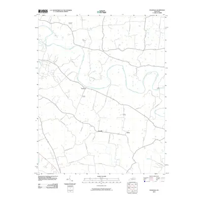 2010 Polkville2010 Print · USGSWarren County at the start of the 2010s shows a landscape of river-bend settlements and traditional family farmsteads. Trace local history through family-named landmarks like Kimbrough Cemetery and the river communities of Hardcastle and Motley.
 - 2010 Map of Rockfield, 2010 Print
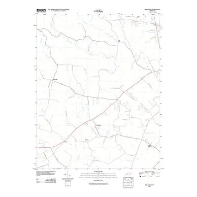 2010 Rockfield2010 Print · USGSWarren County communities southwest of Bowling Green are captured here during a period of transition in the early twenty-first century. Genealogists and local researchers can trace the roads around Rockfield, find Pleasant Hill Cemetery, and locate Rich Pond.
 - 2010 Map of Woodburn, 2010 Print
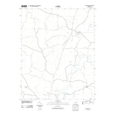 2010 Woodburn2010 Print · USGSWoodburn and the surrounding Simpson County countryside are captured here in the early twenty-first century as agricultural traditions met modern infrastructure. Researchers can locate family landmarks and rural hubs such as Black Jack, Arnemann Farms Airport, and the historic crossings at Saddler Ford Rd.
 - 2010 Map of Hadley, 2010 Print
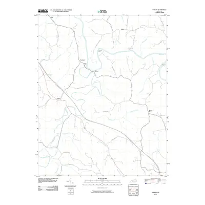 2010 Hadley2010 Print · USGSWarren County at the start of the 2010s shows a landscape deeply shaped by the winding Gasper River and Barren River. Genealogists and local historians can trace family-named roads like Bill Dedmon Rd and find rural centers at Hadley and Rockland.
 - 2010 Map of Park City, 2010 Print
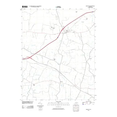 2010 Park City2010 Print · USGSThe Barren County countryside north of Glasgow comes into focus in this 2010 survey, showing the landscape as it appeared in the early twenty-first century. Researchers can trace family names and local history through features like Zion Cemetery, the settlement of Bon Ayr, and the unique topography of Opossum Hollow.
 - 2010 Map of Sugar Grove, 2010 Print
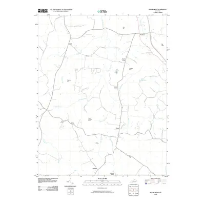 2010 Sugar Grove2010 Print · USGSButler County's rural communities and family landholdings are documented here in the early twenty-first century. Genealogists and local researchers can trace legacy sites like Lee Cemetery, Githens Cemetery, and the community of Sugar Grove.
 - 2010 Map of Bowling Green South, 2010 Print
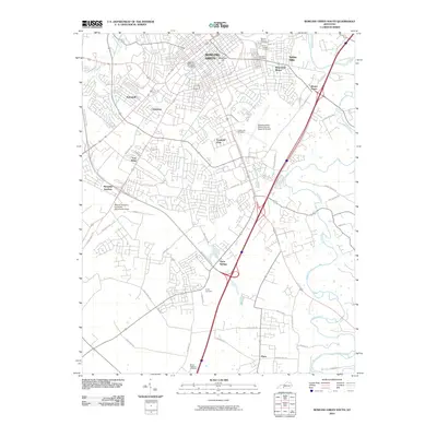 2010 Bowling Green South2010 Print · USGSBowling Green and its southern suburbs are captured here during a period of rapid development and expansion in the early twenty-first century. Researchers can trace the layout of Western Kentucky University, find family records at Mount Moriah Cemetery, or explore the rural environs of Plano.
 - 2010 Map of Brownsville, 2010 Print
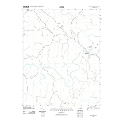 2010 Brownsville2010 Print · USGSEdmonson County in the early twenty-first century centers on the winding Green River and the rural communities surrounding Brownsville. Researchers can trace family roots through sites like Holly Springs Cemetery and locate vanished landmarks along Davis Ferry Rd.
 - 2010 Map of South Union, 2010 Print
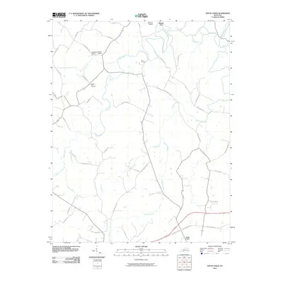 2010 South Union2010 Print · USGSSouth Union and the surrounding Kentucky countryside are captured here during the first decade of the millennium. Researchers can trace ancestral connections at the Felts Cemetery or follow the historic paths through Shaker Hollow and Richelieu Hollow.
 - 2010 Map of Allen Springs, 2010 Print
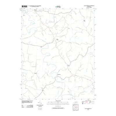 2010 Allen Springs2010 Print · USGSSouth-central Kentucky at the start of the 21st century reveals a landscape of dispersed settlements and winding creek valleys. Genealogists and local historians can trace family roots through sites like Sherry Cemetery and the crossroads at Allen Springs or Butlersville.
 - 2010 Map of Morgantown, 2010 Print
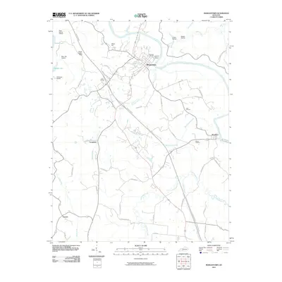 2010 Morgantown2010 Print · USGSButler County at the start of the 2010s shows a landscape where historic river settlements and family landmarks meet modern transit. Genealogists and local researchers can trace old family locations through the Wade Cemetery, Cook Cemetery, and the riverside community of Woodbury.
 - 2010 Map of Riverside, 2010 Print
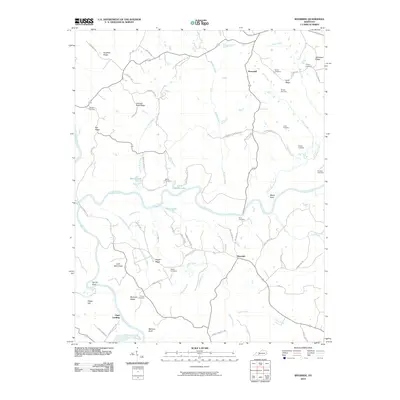 2010 Riverside2010 Print · USGSRiverside and the Warren County countryside come alive in this modern survey as they appeared at the start of the 2010s. Researchers can locate numerous family burial sites and river landmarks, from Peyton Cemetery and Roan Cemetery to the historic Clark Landing at the Barren River.
 - 2010 Map of Bowling Green North, 2010 Print
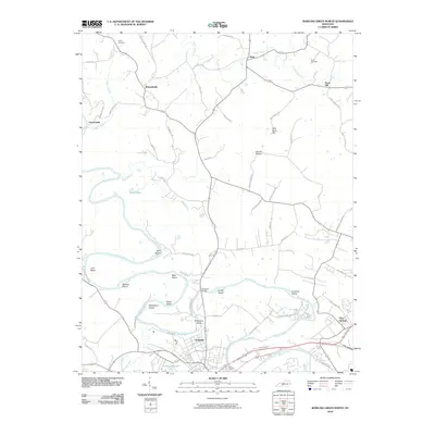 2010 Bowling Green North2010 Print · USGSThe rural communities north of Bowling Green come into focus during this period of the early twenty-first century. Local historians can trace family lands near Richardsville and Anna, or locate historic river landmarks like Slim Island and Taylor Cemetery.
 - 2013 Map of Sugar Grove, 2013 Print
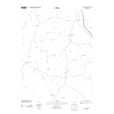 2013 Sugar Grove2013 Print · USGSThis southern Kentucky landscape in 2013 shows a rural network of family cemeteries and small creek-side settlements. Genealogists and historians can trace local roots through sites like Lee Cemetery and New Tuck Cemetery or the community of Sugar Grove.
 - 2013 Map of Smiths Grove, 2013 Print
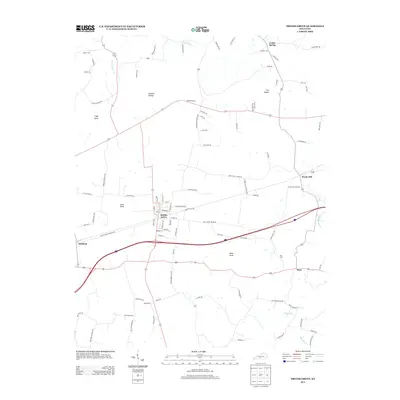 2013 Smiths Grove2013 Print · USGSSmiths Grove and the surrounding Kentucky knobs are captured here in the early twenty-first century, showing a mix of established small towns and deep-rooted rural family lands. Researchers can trace local lineage through several burial sites like Kinser Cem and Moon Cem or find historic crossroads at Rocky Hill and Cedar Spring.
 - 2013 Map of Hadley, 2013 Print
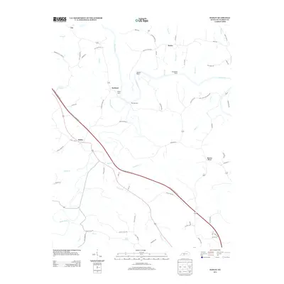 2013 Hadley2013 Print · USGSThe river valleys of Warren County appear in detail during the early 2000s, centered on the confluence of the Barren River and Gasper River. Researchers can trace old family roads and river landmarks like Sallys Rock, The Narrows, and the settlement of Rockland.
 - 2013 Map of Bristow, 2013 Print
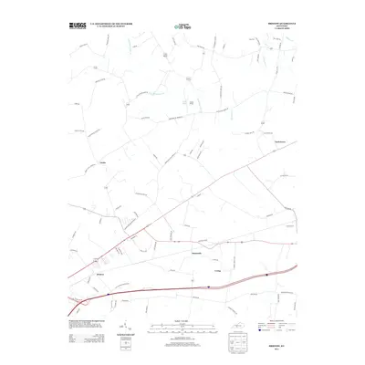 2013 Bristow2013 Print · USGSThe rural communities of Warren County are captured here in the early 2010s as traditional family landholdings meet modern infrastructure. Genealogists can trace family-named routes like Noah Bledsoe Rd and locate burial sites at Long Cem or the Tony Houchin marker.
 - 2013 Map of Riverside, 2013 Print
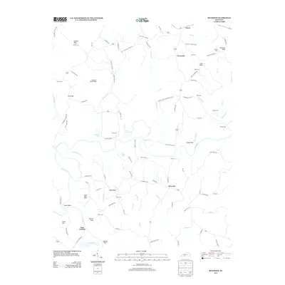 2013 Riverside2013 Print · USGSRiverside and the surrounding Warren County countryside are shown here at the start of the twenty-first century. Genealogists can trace family roots through numerous local sites like White Cem, Threlkel Cem, and the settlement at Clark Landing.
 - 2013 Map of Bowling Green North, 2013 Print
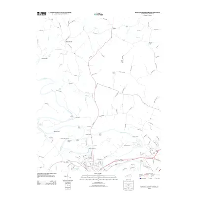 2013 Bowling Green North2013 Print · USGSThe Barren River corridor north of the city is captured here in the early 21st century, revealing a landscape of river islands and rural settlements. Researchers can trace family history through sites like Taylor Cem and the Isaac Stephens Family Cem, or locate landmarks such as Hudgens Bridge and Sand Hill.
 - 2013 Map of Park City, 2013 Print
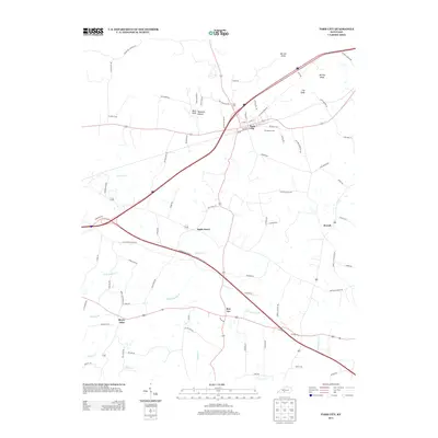 2013 Park City2013 Print · USGSPark City and the surrounding Barren County countryside are shown here in the early twenty-first century as modern highways overlay old regional routes. Genealogists and local historians can trace family land near Bon Ayr, Merry Oaks, and the historic Evergreen Cem.
Showing maps 1-25 of 72
Top cities of Warren County
- Bowling Green historical maps
- Smiths Grove historical maps
- Plum Springs historical maps
- Woodburn historical maps
- Oakland historical maps
Frequently asked questions
- What are the different types of historical maps available for Warren County?
- What is the oldest map of Warren County?
- Where can I purchase historical maps of Warren County for my home or office?
- Where can I download high-res historical maps of Warren County?
- Are there historical topographic maps available for Warren County?
- Is there historical aerial imagery available for Warren County?
- Where are historical maps of Warren County sourced from?