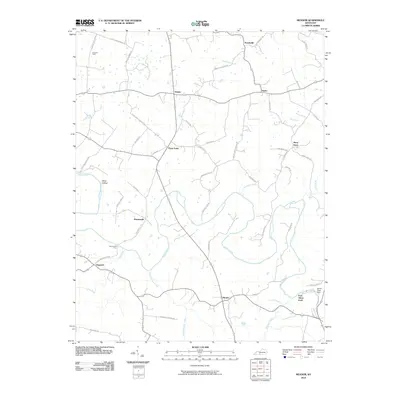
2010 Map of Meador
USGS Topo · Published 2010About this map
The Barren River winds through this landscape of small rural settlements and agricultural roads, defining the geography of Warren County at the opening of the 21st century. The river's influence on local history is evident in the numerous crossing points and hydraulic landmarks, such as Martinsville Ford, Port Oliver Ford, and the Barren River Dam located in the southeast corner. These features highlight the area's transition from traditional river crossings to modern water management.
Find a feature on this map
57 named features on this map. Tap any name to fly to it.
Don’t see what you’re looking for? This feature index may not catch every label — zoom into the map to look around manually.
Map Details
Editions of this 2010 Meador Map
This is the sole edition of this map. No revisions or reprints were ever made.
Other maps of this area

1921 · Bowling Green
USGS Topo · 1:62,500

1922 · Brownsville
USGS Topo · 1:62,500

1922 · Mammoth Cave
USGS Topo · 1:62,500

1923 · Bowling Green
USGS Topo · 1:62,500

1923 · Mammoth Cave
USGS Topo · 1:62,500

1923 · Brownsville
USGS Topo · 1:62,500

1926 · Scottsville
USGS Topo · 1:62,500

1954 · Evansville
USGS Topo · 1:250,000

1954 · Austin
USGS Topo · 1:24,000

1954 · Bristow
USGS Topo · 1:24,000