2010s Maps of Wayne County, Kentucky
Explore 64 historic maps of Wayne County from the 2010s. These maps offer a rare glimpse into what life looked like during the 2010s — showing old roads, neighborhoods, homes, and landmarks that have changed or disappeared over time.
Whether you're researching your family's past, planning a metal detecting trip, or studying how Wayne County's landscape evolved across the 2010s, these high-resolution maps are a powerful tool for exploring the history of this region.
- Focus on a specific era: All maps on this page are from the 2010s, giving you a focused view of this time period.
- See what’s changed: Compare century-old streets, trails, and buildings to today's modern landscape using overlays and satellite layers.
- Research with precision: Use these maps for genealogy, historical research, land use analysis, or educational projects.
- View, download, or print: Maps are fully viewable online in high resolution, and can be downloaded or printed for your own records.
Start exploring Wayne County's history through authentic maps from the 2010s. This is your window into the past.
Wayne County, KY maps
(64)- 2010 Map of Savage, 2010 Print
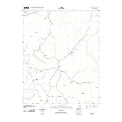 2010 Savage2010 Print · USGSClinton County at the turn of the decade reveals a landscape of high ridges and deep valleys centered around the community of Savage. Genealogists can trace family heritage at Savage Cemetery and Beaty Cemetery, or locate old landmarks like Jones Mill.
 - 2010 Map of Cumberland City, 2010 Print
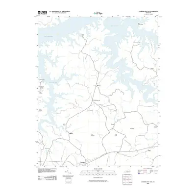 2010 Cumberland City2010 Print · USGSClinton County's rolling landscape meets the deep waters of the reservoir in the early twenty-first century. Genealogists and local historians can trace legacy landmarks like Brumley Cemetery, the crossroads at Cumberland City, and the shoreline at Grider Hill Dock.
 - 2010 Map of Jamestown, 2010 Print
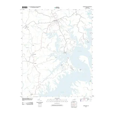 2010 Jamestown2010 Print · USGSRussell County's lake-front landscape is captured here in the early twenty-first century as the waters of Lake Cumberland reach deep into the Kentucky hills. Researchers can trace rural communities like Rowena and Freedom or locate family sites at Lawless Cemetery and Murray Cemetery.
 - 2010 Map of Mill Springs, 2010 Print
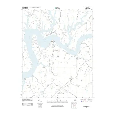 2010 Mill Springs2010 Print · USGSSouthern Kentucky's river landscape is captured here in the early twenty-first century as the Cumberland River winds through the hills. Genealogists can trace family heritage through several burial sites like Morrow Cemetery and Sloan Cemetery near the settlement of Mill Springs.
 - 2010 Map of Parnell, 2010 Print
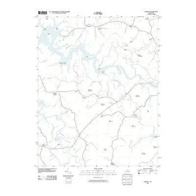 2010 Parnell2010 Print · USGSWayne County's rural communities and complex waterways are captured here at the start of the 2010s. Researchers can locate family-named landmarks and historical burial sites like Old Bethel Cemetery, Beck-Rector Cemetery, and the community of Parnell.
 - 2010 Map of Frazer, 2010 Print
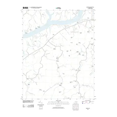 2010 Frazer2010 Print · USGSWayne County, Kentucky, in the early twenty-first century shows a landscape where deep-rooted family names still mark the land. Genealogists can trace ancestral sites at Stiggall Cemetery or Hutchinson Cemetery Number Two and locate old homesteads near Hardwick and Betsey.
 - 2010 Map of Monticello, 2010 Print
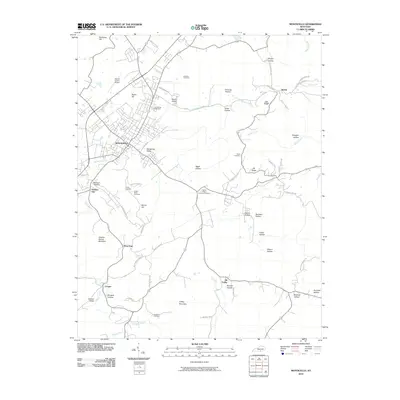 2010 Monticello2010 Print · USGSMonticello and its surrounding Wayne County hollows are captured here during the early twenty-first century. Genealogists and local historians can trace family locations through numerous sites like Green Betty Cemetery, Sandusky Cemetery, and the settlement at Oil Valley.
 - 2010 Map of Jabez, 2010 Print
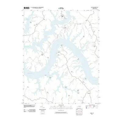 2010 Jabez2010 Print · USGSThe intricate shoreline of Lake Cumberland and the high ridges of south-central Kentucky are shown here in the early twenty-first century. Researchers can trace family history at the Military Cemetery or locate old homesteads near Jabez and Ono.
 - 2010 Map of Powersburg, 2010 Print
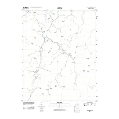 2010 Powersburg2010 Print · USGSWayne County's rural uplands are shown in detail during the early 21st century, centered on the Otter Creek drainage. Local historians can locate family burial grounds like Catron Cemetery and Morgan Cemetery or trace old routes through Slickford and Jimtown.
 - 2010 Map of Sharp Place, 2010 Print
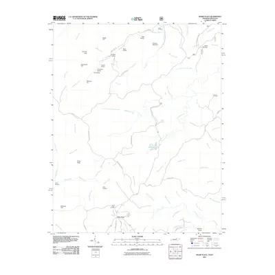 2010 Sharp Place2010 Print · USGSThe Tennessee-Kentucky border comes alive in this 2010 survey of the plateau near Sharp Place. Genealogists and hikers can trace family sites at Sharp Place Cemetery or locate natural landmarks like Chimney Rock and Pickett Lake.
 - 2010 Map of Burnside, 2010 Print
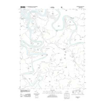 2010 Burnside2010 Print · USGSThe Cumberland River valley is captured here in the early twenty-first century as it winds through Pulaski County. Researchers can trace rural lineages through local landmarks like Cave Springs Cemetery or locate the historic river settlements of Sloans Valley and Alpine.
 - 2010 Map of Bell Farm, 2010 Print
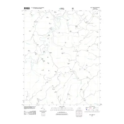 2010 Bell Farm2010 Print · USGSThe northern reaches of the Big South Fork area appear here in the early twenty-first century, showing a landscape of isolated hollows and high ridges. Genealogists can trace family locations through numerous sites like Barrier Cemetery, Griffin Cemetery, and the remote Skullbone Lookout Tower.
 - 2010 Map of Nevelsville, 2010 Print
 2010 Nevelsville2010 Print · USGSThe Big South Fork of the Cumberland River dominates this McCreary County landscape in the early 2000s. Researchers can trace local history through family sites like Keith Cemetery and Morton Station or explore river landmarks such as Pinnacle Rock and Hens Nest Cliff.
 - 2011 Map of Coopersville, 2011 Print
 2011 Coopersville2011 Print · USGSSouthern Kentucky uplands in the early twenty-first century reveal a network of ridge-top settlements and deep hollows. Researchers can trace family history through local landmarks like Kidd Cemetery, Slavans, and the distinct Pilot Rock formation.
 - 2011 Map of Pall Mall, 2011 Print
 2011 Pall Mall2011 Print · USGSPickett County, Tennessee, is shown here in the early twenty-first century as a landscape of valley settlements and family burial grounds. Researchers can trace local lineages at Wolf River Cemetery or locate the Pall Mall Post Office and Leffew Mine.
 - 2011 Map of Parmleysville, 2011 Print
 2011 Parmleysville2011 Print · USGSWayne County, Kentucky, is seen here in the early twenty-first century, showing a landscape shaped by narrow hollows and high knobs. Researchers can trace local heritage along Old Huffaker School Rd and near the settlements of Parmleysville and Burfield.
 - 2013 Map of Bell Farm, 2013 Print
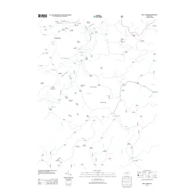 2013 Bell Farm2013 Print · USGSThe hollows of Wayne County are shown here in the early 2010s, where traditional river crossings and family cemeteries define the landscape. Genealogists can locate family burial grounds like the Barrier Cem Number 2 and trace old river fords including Steele Ford.
 - 2013 Map of Burnside, 2013 Print
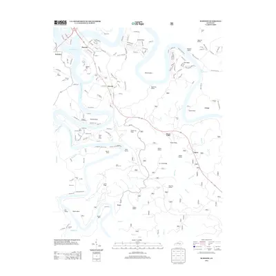 2013 Burnside2013 Print · USGSPulaski County at the height of its modern lake-country development shows a landscape shaped by the waters of the Cumberland. Genealogists can trace family names through numerous remote burial sites like Gourd Cem and Mayfield Cem or the settlement at Keno.
 - 2013 Map of Mill Springs, 2013 Print
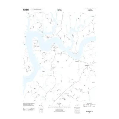 2013 Mill Springs2013 Print · USGSNorth of Monticello in the early twenty-first century, the shoreline of Lake Cumberland shapes the geography of this rural Kentucky landscape. Genealogists and local historians can trace family locations near Mill Springs and locate older burial sites like Morrow Cem and Smith Cem.
 - 2013 Map of Monticello, 2013 Print
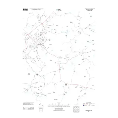 2013 Monticello2013 Print · USGSWayne County is documented here at a time when rural homesteads and family legacy define the hills around Monticello. Genealogists and local historians can trace hundreds of family sites, including the Benjamin F Coffey Cem and the Spann Lookout Tower.
 - 2013 Map of Powersburg, 2013 Print
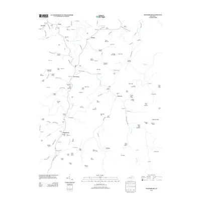 2013 Powersburg2013 Print · USGSWayne County’s rural highlands come into focus in the early 21st century, revealing a landscape where family lineages are tied to specific hollows and ridges. Genealogists can trace family footprints through dozens of local sites like Huffaker Bridgeman Cem, Sunnybrook, and the Oil Well Hole.
 - 2013 Map of Jabez, 2013 Print
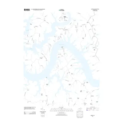 2013 Jabez2013 Print · USGSThe intricate shoreline of Lake Cumberland defines this section of Kentucky in the early twenty-first century. Researchers can trace family history through numerous ridge-top burial sites like Hatfield Cem and Rogers Cem or locate the site of Camp Earl Wallace.
 - 2013 Map of Parmleysville, 2013 Print
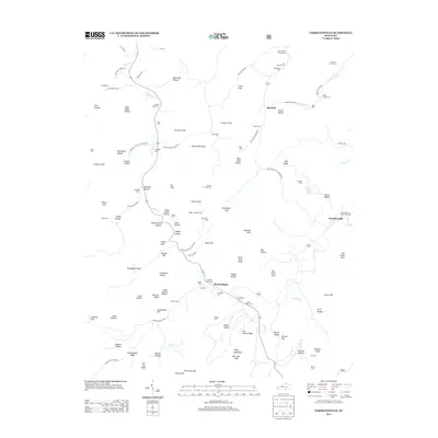 2013 Parmleysville2013 Print · USGSWayne County’s southern ridges are captured here during the early twenty-first century, showing a landscape of deep hollows and family-named landmarks. Researchers can locate numerous family burial sites like the Lewis Coffey Family Cem or trace the area's geography from the Pisgah Lookout Tower to Parmleysville.
 - 2013 Map of Parnell, 2013 Print
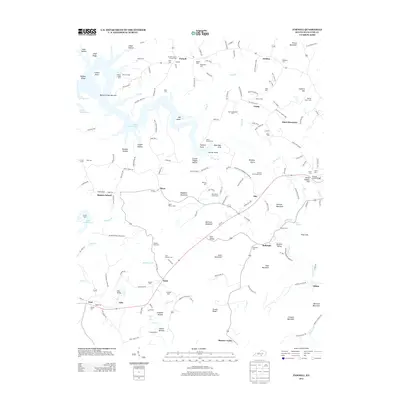 2013 Parnell2013 Print · USGSWayne County's ridges and hollows are captured here in the early twenty-first century, showing a landscape defined by Lake Cumberland and deep-rooted family settlements. Genealogists can trace numerous burial sites like Old Bethel Cem and the Garrett Cem near the communities of Susie and Zula.
 - 2013 Map of Frazer, 2013 Print
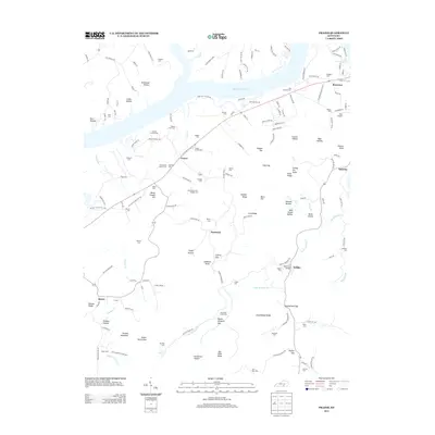 2013 Frazer2013 Print · USGSWayne County's rolling highlands and the southern banks of Lake Cumberland are captured here in the early twenty-first century. Genealogists can locate dozens of remote family burial sites, including the Barker Family Cem, Corbit Family Cem, and J S Hardwick Cem.
Showing maps 1-25 of 64
Top cities of Wayne County
Frequently asked questions
- What are the different types of historical maps available for Wayne County?
- What is the oldest map of Wayne County?
- Where can I purchase historical maps of Wayne County for my home or office?
- Where can I download high-res historical maps of Wayne County?
- Are there historical topographic maps available for Wayne County?
- Is there historical aerial imagery available for Wayne County?
- Where are historical maps of Wayne County sourced from?