2020s Maps of Wayne County, Kentucky
Explore 16 historic maps of Wayne County from the 2020s. These maps offer a rare glimpse into what life looked like during the 2020s — showing old roads, neighborhoods, homes, and landmarks that have changed or disappeared over time.
Whether you're researching your family's past, planning a metal detecting trip, or studying how Wayne County's landscape evolved across the 2020s, these high-resolution maps are a powerful tool for exploring the history of this region.
- Focus on a specific era: All maps on this page are from the 2020s, giving you a focused view of this time period.
- See what’s changed: Compare century-old streets, trails, and buildings to today's modern landscape using overlays and satellite layers.
- Research with precision: Use these maps for genealogy, historical research, land use analysis, or educational projects.
- View, download, or print: Maps are fully viewable online in high resolution, and can be downloaded or printed for your own records.
Start exploring Wayne County's history through authentic maps from the 2020s. This is your window into the past.
Wayne County, KY maps
(16)- 2022 Map of Pall Mall, 2022 Print
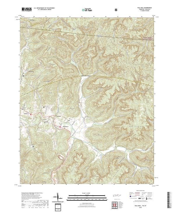 2022 Pall Mall2022 Print · USGSThe Wolf River valley in Fentress County reveals a landscape of enduring rural settlements and family landmarks. Genealogists can locate several historic burial grounds, including Wolf River Cem and Travisville Cem, along with the communities of Pall Mall and Forbus.
 - 2022 Map of Sharp Place, 2022 Print
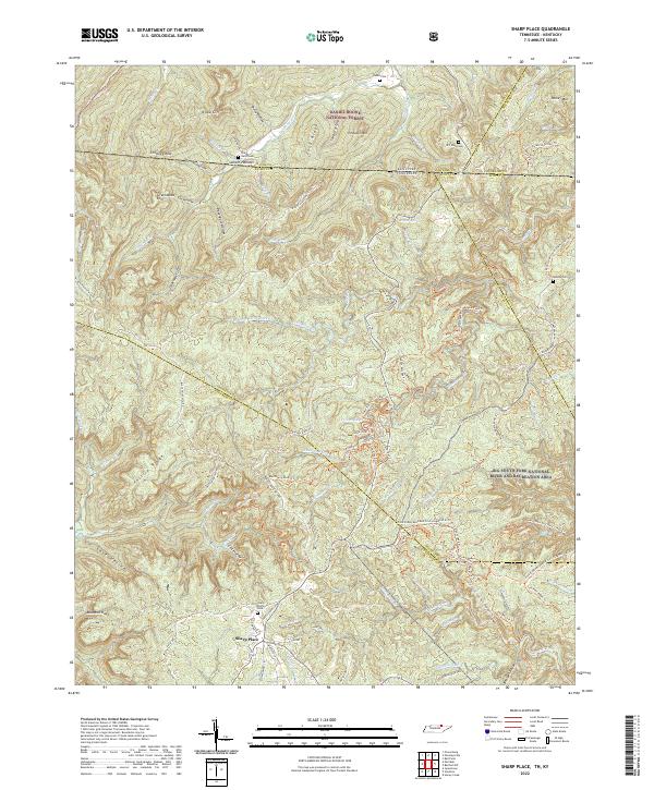 2022 Sharp Place2022 Print · USGSThe Tennessee-Kentucky borderlands come into focus in the early 2020s, showing a landscape defined by deep ridges and protected forests. Family historians can locate several local burial sites including Sharp Cem, Blevins Cem, and the Sharp Place Cem.
 - 2022 Map of Parmleysville, 2022 Print
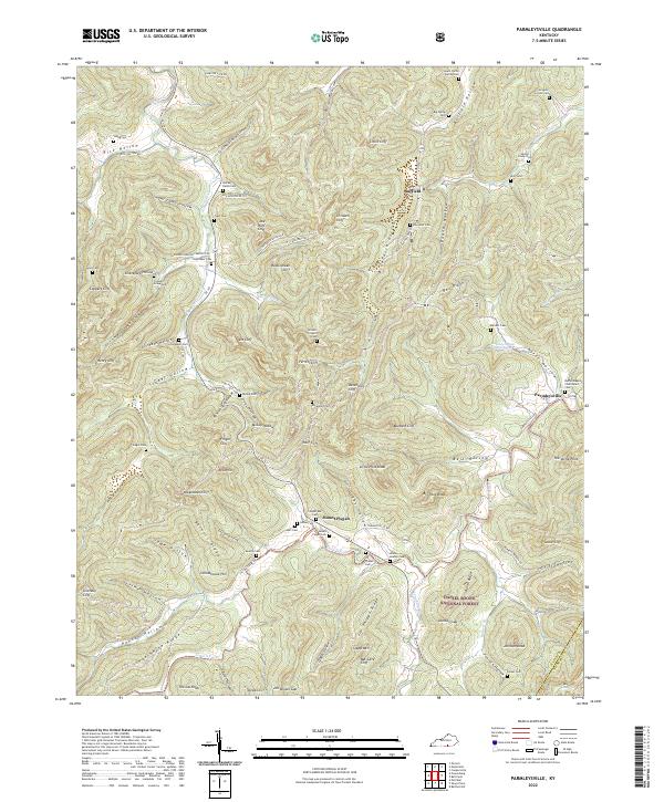 2022 Parmleysville2022 Print · USGSThe ridges and hollows of southern Kentucky are mapped here in the early twenty-first century, showing the enduring footprint of rural communities. Genealogists can locate family landmarks like the Hucaby-Eaton Cem, Campbell Cem, and the historic Bethel Baptist Churchyard Cem.
 - 2022 Map of Coopersville, 2022 Print
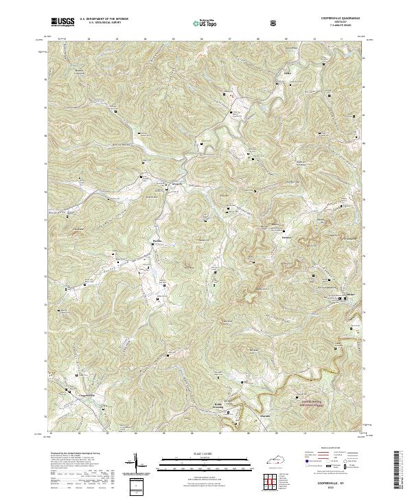 2022 Coopersville2022 Print · USGSThe limestone cliffs and winding hollows of Wayne County are shown in detail here. Genealogists can trace family names through dozens of sites like the Shade Thompson Cem and settlements such as Coopersville and Pueblo.
 - 2022 Map of Savage, 2022 Print
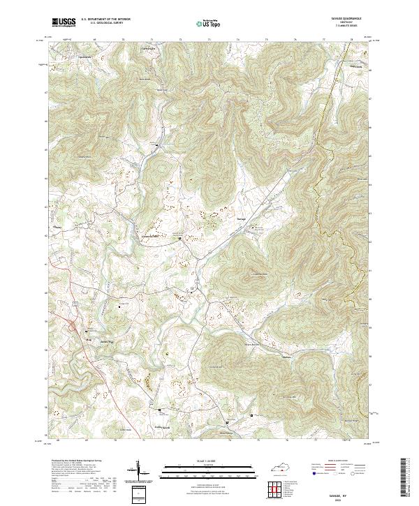 2022 Savage2022 Print · USGSThe hills and hollows of eastern Clinton County are documented in this recent survey, capturing a landscape defined by ridges and family-run homesteads. Genealogists and historians can trace local landmarks like Cannons Mill, Savage Cem, and Oak Grove Church Cem.
 - 2022 Map of Powersburg, 2022 Print
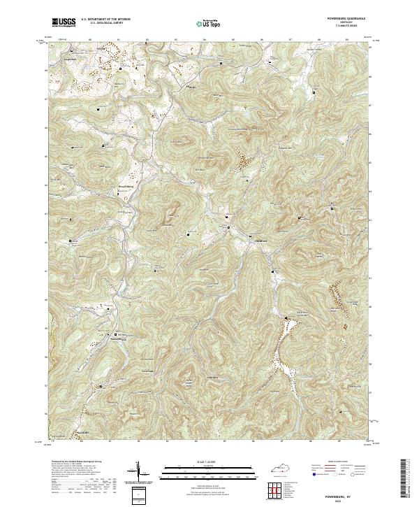 2022 Powersburg2022 Print · USGSWayne County is documented here in its modern state, preserving the legacy of remote upland settlements and old family cemeteries. Genealogists can trace family roots at the Indian Graveyard, Buck Graveyard, or Bertram Cem near Powersburg.
 - 2022 Map of Bell Farm, 2022 Print
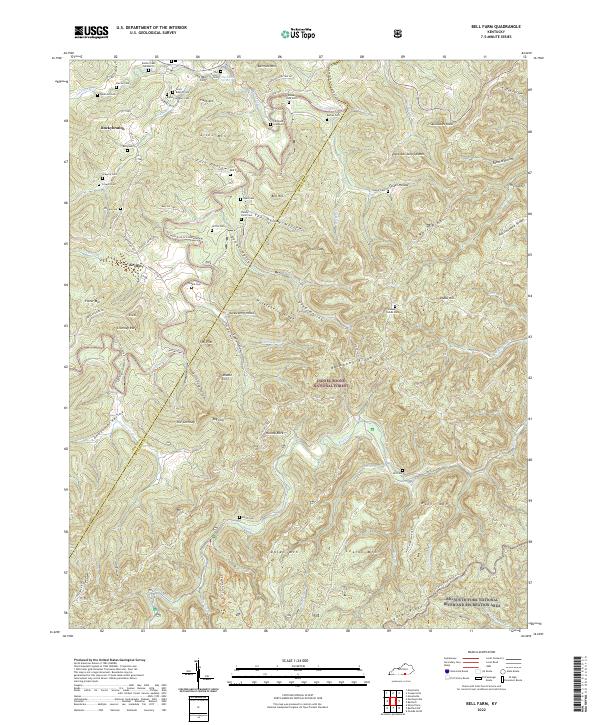 2022 Bell Farm2022 Print · USGSThe rugged McCreary and Wayne County border country is shown here in detail, where ridges like Backbone Ridge meet the river forks. Genealogists can trace family names across dozens of sites like Rigney-Gregory Cem, Phillips Cem, and the Denny Farm Cem.
 - 2022 Map of Mill Springs, 2022 Print
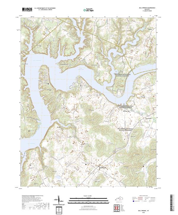 2022 Mill Springs2022 Print · USGSWayne County and the shores of Lake Cumberland are shown here in the 2020s, dominated by Civil War sites. You can trace the boundaries of the Mill Springs Battlefield National Monument or locate family burial grounds like Cumberland Cem and Norman Cem.
 - 2022 Map of Jabez, 2022 Print
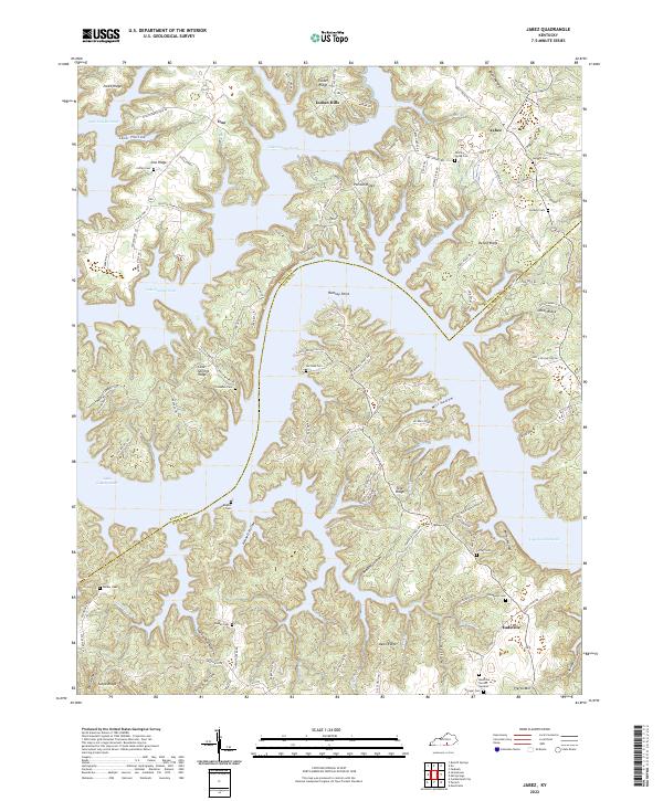 2022 Jabez2022 Print · USGSWayne and Russell counties are captured in this modern survey as the waters of Lake Cumberland weave through the hilly Kentucky terrain. Researchers can trace family history through numerous local sites like Eadsville, Stringer Cem, and Rogers Cem.
 - 2022 Map of Monticello, 2022 Print
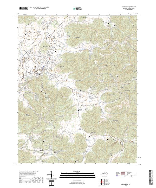 2022 Monticello2022 Print · USGSMonticello and the Kentucky highlands of Wayne County are shown here in detail during the early twenty-first century. Genealogists and local historians can trace hundreds of family sites, from the Ingram Family Plot to the Collum and Selena Coffey Cem and the Frisbie Cem.
 - 2022 Map of Nevelsville, 2022 Print
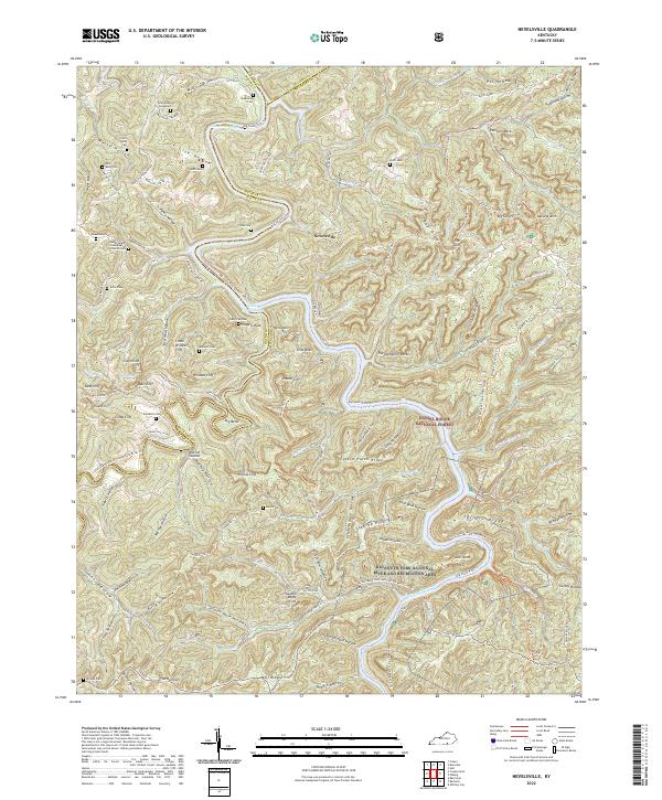 2022 Nevelsville2022 Print · USGSSettled along the intricate river forks of Southern Kentucky, this modern survey shows the enduring family landmarks of the Cumberlands. Trace ancestral sites at Jonesville Cem, Morton Station, and the Gran Young Graveyard.
 - 2022 Map of Parnell, 2022 Print
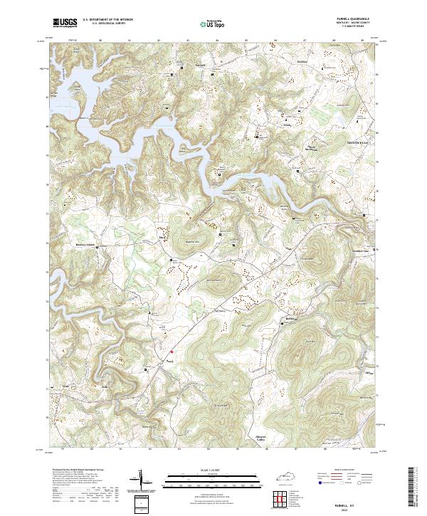 2022 Parnell2022 Print · USGSWayne County, Kentucky, is defined here by the winding shoreline of Lake Cumberland and the high ridges of the Cumberland Plateau. Researchers can trace ancestral roots through numerous family burial grounds like Alley Cem and Lucy Shearer Cem or explore the rural settlements of Parnell and Susie.
 - 2022 Map of Frazer, 2022 Print
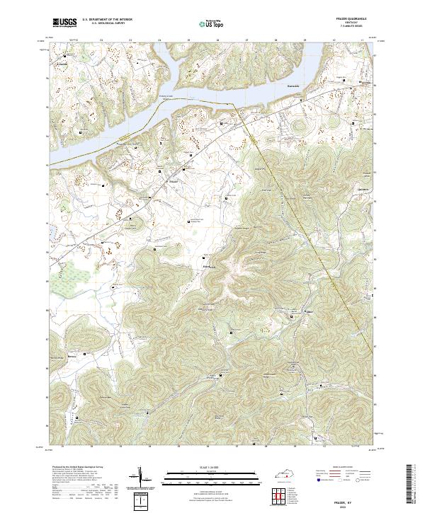 2022 Frazer2022 Print · USGSSouth-central Kentucky hill country meets the waters of Lake Cumberland in this recent survey of the Wayne and Pulaski county line. Genealogists can trace family heritage through dozens of documented sites like the Barker Family Cem, Indian Grave Gap, and Hardwick.
 - 2022 Map of Burnside, 2022 Print
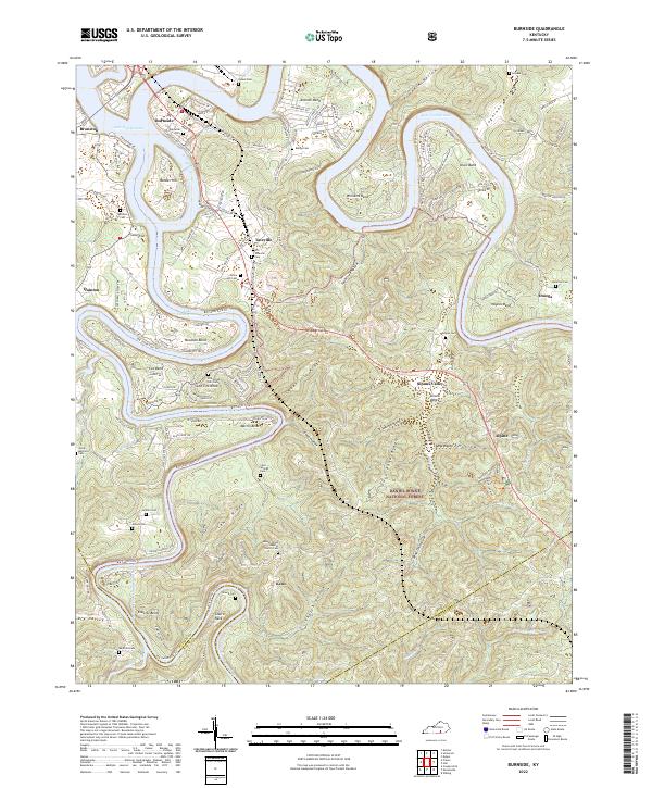 2022 Burnside2022 Print · USGSThe Cumberland River loops through Pulaski County in the early twenty-first century, revealing a landscape of steep hollows and high ridges. Researchers can trace numerous family burial grounds including Old Tateville and Grave Hill Cem, or locate riverside settlements like Burnside and Sloans Valley.
 - 2022 Map of Jamestown, 2022 Print
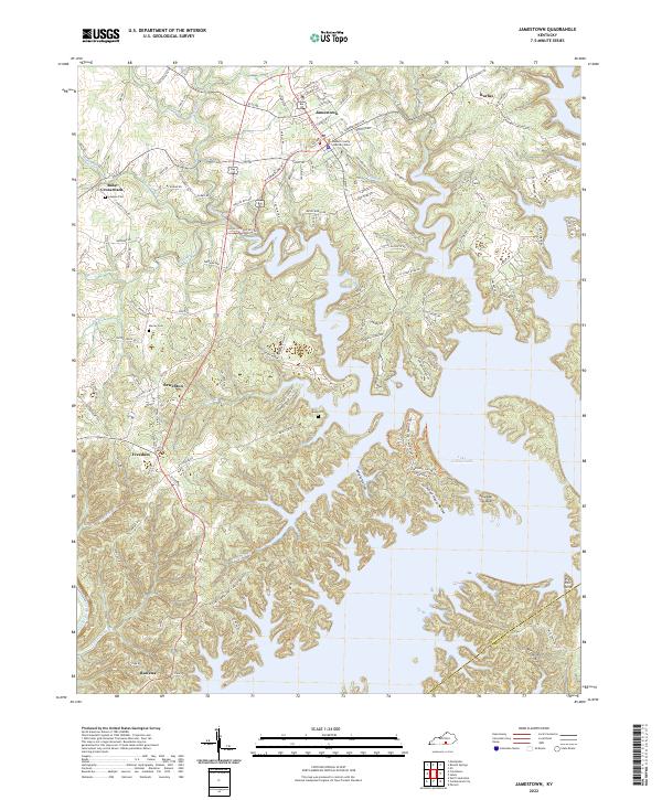 2022 Jamestown2022 Print · USGSJamestown and the northern reaches of Lake Cumberland are shown here in the early 2020s, highlighting the area's intricate shoreline and rural crossroads. Researchers can trace family roots at Keen Cemetery or explore the civic layout of Jamestown and Sewellton.
 - 2022 Map of Cumberland City, 2022 Print
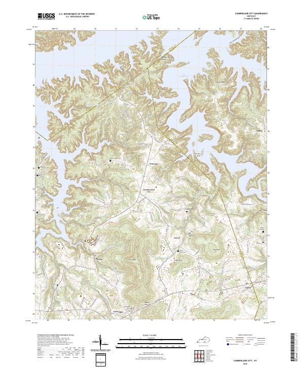 2022 Cumberland City2022 Print · USGSClinton County's rolling ridge country and the shores of Lake Cumberland appear here in the early twenty-first century. Genealogists can locate family landmarks such as McWhorter Cem, Walnut Grove Church, and the rural settlement of Cumberland City.
End of results
Showing maps 1-16 of 16
Top cities of Wayne County
Frequently asked questions
- What are the different types of historical maps available for Wayne County?
- What is the oldest map of Wayne County?
- Where can I purchase historical maps of Wayne County for my home or office?
- Where can I download high-res historical maps of Wayne County?
- Are there historical topographic maps available for Wayne County?
- Is there historical aerial imagery available for Wayne County?
- Where are historical maps of Wayne County sourced from?