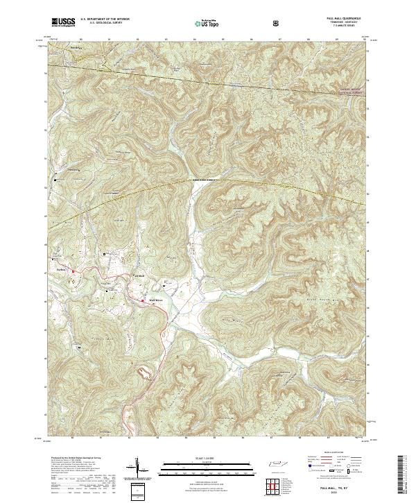
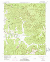
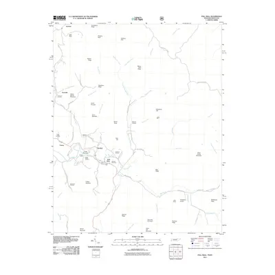
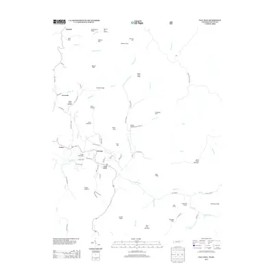
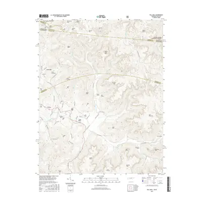
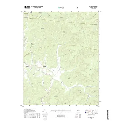
2022 Map of Pall Mall
USGS Topo · Published 2022About this map
The Wolf River snakes through the valley floors of this Fentress County landscape, providing a fertile basin for the settlements of Pall Mall and Wolf River. This area is characterized by a high concentration of small, family-associated cemeteries, including Wolf River Cem, Upchurch Cem, and Reed Creek Cem, reflecting a long-established rural community structure where kinship and land are closely tied. To the north, the terrain transitions into the dense ridges of the Daniel Boone National Forest, where the state line divides Tennessee and Kentucky.
Find a feature on this map
87 named features on this map. Tap any name to fly to it.
Don’t see what you’re looking for? This feature index may not catch every label — zoom into the map to look around manually.
Map Details
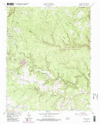
Editions of this 2022 Pall Mall Map
This is the sole edition of this map. No revisions or reprints were ever made.
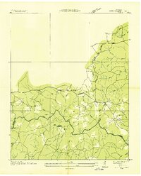
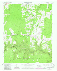
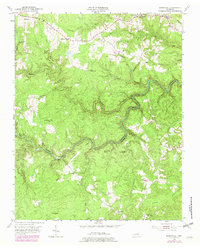
Historical Maps of Travisville Through Time
37 maps found
1936 Jones Knob
Fentress County, TN
1949 Jones Knob
Fentress County, TN
1954 Burrville
Fentress County, TN
1954 Pall Mall
Fentress County, TN
1954 Stockton
Fentress County, TN
1955 Wilder
Fentress County, TN
1956 Riverton
Fentress County, TN
2010 Burrville
Fentress County, TN
2010 Jones Knob
Fentress County, TN
2010 Riverton
Fentress County, TN
2010 Stockton
Fentress County, TN
2010 Wilder
Fentress County, TN
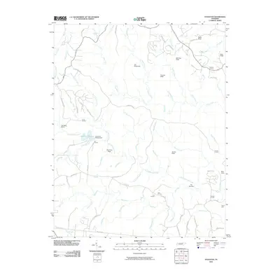
2011 Pall Mall
Fentress County, TN
2013 Burrville
Fentress County, TN
2013 Jones Knob
Fentress County, TN
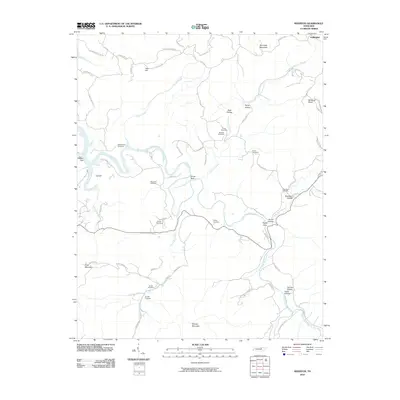
2013 Pall Mall
Fentress County, TN
2013 Riverton
Fentress County, TN
2013 Stockton
Fentress County, TN
2013 Wilder
Fentress County, TN
2016 Burrville
Fentress County, TN
2016 Jones Knob
Fentress County, TN
2016 Pall Mall
Fentress County, TN
2016 Riverton
Fentress County, TN
2016 Stockton
Fentress County, TN
2016 Wilder
Fentress County, TN
2019 Burrville
Fentress County, TN
2019 Jones Knob
Fentress County, TN
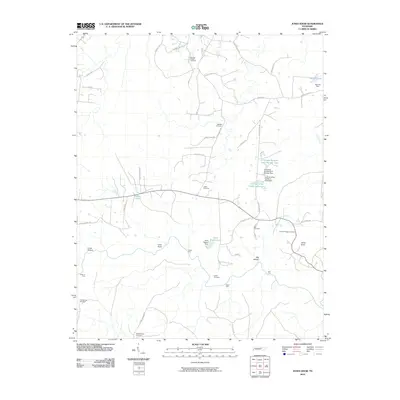
2019 Pall Mall
Fentress County, TN
2019 Riverton
Fentress County, TN
2019 Stockton
Fentress County, TN
2019 Wilder
Fentress County, TN
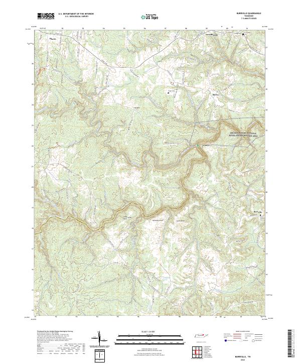
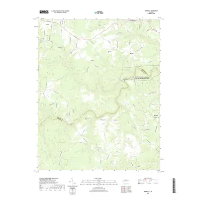
2022 Burrville
Fentress County, TN
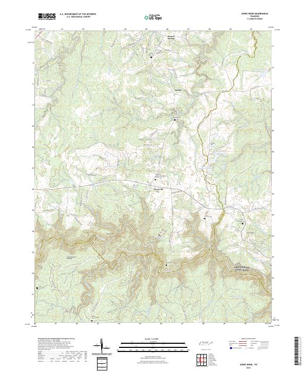
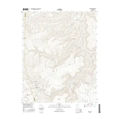
2022 Jones Knob
Fentress County, TN
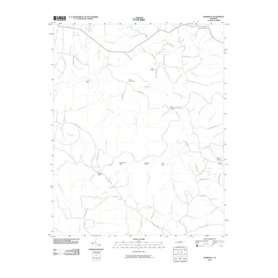
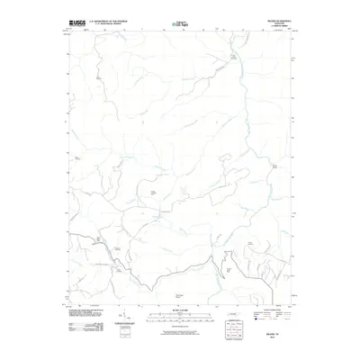
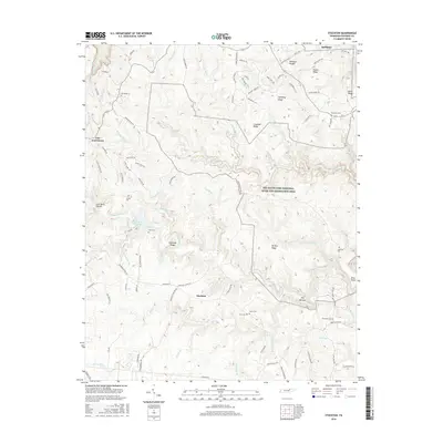
2022 Pall Mall
Fentress County, TN
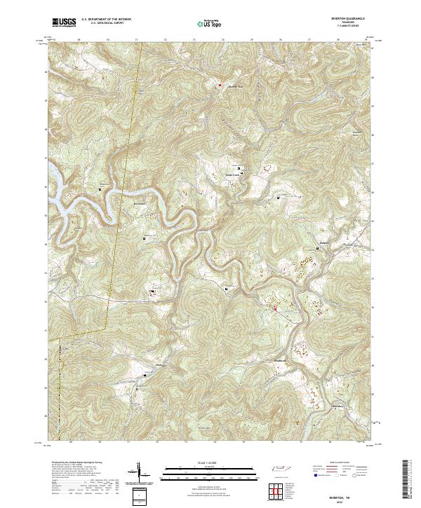
2022 Riverton
Fentress County, TN
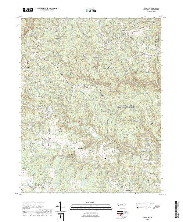
2022 Stockton
Fentress County, TN
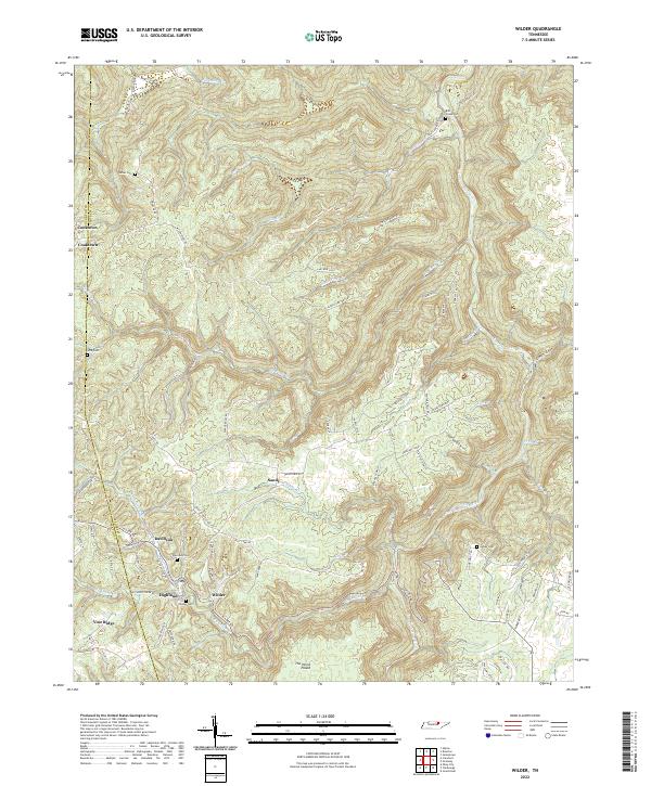
2022 Wilder
Fentress County, TN