2000s (21st Century) Maps of Whitley County, Kentucky
Explore 75 historic maps of Whitley County from the 2000s (21st Century). These maps offer a rare glimpse into what life looked like during the 2000s — showing old roads, neighborhoods, homes, and landmarks that have changed or disappeared over time.
Whether you're researching your family's past, planning a metal detecting trip, or studying how Whitley County's landscape evolved across the 2000s, these high-resolution maps are a powerful tool for exploring the history of this region.
- Focus on a specific era: All maps on this page are from the 2000s, giving you a focused view of this time period.
- See what’s changed: Compare century-old streets, trails, and buildings to today's modern landscape using overlays and satellite layers.
- Research with precision: Use these maps for genealogy, historical research, land use analysis, or educational projects.
- View, download, or print: Maps are fully viewable online in high resolution, and can be downloaded or printed for your own records.
Start exploring Whitley County's history through authentic maps from the 2000s. This is your window into the past.
Whitley County, KY maps
(75)- 2010 Map of Rockholds, 2010 Print
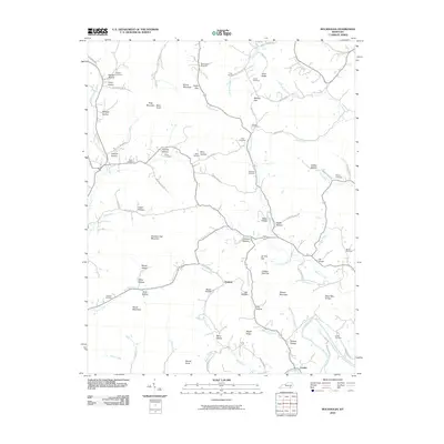 2010 Rockholds2010 Print · USGSWhitley County hill country in 2010 is shown here in high detail, from the banks of the Cumberland River to the ridges above Louden. Researchers can trace family names through dozens of landmarks like Hill Chapel, Dead Man Hollow, and McNeil Cemetery.
 - 2010 Map of Barbourville, 2010 Print
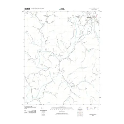 2010 Barbourville2010 Print · USGSBarbourville and the surrounding Kentucky hills are captured here as they appeared in 2010. Genealogists can locate dozens of family burial grounds such as Adam and Eve Cemetery and Glasscock Cemetery or trace the rural post office at Bryants Store Post Office.
 - 2010 Map of Frakes, 2010 Print
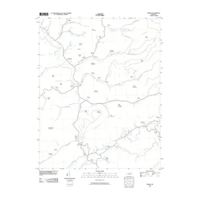 2010 Frakes2010 Print · USGSWhitley County, Kentucky, is documented here in the early twenty-first century as a land of tight valleys and family-named ridges. Genealogists can locate legacy sites like McKiddy Cemetery and Goins Cemetery near settlements such as Siler and Pearl.
 - 2010 Map of Eagan, 2010 Print
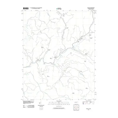 2010 Eagan2010 Print · USGSThe Tennessee-Kentucky border comes into focus in this recent survey of Appalachia's mining heartland. Local historians can trace family roots through the Partin Cemetery or locate industrial sites like the Upper Eagan Mine and Arnold Number Two Mine.
 - 2010 Map of Ketchen, 2010 Print
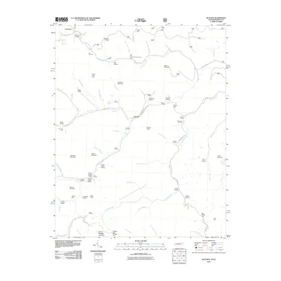 2010 Ketchen2010 Print · USGSThe Tennessee-Kentucky borderlands appear in detail at the turn of the 21st century, showing a landscape of mining and mountain hollows. Genealogists can locate family burial sites like Blankenship Cemetery and Adkins Cemetery near the Gum Fork Mine.
 - 2010 Map of Williamsburg, 2010 Print
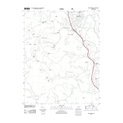 2010 Williamsburg2010 Print · USGSWhitley County, Kentucky, is shown in the early twenty-first century as the Cumberland River winds around the city of Williamsburg. Genealogists and local historians can trace family roots through Highland Cemetery, Thomas Cemetery, and the many named ridges and hollows like Sugar Betty Hollow.
 - 2010 Map of Wofford, 2010 Print
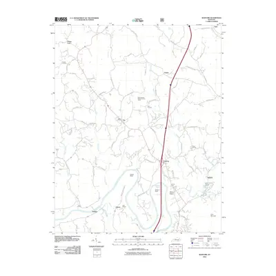 2010 Wofford2010 Print · USGSWhitley County's river-driven landscape is shown in detail here during the early 21st century. Genealogists and local historians can locate ancestral sites like Sutton Cemetery and Steely Cemetery, or trace the path of the Cumberland River near Goldbug.
 - 2010 Map of Sawyer, 2010 Print
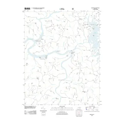 2010 Sawyer2010 Print · USGSMcCreary County at the start of the 2010s reveals a landscape deeply integrated with the Daniel Boone National Forest and Lake Cumberland. Local historians can trace family ties and community landmarks from Sawyer to Baldrock, including the Price Cemetery and Hamilton Cemetery.
 - 2010 Map of Corbin, 2010 Print
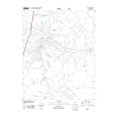 2010 Corbin2010 Print · USGSSoutheastern Kentucky is captured here during a period of transition for its classic railroad and highway towns. Genealogists and historians can locate family burial sites at Liberty Cemetery and Sharp Cemetery or trace the early development of Corbin and Woodbine.
 - 2010 Map of Hollyhill, 2010 Print
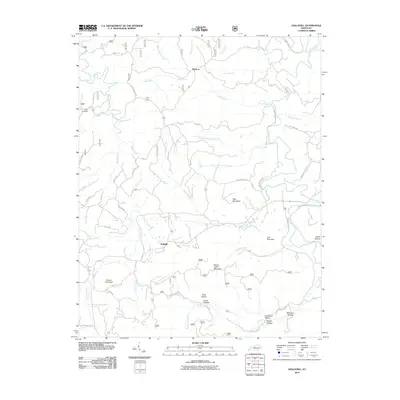 2010 Hollyhill2010 Print · USGSSouthern McCreary County is shown in detail here during the early twenty-first century, featuring the rural settlements of Hollyhill and Duckrun. Researchers can trace old family names and community landmarks such as Laurel Cemetery, Granny Holt Knob, and Kidd School Rd.
 - 2010 Map of Cumberland Falls, 2010 Print
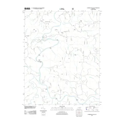 2010 Cumberland Falls2010 Print · USGSThe Cumberland River loops through the Daniel Boone National Forest near Honeybee in the early twenty-first century. Researchers can trace local heritage and geography through sites like Mariar Cemetery, Dog Slaughter Falls, and the Pinnacle Lookout Tower.
 - 2011 Map of Vox, 2011 Print
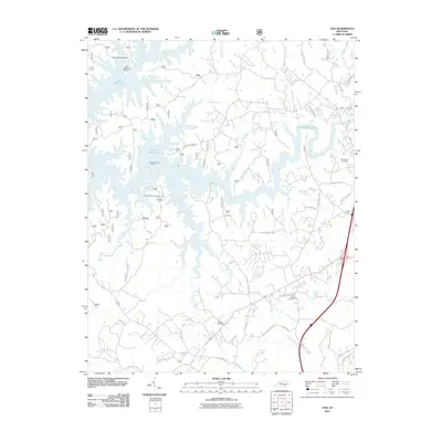 2011 Vox2011 Print · USGSIn the hills of southeastern Kentucky during the early 21st century, the intricate fingers of Laurel River Lake shape local geography. Researchers can trace family sites like Corinth Cemetery or locate landmarks such as the Corbin Speedway and the settlement at Vox.
 - 2011 Map of Jellico West, 2011 Print
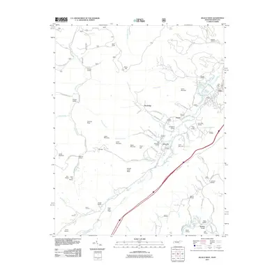 2011 Jellico West2011 Print · USGSThe mountain borderlands of Jellico and Newcomb are captured here in a period of modern development that still follows the footprints of old industry. Genealogists and local historians can locate numerous family burial sites like Beard Cemetery and Hackler Cemetery, or trace the industrial roots of Whistle Creek Mine.
 - 2011 Map of Jellico East, 2011 Print
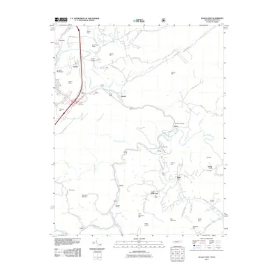 2011 Jellico East2011 Print · USGSThe Tennessee-Kentucky border comes alive in this early 21st-century survey of the coal-rich mountains near Jellico. Researchers can trace family sites and industrial roots through landmarks like the Morley Post Office, the Blue Rose Mine, and Chadwell Cemetery.
 - 2011 Map of Saxton, 2011 Print
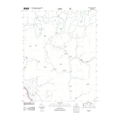 2011 Saxton2011 Print · USGSWhitley County’s rugged valley settlements are documented here during the early twenty-first century as the landscape transitioned through modern surveying. Researchers can trace family roots through Rains Cemetery or locate old community centers like Gatliff, Nevisdale, and Polly Camp.
 - 2013 Map of Wofford, 2013 Print
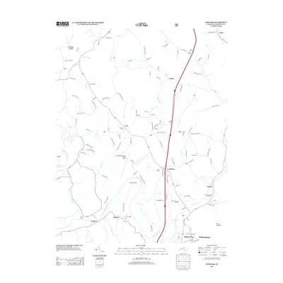 2013 Wofford2013 Print · USGSWhitley County at the start of the 2010s reveals a landscape defined by the winding Cumberland River and its rural settlements. Researchers can locate family landmarks such as Youngs Cem, Tuggle Cem, and the Gatliff State Fish Hatchery near Wofford.
 - 2013 Map of Saxton, 2013 Print
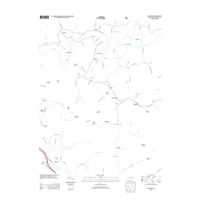 2013 Saxton2013 Print · USGSWhitley County in the early twenty-first century maintains its deep connection to the winding Cumberland River and its narrow mountain valleys. Genealogists can trace family heritage through local landmarks like Powers Cem, Baker Cemetery Rd, and the small community of Gatliff.
 - 2013 Map of Rockholds, 2013 Print
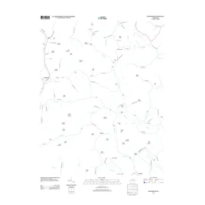 2013 Rockholds2013 Print · USGSAround the community of Rockholds in 2013, this portion of Whitley County reveals a landscape shaped by the Cumberland River. Researchers can locate family landmarks like Hill Chapel or find ancestral resting places at McFarland Cem and Walters Cem.
 - 2013 Map of Cumberland Falls, 2013 Print
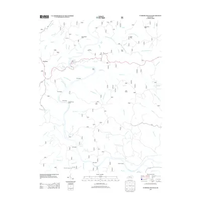 2013 Cumberland Falls2013 Print · USGSThe Cumberland River corridor in McCreary County comes alive in this modern survey, revealing a landscape of deep ridges and significant water features. Trace local landmarks like Honeybee, Mariar Cem, and the iconic Cumberland Falls.
 - 2013 Map of Vox, 2013 Print
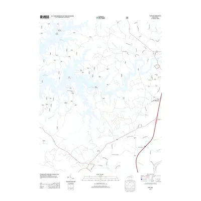 2013 Vox2013 Print · USGSSoutheast Kentucky's landscape near the Laurel River is shown here a decade ago, where recreation and rural tradition meet. Genealogists and local historians can locate McFarland Cem and Corinth Cem or trace the early paths of Oak Grove School Rd.
 - 2013 Map of Corbin, 2013 Print
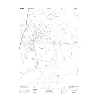 2013 Corbin2013 Print · USGSCorbin and the surrounding hills of southeastern Kentucky are captured here in the early twenty-first century as the area transitioned between its rail heritage and modern industry. Researchers can locate family landmarks like Resthaven Cem or trace the early paths of Old Barbourville Rd and Lynn Camp Cr.
 - 2013 Map of Hollyhill, 2013 Print
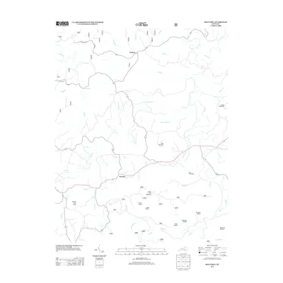 2013 Hollyhill2013 Print · USGSMcCreary County's upland landscape is captured here in the early twenty-first century, showing the rural communities of Hollyhill and Duckrun. Genealogists and local historians can trace family-named landmarks like Granny Holt Knob, Liza Mountain, and the Laurel Cem.
 - 2013 Map of Williamsburg, 2013 Print
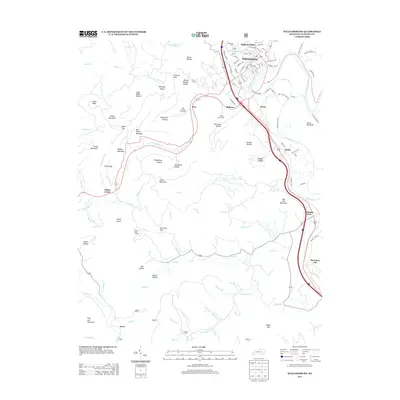 2013 Williamsburg2013 Print · USGSThe Cumberland River valley at Williamsburg is shown in detail during the early 2010s, illustrating the town's expansion alongside the Clear Fork. Genealogists and local historians can trace family locations near Highland Cem, the community of Pleasant View, and landmark heights like Jellico Mountain.
 - 2013 Map of Sawyer, 2013 Print
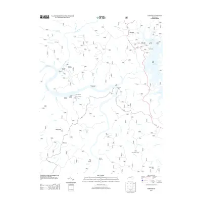 2013 Sawyer2013 Print · USGSThe river confluences of McCreary County are mapped here in the early twenty-first century as the region centers on forest recreation and water management. Researchers can trace family sites like Hamilton Cem and Price Cem or explore the developed shores of Lake Cumberland and Laurel River Lake.
 - 2013 Map of Frakes, 2013 Print
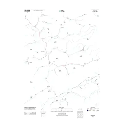 2013 Frakes2013 Print · USGSWhitley County's high ridges and winding creek beds are captured here in the early 2010s. Genealogists and local historians can locate several family burial grounds, including Wells and McKiddy, alongside landmarks like the Gatliff Lookout Tower.
Showing maps 1-25 of 75
Top cities of Whitley County
Frequently asked questions
- What are the different types of historical maps available for Whitley County?
- What is the oldest map of Whitley County?
- Where can I purchase historical maps of Whitley County for my home or office?
- Where can I download high-res historical maps of Whitley County?
- Are there historical topographic maps available for Whitley County?
- Is there historical aerial imagery available for Whitley County?
- Where are historical maps of Whitley County sourced from?