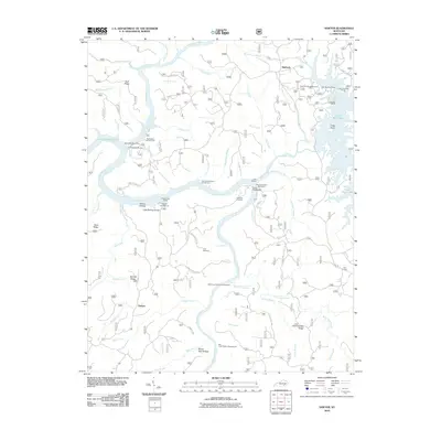
2010 Map of Sawyer
USGS Topo · Published 2010About this map
Cumberland River and Rockcastle River geography dominates this 2010 survey of McCreary County, where the southern reaches of Lake Cumberland meet the Daniel Boone National Forest. The map details a landscape defined by its water access and recreational infrastructure, featuring numerous sites such as the London Dock Marina, Holly Bay Recreation Area, and the Rockcastle Boat Ramp. Beyond the water's edge, the map serves as a record of local family and community history, preserving the locations of the Hamilton Cemetery and Price Cemetery. Small settlements like Sawyer and Baldrock are shown connected by forest routes such as Daniel Boone Forest Rd 193, while the interior terrain is marked by named hollows like Wilson Hollow and Broad Gap Hollow. This edition illustrates the 21st-century state of the region's parklands, including the Bark Camp Shelter Campground and Star Creek Shelter Campground.
Find a feature on this map
75 named features on this map. Tap any name to fly to it.
Don’t see what you’re looking for? This feature index may not catch every label — zoom into the map to look around manually.
Map Details
Editions of this 2010 Sawyer Map
This is the sole edition of this map. No revisions or reprints were ever made.
Other maps of this area

1890 · Williamsburg
USGS Topo · 1:125,000

1893 · London
USGS Topo · 1:125,000

1894 · Williamsburg
USGS Topo · 1:125,000

1897 · London
USGS Topo · 1:125,000

1952 · Wofford
USGS Topo · 1:24,000

1952 · Hail
USGS Topo · 1:24,000

1952 · London SW
USGS Topo · 1:24,000

1952 · Vox
USGS Topo · 1:24,000

1952 · Ano
USGS Topo · 1:24,000

1952 · Wiborg
USGS Topo · 1:24,000