Old Maps of Bruly McCall, Louisiana for Hiking & Exploration
Hike through history with 14 historic maps of Bruly McCall. Explore old trails, ghost towns, and forgotten backroads — perfect for outdoor adventurers and local explorers.
- Rediscover forgotten places: Map out old mining camps, roads, and footpaths that no longer exist on modern maps.
- Layer with modern tools: Combine with LiDAR or satellite views to plan hikes through historical terrain.
- Made for exploration: Popular among hikers, overlanders, and local history lovers.
Use these maps to find adventure and explore the hidden past of Bruly McCall.
Bruly McCall, LA maps
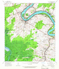
(14)- 1936 Map of White Castle, 1937 Print
 1936 White Castle1937 Print · USGSThe Mississippi River corridor and its sprawling plantation estates are captured here in the mid-1930s. Researchers can trace family roots at Pierre Part Settlement or locate landmarks like the Leper Colony and St Marys Ch & Cem.2 unique versions available
 - 1954 Map of Baton Rouge, 1974 Print
 1954 Baton Rouge1974 Print · USGSSoutheast Louisiana in the mid-fifties is captured here during a period of transition for its river and rail economies. Researchers can trace the path of the Mississippi River and find landmarks like the Bonnet Carre Spillway and Bayou Plaquemine.2 unique versions available
 - 1956 Map of Baton Rouge
 1956 Baton Rouge1956 Print · USGSSouth Louisiana at the height of the mid-century oil boom shows a landscape of river oxbows and rising industry. Researchers can trace family roots through river towns like Scotlandville or locate early industrial sites and Oil wells near Lake Maurepas.
 - 1961 Map of Baton Rouge, 1966 Print
 1961 Baton Rouge1966 Print · USGSSoutheastern Louisiana in the early sixties remains a landscape of deep river bends and sprawling coastal lakes. Genealogists and historians can trace the rail-and-river economy through landmarks like Free-Nigger Point, Donaldsonville, and the Illinois Central Railroad.
 - 1962 Map of Baton Rouge
 1962 Baton Rouge1962 Print · USGSSouth Louisiana in the early sixties reveals a landscape of river-bend parishes and emerging interstate corridors. Genealogists and historians can trace family roots through historic river towns like Donaldsonville and Plaquemine, or follow the path of the Illinois Central Railroad through the swamp basins.
 - 1963 Map of White Castle, 1966 Print
 1963 White Castle1966 Print · USGSThe riverfront and sugar lands of Iberville and Ascension Parishes are captured here in the early 1960s. Researchers can trace family sites from White Castle to Bellerose, including numerous river landings like Hard Times Ldg and the National Leprosarium.3 unique versions available
 - 1974 Map of Belle Rose, 1975 Print
 1974 Belle Rose1975 Print · USGSAssumption and Ascension Parishes come alive in the mid-seventies, showing the distinctive long-lot patterns along the Mississippi River and Bayou Lafourche. Genealogists and local historians can trace family-named settlements like Smoke Bend, Belle Alliance, and Klotzville as they appeared decades ago.
 - 1984 Map of Baton Rouge
 1984 Baton Rouge1984 Print · USGSBaton Rouge and the surrounding river country are captured in the mid-eighties as the industrial corridor met the deep wetlands of the basin. Researchers can trace the winding Bayou Teche, locate family roots in St Martinville, or study the massive Atchafalaya Basin Floodway.2 unique versions available
 - 1999 Map of Belle Rose, 2000 Print
 1999 Belle Rose2000 Print · USGSAssumption and Ascension Parishes are shown at the turn of the millennium as the local economy balances traditional bayou settlement with modern industry. Trace the historical footprint of Donaldsonville and small communities like Belle Alliance or Sweet Home.
 - 2012 Map of Belle Rose, 2012 Print
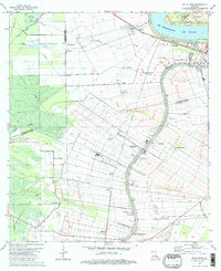
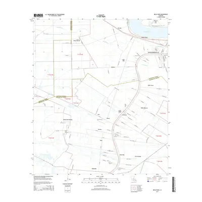
 2012 Belle Rose2012 Print · USGSCovers Bruly McCall, including Donaldsonville, Palo Alto, and other nearby areas
 - 2015 Map of Belle Rose, 2015 Print
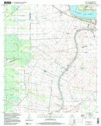
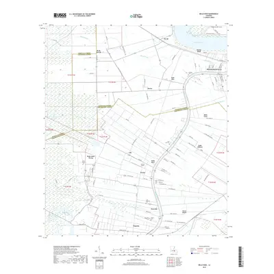
 2015 Belle Rose2015 Print · USGSCovers Bruly McCall, including Donaldsonville, Palo Alto, and other nearby areas
 - 2018 Map of Belle Rose, 2018 Print
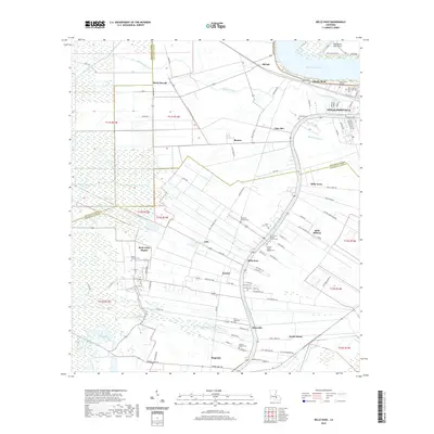
 2018 Belle Rose2018 Print · USGSCovers Bruly McCall, including Donaldsonville, Palo Alto, and other nearby areas
 - 2020 Map of Belle Rose, 2020 Print
 2020 Belle Rose2020 Print · USGSCovers Bruly McCall, including Donaldsonville, Palo Alto, and other nearby areas
 - 2024 Map of Belle Rose, 2024 Print
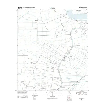
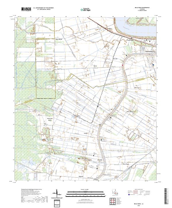 2024 Belle Rose2024 Print · USGSThe Mississippi River and Bayou Lafourche corridor near Donaldsonville are shown in the 2020s. Genealogists can locate family burial sites at First Israel Baptist Church Cem, Saint Augustine Cem, and Saint Jules Cem.
End of results
Showing maps 1-14 of 14
Top cities near Bruly McCall
- St. George historical maps
- Prairieville historical maps
- Gonzales historical maps
- Donaldsonville historical maps
- Plaquemine historical maps
- White Castle historical maps
See more
Frequently asked questions
- What are the different types of historical maps available for Bruly McCall?
- What is the oldest map of Bruly McCall?
- Where can I purchase historical maps of Bruly McCall for my home or office?
- Where can I download high-res historical maps of Bruly McCall?
- Are there historical topographic maps available for Bruly McCall?
- Is there historical aerial imagery available for Bruly McCall?
- Where are historical maps of Bruly McCall sourced from?