2000s (21st Century) Maps of Donaldsonville, Louisiana
Explore 10 historic maps of Donaldsonville from the 2000s (21st Century). These maps offer a rare glimpse into what life looked like during the 2000s — showing old roads, neighborhoods, homes, and landmarks that have changed or disappeared over time.
Whether you're researching your family's past, planning a metal detecting trip, or studying how Donaldsonville's landscape evolved across the 2000s, these high-resolution maps are a powerful tool for exploring the history of this region.
- Focus on a specific era: All maps on this page are from the 2000s, giving you a focused view of this time period.
- See what’s changed: Compare century-old streets, trails, and buildings to today's modern landscape using overlays and satellite layers.
- Research with precision: Use these maps for genealogy, historical research, land use analysis, or educational projects.
- View, download, or print: Maps are fully viewable online in high resolution, and can be downloaded or printed for your own records.
Start exploring Donaldsonville's history through authentic maps from the 2000s. This is your window into the past.
Donaldsonville, LA maps
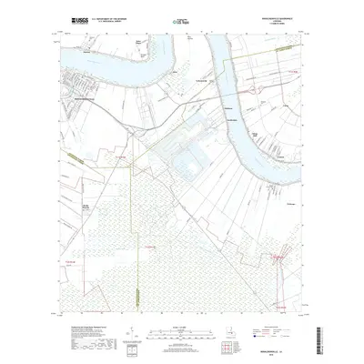
(10)- 2012 Map of Donaldsonville, 2012 Print
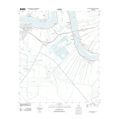 2012 Donaldsonville2012 Print · USGSCovers Donaldsonville, including White Hall, Lauderdale, and other nearby areas
 - 2012 Map of Belle Rose, 2012 Print
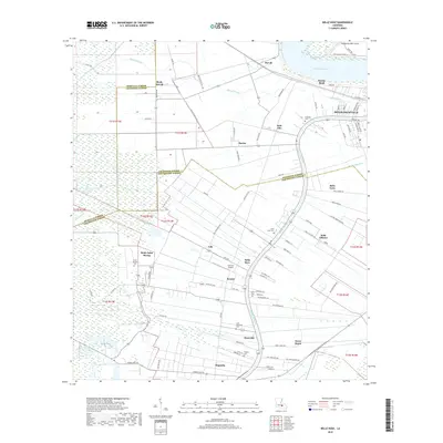
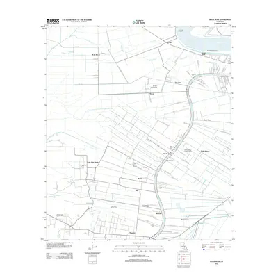 2012 Belle Rose2012 Print · USGSCovers Donaldsonville, including Palo Alto, Smoke Bend, and other nearby areas
 - 2015 Map of Belle Rose, 2015 Print
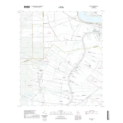
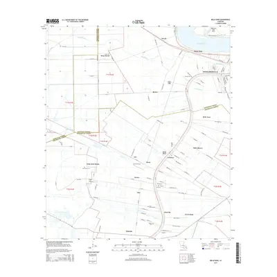 2015 Belle Rose2015 Print · USGSCovers Donaldsonville, including Palo Alto, Smoke Bend, and other nearby areas
 - 2015 Map of Donaldsonville, 2015 Print
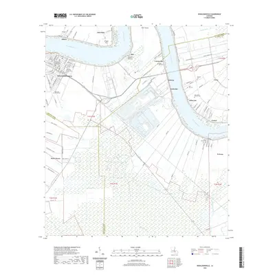
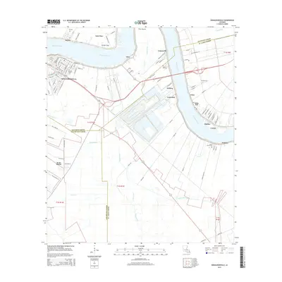 2015 Donaldsonville2015 Print · USGSCovers Donaldsonville, including White Hall, Lauderdale, and other nearby areas
 - 2018 Map of Donaldsonville, 2018 Print
 2018 Donaldsonville2018 Print · USGSCovers Donaldsonville, including White Hall, Lauderdale, and other nearby areas
 - 2018 Map of Belle Rose, 2018 Print
 2018 Belle Rose2018 Print · USGSCovers Donaldsonville, including Palo Alto, Smoke Bend, and other nearby areas
 - 2020 Map of Belle Rose, 2020 Print
 2020 Belle Rose2020 Print · USGSCovers Donaldsonville, including Palo Alto, Smoke Bend, and other nearby areas
 - 2020 Map of Donaldsonville, 2020 Print
 2020 Donaldsonville2020 Print · USGSCovers Donaldsonville, including White Hall, Lauderdale, and other nearby areas
 - 2024 Map of Donaldsonville, 2024 Print
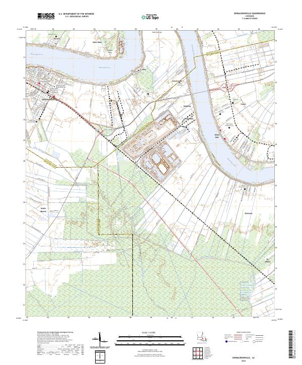 2024 Donaldsonville2024 Print · USGSThe river bends of Ascension and St. James Parishes are documented here in detail, showcasing the historic layout of DONALDSONVILLE and its surrounding river road settlements. Genealogists can trace family locations through numerous sites like Philippian Cem, Mount Bethel Baptist Church Cem, and Aben.
 - 2024 Map of Belle Rose, 2024 Print
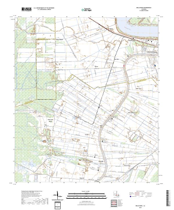 2024 Belle Rose2024 Print · USGSThe Mississippi River and Bayou Lafourche corridor near Donaldsonville are shown in the 2020s. Genealogists can locate family burial sites at First Israel Baptist Church Cem, Saint Augustine Cem, and Saint Jules Cem.
End of results
Showing maps 1-10 of 10
Top cities near Donaldsonville
- St. George historical maps
- Prairieville historical maps
- Gonzales historical maps
- White Castle historical maps
- Sorrento historical maps
- French Settlement historical maps
See more
Frequently asked questions
- What are the different types of historical maps available for Donaldsonville?
- What is the oldest map of Donaldsonville?
- Where can I purchase historical maps of Donaldsonville for my home or office?
- Where can I download high-res historical maps of Donaldsonville?
- Are there historical topographic maps available for Donaldsonville?
- Is there historical aerial imagery available for Donaldsonville?
- Where are historical maps of Donaldsonville sourced from?